Saltfleet Haven
Sea, Estuary, Creek in Lincolnshire East Lindsey
England
Saltfleet Haven

Saltfleet Haven is a small coastal village located in the East Lindsey district of Lincolnshire, England. Positioned on the eastern coast of England, it lies between Mablethorpe and Cleethorpes. The village is primarily known for its picturesque sea, estuary, and creek.
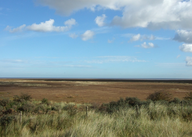
The village is situated on the edge of the salt marshes that stretch along the coast. It is bordered by the North Sea to the east, with its long sandy beach attracting visitors for leisure activities such as sunbathing, picnicking, and beachcombing. The azure waters of the sea offer opportunities for swimming and water sports during the summer months.
To the north of the village, the Saltfleetby-Theddlethorpe Dunes National Nature Reserve encompasses a vast area of saltmarsh, sand dunes, and mudflats. This reserve is a haven for birdwatchers, as it provides habitat for a wide variety of bird species, including rare and migratory birds.
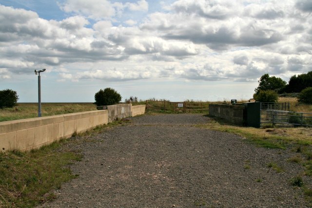
Saltfleet Haven is also blessed with an estuary and creek system. The Saltfleet Haven Creek, which meanders through the village, provides a sheltered haven for boats and yachts. It is a popular spot for sailing and fishing enthusiasts who can explore the winding waterways and cast their lines for a variety of fish species.
The tranquility and natural beauty of Saltfleet Haven make it an appealing destination for those seeking a peaceful coastal getaway. With its stunning sea, estuary, and creek, the village offers a range of recreational activities for visitors to enjoy while surrounded by the pristine coastal environment.
If you have any feedback on the listing, please let us know in the comments section below.
Saltfleet Haven Images
Images are sourced within 2km of 53.412326/0.22185213 or Grid Reference TF4792. Thanks to Geograph Open Source API. All images are credited.


Saltfleet Haven is located at Grid Ref: TF4792 (Lat: 53.412326, Lng: 0.22185213)
Administrative County: Lincolnshire
District: East Lindsey
Police Authority: Lincolnshire
What 3 Words
///drew.skillet.sports. Near North Somercotes, Lincolnshire
Nearby Locations
Related Wikis

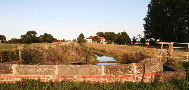
Great Eau
The Great Eau is a river in Lincolnshire, England, rising from the Chalk Streams of the Lincolnshire Wolds and running to Saltfleet Haven on the coast...
Saltfleetby-Theddlethorpe Dunes National Nature Reserve
Saltfleetby-Theddlethorpe Dunes is a national nature reserve on the coast of Lincolnshire, England, in the parishes of Saltfleetby and Theddlethorpe. It...
Saltfleet
Saltfleet is a coastal village in the East Lindsey district of Lincolnshire, England. It is approximately 8 miles (13 km) north of Mablethorpe and 11...
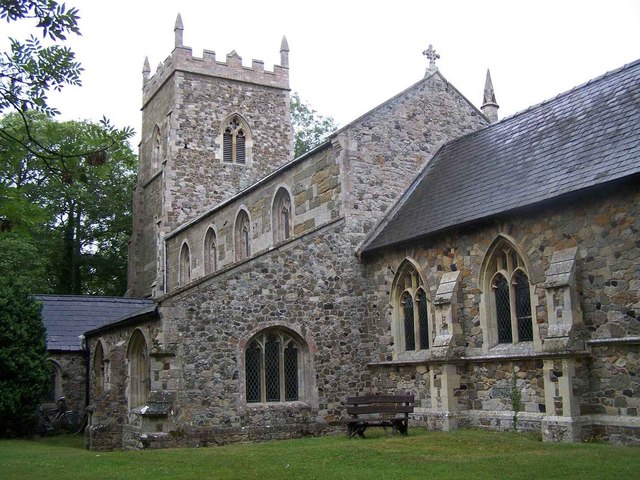
All Saints Church, Saltfleetby
All Saints Church, Saltfleetby, is a redundant Anglican church in the village of Saltfleetby All Saints, Lincolnshire, England. It is recorded in the...
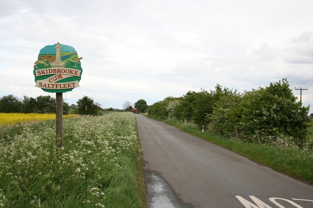
Skidbrooke
Skidbrooke, also called Skidbrooke cum Saltfleet, is a hamlet in the East Lindsey district of Lincolnshire, England. It is situated 10 miles (16 km) north...

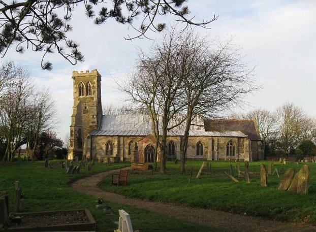
St Botolph's Church, Skidbrooke
St Botolph's Church is a redundant Anglican church near the village of Skidbrooke, Lincolnshire, England. It is recorded in the National Heritage List...
Long Eau
The Long Eau is a river in Lincolnshire, England, rising from the Chalk Streams of the Lincolnshire Wolds and joining its companion stream, the Great Eau...
Theddlethorpe St Helen
Theddlethorpe St Helen or East Theddlethorpe is a village and civil parish in the East Lindsey district of the county of Lincolnshire, England. It lies...
Have you been to Saltfleet Haven?
Leave your review of Saltfleet Haven below (or comments, questions and feedback).