Buddswall Lake

Sea, Estuary, Creek in Hampshire Havant

England

Buddswall Lake

Havant railway station  Havant railway station and footbridge seen from the London-bound platform looking westbound. The station is operated by South Western Railway and is served also by Southern.
Havant railway station Credit: Daniel Parks

Buddswall Lake is a charming and picturesque body of water located in Hampshire, England. Situated near the village of Buddswall, this lake offers a unique blend of both natural beauty and historical significance.

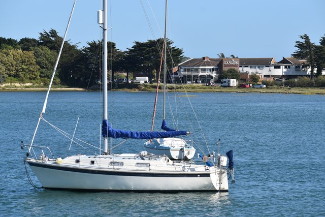
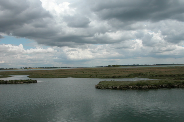
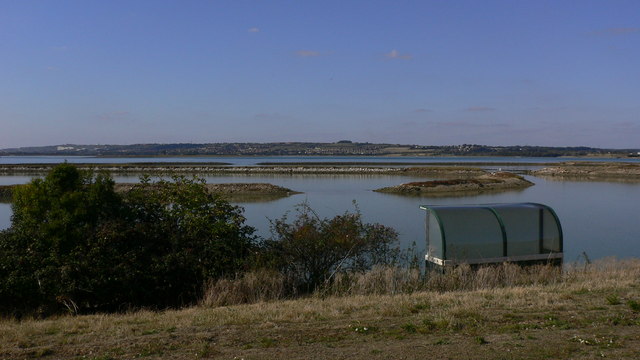
Known as a sea, estuary, and creek, Buddswall Lake is a tidal inlet that connects to the English Channel. It stretches for approximately 2 miles, providing a serene and tranquil environment for visitors and locals alike. The lake is surrounded by lush greenery and rolling hills, creating a breathtaking backdrop for nature enthusiasts.

With its tidal nature, the water levels of Buddswall Lake vary throughout the day, creating an ever-changing landscape. During high tide, the lake fills up, resembling a small sea, while at low tide, the water recedes, revealing vast mudflats that are home to a diverse range of wildlife.

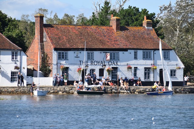
The lake is not only a haven for nature lovers but also a popular spot for water-based activities. Fishing enthusiasts can indulge in their favorite pastime, as the lake is known for its abundance of fish species including bass, flounder, and mullet. Additionally, kayaking and paddleboarding are popular recreational activities among visitors who want to explore the lake's serene waters at their own pace.

Buddswall Lake also holds historical significance, as it was once a thriving port and an important trading point during the medieval period. Today, remnants of the port can still be seen in the form of old quays and stone structures that add a touch of nostalgia to the area.

All in all, Buddswall Lake is a hidden gem in Hampshire, offering a delightful blend of natural beauty, recreational opportunities, and historical significance. Whether you are seeking a peaceful retreat or an adventure on the water, this idyllic lake is sure to captivate your heart.

If you have any feedback on the listing, please let us know in the comments section below.

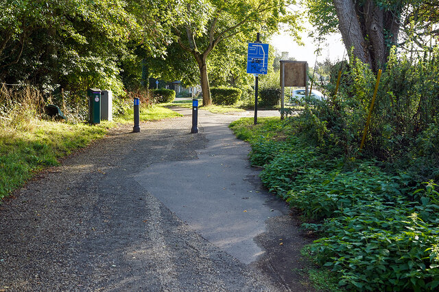
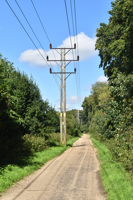
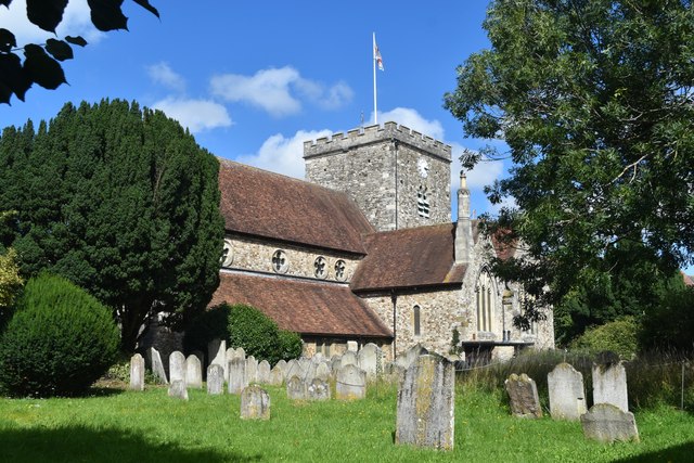
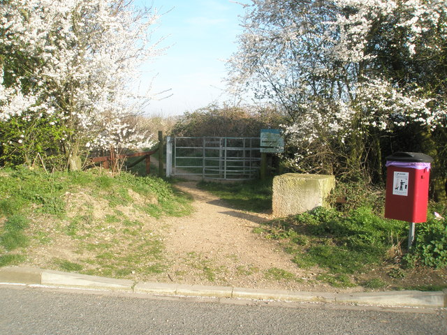
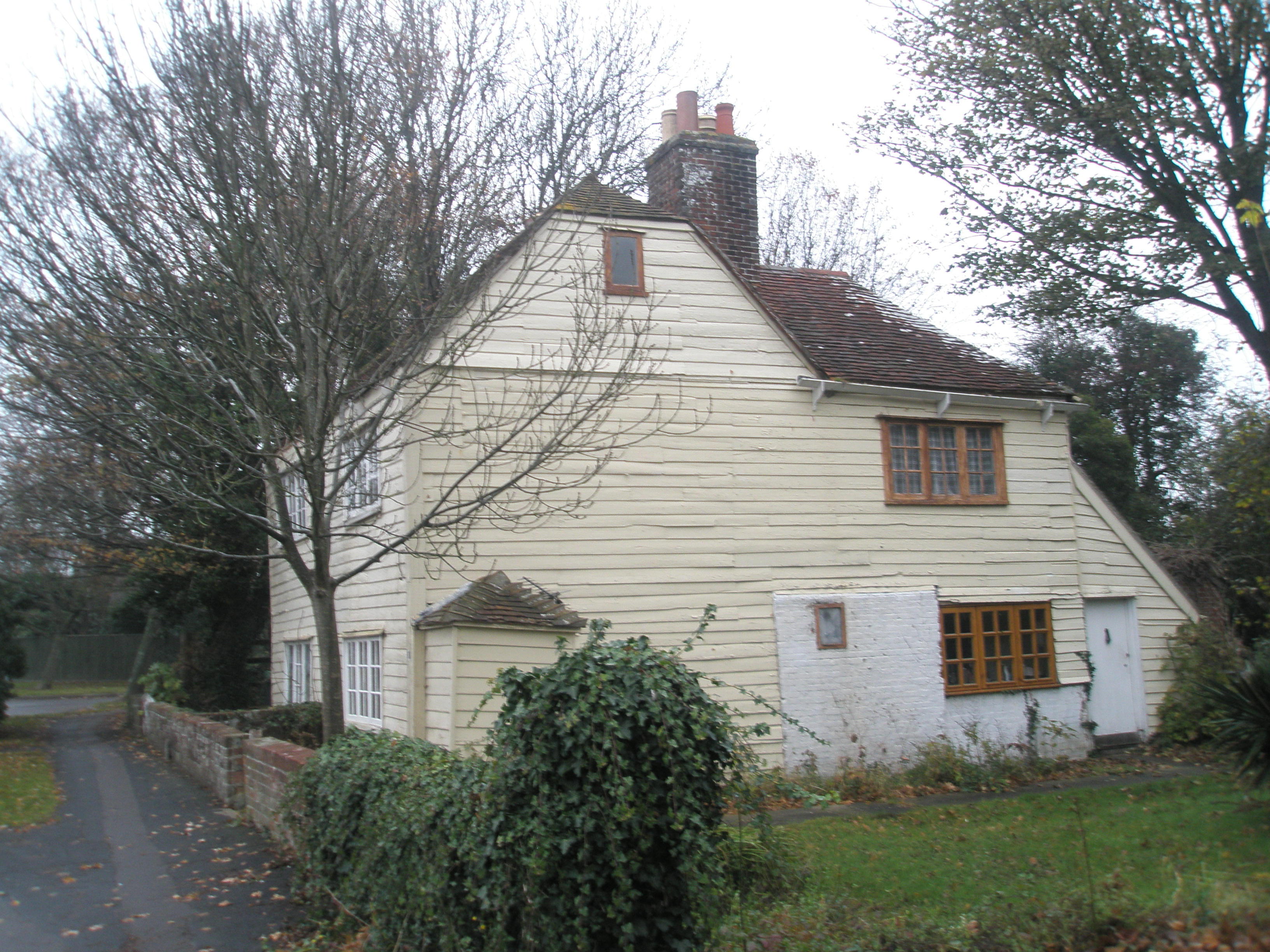
Buddswall Lake Images

Images are sourced within 2km of 50.839416/-0.99614038 or Grid Reference SU7004. Thanks to Geograph Open Source API. All images are credited.

Havant railway station  Havant railway station and footbridge seen from the London-bound platform looking westbound. The station is operated by South Western Railway and is served also by Southern.
Havant railway station
Havant railway station and footbridge seen from the London-bound platform looking westbound. The station is operated by South Western Railway and is served also by Southern.
Class 377 EMU at Havant A Southern Railway services operated by 377419 arriving at Havant.
Class 377 EMU at Havant
A Southern Railway services operated by 377419 arriving at Havant.
Milestone, Langstone, Havant District Adjacent to the boundary of Langstone on the approach road to Langstone Bridge. On the SW grass verge.

Inscription: 1 mile☛  / Havant / ☚5 miles / Hayling / Beach /
Langstone Village Association / 1998 

Milestone Society National ID: HA_LNG01
Milestone, Langstone, Havant District
Adjacent to the boundary of Langstone on the approach road to Langstone Bridge. On the SW grass verge. Inscription: 1 mile☛ / Havant / ☚5 miles / Hayling / Beach / Langstone Village Association / 1998 Milestone Society National ID: HA_LNG01
Hayling Billy line The remains of the Hayling Billy Railway line crossing from Havant to Hayling island. The final train ran on Saturday 2 November 1963
Hayling Billy line
The remains of the Hayling Billy Railway line crossing from Havant to Hayling island. The final train ran on Saturday 2 November 1963
Car park, Havant Station I stood about here in 1963 and watched a 'Terrier' tank being hand-coaled, ready for its next run to Hayling Island - <a href="https://www.geograph.org.uk/photo/6218419">SU7106 : The glamour of steam?</a>. 1963 was the year that the line closed, so the old yard has, inevitably, become a boring car park. Now, the only visible links between the two shots are the chimneys on the houses beyond.
Car park, Havant Station
I stood about here in 1963 and watched a 'Terrier' tank being hand-coaled, ready for its next run to Hayling Island - SU7106 : The glamour of steam?. 1963 was the year that the line closed, so the old yard has, inevitably, become a boring car park. Now, the only visible links between the two shots are the chimneys on the houses beyond.
Pathway under the A27 road Now the Shipwrights Way, but was previously the Hayling Island railway branch line.
Pathway under the A27 road
Now the Shipwrights Way, but was previously the Hayling Island railway branch line.
The Shipwrights Way joins the A3023 road The A3023 road crosses into Hayling Island via the Langstone Bridge. This is now the only land link onto the Island and is also used by the Shipwrights Way, which is joined by the Hayling Billy Coastal Path on the island. A 2nd bridge onto the island was the Hayling rail branch line, but that closed in 1963.
The Shipwrights Way joins the A3023 road
The A3023 road crosses into Hayling Island via the Langstone Bridge. This is now the only land link onto the Island and is also used by the Shipwrights Way, which is joined by the Hayling Billy Coastal Path on the island. A 2nd bridge onto the island was the Hayling rail branch line, but that closed in 1963.
Mud flats at Bridge Lake The remains of the Langston Harbour rail bridge are visible across the centre of the view. The poor state of the bridge led to the closure of the Hayling branch line in 1963 (but I'm sure, if not for the bridge, another reason to close the line would have been found!). Although much of the bridge infrastructure remains, it cannot be used to cross to the island. There have been recent calls to rebuild it, at a minimum as a walkway, but that seems unlikely in the near future, given the financial constraints which currently prevail. The road bridge to the island is visible on the left.
Mud flats at Bridge Lake
The remains of the Langston Harbour rail bridge are visible across the centre of the view. The poor state of the bridge led to the closure of the Hayling branch line in 1963 (but I'm sure, if not for the bridge, another reason to close the line would have been found!). Although much of the bridge infrastructure remains, it cannot be used to cross to the island. There have been recent calls to rebuild it, at a minimum as a walkway, but that seems unlikely in the near future, given the financial constraints which currently prevail. The road bridge to the island is visible on the left.
Portsmouth Water - Havant OSBM Bolt (a) OSBM Bolt, Portsmouth Water board - Opposite reception offices inside site just to Left hand side of Tank Bund
Portsmouth Water - Havant OSBM Bolt (a)
OSBM Bolt, Portsmouth Water board - Opposite reception offices inside site just to Left hand side of Tank Bund
Portsmouth Water - Havant OSBM Bolt (b) OSBM Bolt, Portsmouth Water board - Opposite reception offices inside site just to Left hand side of Tank Bund
Portsmouth Water - Havant OSBM Bolt (b)
OSBM Bolt, Portsmouth Water board - Opposite reception offices inside site just to Left hand side of Tank Bund
Portsmouth Water Head Office (Havant) - Entrance Follow Green line to Reception offices - OSBM Bolt slightly past offices on opposite side of site road to left hand side of a Tank Bund
Portsmouth Water Head Office (Havant) - Entrance
Follow Green line to Reception offices - OSBM Bolt slightly past offices on opposite side of site road to left hand side of a Tank Bund
No 24 Cross Way - Havant Cut Benchmark on North face of house at No 24 Cross Way, Havant. The Cut Mark is on the North West angle of the building
Link to close up photo of benchmark below
<a href="https://www.geograph.org.uk/photo/7557716">SU7106 : Benchmark - No 24 Cross Way - Havant</a>
No 24 Cross Way - Havant
Cut Benchmark on North face of house at No 24 Cross Way, Havant. The Cut Mark is on the North West angle of the building Link to close up photo of benchmark below SU7106 : Benchmark - No 24 Cross Way - Havant
Benchmark - No 24 Cross Way - Havant Cut Benchmark on North face of house at No 24 Cross Way, Havant. The Cut Mark is on the North West angle of the building
Link to street view of property below:
<a href="https://www.geograph.org.uk/photo/7557714">SU7106 : No 24 Cross Way - Havant</a>
Benchmark - No 24 Cross Way - Havant
Cut Benchmark on North face of house at No 24 Cross Way, Havant. The Cut Mark is on the North West angle of the building Link to street view of property below: SU7106 : No 24 Cross Way - Havant
Houses in Parkside
Houses in Parkside
View from Langstone Bridge to Langstone Quays Resort
The Royal Oak pub, Langstone A classic view of this pretty waterside pub from the quayside in front of its neighbour, The Ship Inn.
The Royal Oak pub, Langstone
A classic view of this pretty waterside pub from the quayside in front of its neighbour, The Ship Inn.
Shipwrights Way Long-distance footpath and cycle path on the route of the former railway branch line to Hayling Island.
Shipwrights Way
Long-distance footpath and cycle path on the route of the former railway branch line to Hayling Island.
St Faith's Church, Havant Despite its rural appearance, this churchyard is in Havant town centre.
St Faith's Church, Havant
Despite its rural appearance, this churchyard is in Havant town centre.
Show me another place!

Buddswall Lake is located at Grid Ref: SU7004 (Lat: 50.839416, Lng: -0.99614038)

Administrative County: Hampshire

District: Havant

Police Authority: Hampshire

What 3 Words

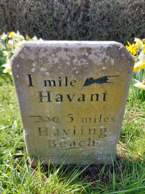
///humble.royal.sugar. Near Havant, Hampshire

Related Wikis

Southmoor Nature Reserve

Southmoor Nature Reserve is a 11-hectare (27-acre) nature reserve in Havant in Hampshire. It is managed by the Hampshire and Isle of Wight Wildlife Trust...

Langston railway station

Langston was a small station on the Hayling Island branch. The station along with the rest of the line closed in 1963, and it served the Langstone area...

Long Island (Hampshire)

Long Island is an island in Langstone Harbour in Hampshire, England. It is 750 metres (820 yd) long and up to 250 metres (270 yd) wide. Three Bronze Age...

Langstone, Hampshire

Langstone is a village near Havant, Hampshire in the south east of England in Portsmouth. It has good railway connections to London, Southampton, Portsmouth...
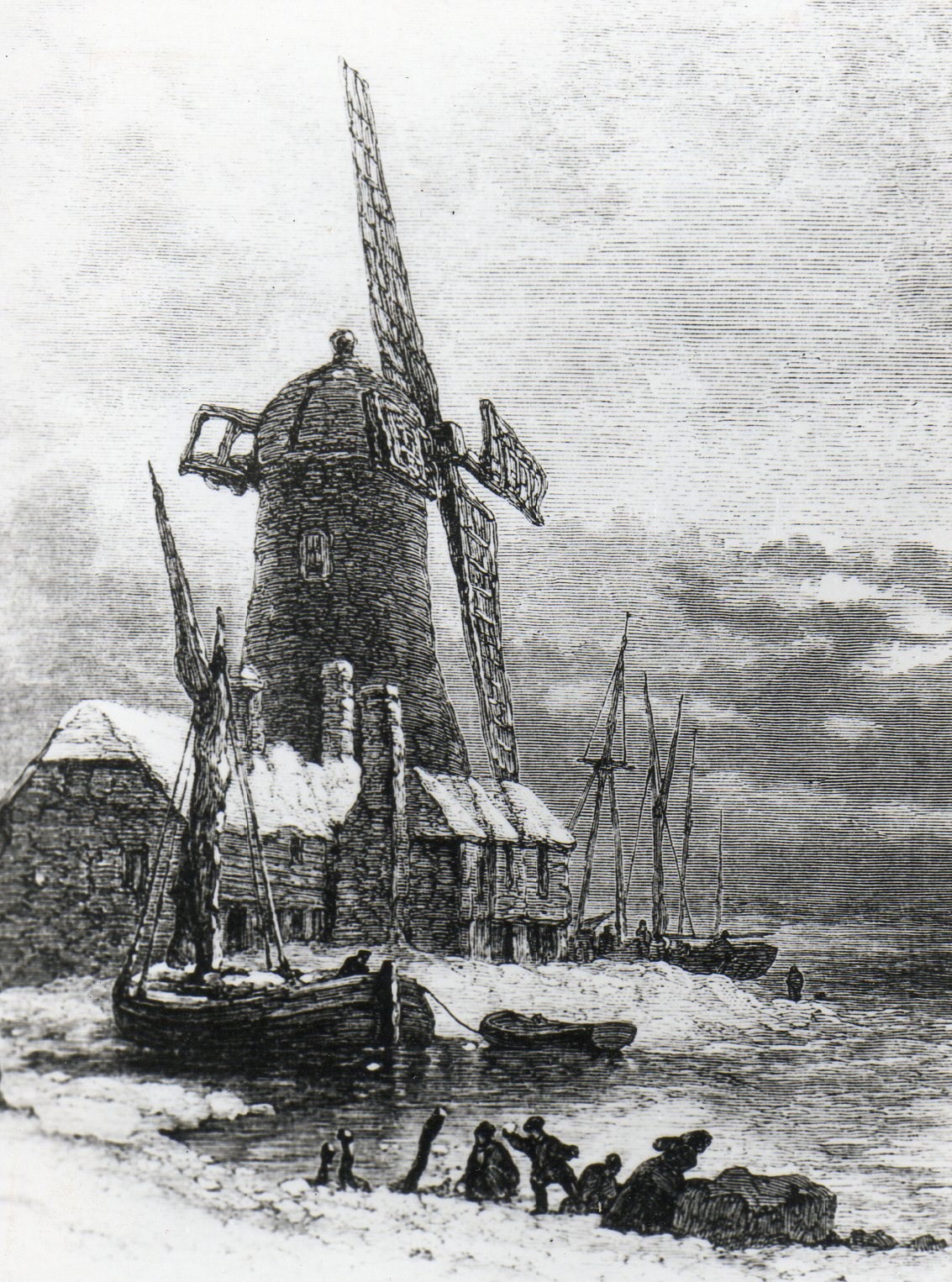
Langstone Windmill

Langstone Windmill is a Grade II listed tower mill at Langstone, Hampshire in England. It has been converted to residential accommodation. == History... ==
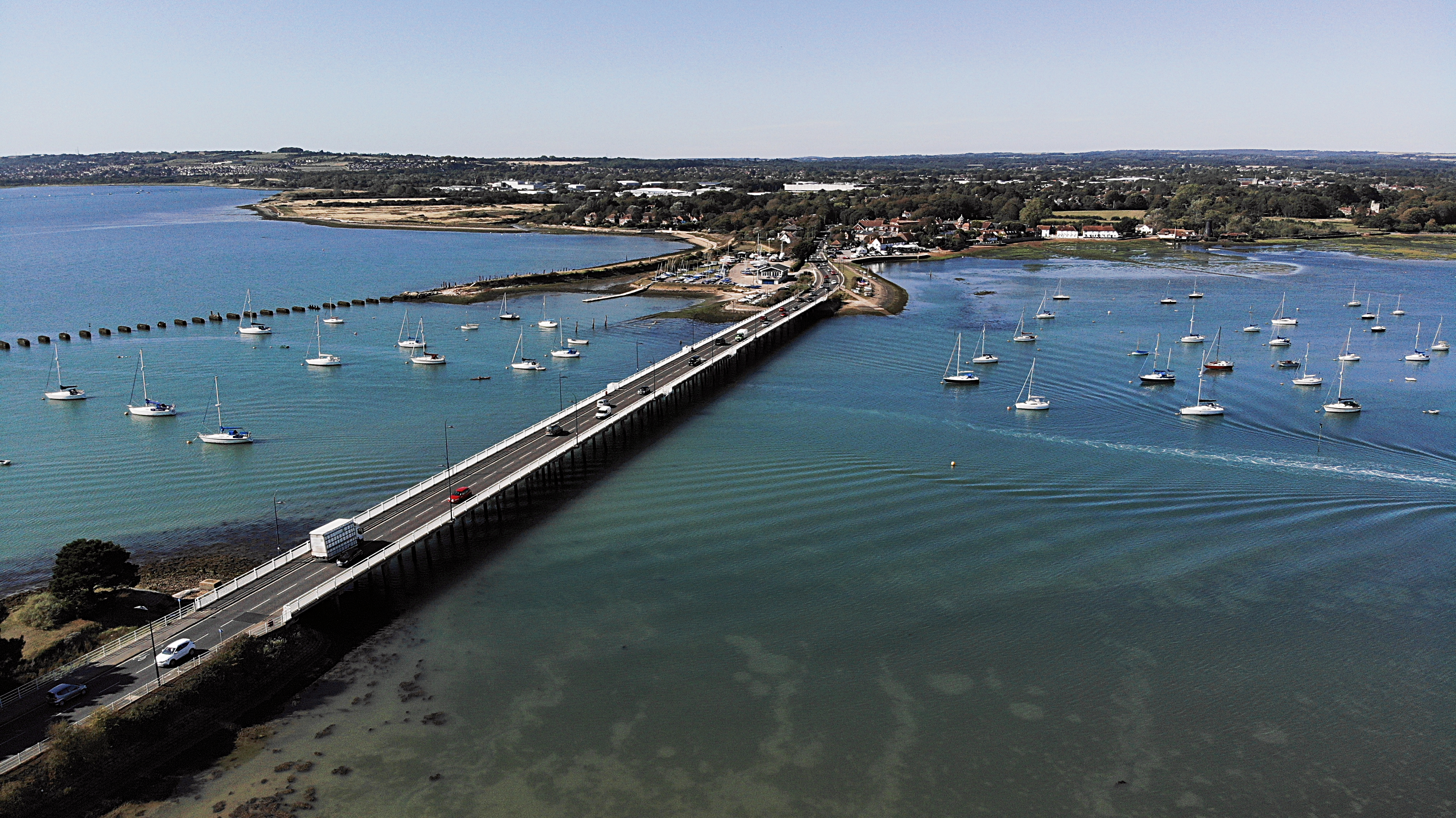
Langstone Bridge

Langstone Bridge (also known as Hayling Bridge) connects Hayling Island with the English mainland of Hampshire. The name of the bridge is derived from...

North Binness Island

North Binness Island is an island in Langstone Harbour It is 900 metres (980 yd) long and up to 250 metres (270 yd) wide but only rises to 2.5 metres...

West Hayling

West Hayling is a 76.2-hectare (188-acre) Local Nature Reserve on Hayling Island in Hampshire. It is owned by Havant Borough Council and managed by the...

Nearby Amenities

Located within 500m of 50.839416,-0.99614038
Source: PGS
Lat/Long: 50.841878/-0.998202
Source: PGS
Lat/Long: 50.8404852/-0.9971543
Source: PGS
Lat/Long: 50.84017/-0.9963259
Source: PGS
Lat/Long: 50.839824/-0.9957229
Source: PGS
Lat/Long: 50.8397243/-0.9953769
Source: PGS
Lat/Long: 50.8397942/-0.9950663
Source: PGS
Lat/Long: 50.8395069/-0.9945856
Source: PGS
Lat/Long: 50.8388402/-0.9936072
Source: PGS
Lat/Long: 50.838441/-0.992073
Source: PGS
Lat/Long: 50.8381798/-0.9911069
Power: pole
Lat/Long: 50.8418605/-0.9911942
Power: pole
Lat/Long: 50.8419113/-0.9911218
Power: pole
Lat/Long: 50.8412592/-0.9899309
Power: pole
Lat/Long: 50.8411474/-0.9898907
Parking
Lat/Long: 50.8433466/-0.9928908
Barrier: lift_gate
Lat/Long: 50.8430401/-0.9931778
Barrier: height_barrier
Lat/Long: 50.8418049/-0.994133
Barrier: lift_gate
Lat/Long: 50.8423624/-0.9937153
Barrier: cycle_barrier
Lat/Long: 50.841306/-0.9908558
Barrier: cycle_barrier
Lat/Long: 50.8419082/-0.9939764
Source: PGS
Lat/Long: 50.8412712/-0.9977394
Source: PGS
Lat/Long: 50.8422686/-0.9984915
Source: PGS
Lat/Long: 50.8428244/-0.9992192
Seamark Beacon Lateral Category: starboard
Seamark Beacon Lateral Colour: black
Seamark Beacon Lateral Shape: stake
Seamark Topmark Colour: green
Seamark Topmark Shape: cone, point up
Seamark Type: beacon_lateral
Lat/Long: 50.841232/-0.9995735
Seamark Beacon Lateral Category: starboard
Seamark Beacon Lateral Colour: black
Seamark Beacon Lateral Shape: stake
Seamark Type: beacon_lateral
Lat/Long: 50.8406494/-1.0027599
The data included in this document is from www.openstreetmap.org. The data is made available under ODbL.

Have you been to Buddswall Lake?

Leave your review of Buddswall Lake below (or comments, questions and feedback).