Chalkdock Lake

Sea, Estuary, Creek in Hampshire Havant

England

Chalkdock Lake

Houses in Parkside
Houses in Parkside Credit: David Martin

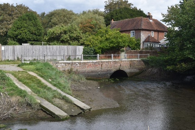
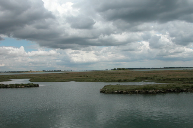
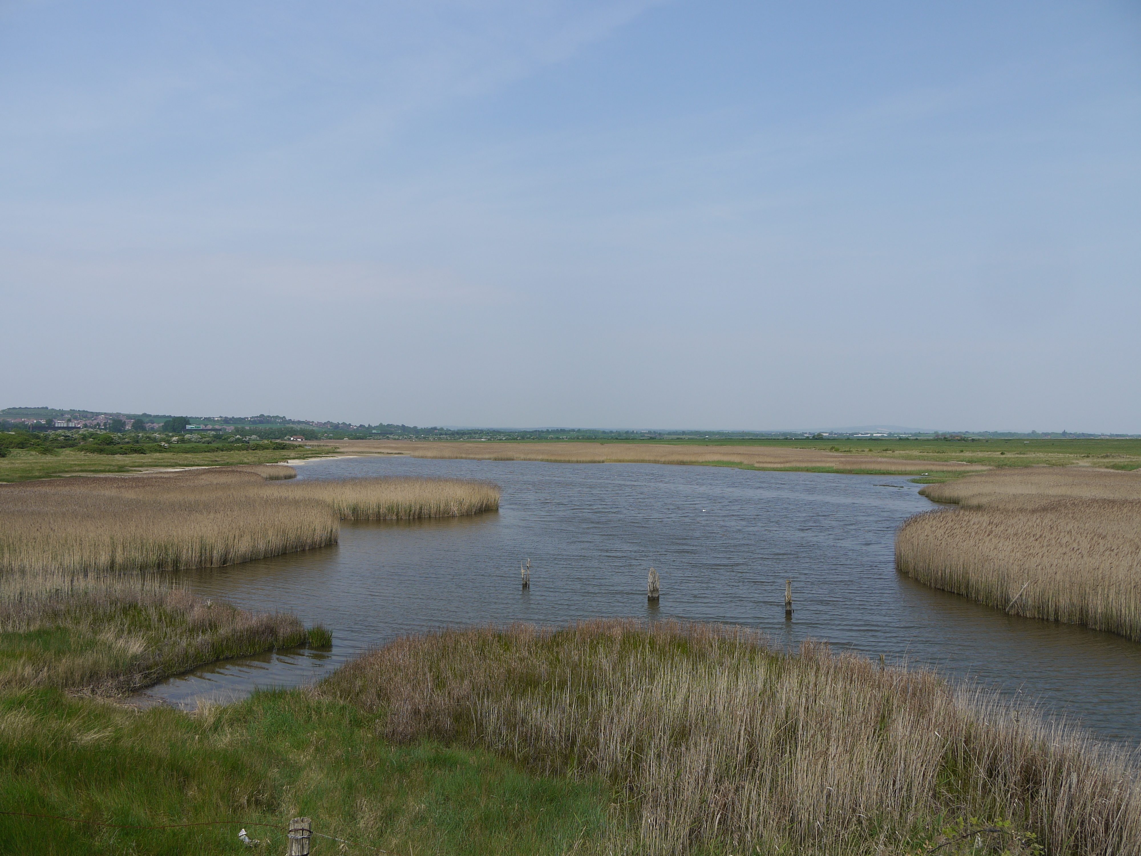
Chalkdock Lake is a picturesque body of water located in Hampshire, England. Situated along the coast, it is a unique combination of a sea, estuary, and creek, offering a diverse and captivating landscape.

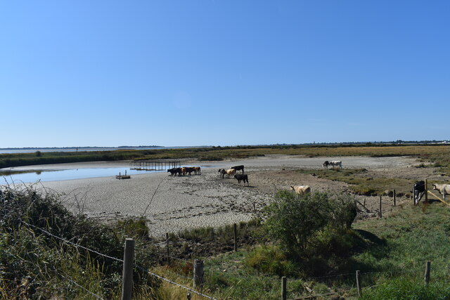
The lake is characterized by its tranquil and serene environment, attracting visitors who seek a peaceful retreat amidst nature. With its clear blue waters and surrounding lush greenery, Chalkdock Lake provides a picturesque backdrop for various recreational activities such as fishing, boating, and birdwatching.

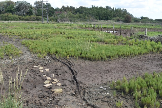
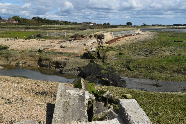
As an estuary, the lake is influenced by tidal movements, resulting in a dynamic ecosystem that supports a rich diversity of marine life. The intertidal zone is home to various species of fish, crustaceans, and mollusks, making it an ideal spot for anglers. Bird enthusiasts also flock to the lake to witness a plethora of avian species, including wading birds, ducks, and migratory birds that rely on the lake's abundant resources.

Chalkdock Lake's creek is a narrow waterway that meanders through the surrounding marshlands, creating a haven for wildlife and providing a natural drainage system. The creek's banks are lined with reeds and other vegetation, offering a sheltered habitat for small mammals, amphibians, and reptiles.

The lake's location within Hampshire makes it easily accessible to both locals and tourists, who can enjoy the scenic beauty and engage in various recreational activities. Chalkdock Lake truly offers a unique blend of sea, estuary, and creek, making it a captivating destination for nature lovers and outdoor enthusiasts alike.

If you have any feedback on the listing, please let us know in the comments section below.

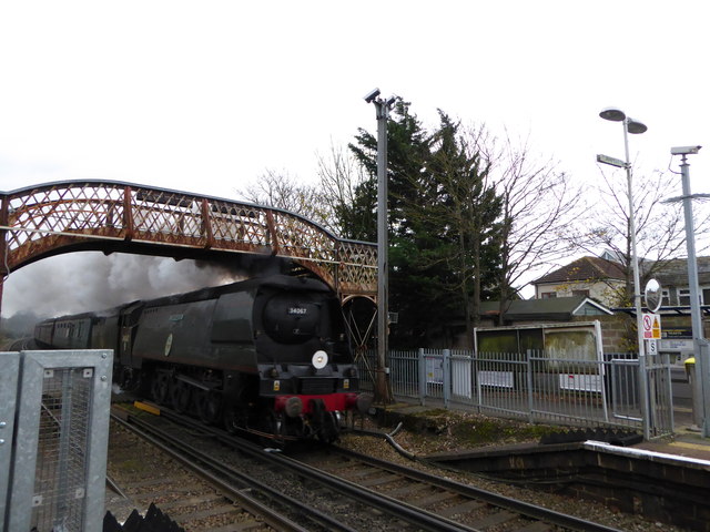
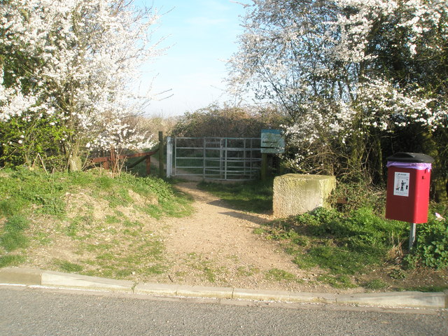
Chalkdock Lake Images

Images are sourced within 2km of 50.839185/-1.0121796 or Grid Reference SU6904. Thanks to Geograph Open Source API. All images are credited.

Houses in Parkside
Houses in Parkside
Path across marshland, Southmoor Nature Reserve
Bridge and former West Mill, Langstone
Channel in marshland, Southmoor Nature Reserve This area is now inundated by high tides, following <a href="https://www.geograph.org.uk/photo/7592560">SU7104 : Breach in sea wall, Southmoor Nature Reserve</a>. Compare <a href="https://www.geograph.org.uk/photo/5887297">SU7104 : South Moor Langstone</a> which shows the same fence in the foreground.
Channel in marshland, Southmoor Nature Reserve
This area is now inundated by high tides, following SU7104 : Breach in sea wall, Southmoor Nature Reserve. Compare SU7104 : South Moor Langstone which shows the same fence in the foreground.
Breach in sea wall, Southmoor Nature Reserve The breach occurred in 2020 and the marshland habitat has changed dramatically, with some areas now under water at each high tide: see <a href="https://www.geograph.org.uk/photo/7592550">SU7104 : Channel in marshland, Southmoor Nature Reserve</a>. The coastal footpath is officially closed.
Breach in sea wall, Southmoor Nature Reserve
The breach occurred in 2020 and the marshland habitat has changed dramatically, with some areas now under water at each high tide: see SU7104 : Channel in marshland, Southmoor Nature Reserve. The coastal footpath is officially closed.
On the shore at Southmoor Nature Reserve The projecting sea wall is at the end of Southmoor Lane.
On the shore at Southmoor Nature Reserve
The projecting sea wall is at the end of Southmoor Lane.
On the shore at Budd's Wall
Path on Budd's Wall Looking back towards Southmoor Lane.
Path on Budd's Wall
Looking back towards Southmoor Lane.
Starfish decoy control bunker Farlington no. 2 Control, one of two controlling the WWII bombing decoy for Portsmouth sited on Farlington Marshes.
Starfish decoy control bunker
Farlington no. 2 Control, one of two controlling the WWII bombing decoy for Portsmouth sited on Farlington Marshes.
Saltings with derelict boat, Langstone Harbour
The Deeps, Farlington Marsh This lake is called The Deeps, it's formed by a combination of overwash from the sea and retention of rainfall draining from the marsh. Following a recent extended hot and dry spell it's drying up and currently looks more like something from an African documentary than an English coastal lake.
The Deeps, Farlington Marsh
This lake is called The Deeps, it's formed by a combination of overwash from the sea and retention of rainfall draining from the marsh. Following a recent extended hot and dry spell it's drying up and currently looks more like something from an African documentary than an English coastal lake.
A3(M) with distant view across Langstone Harbour
Footbridge over A27 at Brockhampton
Steam train going under Bedhampton Railway Bridge
Pullman coaches passing the 10:13 to Littlehampton
2016: a year on Geograph (Day 8) My 120,000th image
My first ever image was a cricket ground <a title="https://www.geograph.org.uk/photo/569781" href="https://www.geograph.org.uk/photo/569781">Link</a> and I have taken many since to mark passing 5,000 or 10,000 multiples: <a title="https://www.geograph.org.uk/photo/930308" href="https://www.geograph.org.uk/photo/930308">Link</a>  <a title="https://www.geograph.org.uk/photo/1750707" href="https://www.geograph.org.uk/photo/1750707">Link</a> <a title="https://www.geograph.org.uk/photo/2034398" href="https://www.geograph.org.uk/photo/2034398">Link</a> <a title="https://www.geograph.org.uk/photo/2658917" href="https://www.geograph.org.uk/photo/2658917">Link</a> <a title="https://www.geograph.org.uk/photo/2854165" href="https://www.geograph.org.uk/photo/2854165">Link</a> 
<a title="https://www.geograph.org.uk/photo/3037720" href="https://www.geograph.org.uk/photo/3037720">Link</a> <a title="https://www.geograph.org.uk/photo/3211614" href="https://www.geograph.org.uk/photo/3211614">Link</a> <a title="https://www.geograph.org.uk/3582627" href="https://www.geograph.org.uk/3582627">Link</a>
<a title="https://www.geograph.org.uk/photo/4173703" href="https://www.geograph.org.uk/photo/4173703">Link</a>
and <a title="https://www.geograph.org.uk/photo/4583436" href="https://www.geograph.org.uk/photo/4583436">Link</a>
This one is Bedhampton Cricket Club, who play at Bidbury Mead
2016: a year on Geograph (Day 8)
My 120,000th image My first ever image was a cricket ground Link and I have taken many since to mark passing 5,000 or 10,000 multiples: Link Link Link Link Link Link Link Link Link and Link This one is Bedhampton Cricket Club, who play at Bidbury Mead
Rear of the new industrial units in Solent Road (taken from Brockhampton Road)
Rear of the new industrial units in Solent Road
(taken from Brockhampton Road)
Looking from Brockhampton Road over Solent Road and into Brockhampton Lane
Show me another place!

Chalkdock Lake is located at Grid Ref: SU6904 (Lat: 50.839185, Lng: -1.0121796)

Administrative County: Hampshire

District: Havant

Police Authority: Hampshire

What 3 Words

///sulk.driver.given. Near Havant, Hampshire

Related Wikis

North Binness Island

North Binness Island is an island in Langstone Harbour It is 900 metres (980 yd) long and up to 250 metres (270 yd) wide but only rises to 2.5 metres...

Long Island (Hampshire)

Long Island is an island in Langstone Harbour in Hampshire, England. It is 750 metres (820 yd) long and up to 250 metres (270 yd) wide. Three Bronze Age...

Southmoor Nature Reserve

Southmoor Nature Reserve is a 11-hectare (27-acre) nature reserve in Havant in Hampshire. It is managed by the Hampshire and Isle of Wight Wildlife Trust...

Baker's Island

Baker's Island is an island in Langstone Harbour, Hampshire, England. It is 400 m (1,300 ft) long and up to 300 m (980 ft) wide but only rises to a little...

Farlington Marshes

Farlington Marshes is a 119.7-hectare (296-acre) Local Nature Reserve in Portsmouth in Hampshire. It is owned by Portsmouth City Council and managed by...

Keydell House

Keydell House was situated in 45 acres (180,000 m2) of land near Lovedean Corner, in the village of Horndean, part of the ecclesiastical parish of Catherington...

The Elms (Bedhampton)

The Elms is an historic house in Old Bedhampton, near Havant, Hampshire in England. It is a Grade II* listed building The house was built in the 17th century...

Farlington, Hampshire

Farlington is a primarily residential district of the city of Portsmouth in the county of Hampshire, England. It is located in the extreme north east...

Have you been to Chalkdock Lake?

Leave your review of Chalkdock Lake below (or comments, questions and feedback).