Haslar Lake
Sea, Estuary, Creek in Hampshire Gosport
England
Haslar Lake

Haslar Lake is a picturesque body of water located in Gosport, Hampshire, England. Situated on the south coast of the country, it is primarily known for its unique combination of sea, estuary, and creek characteristics.
At first glance, Haslar Lake appears to be a small, tranquil lake. However, it is actually connected to the Solent, a strait that separates the Isle of Wight from mainland England. This connection allows sea water to flow into the lake, giving it a distinct saline quality. As a result, the lake supports a diverse ecosystem with a variety of marine life, including fish, crustaceans, and mollusks.
In addition to its sea influence, Haslar Lake is also fed by several small streams and creeks that flow into it. These freshwater sources bring nutrients and sediment, creating a dynamic environment for both plant and animal species. The lake's flora includes reeds, water lilies, and various aquatic plants, providing a habitat for waterfowl and other birds.
The estuary nature of Haslar Lake is evident in its tidal patterns. The water level rises and falls with the tides, creating an ever-changing landscape. During high tide, the lake expands, merging with the surrounding marshes and mudflats. As the tide recedes, numerous small channels and sandbanks are exposed, attracting wading birds and other wildlife.
Haslar Lake is a popular destination for both nature enthusiasts and recreational activities. Visitors can enjoy boating, fishing, and birdwatching while taking in the scenic beauty of the surrounding landscape. The lake's unique combination of sea, estuary, and creek characteristics makes it a truly remarkable and diverse ecosystem.
If you have any feedback on the listing, please let us know in the comments section below.
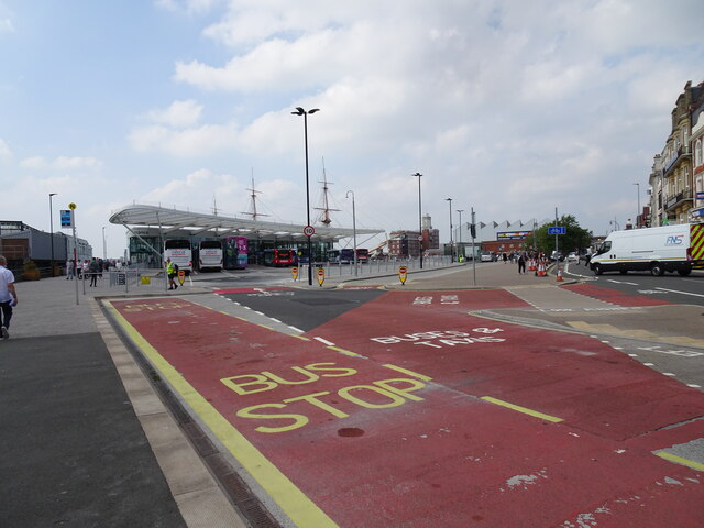
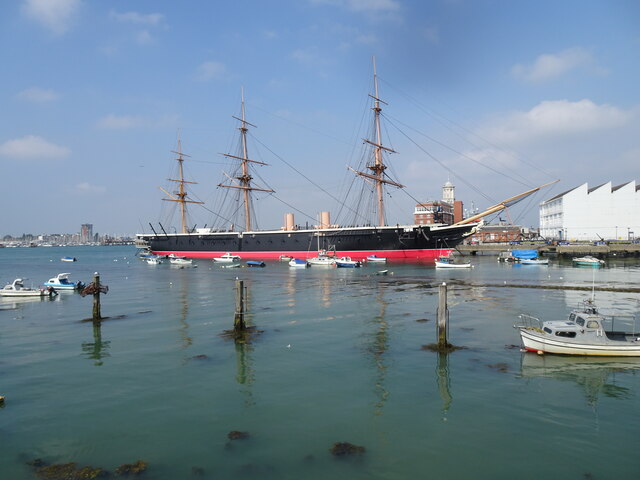
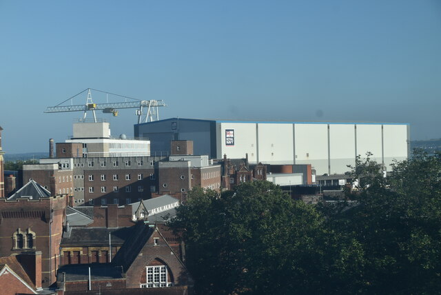
Haslar Lake Images
Images are sourced within 2km of 50.790288/-1.1244244 or Grid Reference SZ6199. Thanks to Geograph Open Source API. All images are credited.


Haslar Lake is located at Grid Ref: SZ6199 (Lat: 50.790288, Lng: -1.1244244)
Administrative County: Hampshire
District: Gosport
Police Authority: Hampshire
What 3 Words
///this.tamed.tigers. Near Gosport, Hampshire
Nearby Locations
Related Wikis
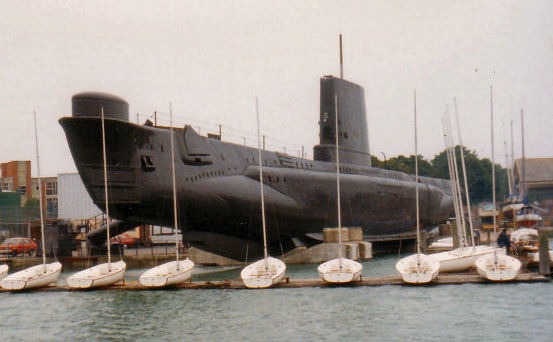
HMS Alliance (P417)
HMS Alliance (P417/S67) is a Royal Navy A-class, Amphion-class or Acheron-class submarine, laid down towards the end of the Second World War and completed...

Haslar Marina
Haslar Marina is located inside Portsmouth Harbour, on the south coast of England, just to the west of the entrance. It can be easily identified by the...
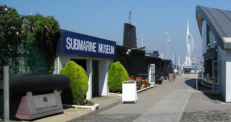
Royal Navy Submarine Museum
The Royal Navy Submarine Museum at Gosport is a maritime museum tracing the international history of submarine development from the age of Alexander the...

Royal Hospital Haslar
The Royal Hospital Haslar in Gosport, Hampshire, which was also known as the Royal Naval Hospital Haslar, was one of Britain's leading Royal Naval Hospitals...
Nearby Amenities
Located within 500m of 50.790288,-1.1244244Have you been to Haslar Lake?
Leave your review of Haslar Lake below (or comments, questions and feedback).