Inner Luff Way

Sea, Estuary, Creek in Yorkshire

England

Inner Luff Way

Redcar Boating Lake House in Newcomen Terrace.
Redcar Boating Lake Credit: Ian Rob

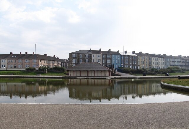
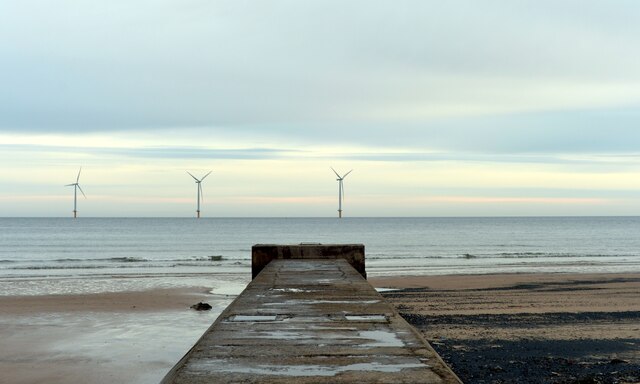
Inner Luff Way is a picturesque coastal area located in Yorkshire, England. Situated near the sea, estuary, and creek, it offers a unique blend of natural beauty and serene surroundings. The region is known for its stunning landscapes, making it a popular destination for nature enthusiasts and those seeking tranquility.

The area surrounding Inner Luff Way is characterized by its diverse ecosystem. The sea, estuary, and creek provide a rich habitat for various marine and bird species, attracting birdwatchers and wildlife enthusiasts from far and wide. Visitors can witness a myriad of seabirds, wading birds, and waterfowl in their natural habitat.

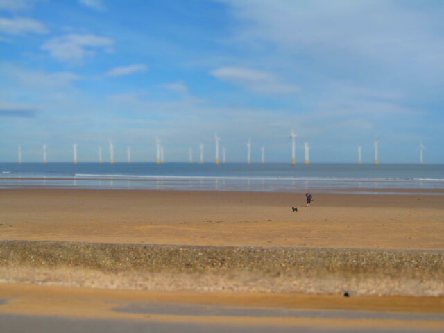
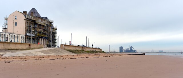
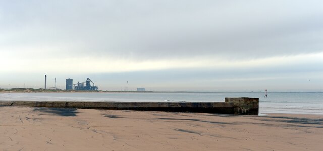
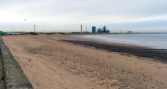
The coastal area also boasts breathtaking views of the sea, with its ever-changing tides and mesmerizing waves. It is an ideal spot for a leisurely stroll along the sandy shores or a refreshing dip in the crystal-clear waters during warmer months.

Moreover, the estuary and creek offer opportunities for outdoor activities such as kayaking, canoeing, and fishing. The calm waters and gentle currents make it an excellent location for beginners and experienced enthusiasts alike.

Inner Luff Way is a haven for those seeking solace and a break from the hustle and bustle of everyday life. Its unspoiled natural beauty, combined with the serene atmosphere, makes it a perfect destination for relaxation and rejuvenation. Whether one is looking to immerse themselves in nature, observe wildlife, or simply enjoy the coastal scenery, Inner Luff Way in Yorkshire offers an idyllic retreat.

If you have any feedback on the listing, please let us know in the comments section below.

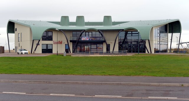
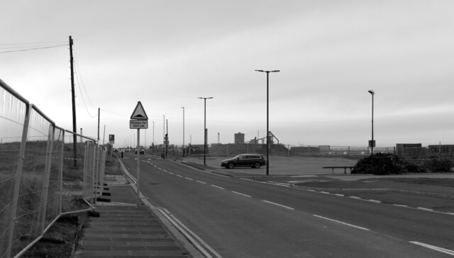
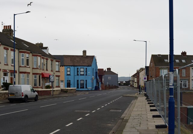
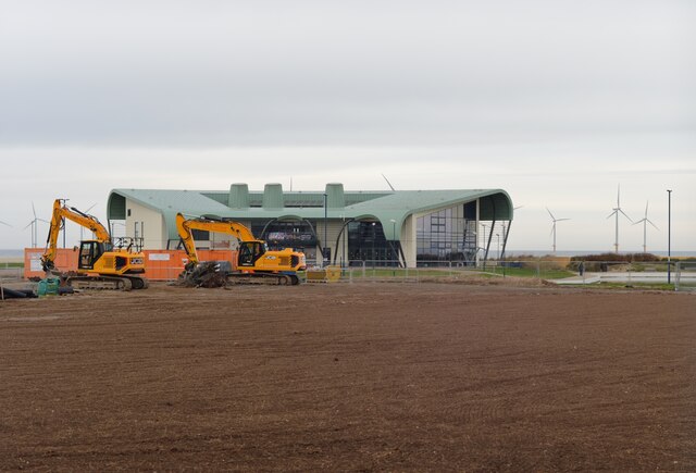
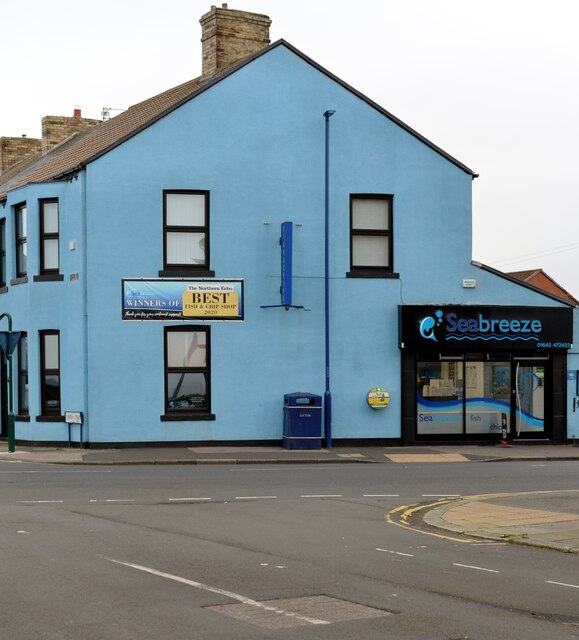
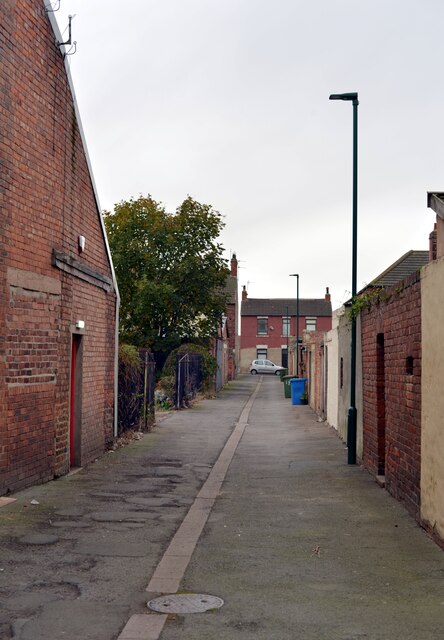
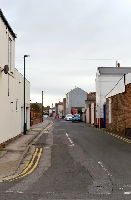
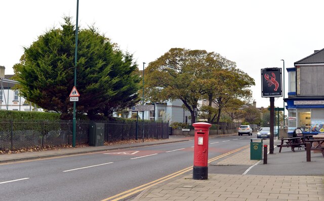
Inner Luff Way Images

Images are sourced within 2km of 54.619234/-1.0554983 or Grid Reference NZ6125. Thanks to Geograph Open Source API. All images are credited.

Redcar Boating Lake House in Newcomen Terrace.
Redcar Boating Lake
House in Newcomen Terrace.
Lots of sand, Redcar Looking out to sea from Redcar towards the wind farm.
Lots of sand, Redcar
Looking out to sea from Redcar towards the wind farm.
Regency Mansions, Redcar
The beach, Redcar
The beach, Redcar
Looking along a pipe towards Teesside Wind Farm, Redcar
The beach, Redcar
The beach, Redcar
Coatham Boating Lake, Redcar
Newcomen Terrace seen across Coatham Boating Lake, Redcar
Tuned In! recreation centre seen from Majuba Road, Redcar
Majuba Road, Redcar
Majuba Road, Redcar
Newcomen Terrace, Redcar
Development alongside Queen Street, Redcar
Seabreeze fish and chip shop, Lobster Road, Redcar
An alley off Lobster Road, Redcar
Peirson Street, Redcar
Coatham Road, Redcar A close-up of the post box can be seen in <a href="https://www.geograph.org.uk/photo/7342254">NZ5925 : Post box, Coatham Road, Redcar</a>.
Coatham Road, Redcar
A close-up of the post box can be seen in NZ5925 : Post box, Coatham Road, Redcar.
Post box, Coatham Road, Redcar This post box can be seen in context in <a href="https://www.geograph.org.uk/photo/7342253">NZ5925 : Coatham Road, Redcar</a>.
Post box, Coatham Road, Redcar
This post box can be seen in context in NZ5925 : Coatham Road, Redcar.
Nelson Terrace, Redcar
Show me another place!

Inner Luff Way is located at Grid Ref: NZ6125 (Lat: 54.619234, Lng: -1.0554983)

Division: North Riding

Unitary Authority: Redcar and Cleveland

Police Authority: Cleveland

What 3 Words

///sizes.soak.bumpy. Near Redcar, North Yorkshire

Related Wikis

Redcar Pier

Redcar Pier was a Victorian pleasure and landing pier constructed on The Esplanade in the seaside town of Redcar on the north east coast of Yorkshire,...

St Peter's Church, Redcar

St Peter's Church is an Anglican parish church in Redcar, Redcar and Cleveland, North Yorkshire, England. It was designed in 1829 by Ignatius Bonomi from...
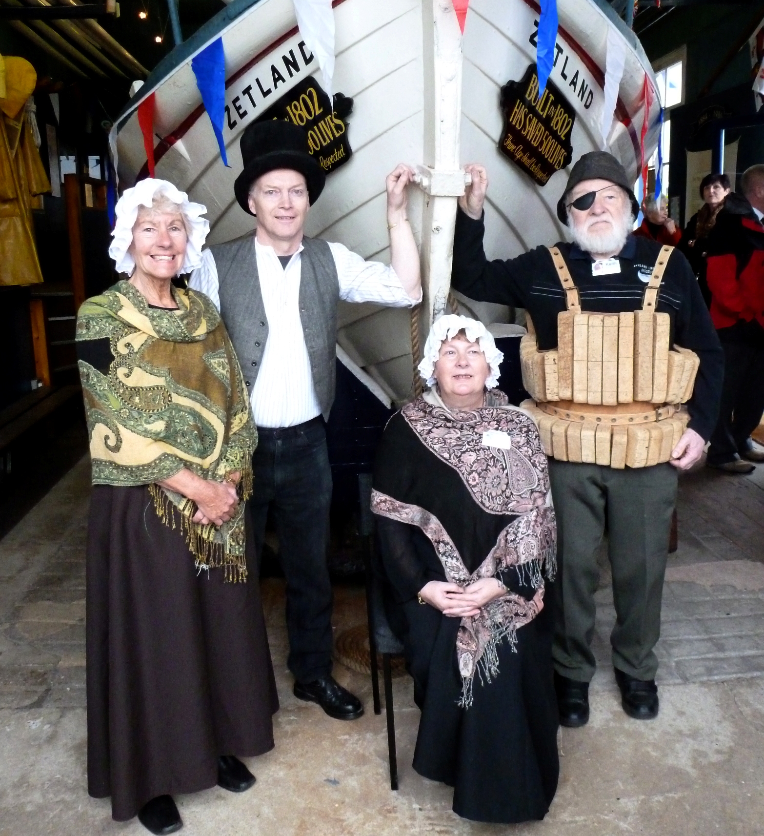
Zetland (lifeboat)

The Zetland is the oldest surviving lifeboat in the world. It is currently in a free museum in Redcar, England. The name Zetland comes from the local Lord...

Redcar Rocks

Redcar Rocks (grid reference NZ612203) is a 31.1 hectare biological and geological Site of Special Scientific Interest in North Yorkshire, England notified...

Redcar Lifeboat Station

Redcar Lifeboat Station is a Royal National Lifeboat Institution (RNLI) lifeboat station based in the town of Redcar in North Yorkshire, England. The station...

Redcar

Redcar is a seaside town on the Yorkshire Coast in the Redcar and Cleveland unitary authority in the ceremonial county of North Yorkshire, England. It...

Redcar Central railway station

Redcar Central is a railway station on the Tees Valley Line, which runs between Bishop Auckland and Saltburn via Darlington. The station, situated 7 miles...

Coatham Pier

Coatham Pier or Victoria Pier, Coatham, was a pleasure pier built on Newcomen Terrace in the Coatham area of Redcar on the north-east Yorkshire coast....

Related Videos

Full walking tour of Redcar Beach and Town Centre in [4K]

Its breath-taking landscapes, picturesque beaches, and endless coastline make Redcar a truly idyllic seaside resort! Once famed ...

My holiday season 3 episode 3 a trip to Redcar

Make sure you like and subscribe for more videos that would mean the world to me. Sorry this video was so short there was some ...

#trip #travel #🇬🇧

travel #uk #trip #

Nearby Amenities

Located within 500m of 54.619234,-1.0554983
Source: OS7
Lat/Long: 54.6160078/-1.0526157
Source: OS7
Lat/Long: 54.6163383/-1.0532969
Source: OS7
Lat/Long: 54.6169403/-1.0552389
Source: OS7
Lat/Long: 54.6173236/-1.0564598
Bus Stop
Redcar High Street East
Bus: yes
Local Ref: 5
Naptan AtcoCode: 078074859E
Naptan NaptanCode: recgptd
Public Transport: platform
Shelter: yes
Lat/Long: 54.6172945/-1.0584455
Traffic Signals
Lat/Long: 54.6167497/-1.0599585
Mini Roundabout
Direction: clockwise
Lat/Long: 54.6173232/-1.0598172
Source: PGS
Lat/Long: 54.6175534/-1.0576399
Source: OS7
Lat/Long: 54.6179202/-1.0593231
Source: OS7
Lat/Long: 54.6185676/-1.0616058
Turning Circle
Lat/Long: 54.6156467/-1.0585101
Give Way
Direction: backward
Lat/Long: 54.6173855/-1.058074
Seamark Light Category: front
Seamark Light Character: F
Seamark Light Colour: red
Seamark Light Height: 8
Seamark Light Range: 7
Seamark Light Reference: A 2616
Seamark Type: light_minor
Source: US NGA Pub. 114. 2011-04-02
Lat/Long: 54.6184508/-1.0616868
Seamark Light Category: rear
Seamark Light Character: F
Seamark Light Colour: red
Seamark Light Height: 12
Seamark Light Range: 7
Seamark Light Reference: A 2616.1
Seamark Type: light_minor
Source: US NGA Pub. 114. 2011-04-02
Lat/Long: 54.6174638/-1.0620491
Crossing
Crossing: uncontrolled
Crossing Island: yes
Lat/Long: 54.6176306/-1.0624093
Bus Stop
Redcar High Street East
Bus: yes
Local Ref: 4
Naptan AtcoCode: 078074859D
Naptan NaptanCode: recgpta
Public Transport: platform
Shelter: yes
Lat/Long: 54.6171123/-1.0588577
Bus Stop
The Plimsoll Line
Bench: yes
Bin: yes
Bus: yes
Local Ref: N
Naptan AtcoCode: 078074859F
Naptan NaptanCode: recgptg
Public Transport: platform
Lat/Long: 54.6174283/-1.0599765
Pub
The Plimsoll Line
Addr City: Redcar
Addr Housenumber: 138 - 142
Addr Postcode: TS10 3DH
Addr Street: High Street
Alt Name: Wetherspoons
Brand: Wetherspoon
Brand Wikidata: Q6109362
Fhrs Id: 273158
Internet Access: wlan
Internet Access Fee: no
Website: https://www.jdwetherspoon.com/pubs/all-pubs/england/north-yorkshire/the-plimsoll-line-redcar
Wikidata: Q88917676
Wikimedia Commons: File:The Plimsoll Line - High Street - geograph.org.uk - 5478606.jpg
Lat/Long: 54.6172402/-1.0604839
Crossing
Crossing: unmarked
Crossing Island: yes
Tactile Paving: yes
Lat/Long: 54.6151404/-1.0526432
Claxton House Hotel
Addr City: Redcar
Addr Housenumber: 194-198
Addr Postcode: TS10 3AW
Addr Street: High Street
Fhrs Id: 273201
Rooms: 30
Tourism: hotel
Website: https://claxtonhotel.co.uk/
Lat/Long: 54.6170886/-1.0579511
Noexit: yes
Lat/Long: 54.6181998/-1.0620006
Waste Basket
Lat/Long: 54.6153267/-1.0520694
Waste Basket
Lat/Long: 54.6155831/-1.0533511
Bench
Backrest: yes
Direction: 25
Lat/Long: 54.6155734/-1.0533243
Bench
Backrest: yes
Direction: 25
Lat/Long: 54.615592/-1.053382
Waste Basket
Lat/Long: 54.6157566/-1.0531681
Bench
Backrest: yes
Direction: 240
Lat/Long: 54.6157733/-1.0531808
Touchstone
Artist Name: Graham Johnson
Artwork Type: sculpture
Tourism: artwork
Wikimedia Commons: File:Sculpture at the Zetland Park roundabout - geograph.org.uk - 2384650.jpg
Lat/Long: 54.6156266/-1.0531835
Life Ring
Emergency: life_ring
Lat/Long: 54.6183247/-1.0610792
Leisure: slipway
Seamark Small Craft Facility Category: slipway
Seamark Type: small_craft_facility
Lat/Long: 54.6186856/-1.0618416
Artwork Type: installation
Tourism: artwork
Wikimedia Commons: File:Sculpture with a nautical theme - geograph.org.uk - 2384474.jpg
Lat/Long: 54.6173722/-1.0582839
Bus Stop
The Plimsoll Line
Bench: yes
Bus: yes
Public Transport: platform
Shelter: yes
Lat/Long: 54.6173963/-1.0612314
Bus: yes
Public Transport: stop_position
Lat/Long: 54.6174848/-1.0612027
Bus: yes
Public Transport: stop_position
Lat/Long: 54.6173466/-1.0600057
Crossing
Crossing: uncontrolled
Crossing Island: yes
Kerb: lowered
Tactile Paving: yes
Lat/Long: 54.6174192/-1.060695
Give Way
Direction: forward
Lat/Long: 54.6172364/-1.0581956
Street Lamp
Lat/Long: 54.614958/-1.0576657
Street Lamp
Lat/Long: 54.6150097/-1.0567013
Street Lamp
Lat/Long: 54.6148872/-1.0570801
Street Lamp
Lat/Long: 54.6149411/-1.0561943
Street Lamp
Lat/Long: 54.6150526/-1.0557817
Post Box
Post Box Type: pillar
Lat/Long: 54.6149713/-1.0556078
Street Lamp
Lat/Long: 54.6149739/-1.0553859
Street Lamp
Lat/Long: 54.615003/-1.0549377
Street Lamp
Lat/Long: 54.6151007/-1.0547647
Bubbleid: 1037880409
Man Made: sewer_vent
Manufacturer: Needham Stockport England
Manufacturer Wikidata: Q120926447
Lat/Long: 54.6151063/-1.0547309
Car Wash
Bubbles Valeting Services
Lat/Long: 54.6170467/-1.0612224
Kev Martin's Motorcycles
Shop: motorcycle
Lat/Long: 54.6170168/-1.0619122
Fast Food
Fisherman's Square
Addr City: Redcar
Addr Housenumber: 129
Addr Postcode: TS10 3BN
Addr Street: Lord Street
Cuisine: fish_and_chips
Fhrs Id: 838936
Source Addr: FHRS Open Data
Lat/Long: 54.6166056/-1.0572253
Fishermans Square Garage
Shop: car_repair
Lat/Long: 54.6161211/-1.0556868
Fast Food
Burger Up
Addr City: Redcar
Addr Housenumber: 99-101
Addr Postcode: TS10 3BW
Addr Street: Lord Street
Cuisine: burger
Fhrs Id: 1551137
Old Name: Nanna's Kitchen
Source Addr: FHRS Open Data
Lat/Long: 54.6167948/-1.0595934
LIV
Shop: hairdresser
Lat/Long: 54.6168135/-1.0597683
Furniture Medic
Craft: furniture_repair
Lat/Long: 54.6168436/-1.0601425
Disused Shop: books
Old Name: Adeste
Lat/Long: 54.6168964/-1.0601028
Fast Food
Uncle Rocco's Pizzeria
Addr City: Redcar
Addr Housenumber: 3
Addr Postcode: TS10 3JG
Addr Street: Redcar Lane
Cuisine: pizza
Fhrs Id: 1619250
Source Addr: FHRS Open Data
Lat/Long: 54.6168778/-1.0597584
Fast Food
Pizza Pronto
Addr City: Redcar
Addr Housenumber: 1
Addr Postcode: TS10 3JG
Addr Street: Redcar Lane
Cuisine: pizza
Fhrs Id: 1500003
Source Addr: FHRS Open Data
Lat/Long: 54.6169778/-1.0597391
Restaurant
Lemon Grass Thai Cuisine
Addr City: Redcar
Addr Housenumber: 156-158
Addr Postcode: TS10 3AW
Addr Street: High Street
Cuisine: thai
Fhrs Id: 1084900
Source Addr: FHRS Open Data
Website: http://www.lemongrassredcar.co.uk/
Lat/Long: 54.6171436/-1.0596833
Rubberduck Bathrooms
Addr City: Redcar
Addr Housenumber: 148
Addr Postcode: TS10 3DH
Addr Street: High Street
Shop: bathroom_furnishing
Website: https://www.rubberduckbathrooms.co.uk/bathroom-showroom-redcar
Lat/Long: 54.6172014/-1.0600985
Pampered Paws
Shop: pet_grooming
Lat/Long: 54.6171002/-1.0600802
Old Name: Prim & Proper Events
Shop: vacant
Lat/Long: 54.6169882/-1.060082
Disused Shop: hairdresser
Old Name: Curly Pickles
Lat/Long: 54.6170553/-1.0600788
Telescope
Lat/Long: 54.6186376/-1.0623797
Redcar Seafront
Board Type: emergency
Information: board
Ref: RD21
Tourism: information
Lat/Long: 54.6186293/-1.0623445
Barrier: entrance
Lat/Long: 54.6186217/-1.0622962
The Birger
Historic: memorial
Memorial: plaque
Wikimedia Commons: File:Plaques on Anchor memorial to Merchant seamen - Esplanade - geograph.org.uk - 5478350.jpg
Lat/Long: 54.6179376/-1.0595899
Site of Redcar Pier
Flickr: https://www.flickr.com/photos/bolckow/3892263538/
Historic: memorial
Memorial: plaque
Openplaques Id: 9026
Lat/Long: 54.6177699/-1.0595664
Birger Anchor
Historic: memorial
Wikimedia Commons: File:The "Birger" anchor - geograph.org.uk - 6126295.jpg
Lat/Long: 54.6179527/-1.0595825
Crossing
Crossing: uncontrolled
Crossing Island: no
Crossing Markings: zebra
Tactile Paving: yes
Lat/Long: 54.6178841/-1.0596829
Waste Basket
Waste: trash
Lat/Long: 54.6180075/-1.0608117
Royal Slipway
Board Type: emergency
Information: board
Tourism: information
Lat/Long: 54.6182921/-1.0608029
Crossing
Crossing Island: no
Tactile Paving: yes
Lat/Long: 54.6183219/-1.0618815
Lifelines
Artist Name: Ian Randall
Artwork Type: sculpture
Tourism: artwork
Wikimedia Commons: File:Lifelines by sculptor Ian Randall - geograph.org.uk - 3764330.jpg
Lat/Long: 54.6184924/-1.0618249
Redcar rocks and wrecks
Board Type: history
Information: board
Mapillary: 1011688042943764
Tourism: information
Lat/Long: 54.6158409/-1.052812
Crossing
Crossing: unmarked
Crossing Island: no
Tactile Paving: yes
Lat/Long: 54.615762/-1.0529737
Barrier: bollard
Bicycle: yes
Foot: yes
Lat/Long: 54.6158442/-1.05274
Bench
Backrest: yes
Lat/Long: 54.6160867/-1.0532123
Bench
Backrest: yes
Lat/Long: 54.6161954/-1.0532096
Bench
Backrest: yes
Lat/Long: 54.6162637/-1.0532056
Lime Road Slipway
Board Type: emergency
Information: board
Ref: RD28
Tourism: information
Lat/Long: 54.6161993/-1.0535828
Life Ring
Emergency: life_ring
Lat/Long: 54.6161977/-1.05363
Bench
Backrest: yes
Lat/Long: 54.6171164/-1.0564336
Bench
Backrest: yes
Lat/Long: 54.6177128/-1.0586531
Bench
Backrest: yes
Lat/Long: 54.6178409/-1.0591574
Man Made: flagpole
Mapillary: 1322577504864372
Lat/Long: 54.6179698/-1.0596389
Hiking: yes
Information: guidepost
Tourism: information
Lat/Long: 54.6179011/-1.0596087
Vending Machine
Vending: parking_tickets
Lat/Long: 54.618049/-1.0602611
Welcome to Redcar
Information: map
Tourism: information
Lat/Long: 54.6180288/-1.0609538
Vending Machine
Mapillary: 405739211210414
Vending: parking_tickets
Lat/Long: 54.6183612/-1.0617484
Farplace Animal Rescue
Shop: charity
Website: https://www.farplace.org.uk/farplacestore/farplace-shop-redcar/
Lat/Long: 54.6174643/-1.0626282
Stanway & Garnett
Contact Facebook: stanwayandgarnett
Shop: funeral_directors
Lat/Long: 54.6174154/-1.0622057
Jacob Young MP
Addr City: Redcar
Addr Housenumber: 118
Addr Postcode: TS10 3DH
Addr Street: High Street
Office: politician
Website: https://www.jacobyoung.org.uk/
Lat/Long: 54.6173928/-1.0620126
Fast Food
Mister Wong's
Addr City: Redcar
Addr Housenumber: 134
Addr Postcode: TS10 3DH
Addr Street: High Street
Cuisine: chinese
Lat/Long: 54.6172546/-1.0607882
Gambling
Coral
Brand: Coral
Brand Wikidata: Q54621344
Gambling: betting
Lat/Long: 54.6172725/-1.0610443
Terry's Fireworks
Contact Facebook: TerryFirework
Shop: pyrotechnics
Lat/Long: 54.6176087/-1.0607104
Big Booze
Addr City: Redcar
Addr Housenumber: 136
Addr Postcode: TS10 3DH
Addr Street: High Street
Shop: convenience
Lat/Long: 54.6172507/-1.0607131
Fast Food
Vivaldi Pizza
Addr City: Redcar
Addr Housenumber: 147
Addr Postcode: TS10 3DQ
Addr Street: High Street
Cuisine: pizza
Fhrs Id: 1030285
Outdoor Seating: no
Takeaway: yes
Lat/Long: 54.6175093/-1.0600117
Fast Food
Let's Eat
Takeaway: yes
Lat/Long: 54.6174946/-1.0598508
Vending Machine
Vending: parking_tickets
Lat/Long: 54.6173858/-1.0596161
The Tan Shop
Addr City: Redcar
Addr Housenumber: 157
Addr Postcode: TS10 3AN
Addr Street: High Street
Leisure: tanning_salon
Website: https://thetanshopredcar.co.uk/
Lat/Long: 54.6174379/-1.0593586
Fast Food
Wok's Cooking
Addr City: Redcar
Addr Housenumber: 168
Addr Postcode: TS10 3AW
Addr Street: High Street
Contact Facebook: wokscooking.ts10.3aw
Cuisine: chinese
Fhrs Id: 272892
Lat/Long: 54.6170776/-1.0591547
Hall Opticians
Addr City: Redcar
Addr Country: GB
Addr Housenumber: 163-165
Addr Postcode: TS10 3AN
Addr Street: High Street
Shop: optician
Lat/Long: 54.6174099/-1.059038
Post Box
Mapillary: 1700624263661946
Post Box Type: pillar
Lat/Long: 54.6171785/-1.0599822
Anna Turley
Office: politician
Lat/Long: 54.6176155/-1.0611337
The data included in this document is from www.openstreetmap.org. The data is made available under ODbL.

Have you been to Inner Luff Way?

Leave your review of Inner Luff Way below (or comments, questions and feedback).