East Flashes

Island in Yorkshire

England

East Flashes

Redcar Boating Lake House in Newcomen Terrace.
Redcar Boating Lake Credit: Ian Rob

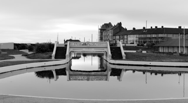
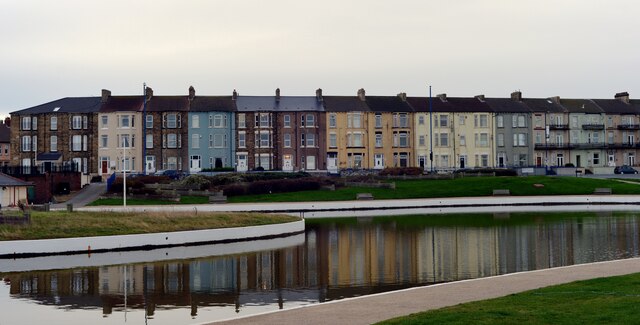
East Flashes is a small island located off the coast of Yorkshire, England. Situated in the North Sea, it is part of the East Riding of Yorkshire and is known for its picturesque landscapes and unique wildlife.

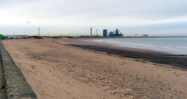
Covering an area of approximately 2 square miles, East Flashes is a predominantly flat island with a diverse range of habitats. The island is home to a variety of bird species, making it a popular destination for birdwatching enthusiasts. Visitors can spot migratory birds, such as redshanks, curlews, and lapwings, as well as resident species like terns and gulls.

The island is also known for its extensive salt marshes, which provide an important breeding ground for various marine organisms. These marshes support a rich ecosystem, including an array of plants and invertebrates, making it an area of interest for ecologists and nature lovers.

In addition to its natural beauty, East Flashes offers visitors the opportunity to explore its historical sites. The island boasts the remains of a medieval church, providing a glimpse into its past. Additionally, remnants of World War II structures, including pillboxes and gun emplacements, can be found scattered across the island, serving as a reminder of its role in the country's defense.

Access to East Flashes is primarily by boat, with limited facilities available on the island itself. Visitors are advised to check the tides before planning a trip to ensure a safe and enjoyable experience. Overall, East Flashes offers a unique blend of natural beauty, wildlife, and historical intrigue, making it a hidden gem for those seeking a tranquil escape in Yorkshire.

If you have any feedback on the listing, please let us know in the comments section below.

East Flashes Images

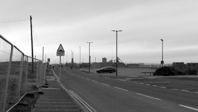
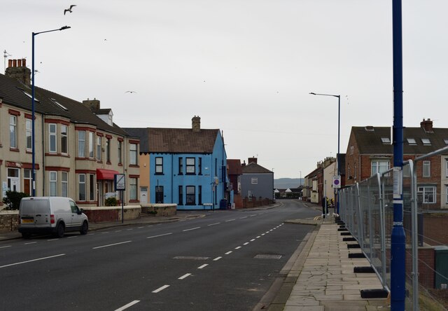
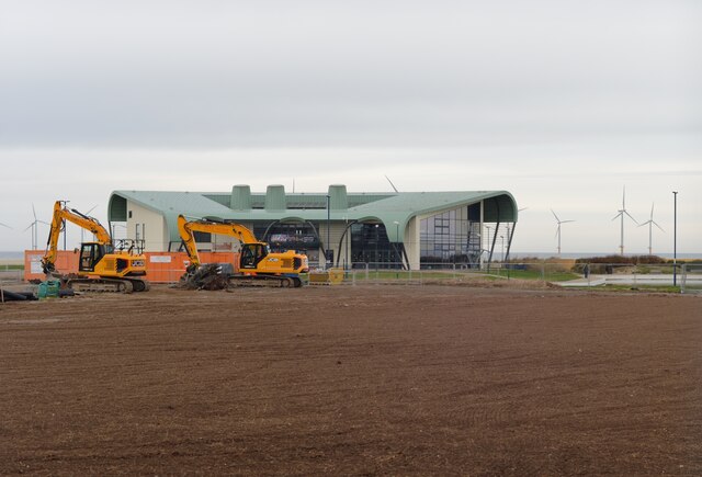
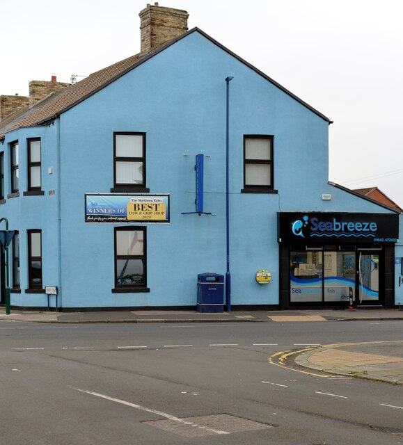
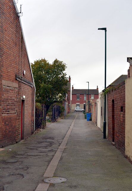
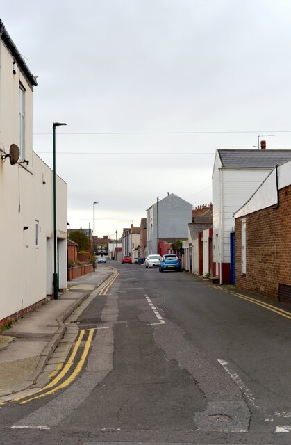
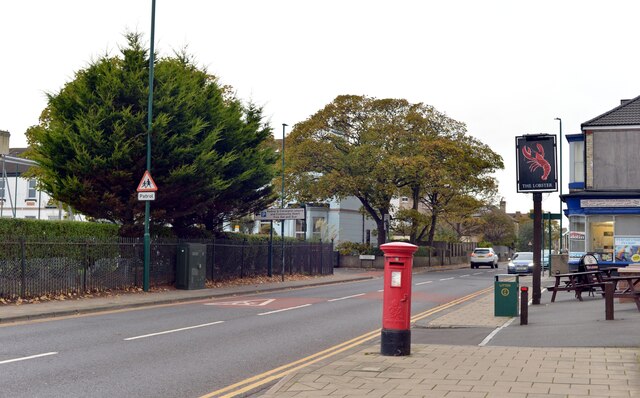
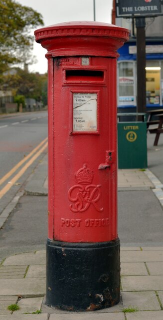
Images are sourced within 2km of 54.617963/-1.0493642 or Grid Reference NZ6125. Thanks to Geograph Open Source API. All images are credited.

Redcar Boating Lake House in Newcomen Terrace.
Redcar Boating Lake
House in Newcomen Terrace.
Regency Mansions, Redcar
The beach, Redcar
The beach, Redcar
Looking along a pipe towards Teesside Wind Farm, Redcar
The beach, Redcar
The beach, Redcar
Coatham Boating Lake, Redcar
Newcomen Terrace seen across Coatham Boating Lake, Redcar
Tuned In! recreation centre seen from Majuba Road, Redcar
Majuba Road, Redcar
Majuba Road, Redcar
Newcomen Terrace, Redcar
Development alongside Queen Street, Redcar
Seabreeze fish and chip shop, Lobster Road, Redcar
An alley off Lobster Road, Redcar
Peirson Street, Redcar
Coatham Road, Redcar A close-up of the post box can be seen in <a href="https://www.geograph.org.uk/photo/7342254">NZ5925 : Post box, Coatham Road, Redcar</a>.
Coatham Road, Redcar
A close-up of the post box can be seen in NZ5925 : Post box, Coatham Road, Redcar.
Post box, Coatham Road, Redcar This post box can be seen in context in <a href="https://www.geograph.org.uk/photo/7342253">NZ5925 : Coatham Road, Redcar</a>.
Post box, Coatham Road, Redcar
This post box can be seen in context in NZ5925 : Coatham Road, Redcar.
Nelson Terrace, Redcar
Redcar Cricket Club seen from Nelson Terrace, Redcar
Show me another place!

East Flashes is located at Grid Ref: NZ6125 (Lat: 54.617963, Lng: -1.0493642)

Division: North Riding

Unitary Authority: Redcar and Cleveland

Police Authority: Cleveland

What 3 Words

///brave.arts.object. Near Redcar, North Yorkshire

Related Wikis

Redcar Rocks

Redcar Rocks (grid reference NZ612203) is a 31.1 hectare biological and geological Site of Special Scientific Interest in North Yorkshire, England notified...

Redcar Pier

Redcar Pier was a Victorian pleasure and landing pier constructed on The Esplanade in the seaside town of Redcar on the north east coast of Yorkshire,...

St Peter's Church, Redcar

St Peter's Church is an Anglican parish church in Redcar, Redcar and Cleveland, North Yorkshire, England. It was designed in 1829 by Ignatius Bonomi from...
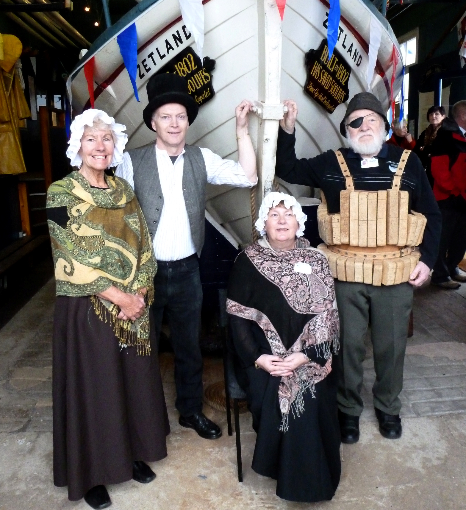
Zetland (lifeboat)

The Zetland is the oldest surviving lifeboat in the world. It is currently in a free museum in Redcar, England. The name Zetland comes from the local Lord...

Redcar Lifeboat Station

Redcar Lifeboat Station is a Royal National Lifeboat Institution (RNLI) lifeboat station based in the town of Redcar in North Yorkshire, England. The station...

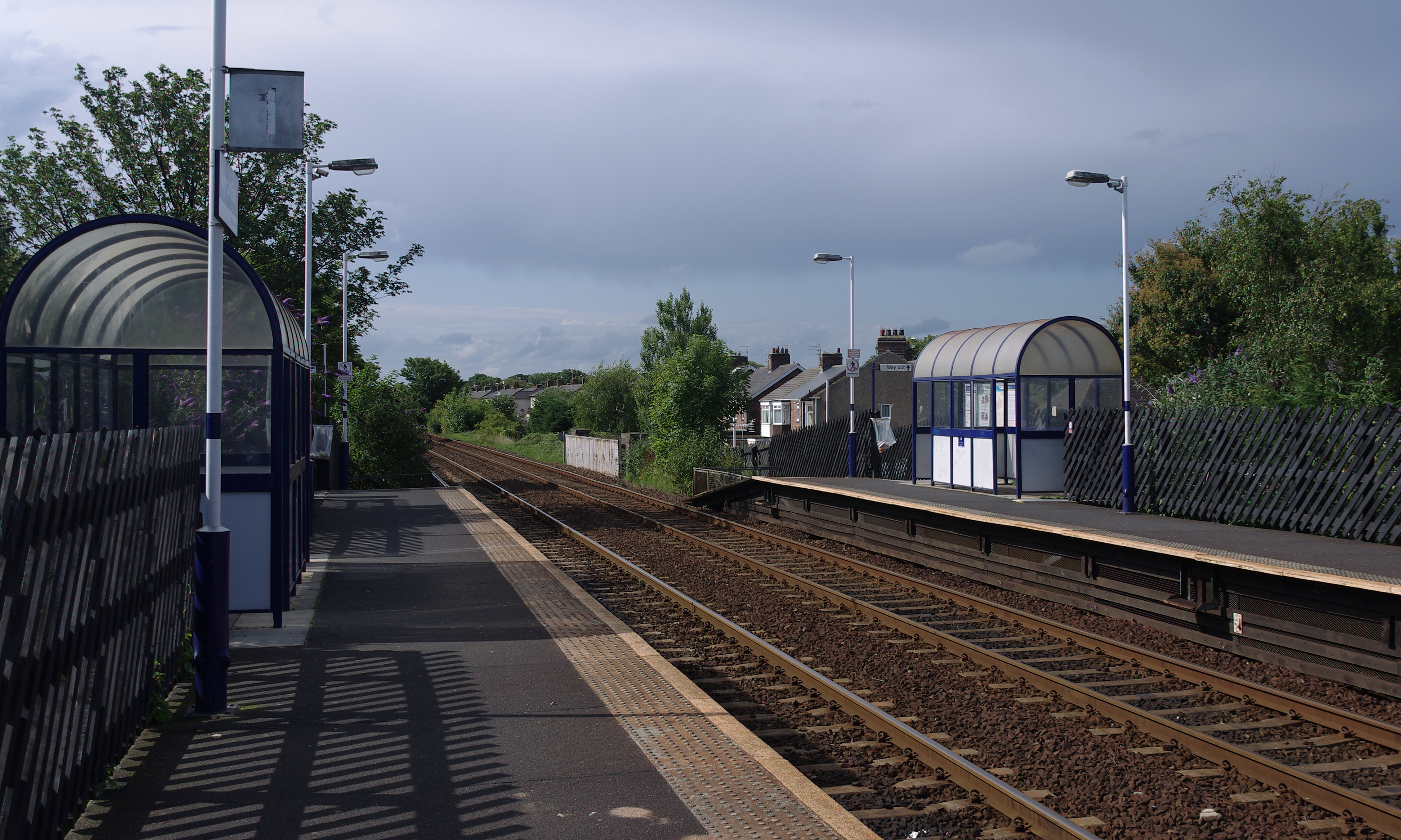
Redcar East railway station

Redcar East is a railway station on the Tees Valley Line, which runs between Bishop Auckland and Saltburn via Darlington. The station, situated 8 miles...
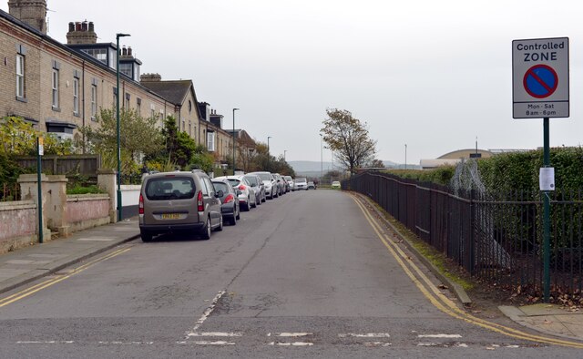
Redcar

Redcar is a seaside town on the Yorkshire Coast in the Redcar and Cleveland unitary authority in the ceremonial county of North Yorkshire, England. It...

Redcar Central railway station

Redcar Central is a railway station on the Tees Valley Line, which runs between Bishop Auckland and Saltburn via Darlington. The station, situated 7 miles...

Nearby Amenities

Located within 500m of 54.617963,-1.0493642
Source: OS7
Lat/Long: 54.6135929/-1.0490258
Source: OS7
Lat/Long: 54.6140085/-1.0495247
Source: OS7
Lat/Long: 54.6144757/-1.0501673
Source: OS7
Lat/Long: 54.6153328/-1.0512898
Source: OS7
Lat/Long: 54.6160078/-1.0526157
Source: OS7
Lat/Long: 54.6163383/-1.0532969
Source: OS7
Lat/Long: 54.6169403/-1.0552389
Source: OS7
Lat/Long: 54.6173236/-1.0564598
Crossing
Crossing: unmarked
Crossing Island: yes
Tactile Paving: yes
Lat/Long: 54.6151404/-1.0526432
Bench
Backrest: yes
Direction: 235
Lat/Long: 54.6136401/-1.0506661
Bench
Backrest: yes
Direction: 235
Lat/Long: 54.6145503/-1.0517521
Waste Basket
Lat/Long: 54.6148501/-1.0528689
Waste Basket
Lat/Long: 54.6145511/-1.0528488
Waste Basket
Lat/Long: 54.6138078/-1.0515016
Bench
Backrest: yes
Direction: 175
Lat/Long: 54.6144644/-1.0532236
Bench
Backrest: yes
Direction: 85
Lat/Long: 54.6143262/-1.0534274
Bench
Backrest: yes
Direction: 85
Lat/Long: 54.6142439/-1.0534087
Bench
Backrest: yes
Direction: 235
Lat/Long: 54.6142757/-1.0519231
Waste Basket
Lat/Long: 54.6143836/-1.0520975
Bench
Backrest: yes
Direction: 235
Lat/Long: 54.6145319/-1.0522222
Bench
Backrest: yes
Direction: 270
Lat/Long: 54.6143535/-1.0523979
Waste Basket
Lat/Long: 54.6139187/-1.0524459
Information: map
Tourism: information
Lat/Long: 54.6149143/-1.0529823
Waste Basket
Waste: dog_excrement
Lat/Long: 54.6135892/-1.0499859
Bus Stop
Zetland Park
Bench: yes
Bus: yes
Local Ref: A
Naptan AtcoCode: 078074857A
Naptan NaptanCode: recgpmg
Public Transport: platform
Shelter: yes
Lat/Long: 54.6147821/-1.0523516
Bus Stop
Bench: yes
Bus: yes
Kerb: raised
Naptan AtcoCode: 078074857B
Naptan NaptanCode: recgpmj
Public Transport: platform
Shelter: yes
Lat/Long: 54.6145797/-1.0518393
Waste Basket
Lat/Long: 54.6147506/-1.0523152
Bench
Backrest: yes
Direction: 55
Lat/Long: 54.6147203/-1.052326
Waste Basket
Lat/Long: 54.6145368/-1.0517929
Waste Basket
Lat/Long: 54.6153267/-1.0520694
Waste Basket
Lat/Long: 54.6155831/-1.0533511
Bench
Backrest: yes
Direction: 25
Lat/Long: 54.6155734/-1.0533243
Bench
Backrest: yes
Direction: 25
Lat/Long: 54.615592/-1.053382
Waste Basket
Lat/Long: 54.6157566/-1.0531681
Bench
Backrest: yes
Direction: 240
Lat/Long: 54.6157733/-1.0531808
Touchstone
Artist Name: Graham Johnson
Artwork Type: sculpture
Tourism: artwork
Wikimedia Commons: File:Sculpture at the Zetland Park roundabout - geograph.org.uk - 2384650.jpg
Lat/Long: 54.6156266/-1.0531835
Street Lamp
Lat/Long: 54.615003/-1.0549377
Street Lamp
Lat/Long: 54.6151007/-1.0547647
Bubbleid: 1037880409
Man Made: sewer_vent
Manufacturer: Needham Stockport England
Manufacturer Wikidata: Q120926447
Lat/Long: 54.6151063/-1.0547309
Fishermans Square Garage
Shop: car_repair
Lat/Long: 54.6161211/-1.0556868
Redcar rocks and wrecks
Board Type: history
Information: board
Mapillary: 1011688042943764
Tourism: information
Lat/Long: 54.6158409/-1.052812
Crossing
Crossing: unmarked
Crossing Island: no
Tactile Paving: yes
Lat/Long: 54.615762/-1.0529737
Barrier: bollard
Bicycle: yes
Foot: yes
Lat/Long: 54.6158442/-1.05274
Bench
Backrest: yes
Lat/Long: 54.6160867/-1.0532123
Bench
Backrest: yes
Lat/Long: 54.6161954/-1.0532096
Bench
Backrest: yes
Lat/Long: 54.6162637/-1.0532056
Lime Road Slipway
Board Type: emergency
Information: board
Ref: RD28
Tourism: information
Lat/Long: 54.6161993/-1.0535828
Life Ring
Emergency: life_ring
Lat/Long: 54.6161977/-1.05363
Bench
Backrest: yes
Lat/Long: 54.6171164/-1.0564336
Toilets
Zetland Park Public Toilets
Fee: no
Opening Hours: Apr-Sep: Mo-Su 09:00-19:00; Oct-Mar: Mo-Su 09:00-16:00; Dec 25-26 off
Lat/Long: 54.6139021/-1.0515144
The data included in this document is from www.openstreetmap.org. The data is made available under ODbL.

Have you been to East Flashes?

Leave your review of East Flashes below (or comments, questions and feedback).