Hill Pill

Sea, Estuary, Creek in Gloucestershire

England

Hill Pill

View of River Severn from Windbound Inn The river and mud flats are in front of the former inn, now not open to the public, at Shepperdine, though the rest of the village is nearly a mile inland.
View of River Severn from Windbound Inn Credit: Anita Bailey

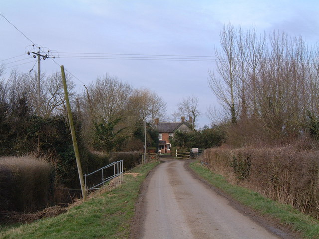
Hill Pill is a picturesque village located in Gloucestershire, England, known for its stunning coastal scenery and tranquil atmosphere. Situated on the banks of the River Severn, it offers a unique blend of sea, estuary, and creek landscapes that attract visitors from near and far.

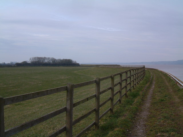
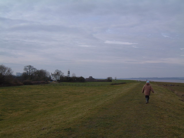
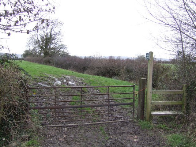
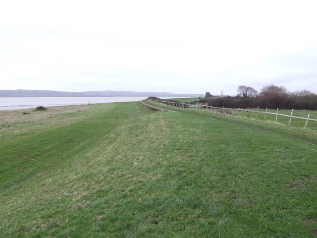
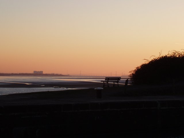
The village is nestled within a lush green valley, surrounded by rolling hills and meandering waterways. The River Severn, one of the longest rivers in the United Kingdom, flows past Hill Pill, providing a breathtaking backdrop to the village. The river's estuary, where it meets the sea, creates a dynamic landscape with ever-changing tides and mesmerizing views.

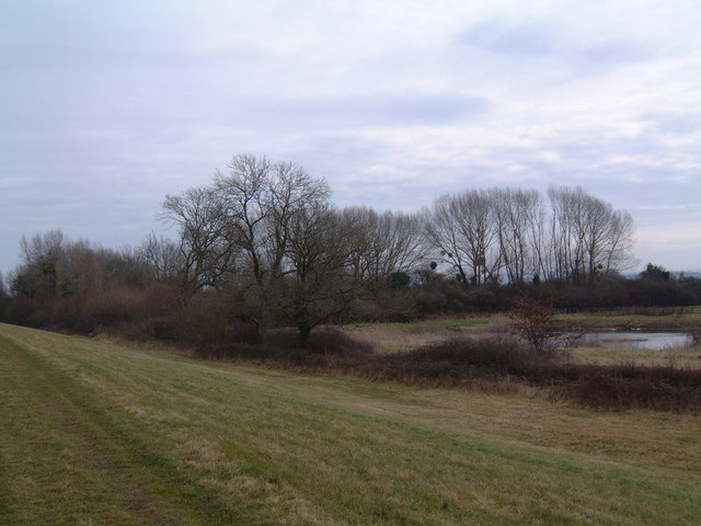
Hill Pill is particularly renowned for its charming creek, which serves as a natural harbor for small boats and yachts. The creek is a haven for wildlife, attracting various species of birds, including herons and swans. It also offers a peaceful spot for fishing enthusiasts to cast their lines and enjoy the serenity of the surroundings.

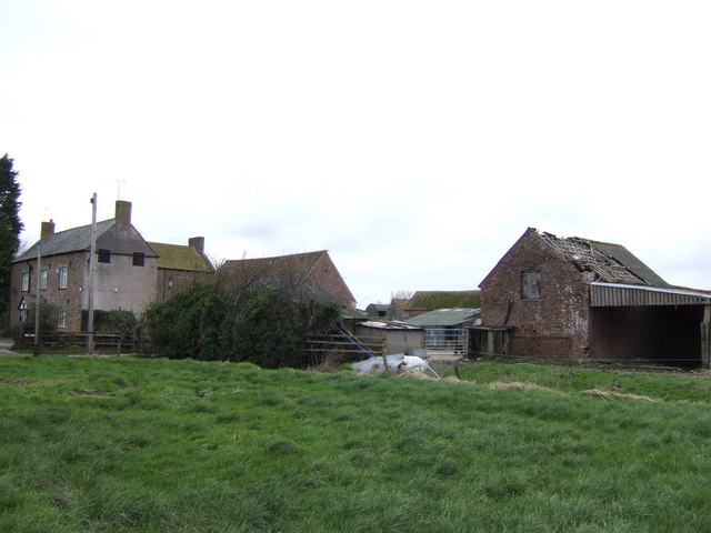
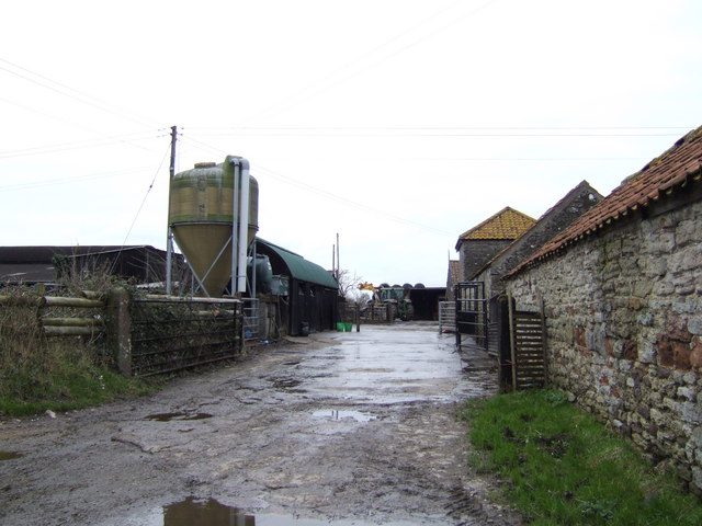
The village itself exudes a timeless charm, with quaint cottages and traditional stone buildings lining its narrow streets. The local community is welcoming and friendly, with a strong sense of community spirit. Visitors can explore the village's historic landmarks, such as the medieval church and the old mill, which add to its cultural significance.

Whether you are seeking a peaceful retreat, a place to indulge in watersports, or simply a scenic spot to unwind, Hill Pill in Gloucestershire offers a delightful blend of sea, estuary, and creek landscapes that will leave you captivated.

If you have any feedback on the listing, please let us know in the comments section below.

Hill Pill Images

Images are sourced within 2km of 51.672895/-2.5419067 or Grid Reference ST6297. Thanks to Geograph Open Source API. All images are credited.

View of River Severn from Windbound Inn The river and mud flats are in front of the former inn, now not open to the public, at Shepperdine, though the rest of the village is nearly a mile inland.
View of River Severn from Windbound Inn
The river and mud flats are in front of the former inn, now not open to the public, at Shepperdine, though the rest of the village is nearly a mile inland.
Severn Lane, Berkeley Severn Lane is a no-through-road, ending here at Severn House Farm. Looking west along the final few yards of public road, the River Severn is invisible behind the farmhouse.
Severn Lane, Berkeley
Severn Lane is a no-through-road, ending here at Severn House Farm. Looking west along the final few yards of public road, the River Severn is invisible behind the farmhouse.
The Severn Way Looking south-west along the Severn Way, on the small section of land in this square.
The Severn Way
Looking south-west along the Severn Way, on the small section of land in this square.
From the County boundary Looking north-east from the boundary between Gloucestershire (in this picture) and South Gloucestershire. The wood and pond are beside the River Severn (to the north-west), and may have been constructed for wildfowl shooting.
From the County boundary
Looking north-east from the boundary between Gloucestershire (in this picture) and South Gloucestershire. The wood and pond are beside the River Severn (to the north-west), and may have been constructed for wildfowl shooting.
Sluice Gate Looking east from the riverbank path. This sluice gate was constructed to prevent the high tides of the River Severn from flooding the farmland of the Vale of Berkeley.
Sluice Gate
Looking east from the riverbank path. This sluice gate was constructed to prevent the high tides of the River Severn from flooding the farmland of the Vale of Berkeley.
Rhine Mouth Looking north-west from beside the sluice (see other photo for this square). The rhine (a local name for drainage streams; pronounced 'reen') enters the River Severn at low tide. The Severn fills 3/4 of this grid square.
Rhine Mouth
Looking north-west from beside the sluice (see other photo for this square). The rhine (a local name for drainage streams; pronounced 'reen') enters the River Severn at low tide. The Severn fills 3/4 of this grid square.
White House light Beside the aptly-named White House stand two navigational lights to guide shipping on the River Severn. This photo was taken, looking south-west, on the Severn Way at the extreme north-eastern edge of the square.
White House light
Beside the aptly-named White House stand two navigational lights to guide shipping on the River Severn. This photo was taken, looking south-west, on the Severn Way at the extreme north-eastern edge of the square.
Barn and trailer This scene is just off Tranton Lane
Barn and trailer
This scene is just off Tranton Lane
Dayhouse Farm At the end of Tranton Lane.
Dayhouse Farm
At the end of Tranton Lane.
Footpath to the Severn This leads across pasture land from the bend on Nupdown Road to the White House lighthouse on the southern bank of the Severn estuary.
Footpath to the Severn
This leads across pasture land from the bend on Nupdown Road to the White House lighthouse on the southern bank of the Severn estuary.
Manor Farm The rich pastures of the Vale of Berkeley support a number of dairy farms.
Manor Farm
The rich pastures of the Vale of Berkeley support a number of dairy farms.
Severn bank The southern bank of the Severn estuary at The Windbound which is a residential home for twelve adults with learning disabilities.
In the far distance, just visible, are the two Severn bridges.
Severn bank
The southern bank of the Severn estuary at The Windbound which is a residential home for twelve adults with learning disabilities. In the far distance, just visible, are the two Severn bridges.
Severn bank looking north The Severn estuary begins to narrow here, with rocks off the southern bank.
Chapel House with its lighthouse is just visible. The hills opposite are those rising north of Lydney in the Forest of Dean.
Severn bank looking north
The Severn estuary begins to narrow here, with rocks off the southern bank. Chapel House with its lighthouse is just visible. The hills opposite are those rising north of Lydney in the Forest of Dean.
Across the Severn The view directly across the estuary from the Windbound. The rocky outcrops in the mud offshore are called the Ledges. The opposite side rises to hills north of Chepstow.
Across the Severn
The view directly across the estuary from the Windbound. The rocky outcrops in the mud offshore are called the Ledges. The opposite side rises to hills north of Chepstow.
Old stone-built farmhouse at Shepperdine.
Severn Sands, Bridges and Oldbury from Lydney Harbour
Pantiled roof by Shepperdine Road This is the building on the right in <a href="https://www.geograph.org.uk/photo/314762">ST6195 : Old stone-built farmhouse at Shepperdine.</a> seen from the opposite direction. A rhine by the road is filled with common reed (Phragmites australis).
Pantiled roof by Shepperdine Road
This is the building on the right in ST6195 : Old stone-built farmhouse at Shepperdine. seen from the opposite direction. A rhine by the road is filled with common reed (Phragmites australis).
Windbound, landward side The Windbound Centre is a residential home for people with learning difficulties. It sits below the flood bank by the Severn at the end of Shepperdine Road.
Windbound, landward side
The Windbound Centre is a residential home for people with learning difficulties. It sits below the flood bank by the Severn at the end of Shepperdine Road.
Show me another place!

Hill Pill is located at Grid Ref: ST6297 (Lat: 51.672895, Lng: -2.5419067)

Unitary Authority: South Gloucestershire

Police Authority: Avon and Somerset

What 3 Words

///mentioned.seating.land. Near Hill, Gloucestershire

Nearby Locations

Hills Flats Hill Pill

Related Wikis

Shepperdine

Shepperdine is a small village in the parish of Oldbury-on-Severn in South Gloucestershire, England, with a border with Stroud District. The land lies...

Hill, Gloucestershire

Hill is a village and civil parish in South Gloucestershire, England, midway between the towns of Thornbury in South Gloucestershire and Berkeley in Gloucestershire...

Oldbury nuclear power station

Oldbury nuclear power station is a Magnox nuclear power station undergoing decommissioning. It is located on the south bank of the River Severn close...

Oldbury Naite

Oldbury Naite is a village in South Gloucestershire, England. == References ==

Nearby Amenities

Located within 500m of 51.672895,-2.5419067
Historic: ruins
Lat/Long: 51.6727515/-2.5408665
The data included in this document is from www.openstreetmap.org. The data is made available under ODbL.

Have you been to Hill Pill?

Leave your review of Hill Pill below (or comments, questions and feedback).