Cone Pill
Sea, Estuary, Creek in Gloucestershire Forest of Dean
England
Cone Pill
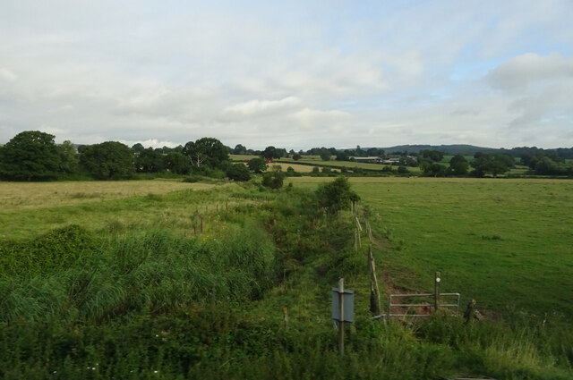
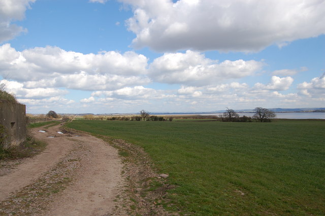
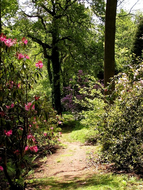
Cone Pill is a small coastal village located in Gloucestershire, England. Situated on the banks of the River Severn, it is a picturesque area with a unique blend of sea, estuary, and creek. The village is known for its stunning natural beauty and tranquil atmosphere.
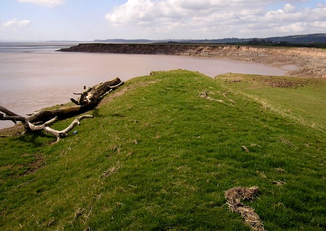
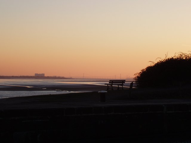
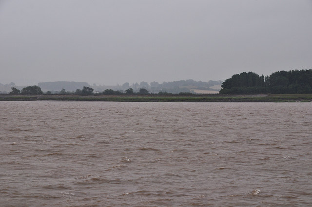
The sea is a prominent feature of Cone Pill, with its coastline stretching along the village. The sandy beaches offer an ideal spot for relaxation and enjoyment, attracting locals and tourists alike. The sea also provides opportunities for various water activities such as swimming, fishing, and sailing.
The estuary of the River Severn adds to the charm of Cone Pill. As the river meets the sea, it creates a breathtaking landscape. The estuary is a haven for wildlife, with numerous species of birds, fish, and seals inhabiting the area. Birdwatchers flock to Cone Pill to observe the diverse bird population, including wading birds, ducks, and geese.
Additionally, Cone Pill boasts a picturesque creek that winds its way through the village. The creek is a tranquil waterway, offering a peaceful retreat for boating enthusiasts and nature lovers. It is also home to a variety of plant and animal life, providing a glimpse into the rich biodiversity of the region.
Overall, Cone Pill in Gloucestershire offers a unique blend of sea, estuary, and creek, making it a haven for nature lovers and those seeking a peaceful coastal retreat. Its natural beauty and diverse wildlife make it a must-visit destination for anyone looking to immerse themselves in the wonders of the British coastline.
If you have any feedback on the listing, please let us know in the comments section below.
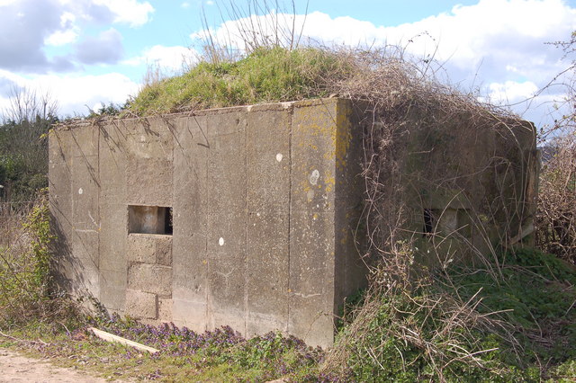
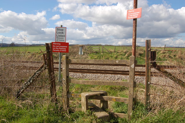
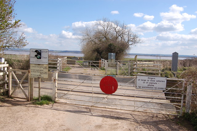
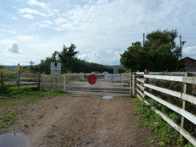
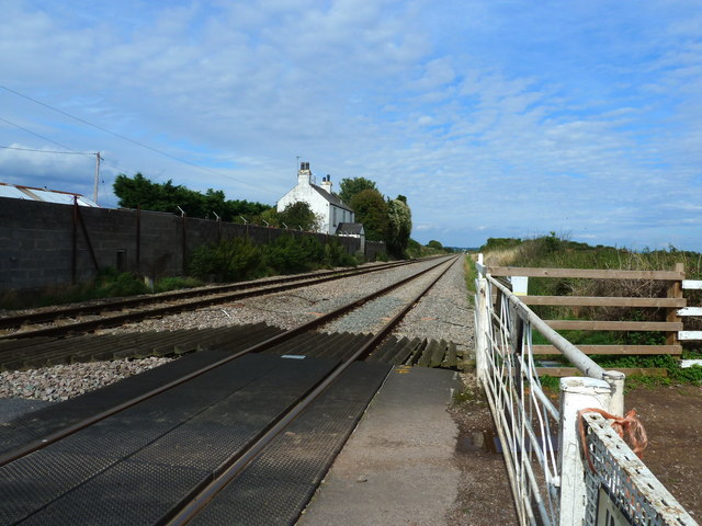
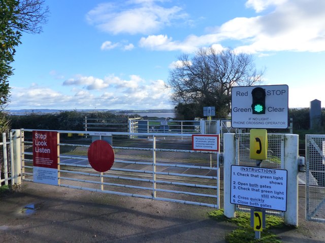
Cone Pill Images
Images are sourced within 2km of 51.687778/-2.5660399 or Grid Reference ST6098. Thanks to Geograph Open Source API. All images are credited.


Cone Pill is located at Grid Ref: ST6098 (Lat: 51.687778, Lng: -2.5660399)
Administrative County: Gloucestershire
District: Forest of Dean
Police Authority: Gloucestershire
What 3 Words
///chucked.firms.outsmart. Near Lydney, Gloucestershire
Nearby Locations
Related Wikis

Alvington, Gloucestershire
Alvington is a village and civil parish in the Forest of Dean in Gloucestershire, England, situated on the A48 road, six miles north-east of Chepstow in...

Woolaston
Woolaston is a village and civil parish in the Forest of Dean district of Gloucestershire in South West England. It lies on the north side of the Severn...

Aylburton
Aylburton is a village and civil parish in the Forest of Dean district of Gloucestershire, England, on the A48 road about two miles south-west of Lydney...
Lydney Park
Lydney Park is a 17th-century country estate surrounding Lydney House, located at Lydney in the Forest of Dean district in Gloucestershire, England. It...

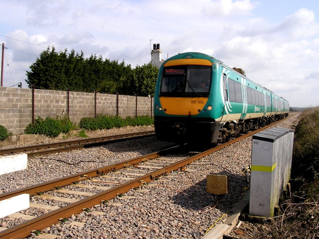
Lydney railway station
Lydney railway station is a railway station serving the town of Lydney in Gloucestershire, England. It is located on the Gloucester-Newport line, 133 miles...
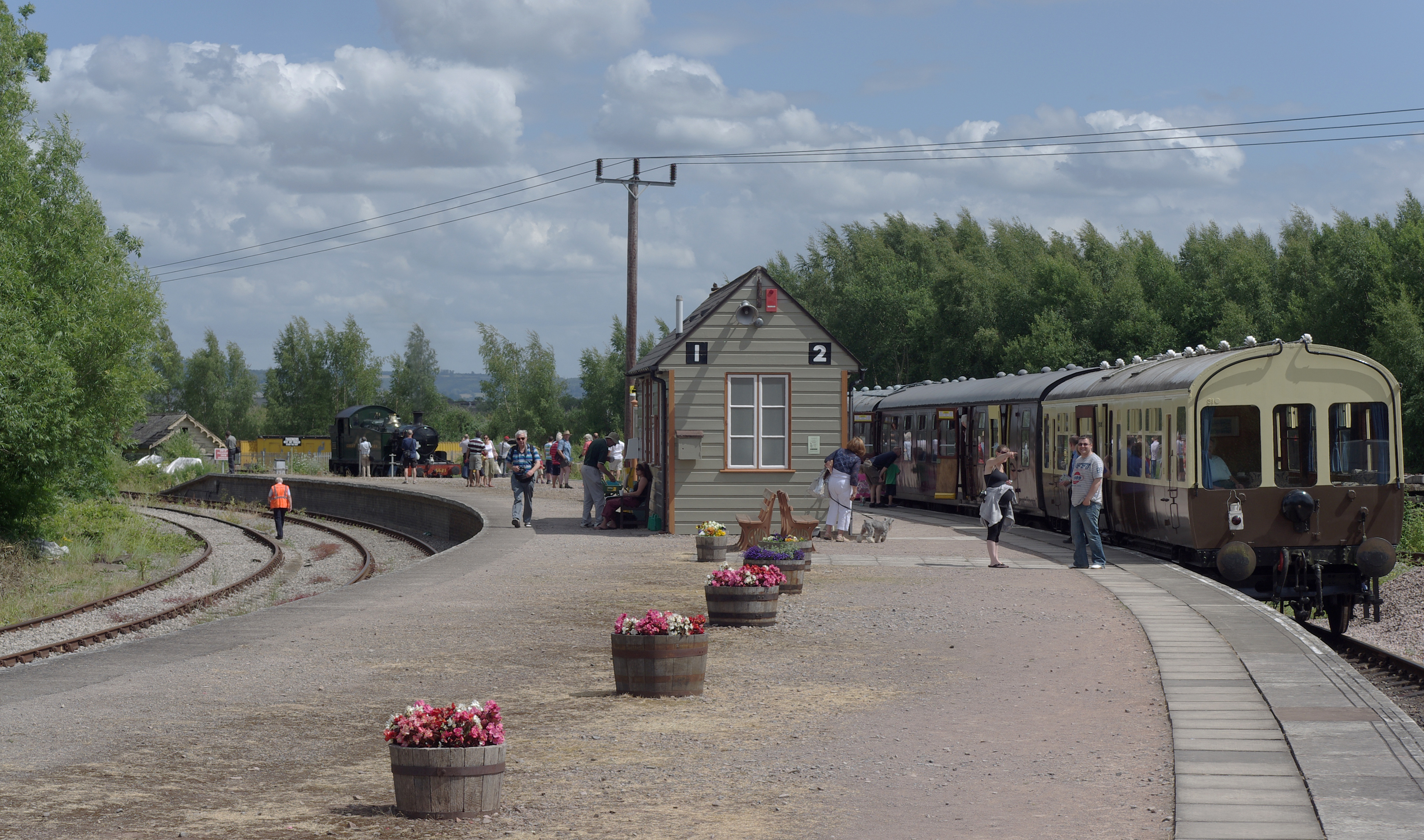
Lydney Junction railway station
Lydney Junction railway station is a railway station near Lydney in Gloucestershire. The station is now the southern terminus of the Dean Forest Railway...

The Dean Academy
The Dean Academy (formerly Whitecross School) is a mixed secondary school located in Lydney in the English county of Gloucestershire. == Location == The...

St Mary's Halt railway station
St. Mary's Halt was a small railway station halt on the Dean Forest Railway. It served the local park and lake, both near the station, and was the original...
Nearby Amenities
Located within 500m of 51.687778,-2.5660399Have you been to Cone Pill?
Leave your review of Cone Pill below (or comments, questions and feedback).