Collister Pill
Sea, Estuary, Creek in Monmouthshire
Wales
Collister Pill

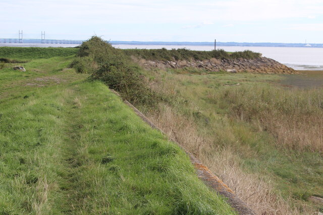
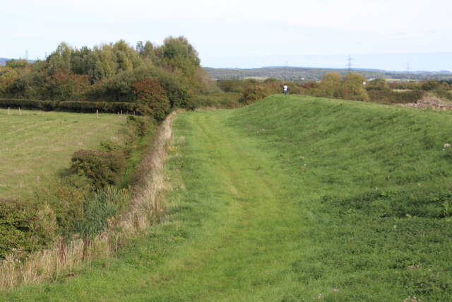
Collister Pill is a picturesque water body located in Monmouthshire, Wales. It is a combination of a sea, estuary, and creek, offering a diverse range of natural features and rich biodiversity. The pill is situated on the eastern bank of the River Usk, near the village of Llanllywel.
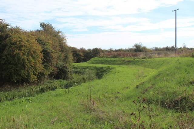
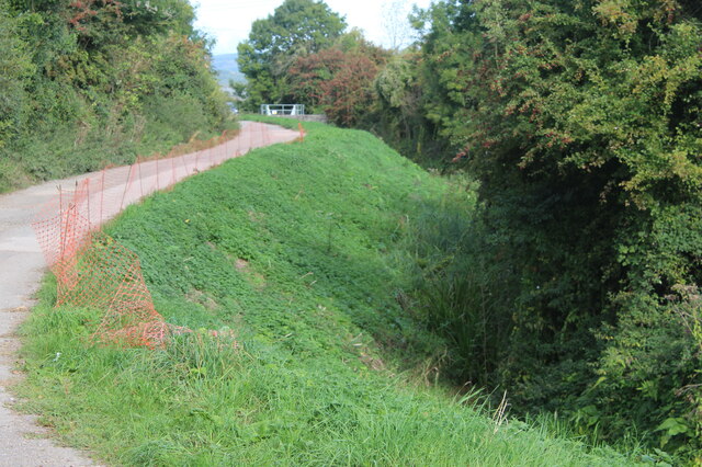
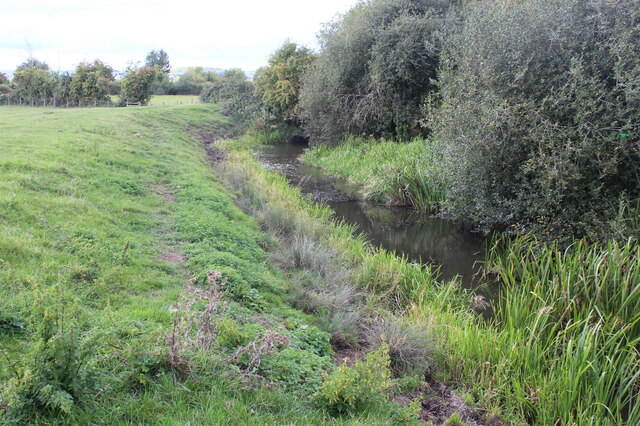
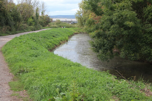
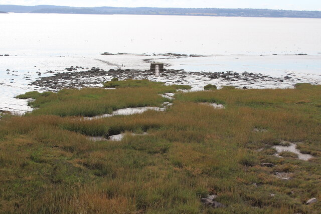
As a sea, estuary, and creek, Collister Pill experiences a unique tidal pattern. During high tide, the water levels rise, creating a tranquil estuary environment. The incoming tide brings in a variety of marine life, making it an ideal spot for fishing enthusiasts and birdwatchers. The creek, which branches off from the estuary, meanders through the surrounding marshland, providing a habitat for various species of aquatic plants and animals.
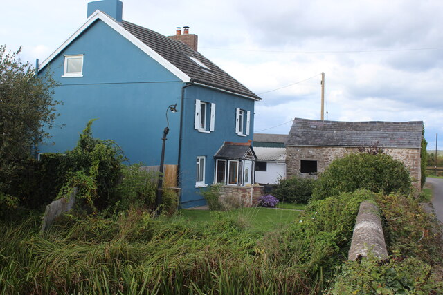
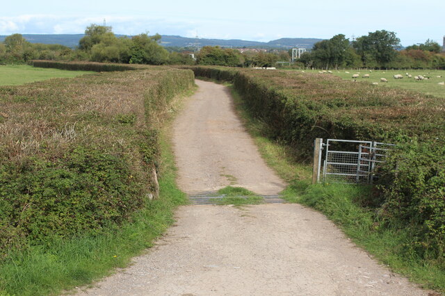
Collister Pill is also known for its scenic beauty. The surrounding landscape is characterized by lush greenery, rolling hills, and stunning views of the River Usk. The pill is accessible via footpaths and offers a peaceful retreat for nature lovers and hikers. Visitors can enjoy leisurely walks along the water's edge, taking in the serene atmosphere and observing the local wildlife.
The biodiversity of Collister Pill is impressive, with numerous bird species frequenting the area. It serves as an important breeding ground and feeding site for waterfowl, waders, and other water-dependent birds. Common sightings include herons, kingfishers, swans, and various duck species.
Overall, Collister Pill in Monmouthshire is a captivating blend of sea, estuary, and creek, showcasing the beauty of Wales' natural landscape and providing a haven for wildlife and outdoor enthusiasts.
If you have any feedback on the listing, please let us know in the comments section below.
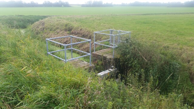
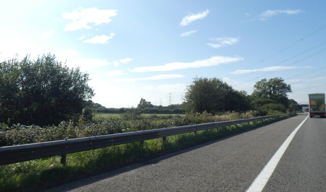
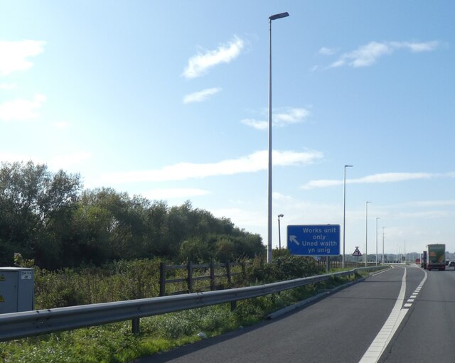
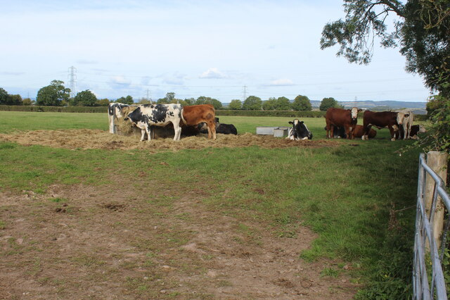
Collister Pill Images
Images are sourced within 2km of 51.566275/-2.7904321 or Grid Reference ST4585. Thanks to Geograph Open Source API. All images are credited.
Collister Pill is located at Grid Ref: ST4585 (Lat: 51.566275, Lng: -2.7904321)
Unitary Authority: Monmouthshire
Police Authority: Gwent
What 3 Words
///reckoned.swan.amended. Near Undy, Monmouthshire
Nearby Locations
Related Wikis
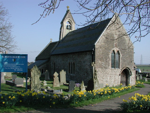
St Mary's Church, Undy
St Mary's Church, Undy is located in the village of Undy, in Monmouthshire, Wales. == History == The church dates to around the twelfth century. The pointed...

St Mary's Church, Rogiet
The Church of St Mary is the parish church of Rogiet, a small rural village on the Caldicot Levels, 8 miles west of Chepstow, Monmouthshire, Wales. It...

Undy A.F.C.
Undy Athletic Football Club is a Welsh association football club based in the village of Undy, Monmouthshire. The club plays in the Ardal South East league...

Severn Tunnel Junction railway station
Severn Tunnel Junction railway station (Welsh: Cyffordd Twnnel Hafren) is a minor station on the western side of the Severn Tunnel in the village of Rogiet...
Nearby Amenities
Located within 500m of 51.566275,-2.7904321Have you been to Collister Pill?
Leave your review of Collister Pill below (or comments, questions and feedback).