Caolas Bheàrnaraigh

Sea, Estuary, Creek in Inverness-shire

Scotland

Caolas Bheàrnaraigh

Berneray/Bearnaraigh West Beach
Berneray/Bearnaraigh West Beach Credit: Sandy Gerrard

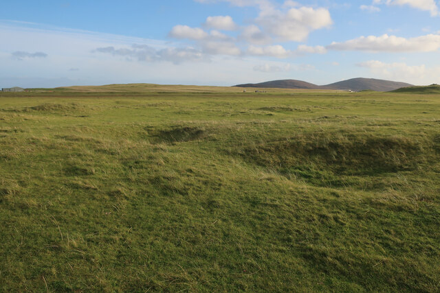
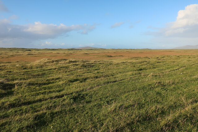
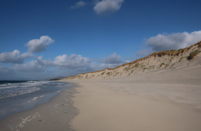
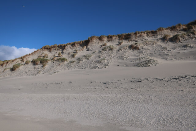
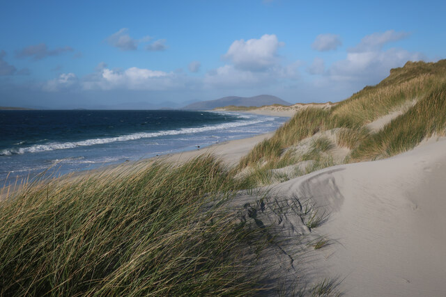
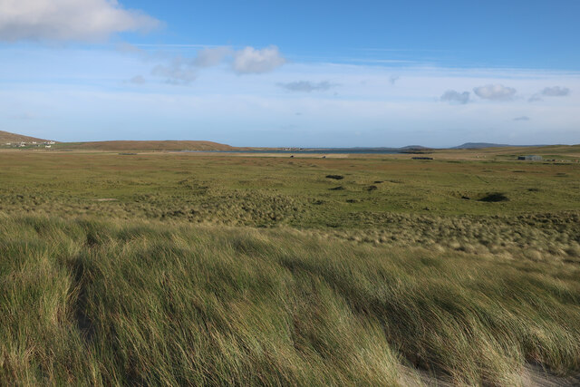
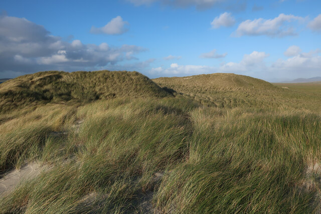
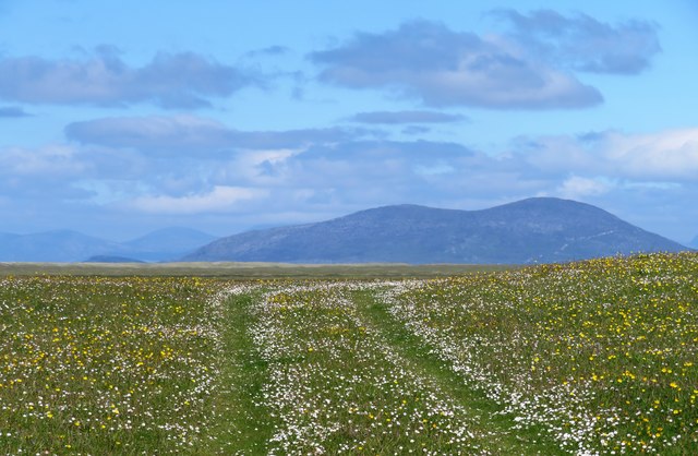
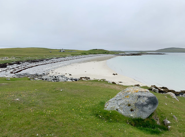
Caolas Bheàrnaraigh is a picturesque sea inlet located in Inverness-shire, Scotland. Nestled between towering cliffs and rolling hills, this stunning estuary offers a mesmerizing view of the surrounding natural beauty.

The sea inlet is known for its crystal-clear waters, which glisten under the sun, creating a shimmering effect. The waters are home to a diverse range of marine life, including fish, seals, and various species of seabirds.

The creek, which runs through Caolas Bheàrnaraigh, provides a tranquil spot for visitors to enjoy the peacefulness of the area. Surrounded by lush greenery, the creek adds to the overall charm of the estuary. It is a popular spot for nature enthusiasts, who can often be seen exploring the creek's banks, observing the local flora and fauna.

In addition to its natural beauty, Caolas Bheàrnaraigh also boasts historical significance. The area was once inhabited by ancient communities, and remnants of their existence can still be found in the form of archaeological sites and ruins. These historical landmarks offer a glimpse into the past and provide valuable insight into the region's rich cultural heritage.

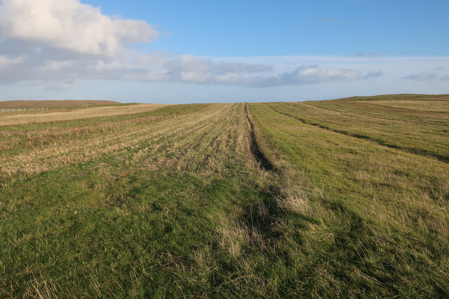
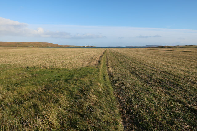
The estuary is easily accessible by both land and sea, with several walking trails and boat tours available for visitors. Whether it's admiring the breathtaking views, exploring the creek, or delving into the area's history, Caolas Bheàrnaraigh offers a truly unforgettable experience for all who visit.

If you have any feedback on the listing, please let us know in the comments section below.

Caolas Bheàrnaraigh Images

Images are sourced within 2km of 57.700389/-7.1943832 or Grid Reference NF9079. Thanks to Geograph Open Source API. All images are credited.

Berneray/Bearnaraigh West Beach
Rocks and sand at Rubha Bhoisnis
Machair on Berneray Sandy grassland behind West Beach.
Machair on Berneray
Sandy grassland behind West Beach.
Stubble field on Berneray
Stubble fields, Berneray
Machair on Berneray
Machair on Berneray
West Beach, Berneray
Dune front, Berneray The dunes in this section of the beach are eroding back slightly, but others stretches are growing as the sand moves around.
Dune front, Berneray
The dunes in this section of the beach are eroding back slightly, but others stretches are growing as the sand moves around.
West Beach, Berneray
Machair behind Berneray West Beach Fairly flat sandy grassland behind the dune ridge.
Machair behind Berneray West Beach
Fairly flat sandy grassland behind the dune ridge.
Sand dunes by Berneray West Beach
Berneray West Beach Not quite deserted.
Berneray West Beach
Not quite deserted.
Sandy shores on Berneray One of the island's smaller beaches facing south towards North Uist and with the tiny island of Eilean an Dunain at the far end.
Sandy shores on Berneray
One of the island's smaller beaches facing south towards North Uist and with the tiny island of Eilean an Dunain at the far end.
Oystercatchers on the beach You are never far away from the sight or loud piping of oystercatchers on the Western Isles. This view is south towards the small island of Lingeigh [to the right] with the hills of North Uist beyond.
Oystercatchers on the beach
You are never far away from the sight or loud piping of oystercatchers on the Western Isles. This view is south towards the small island of Lingeigh [to the right] with the hills of North Uist beyond.
Track across the machair The machair on Berneray is as fine as anywhere along the Western Isles. The colours are mostly white and yellow from daisies, clover and buttercups, whilst the clover fills the air with a sweet perfume.
Track across the machair
The machair on Berneray is as fine as anywhere along the Western Isles. The colours are mostly white and yellow from daisies, clover and buttercups, whilst the clover fills the air with a sweet perfume.
Curious lumps and bumps above the shore Initial thoughts were that these shallow impressions in the grass just above the shoreline were similar to hollows seen on the coastline of Orkney where boats were stored away from the wind and waves, but these were obviously different. In fact these are the scant remains of old cottage outlines, the seawards ends having been eroded away. A local informed me that this was once the site of a village which had been abandoned due to damage by storms.
Curious lumps and bumps above the shore
Initial thoughts were that these shallow impressions in the grass just above the shoreline were similar to hollows seen on the coastline of Orkney where boats were stored away from the wind and waves, but these were obviously different. In fact these are the scant remains of old cottage outlines, the seawards ends having been eroded away. A local informed me that this was once the site of a village which had been abandoned due to damage by storms.
Beach on the south coast of Berneray
Agricultural building, South Berneray Close to the end of the motor road that runs south-west from the west end of Borgh.
Agricultural building, South Berneray
Close to the end of the motor road that runs south-west from the west end of Borgh.
Show me another place!

Caolas Bheàrnaraigh is located at Grid Ref: NF9079 (Lat: 57.700389, Lng: -7.1943832)

Unitary Authority: Na h-Eileanan an Iar

Police Authority: Highlands and Islands

What 3 Words

///kilowatt.honest.steamed. Near Lochmaddy, Na h-Eileanan Siar

Related Wikis

Otternish

Otternish is the former North Uist terminal for the ferry to Berneray, in the Outer Hebrides, Scotland. The slipway lies 6 miles (10 km) north of Lochmaddy...

Newtonferry

Newtonferry (Scottish Gaelic: Port nan Long, "the harbour of the ships") is a small crofting community on the island of North Uist in the Western Isles...

Berneray (North Uist)

Berneray (Scottish Gaelic: Beàrnaraigh na Hearadh) is an island and community in the Sound of Harris, Scotland. It is one of fifteen inhabited islands...

Dun an Sticir

Dun an Sticir (Scottish Gaelic: Dùn an Sticir [ˈt̪un əɲ ˈʃtʲiçkʲɪɾʲ]) is an Iron Age broch situated approximately 9.5 kilometers north of Lochmaddy in...

Nearby Amenities

Located within 500m of 57.700389,-7.1943832
Source: PGS
Lat/Long: 57.7034014/-7.1932922
Source: PGS
Lat/Long: 57.7041587/-7.196812
Source: PGS
Lat/Long: 57.7043622/-7.1972157
Source: PGS
Lat/Long: 57.704398/-7.1975523
Source: PGS
Lat/Long: 57.7039624/-7.1966565
Source: PGS
Lat/Long: 57.7035138/-7.1963641
Source: PGS
Lat/Long: 57.7030495/-7.1955809
Source: PGS
Lat/Long: 57.7027543/-7.1960717
Source: PGS
Lat/Long: 57.7022756/-7.1991456
Source: PGS
Lat/Long: 57.7022756/-7.1995801
Source: PGS
Lat/Long: 57.7022613/-7.2001165
Source: PGS
Lat/Long: 57.7023788/-7.2009212
Leisure: slipway
Lat/Long: 57.6976521/-7.1915064
Leisure: slipway
Lat/Long: 57.6980418/-7.1922764
Otairnis
Name En: Otternish
Name Gd: Otairnis
Place: locality
Wikidata: Q7109447
Wikipedia: en:Otternish
Lat/Long: 57.6972807/-7.1929899
Cracanais
Natural: cape
Lat/Long: 57.7030352/-7.1960664
Barrier: cattle_grid
Lat/Long: 57.6974574/-7.1929437
Marker: cable
Lat/Long: 57.6968844/-7.1952268
Power: pole
Lat/Long: 57.6962687/-7.1956922
Power: pole
Lat/Long: 57.6966113/-7.1953288
Location Transition: yes
Power: pole
Lat/Long: 57.6968356/-7.1950981
Barrier: cattle_grid
Lat/Long: 57.6973873/-7.1932634
Street Lamp
Lamp Type: electric
Lat/Long: 57.6969062/-7.1927623
Street Lamp
Lamp Type: electric
Lat/Long: 57.6970582/-7.1922661
Street Lamp
Lamp Type: electric
Lat/Long: 57.6972502/-7.1920354
Street Lamp
Lamp Type: electric
Lat/Long: 57.6973699/-7.191845
The data included in this document is from www.openstreetmap.org. The data is made available under ODbL.

Have you been to Caolas Bheàrnaraigh?

Leave your review of Caolas Bheàrnaraigh below (or comments, questions and feedback).