Rubha a' Charnain Mhòir
Coastal Feature, Headland, Point in Inverness-shire
Scotland
Rubha a' Charnain Mhòir
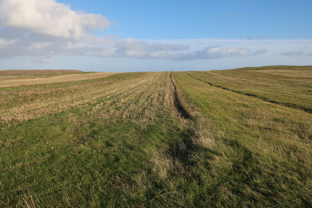
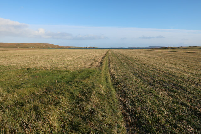
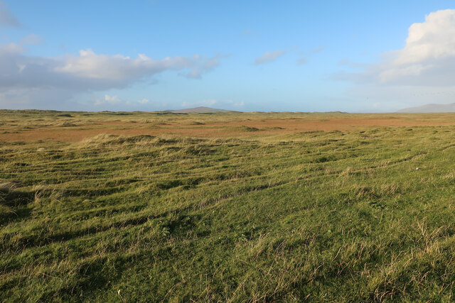
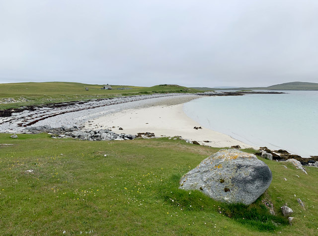
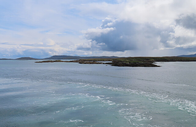
Rubha a' Charnain Mhòir is a prominent coastal feature located in Inverness-shire, Scotland. Situated on the western coast of the Scottish Highlands, this headland juts out into the North Atlantic Ocean, offering breathtaking views and natural beauty.
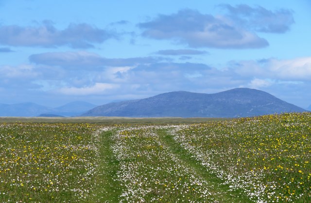
This headland is characterized by its rugged cliffs, which rise dramatically from the sea, reaching heights of up to 100 meters in some areas. The cliffs are composed of ancient rock formations, showcasing layers of sedimentary rocks that have been shaped by the forces of nature over millions of years.
At the tip of Rubha a' Charnain Mhòir, there is a distinct point that extends into the ocean, providing a vantage point for wildlife enthusiasts and nature lovers. The area is known for its diverse birdlife, with seabirds such as gannets, puffins, and razorbills often seen nesting on the cliffs. Dolphins and seals can also be spotted swimming in the surrounding waters.
The headland offers a variety of walking trails and paths that allow visitors to explore the rugged coastline and observe the stunning landscape. It is a popular destination for hikers and outdoor enthusiasts, providing an opportunity to experience the raw beauty of the Scottish Highlands.
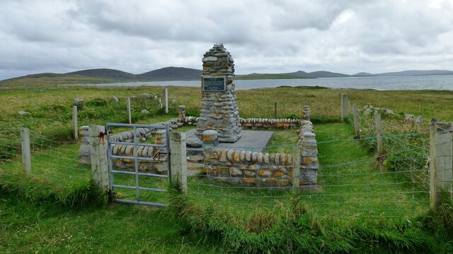
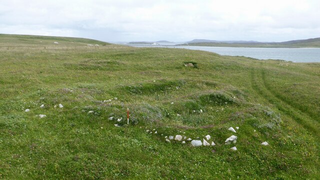
Rubha a' Charnain Mhòir is also steeped in history, with ancient ruins and archaeological sites scattered along its coastline. These remnants of the past add to the allure of the area, providing a glimpse into the lives of the people who once inhabited this remote and wild landscape.
Overall, Rubha a' Charnain Mhòir offers a captivating blend of natural beauty, wildlife, and historical significance, making it a must-visit coastal feature in Inverness-shire.
If you have any feedback on the listing, please let us know in the comments section below.
Rubha a' Charnain Mhòir Images
Images are sourced within 2km of 57.695391/-7.1944726 or Grid Reference NF9079. Thanks to Geograph Open Source API. All images are credited.
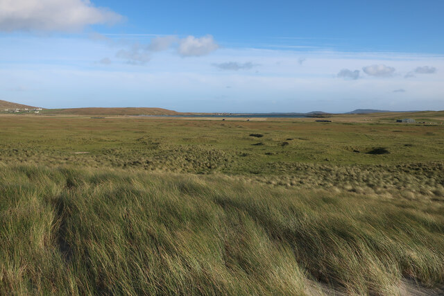

![Oystercatchers on the beach You are never far away from the sight or loud piping of oystercatchers on the Western Isles. This view is south towards the small island of Lingeigh [to the right] with the hills of North Uist beyond.](https://s3.geograph.org.uk/geophotos/06/21/07/6210727_b324520c.jpg)
Rubha a' Charnain Mhòir is located at Grid Ref: NF9079 (Lat: 57.695391, Lng: -7.1944726)
Unitary Authority: Na h-Eileanan an Iar
Police Authority: Highlands and Islands
What 3 Words
///balconies.impaled.auctioned. Near Lochmaddy, Na h-Eileanan Siar
Nearby Locations
Related Wikis

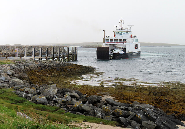
Otternish
Otternish is the former North Uist terminal for the ferry to Berneray, in the Outer Hebrides, Scotland. The slipway lies 6 miles (10 km) north of Lochmaddy...

Newtonferry
Newtonferry (Scottish Gaelic: Port nan Long, "the harbour of the ships") is a small crofting community on the island of North Uist in the Western Isles...

Dun an Sticir
Dun an Sticir (Scottish Gaelic: Dùn an Sticir [ˈt̪un əɲ ˈʃtʲiçkʲɪɾʲ]) is an Iron Age broch situated approximately 9.5 kilometers north of Lochmaddy in...

Berneray (North Uist)
Berneray (Scottish Gaelic: Beàrnaraigh na Hearadh) is an island and community in the Sound of Harris, Scotland. It is one of fifteen inhabited islands...
Nearby Amenities
Located within 500m of 57.695391,-7.1944726Have you been to Rubha a' Charnain Mhòir?
Leave your review of Rubha a' Charnain Mhòir below (or comments, questions and feedback).