Little Neck
Sea, Estuary, Creek in Cornwall
England
Little Neck

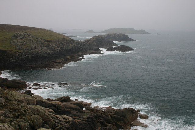
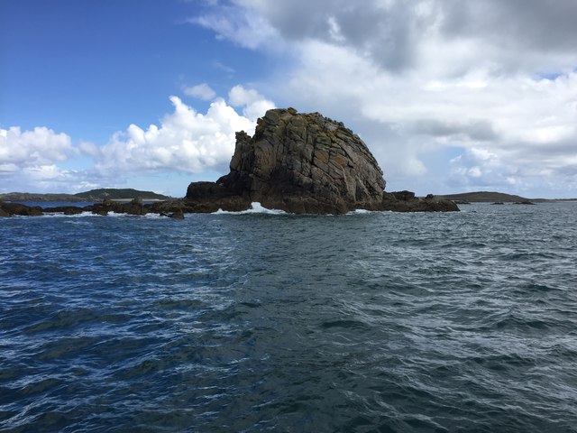
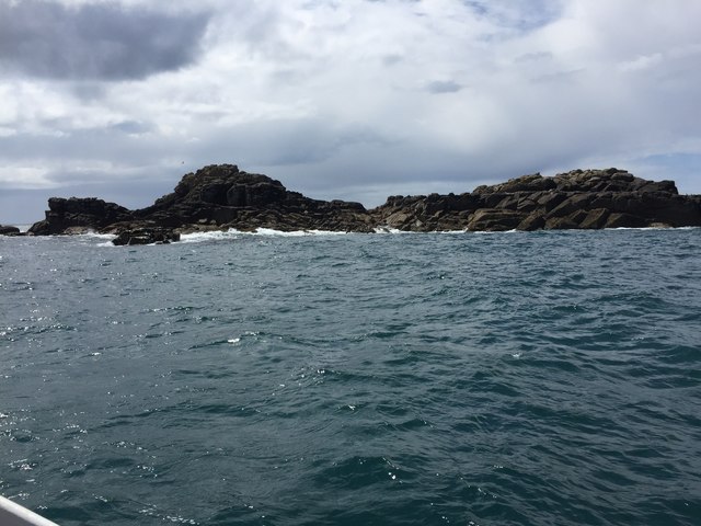
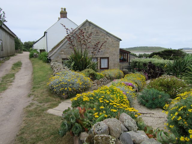
Little Neck, Cornwall is a picturesque coastal area located in the southwestern part of England. Situated near the town of Falmouth, Little Neck is characterized by its stunning sea views, serene estuary, and meandering creek. The area is renowned for its natural beauty and is a popular destination for nature lovers and outdoor enthusiasts.
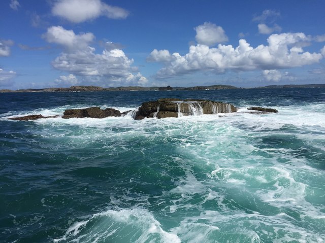
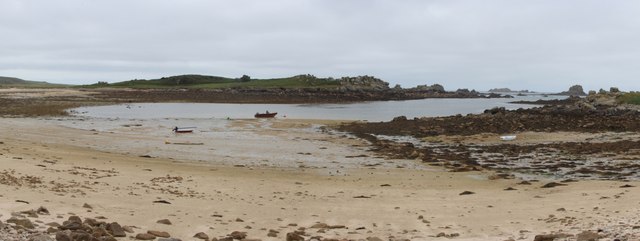
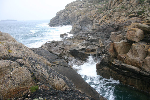
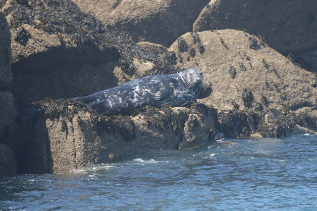
The sea at Little Neck offers breathtaking vistas, with its crystal-clear waters and golden sandy beaches. It provides ample opportunities for swimming, sunbathing, and various water sports activities such as surfing and sailing. The sea is also home to a diverse marine ecosystem, making it an ideal spot for snorkeling and diving enthusiasts to explore the underwater world.
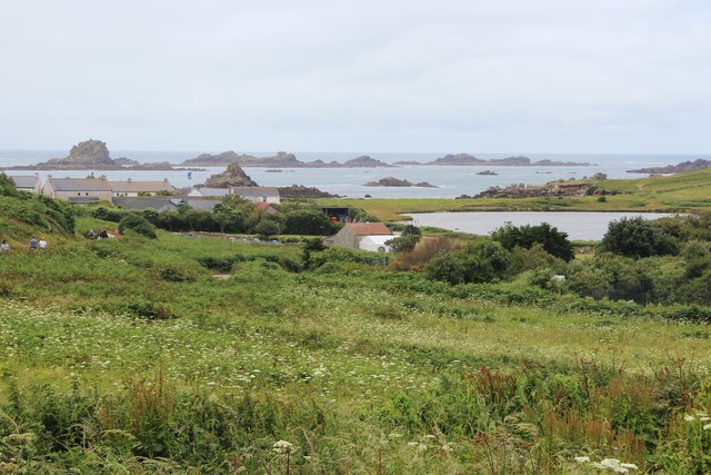
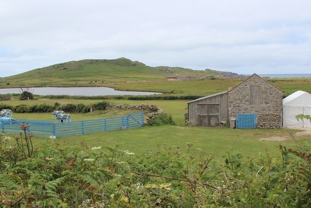
The estuary at Little Neck is a peaceful and tranquil setting, fed by numerous rivers and streams that flow into it. The estuary is known for its rich biodiversity, attracting a wide range of bird species, including herons, oystercatchers, and curlews. Birdwatchers can enjoy observing these feathered creatures in their natural habitat.
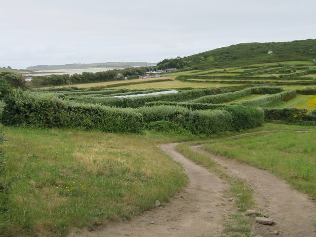
The creek in Little Neck meanders through the beautiful countryside, offering visitors the opportunity to go on peaceful walks or bike rides along its banks. The creek is surrounded by lush greenery, providing a serene and idyllic setting for picnics or simply enjoying the tranquility of nature.
Overall, Little Neck, Cornwall is a stunning coastal area that offers a perfect blend of sea, estuary, and creek. Its natural beauty and diverse ecosystems make it a must-visit destination for nature enthusiasts and those seeking a peaceful retreat away from the hustle and bustle of city life.
If you have any feedback on the listing, please let us know in the comments section below.
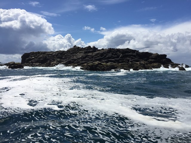
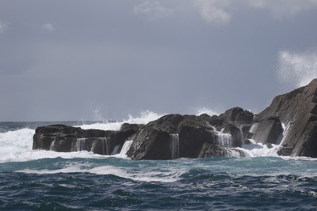
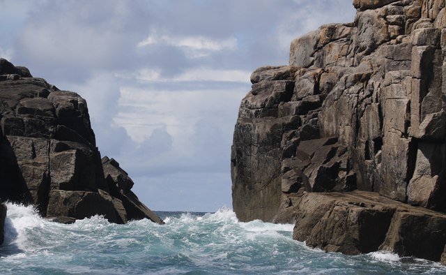
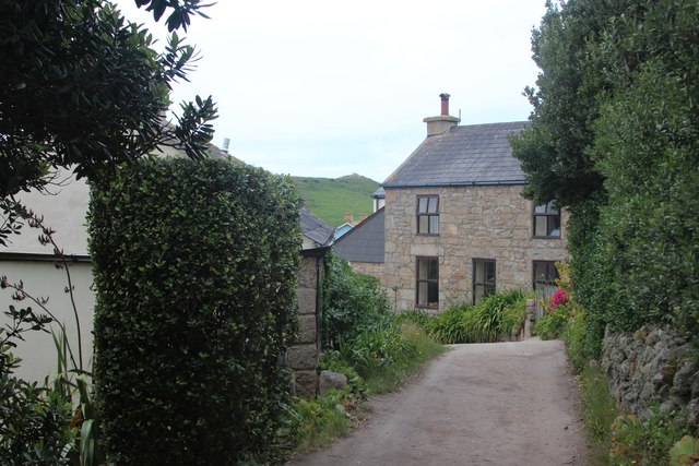
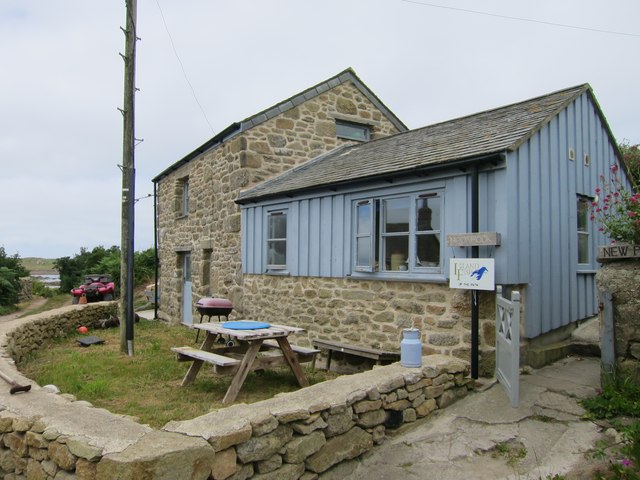
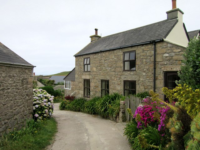
Little Neck Images
Images are sourced within 2km of 49.958413/-6.3800144 or Grid Reference SV8515. Thanks to Geograph Open Source API. All images are credited.
Little Neck is located at Grid Ref: SV8515 (Lat: 49.958413, Lng: -6.3800144)
Division: Isles of Scilly
Unitary Authority: Isles of Scilly
Police Authority: Devon and Cornwall
What 3 Words
///recast.redirection.clapping. Near Bryher, Isles of Scilly
Nearby Locations
Related Wikis

Gweal, Isles of Scilly
Gweal ( GWEEL; Cornish: Gwydhyel, lit. 'place of trees') is one of the Isles of Scilly. It is the largest of the seven Norrard Rocks due west of Bryher...
Norrard Rocks
The Norrard (Northern) Rocks are a group of small uninhabited granite rocks in the north–western part of the Isles of Scilly, to the west of Bryher and...

Bryher
Bryher (Cornish: Breyer, lit. 'place of hills') is one of the smallest inhabited islands of the Isles of Scilly, with a population of 84 in 2011, spread...

Cromwell's Castle
Cromwell's Castle is an artillery fort overlooking New Grimsby harbour on the island of Tresco in the Isles of Scilly. It comprises a tall, circular gun...
Have you been to Little Neck?
Leave your review of Little Neck below (or comments, questions and feedback).