The Flat
Island in Cornwall
England
The Flat

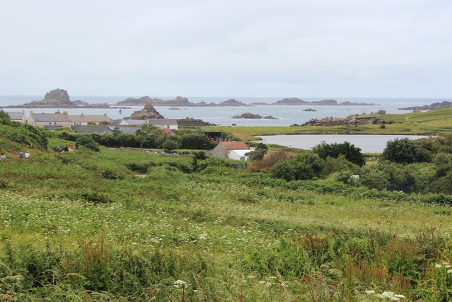
The Flat, Cornwall is a small island located off the southwestern coast of England, in the county of Cornwall. This uninhabited island is situated approximately 1.5 kilometers off the coast of Lizard Point, which is the southernmost point of mainland Great Britain.
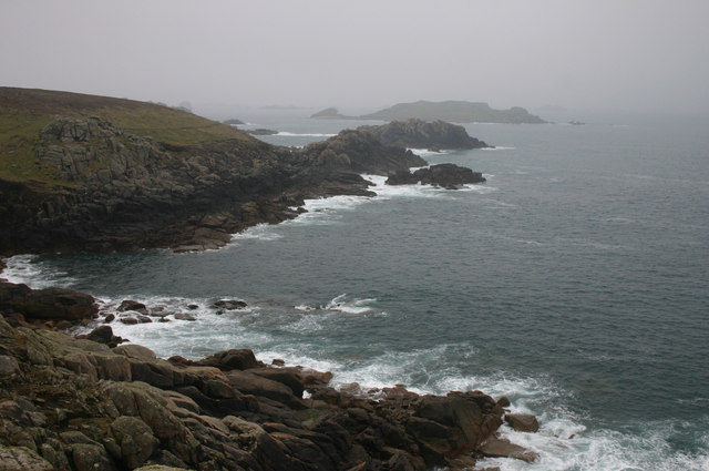
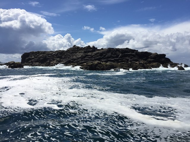
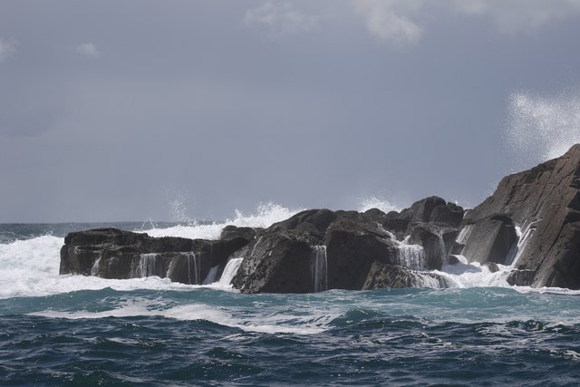
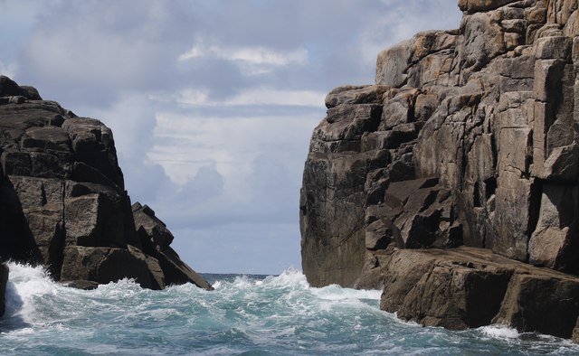
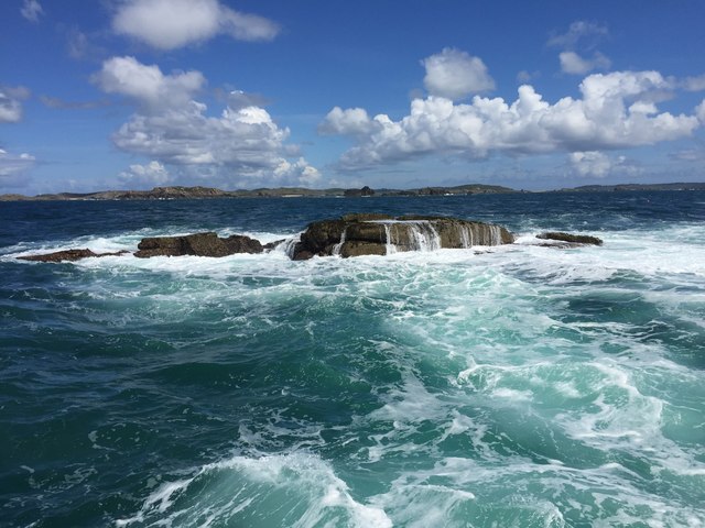
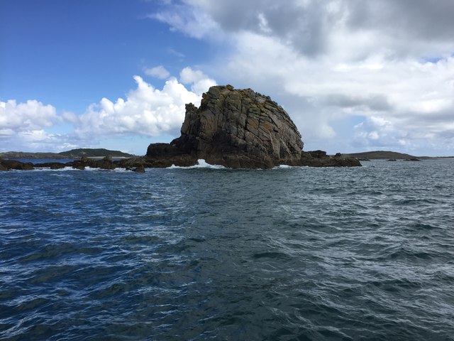
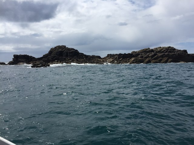
The Flat is a rocky island that covers an area of about 2 hectares and has a maximum elevation of around 15 meters above sea level. It is accessible only by boat and is a popular destination for nature enthusiasts and birdwatchers. The island is part of the Lizard National Nature Reserve, which is known for its diverse and unique wildlife.
The island's coastline is characterized by jagged cliffs and rocky outcrops, creating a picturesque and dramatic seascape. The surrounding waters are home to a variety of marine life, making it a popular spot for snorkeling and diving.
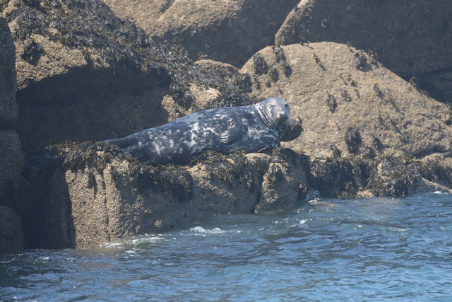
The Flat is particularly renowned for its bird population, with numerous species nesting and roosting on the island. It is an important breeding ground for seabirds such as guillemots, razorbills, and cormorants. The island also attracts migratory birds during certain times of the year.
Due to its protected status, The Flat has limited access and visitors are advised to respect the fragile ecosystem and wildlife. It is a designated Site of Special Scientific Interest (SSSI) and is managed by the Cornwall Wildlife Trust.
If you have any feedback on the listing, please let us know in the comments section below.
The Flat Images
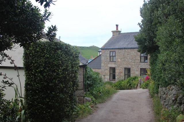
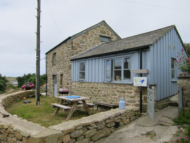
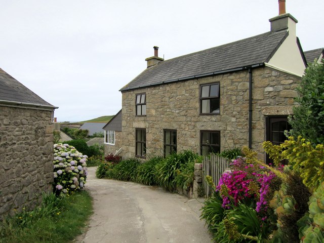
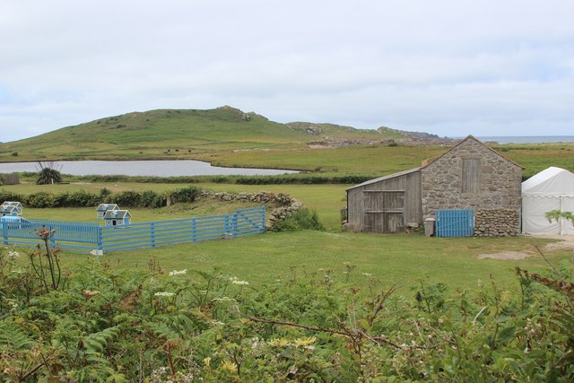
Images are sourced within 2km of 49.956304/-6.3805898 or Grid Reference SV8515. Thanks to Geograph Open Source API. All images are credited.
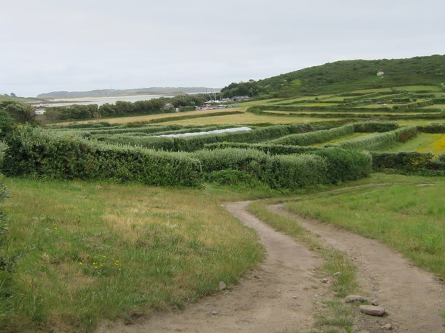
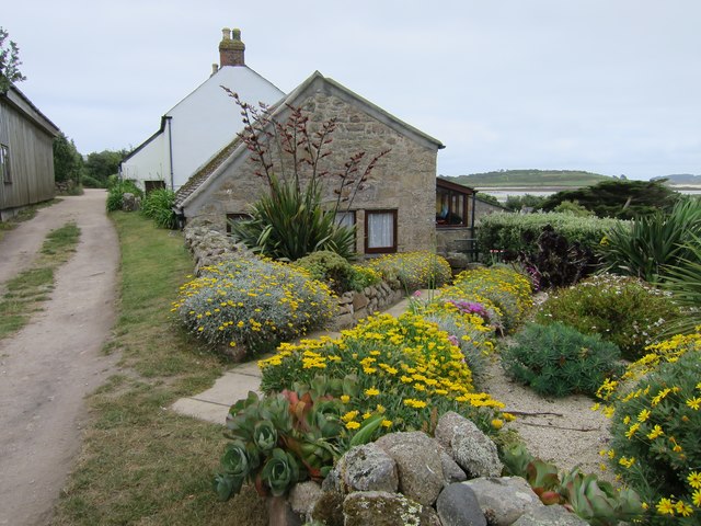
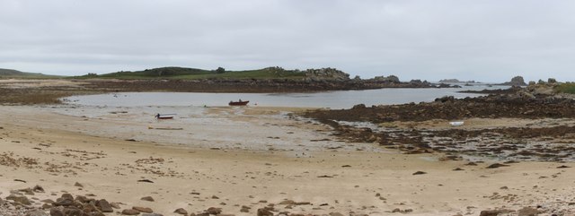
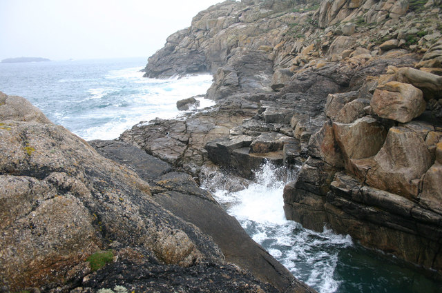
The Flat is located at Grid Ref: SV8515 (Lat: 49.956304, Lng: -6.3805898)
Division: Isles of Scilly
Unitary Authority: Isles of Scilly
Police Authority: Devon and Cornwall
What 3 Words
///beaten.superhero.webcams. Near Bryher, Isles of Scilly
Nearby Locations
Related Wikis

Gweal, Isles of Scilly
Gweal ( GWEEL; Cornish: Gwydhyel, lit. 'place of trees') is one of the Isles of Scilly. It is the largest of the seven Norrard Rocks due west of Bryher...
Norrard Rocks
The Norrard (Northern) Rocks are a group of small uninhabited granite rocks in the north–western part of the Isles of Scilly, to the west of Bryher and...

Bryher
Bryher (Cornish: Breyer, lit. 'place of hills') is one of the smallest inhabited islands of the Isles of Scilly, with a population of 84 in 2011, spread...

All Saints' Church, Bryher
All Saints' Church is a Grade II listed parish church in the Church of England located in Bryher, Isles of Scilly. == History == Bryher is the most westerly...
Have you been to The Flat?
Leave your review of The Flat below (or comments, questions and feedback).