Porth Cynfor
Sea, Estuary, Creek in Anglesey
Wales
Porth Cynfor
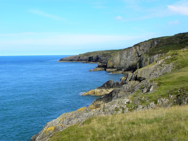
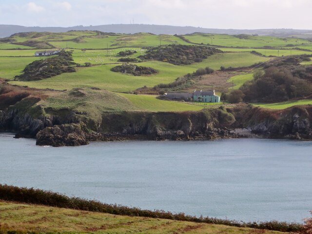
Porth Cynfor is a small coastal village located on the island of Anglesey in North Wales. It is situated on the western coast of the island, overlooking the Irish Sea. The village is known for its beautiful sandy beach and stunning views of the surrounding landscape.
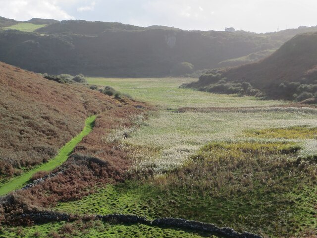
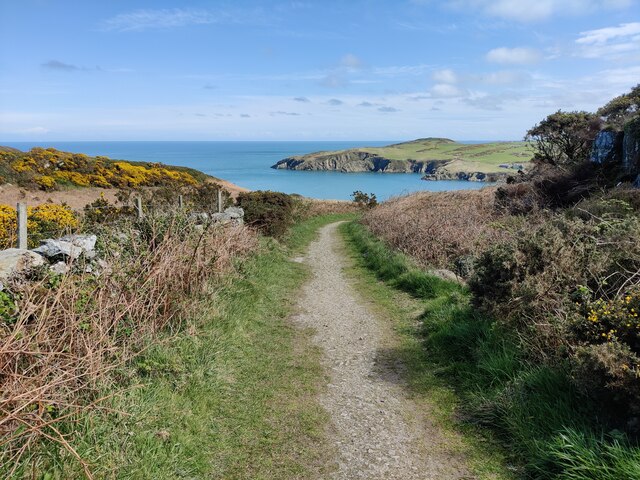
Porth Cynfor is nestled within a natural estuary, which is formed by the convergence of the Afon Cefni and Afon Alaw rivers. This estuary provides a unique habitat for a variety of plant and animal species, making it a popular spot for nature enthusiasts and birdwatchers. The area is particularly renowned for its birdlife, with species such as oystercatchers, curlews, and herons frequently spotted in the estuary.
The beach at Porth Cynfor is a sandy expanse that stretches for miles, offering ample space for sunbathing, picnicking, and beach games. The beach is also popular among surfers and water sports enthusiasts, who take advantage of the strong waves and favorable conditions.
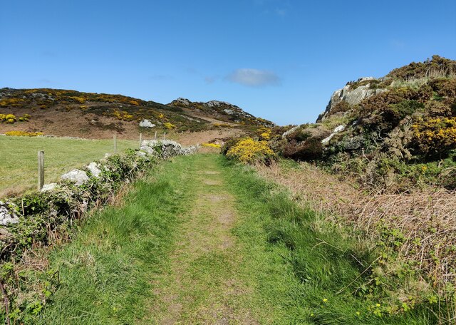
The village itself is small and quaint, with a few shops, cafes, and a local pub. It is a peaceful and idyllic spot, perfect for those seeking a relaxing getaway. The surrounding area boasts stunning coastal walks and hiking trails, allowing visitors to explore the rugged and picturesque landscape of Anglesey.
Overall, Porth Cynfor is a hidden gem on the island of Anglesey, offering a mix of natural beauty, outdoor activities, and a peaceful atmosphere for visitors to enjoy.
If you have any feedback on the listing, please let us know in the comments section below.
Porth Cynfor Images
Images are sourced within 2km of 53.426719/-4.4180152 or Grid Reference SH3994. Thanks to Geograph Open Source API. All images are credited.


Porth Cynfor is located at Grid Ref: SH3994 (Lat: 53.426719, Lng: -4.4180152)
Unitary Authority: Isle of Anglesey
Police Authority: North Wales
Also known as: Hell's Mouth
What 3 Words
///glitter.masterpiece.bypasses. Near Cemaes Bay, Isle of Anglesey
Nearby Locations
Related Wikis

Llanbadrig - Dinas Gynfor
Llanbadrig - Dinas Gynfor is a Site of Special Scientific Interest (or SSSI) in Anglesey, North Wales. It has been designated as a Site of Special Scientific...
Torllwyn
Torllwyn is a headland in Angelsey, Wales, approximately 2.5 kilometres (1.6 mi) ENE of Porthllechog. == See also == Media related to Torllwyn at Wikimedia...

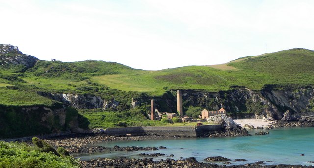
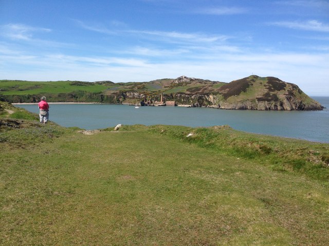
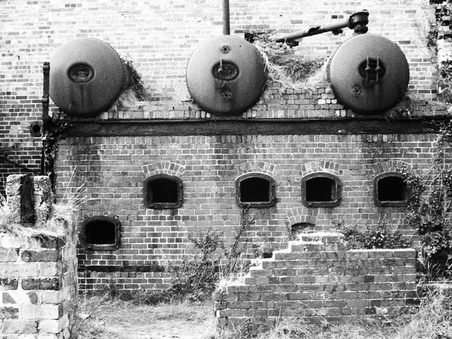
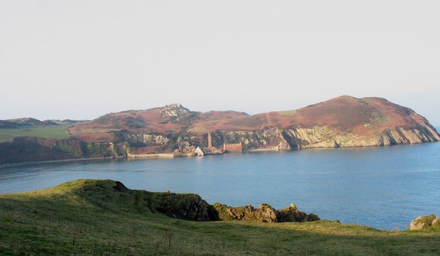
Porth Wen Brickworks
Porth Wen Brickworks first built by Charles E Tidy, is now a disused Victorian brickworks which produced fire bricks, made from quartzite (silica) used...

Middle Mouse
Middle Mouse (Welsh: Ynys Badrig - Patrick's island) is an uninhabited island situated 1 kilometre (1000 yards) off the north coast of Anglesey. It is...
Nearby Amenities
Located within 500m of 53.426719,-4.4180152Have you been to Porth Cynfor?
Leave your review of Porth Cynfor below (or comments, questions and feedback).