Fiddler's Reach
Sea, Estuary, Creek in Kent Dartford
England
Fiddler's Reach

Fiddler's Reach is a picturesque area located in the county of Kent, England. Situated along the southeastern coast of the country, it encompasses a sea, estuary, and creek, making it a diverse and ecologically rich environment.
The sea at Fiddler's Reach offers stunning views of the English Channel, with its crystal-clear waters and dramatic cliffs. It is a popular spot for recreational activities such as swimming, sailing, and fishing. The sea here is also home to a variety of marine life including seals, dolphins, and a wide range of fish species.
The estuary at Fiddler's Reach is formed by the convergence of several rivers, including the River Medway and River Swale. This estuary is known for its extensive mudflats and salt marshes, which provide important habitats for numerous bird species. Birdwatchers flock to Fiddler's Reach to catch sight of wading birds such as curlews, oystercatchers, and avocets.
The creek at Fiddler's Reach meanders through the surrounding countryside, offering a tranquil and serene setting. Lined with reed beds and bordered by marshy grasslands, it provides a haven for various plant and animal species. Visitors can enjoy leisurely walks along the creek, immersing themselves in the sights and sounds of nature.
Fiddler's Reach is a true gem of natural beauty in Kent, offering a unique blend of sea, estuary, and creek. Its diverse ecosystems and abundant wildlife make it a haven for outdoor enthusiasts and nature lovers alike.
If you have any feedback on the listing, please let us know in the comments section below.
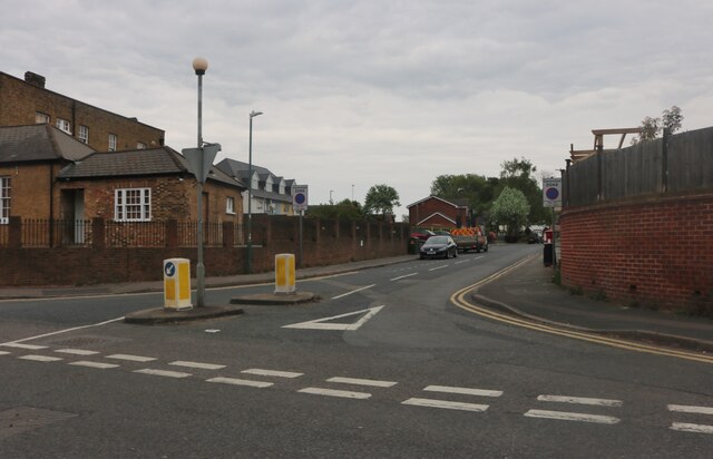
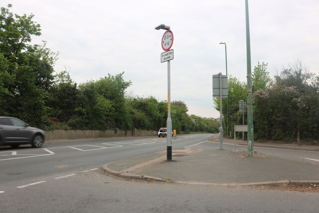
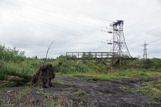
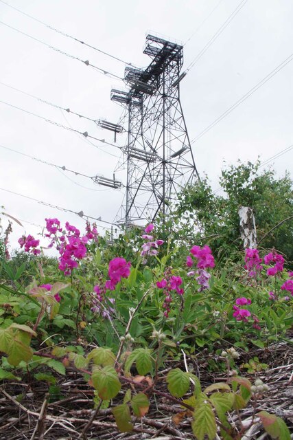
Fiddler's Reach Images
Images are sourced within 2km of 51.463565/0.29537399 or Grid Reference TQ5976. Thanks to Geograph Open Source API. All images are credited.


Fiddler's Reach is located at Grid Ref: TQ5976 (Lat: 51.463565, Lng: 0.29537399)
Administrative County: Kent
District: Dartford
Police Authority: Kent
Also known as: St Clement's Reach
What 3 Words
///fits.trout.apron. Near Greenhithe, Kent
Nearby Locations
Related Wikis

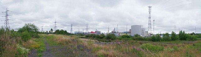
400 kV Thames Crossing
The 400 kV Thames Crossing is an overhead power line crossing of the River Thames, between Botany Marshes in Swanscombe, Kent, and West Thurrock, Essex...
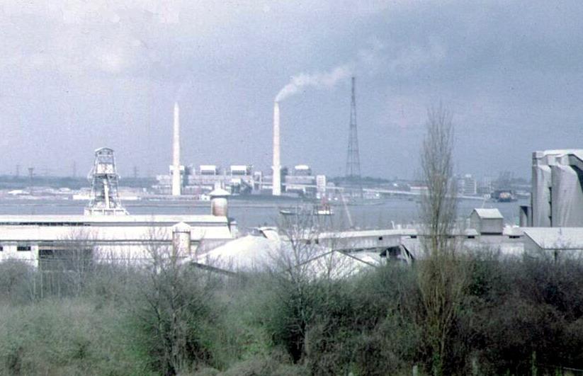
West Thurrock Power Station
West Thurrock Power Station was a coal-fired power station on the River Thames at Stone Ness, West Thurrock in Essex. The station was at the northern end...

West Thurrock Lagoon and Marshes
West Thurrock Lagoon and Marshes is a 66.1-hectare (163-acre) biological Site of Special Scientific Interest in West Thurrock in Essex.The site is important...
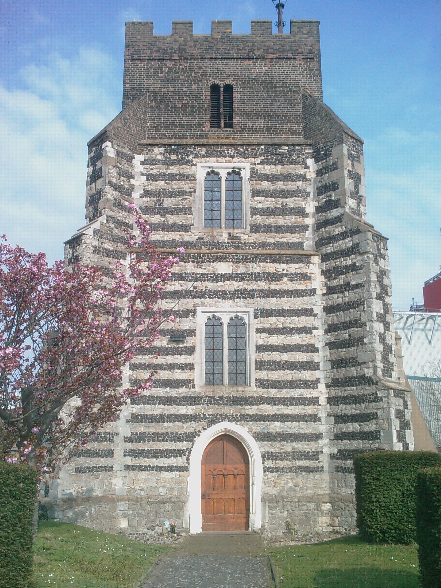
St Clement's Church, West Thurrock
St Clement's Church is a Grade I listed building in West Thurrock, Essex, England. It is the church for one of the traditional (Church of England) parishes...
Nearby Amenities
Located within 500m of 51.463565,0.29537399Have you been to Fiddler's Reach?
Leave your review of Fiddler's Reach below (or comments, questions and feedback).