Aberamffra Harbour
Sea, Estuary, Creek in Merionethshire
Wales
Aberamffra Harbour
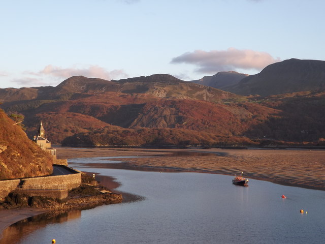
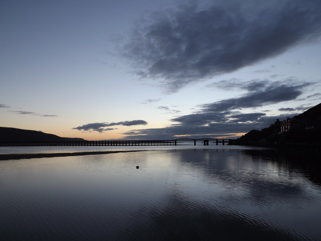
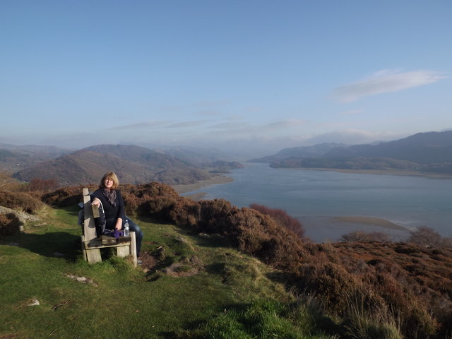
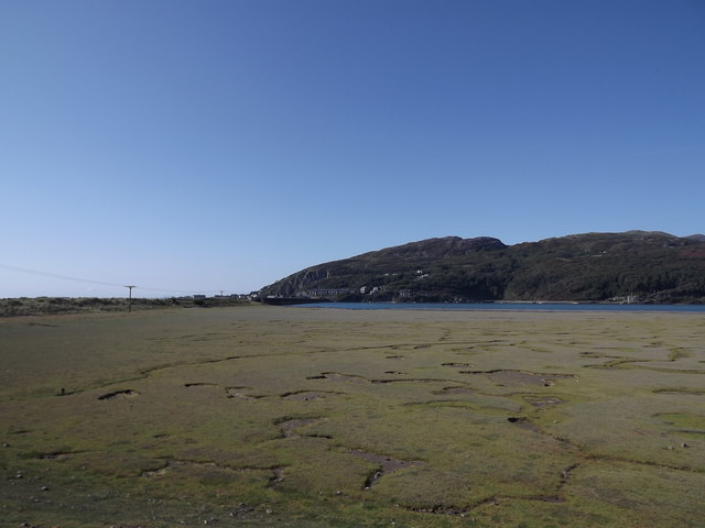
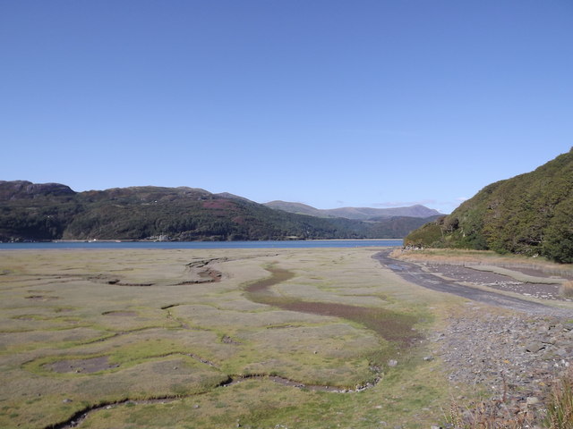
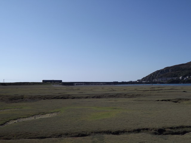
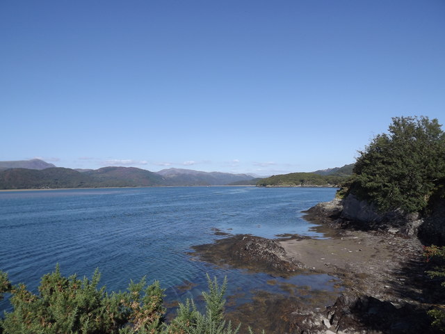
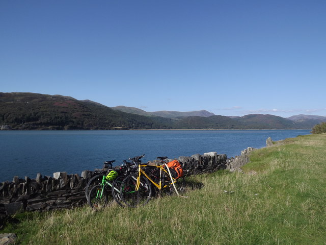
Aberamffra Harbour is a small seaside inlet located in the county of Merionethshire, Wales. Nestled between the towns of Barmouth and Harlech, it serves as a picturesque hub for maritime activities. The harbour is situated at the mouth of the river Mawddach, where it meets Cardigan Bay, providing a stunning natural setting.
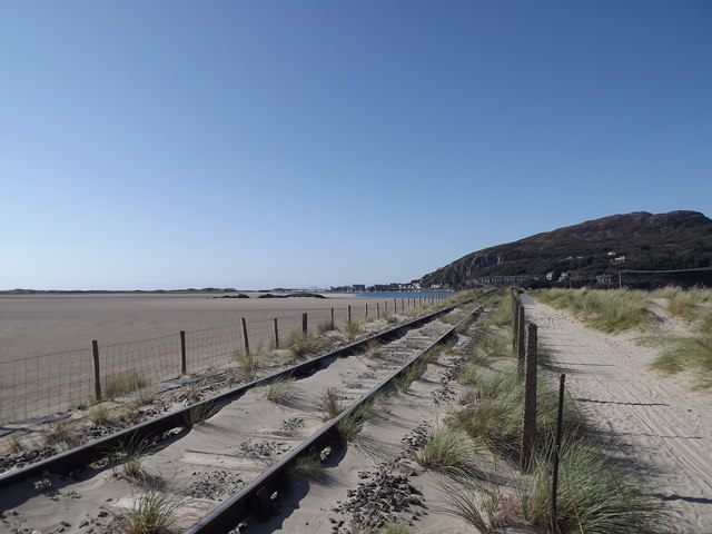
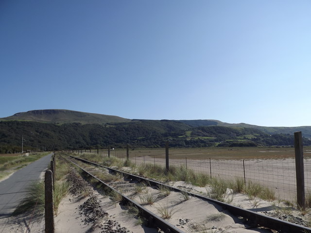
The sea at Aberamffra Harbour is a part of the Irish Sea, offering visitors an opportunity to witness its diverse marine life. The crystal-clear waters are home to a variety of fish species, including mackerel, bass, and flounder, making it a popular spot for anglers. The sea also attracts seabirds, such as gannets, cormorants, and terns, creating a delightful spectacle for birdwatchers.
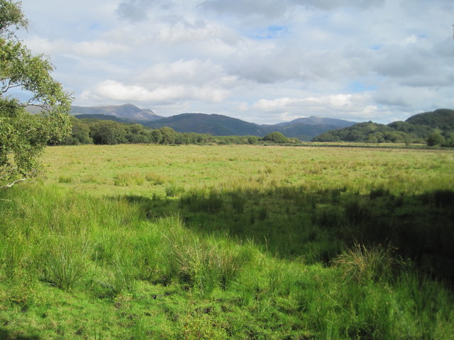
The estuary that feeds into the harbour is formed by the river Mawddach, famous for its stunning estuarine views. The tidal flow creates a dynamic environment, with water levels fluctuating throughout the day. During low tide, vast areas of sandbanks are exposed, providing a unique opportunity for beachcombing and exploring the marine flora and fauna.
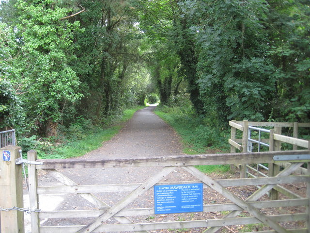
Aberamffra Harbour is also known for its tranquil creek, which winds its way through the surrounding countryside. This creek is a haven for kayakers and canoeists, offering a peaceful and scenic route to explore the river's upstream reaches.
Overall, Aberamffra Harbour is a charming coastal location that combines the beauty of the sea, estuary, and creek. Its natural setting and diverse range of activities make it a must-visit destination for nature enthusiasts, fishermen, and anyone seeking a serene seaside experience.
If you have any feedback on the listing, please let us know in the comments section below.
Aberamffra Harbour Images
Images are sourced within 2km of 52.721277/-4.0406015 or Grid Reference SH6215. Thanks to Geograph Open Source API. All images are credited.
Aberamffra Harbour is located at Grid Ref: SH6215 (Lat: 52.721277, Lng: -4.0406015)
Unitary Authority: Gwynedd
Police Authority: North Wales
Also known as: Porth Aberamffra
What 3 Words
///meaty.tables.deprives. Near Barmouth, Gwynedd
Nearby Locations
Related Wikis
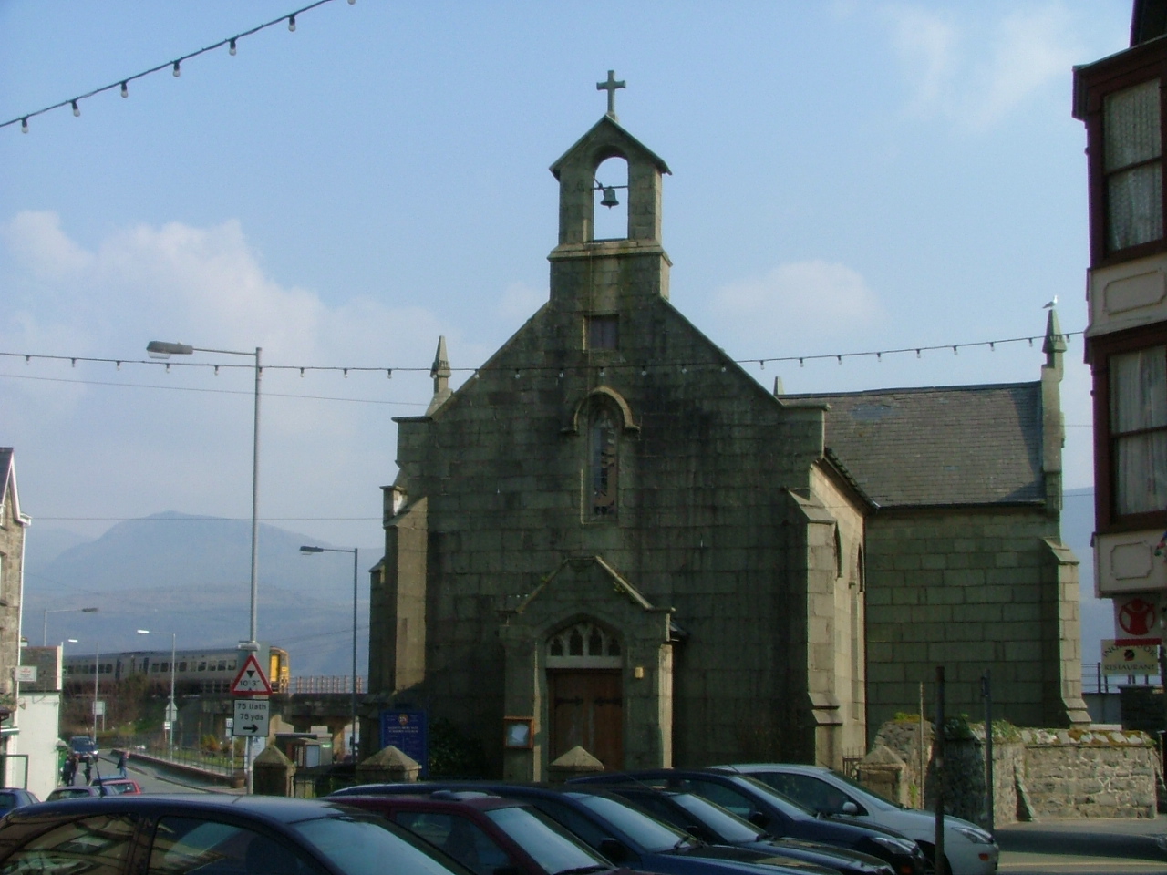
St David's Church, Barmouth
St David's Church is a Church in Wales church by the harbour of Barmouth, Gwynedd, west Wales. It is part of the Bro Ardudwy Ministry Area. == History... ==

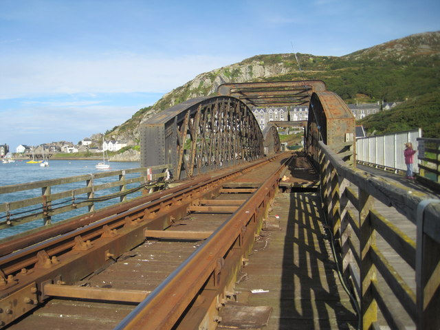
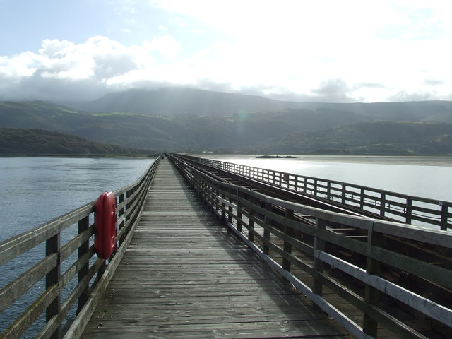
Barmouth Bridge
Barmouth Bridge (Welsh: Pont Abermaw), or Barmouth Viaduct is a Grade II* listed single-track wooden railway viaduct across the estuary of the River Mawddach...

Barmouth
Barmouth (Welsh: Abermaw (formal); Y Bermo (colloquial)) is a seaside town and community in the county of Gwynedd, north-west Wales; it lies on the estuary...
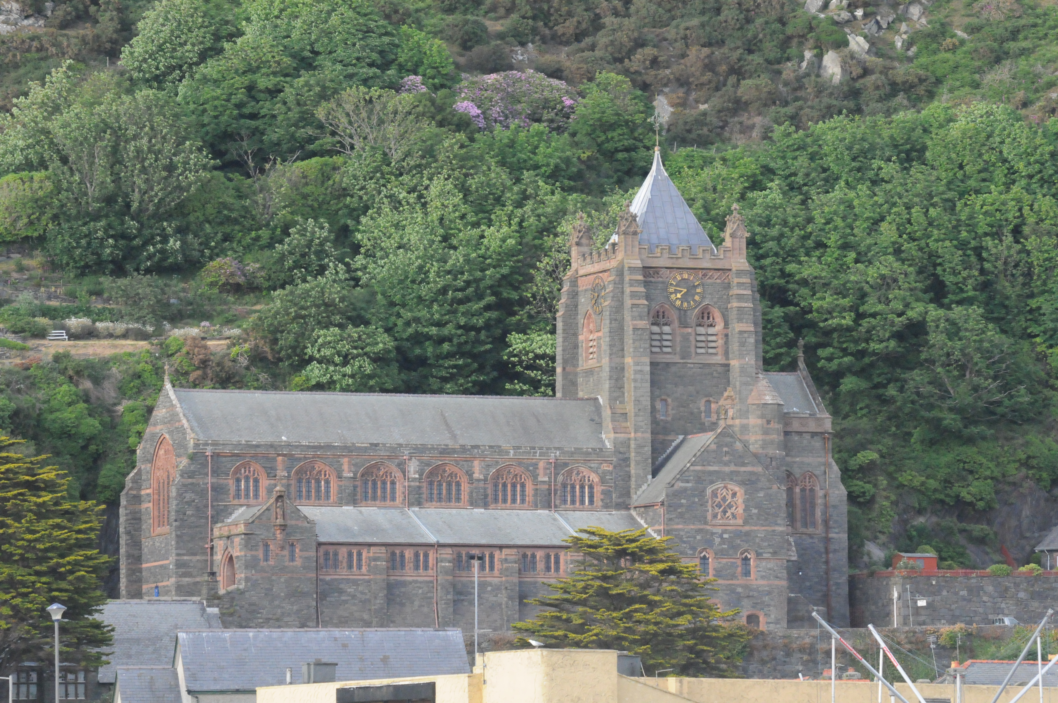
St John's Church, Barmouth
St John's Church, Barmouth, Gwynedd, Wales was built between 1889 and 1895 and designed by the Chester architects Douglas and Fordham. The foundation stone...
Nearby Amenities
Located within 500m of 52.721277,-4.0406015Have you been to Aberamffra Harbour?
Leave your review of Aberamffra Harbour below (or comments, questions and feedback).