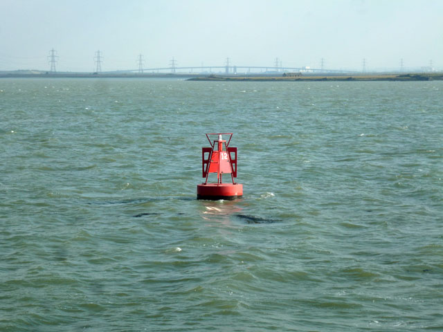
Kethole Reach
Sea, Estuary, Creek in Kent Swale
England
Kethole Reach
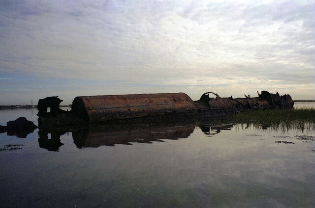
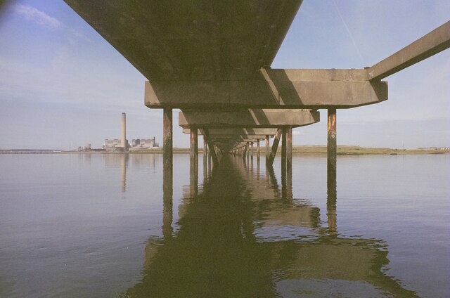
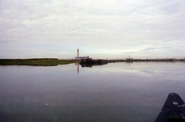
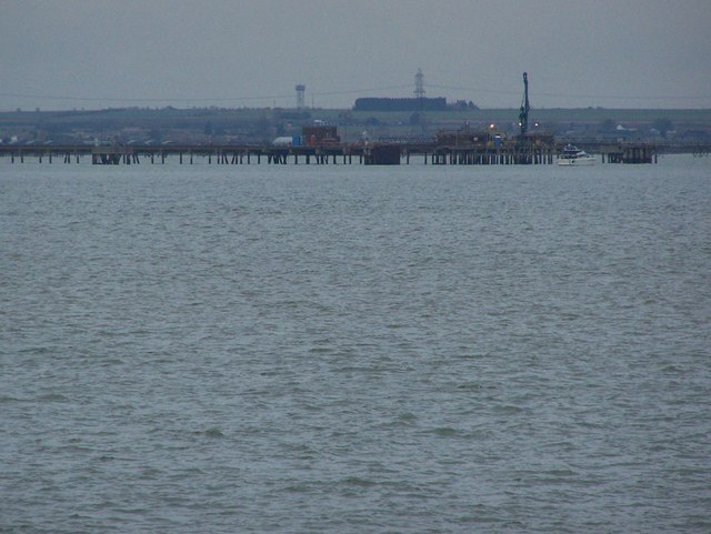
Kethole Reach is a picturesque waterway located in the county of Kent, England. Situated on the southeastern coast of the country, it is a unique combination of sea, estuary, and creek. The reach is formed by the confluence of the North Sea and the River Stour, creating a stunning natural landscape that attracts both locals and tourists.
The reach is characterized by its tranquil waters, which offer a peaceful environment for various recreational activities such as boating, fishing, and birdwatching. The surrounding area is abundant in wildlife, making it a haven for nature enthusiasts. The estuary supports a diverse ecosystem, with numerous bird species inhabiting its marshes and mudflats, including waders, waterfowl, and seabirds.
Kethole Reach is also known for its stunning views, with the picturesque landscape providing a backdrop of rolling hills, meadows, and coastal cliffs. The area is dotted with charming villages and historic landmarks, adding to its allure. Visitors can explore the nearby town of Sandwich, a medieval gem renowned for its well-preserved architecture and rich history.
The reach serves as a vital transportation route, connecting various towns and villages along its banks. It also plays a significant role in the local economy, supporting industries such as shipping, fishing, and tourism. The reach is easily accessible, with several access points and walking trails allowing visitors to explore its beauty on foot.
Overall, Kethole Reach offers a unique blend of natural beauty, biodiversity, and historical significance. It is a true gem of Kent, providing an idyllic escape for those seeking tranquility and a connection with nature.
If you have any feedback on the listing, please let us know in the comments section below.
Kethole Reach Images
Images are sourced within 2km of 51.418144/0.65216407 or Grid Reference TQ8472. Thanks to Geograph Open Source API. All images are credited.
Kethole Reach is located at Grid Ref: TQ8472 (Lat: 51.418144, Lng: 0.65216407)
Administrative County: Kent
District: Swale
Police Authority: Kent
What 3 Words
///headsets.supreme.convinces. Near Upper Stoke, Kent
Nearby Locations
Related Wikis

HMS Bulwark (1899)
HMS Bulwark was one of five London-class pre-dreadnought battleships built for the Royal Navy at the end of the 19th century. The Londons were a sub-class...

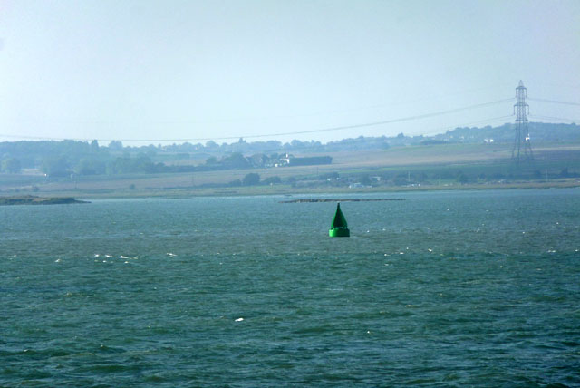
Medway Estuary and Marshes
Medway Estuary and Marshes is a 4,748.8-hectare (11,735-acre) biological Site of Special Scientific Interest which stretches along the banks of the River...

Burntwick Island
Burntwick Island is an island in the estuary of the River Medway in Kent, United Kingdom. It is a flat, raised area of marshland around 2 kilometres (1...

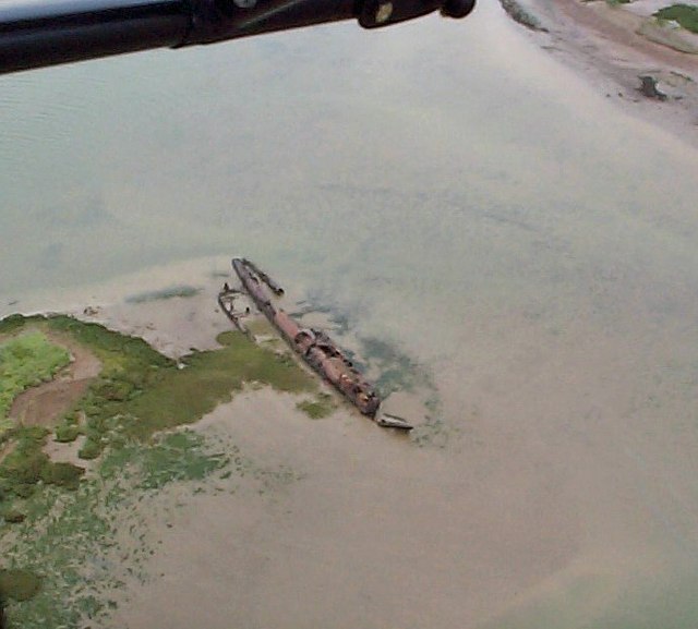
SM UB-144
UB-144 was a German Type UB III submarine or U-boat built for the German Imperial Navy (German: Kaiserliche Marine) during World War I. Incomplete at the...
SM UB-145
UB-145 was a German Type UB III submarine or U-boat built for the German Imperial Navy (German: Kaiserliche Marine) during World War I. Incomplete at the...
SM UB-150
SM UB-150 was a German Type UB III submarine or U-boat built for the German Imperial Navy (German: Kaiserliche Marine) during World War I. Incomplete at...
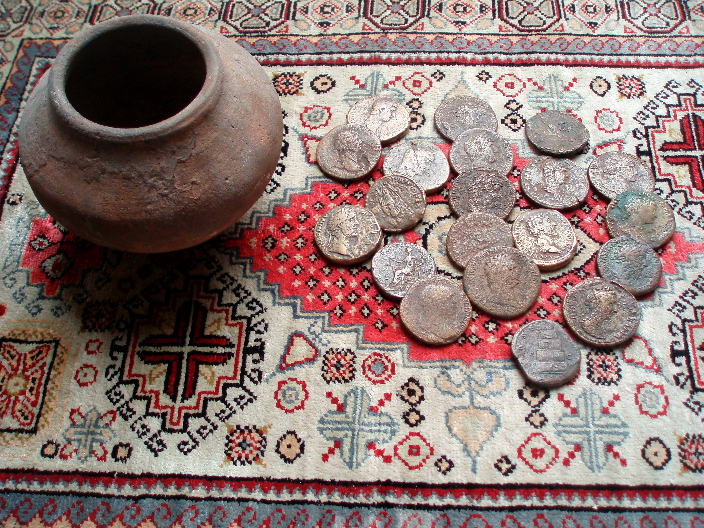
Upchurch Hoard
The Upchurch Hoard was a pot containing thirty-seven Roman sestertii dating from the late 1st century to the second half of the 2nd century AD found near...

HMS Princess Irene
HMS Princess Irene was a 5,394 GRT ocean liner which was built in 1914 by William Denny and Brothers Ltd, Dumbarton, Scotland for the Canadian Pacific...
Nearby Amenities
Located within 500m of 51.418144,0.65216407Have you been to Kethole Reach?
Leave your review of Kethole Reach below (or comments, questions and feedback).