Fisher Fleet
Sea, Estuary, Creek in Norfolk King's Lynn and West Norfolk
England
Fisher Fleet
Fisher Fleet is a coastal area located in Norfolk, England, known for its diverse and picturesque landscape consisting of sea, estuary, and creek. Situated along the eastern coast of the county, Fisher Fleet offers a unique combination of natural beauty and maritime activities.
The area is primarily characterized by its expansive seafront, featuring sandy beaches and stunning views of the North Sea. The coastline is a popular destination for tourists and locals alike, attracting visitors who enjoy swimming, sunbathing, and engaging in various water sports such as surfing and sailing.
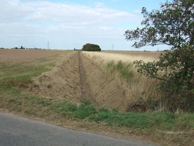
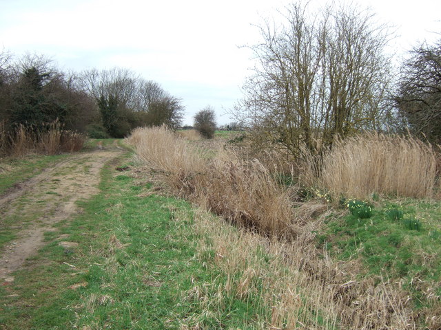
Adjacent to the sea, Fisher Fleet boasts an estuary that provides a habitat for a wide range of marine life. The estuary is fed by several creeks, creating a rich ecosystem that supports diverse flora and fauna. It is a haven for birdwatchers, as numerous bird species can be spotted in the area, including waders, gulls, and terns. The estuary is also home to various fish species, making it a favorite spot for fishing enthusiasts.
In addition to its natural beauty, Fisher Fleet has a historical significance as a fishing village. The local community has a long tradition of fishing, and the area still supports a small fishing industry. Visitors can witness traditional fishing methods and even sample freshly caught seafood at the local fish markets and restaurants.
Overall, Fisher Fleet offers a captivating blend of coastal charm, stunning natural scenery, and a rich maritime heritage, making it a must-visit destination for nature lovers and those seeking a glimpse into Norfolk's fishing traditions.
If you have any feedback on the listing, please let us know in the comments section below.
Fisher Fleet Images
Images are sourced within 2km of 52.760978/0.39113259 or Grid Reference TF6120. Thanks to Geograph Open Source API. All images are credited.


Fisher Fleet is located at Grid Ref: TF6120 (Lat: 52.760978, Lng: 0.39113259)
Administrative County: Norfolk
District: King's Lynn and West Norfolk
Police Authority: Norfolk
What 3 Words
///film.fell.ample. Near King's Lynn, Norfolk
Nearby Locations
Related Wikis
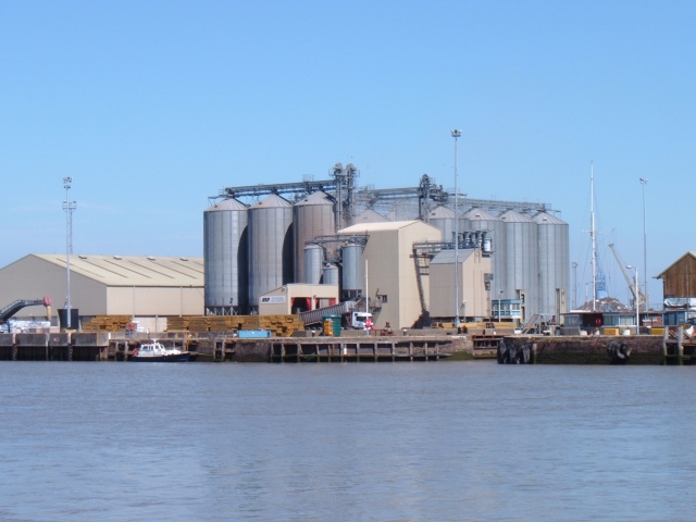
King's Lynn Docks
King's Lynn Docks are located to the north of the town of King's Lynn in the English county of Norfolk. They are on the River Great Ouse which provides...
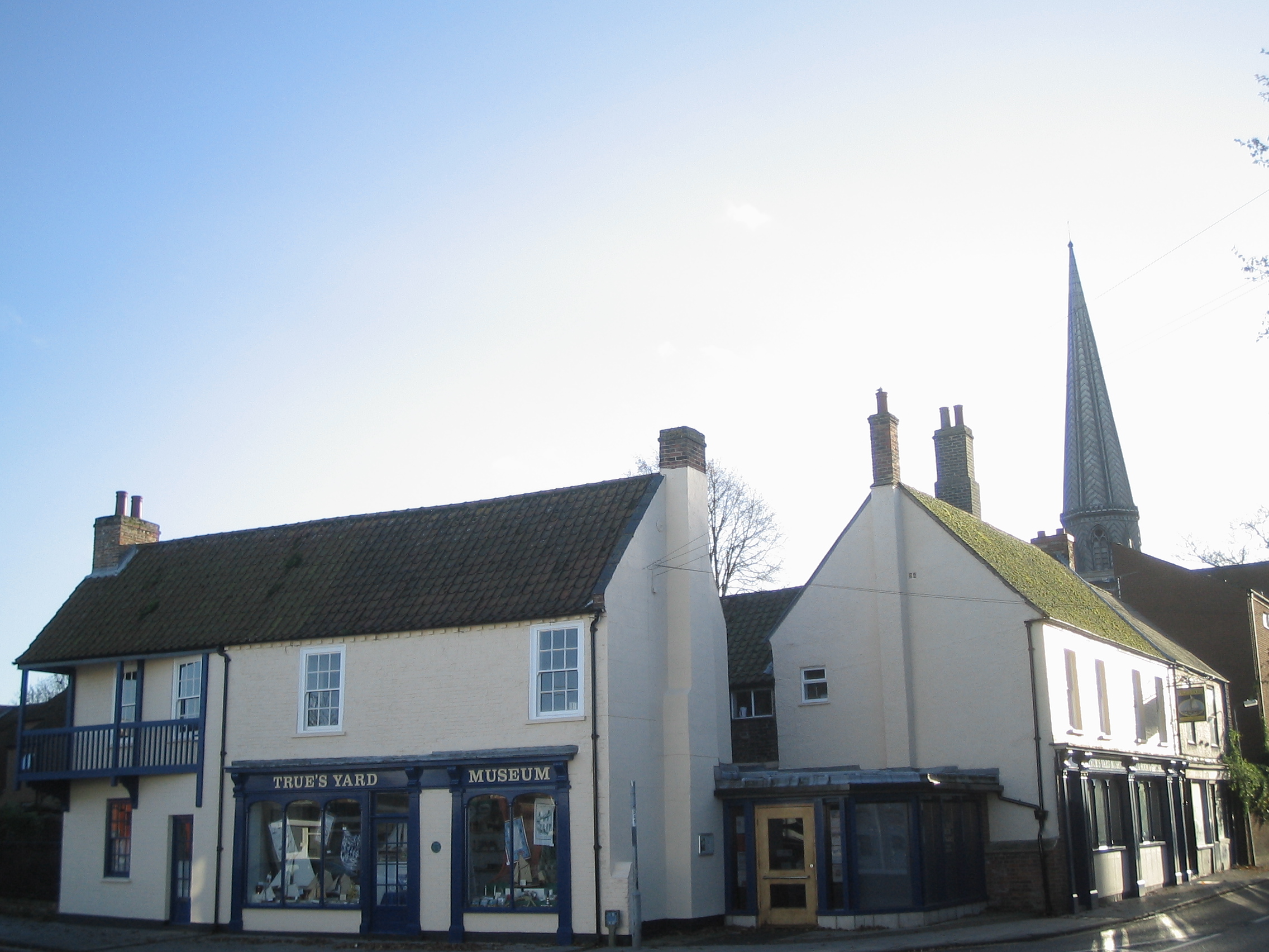
True's Yard Fisherfolk Museum
True’s Yard Fisherfolk Museum is a social history museum in King's Lynn, Norfolk. It is an independent museum run almost entirely by volunteers and depicts...
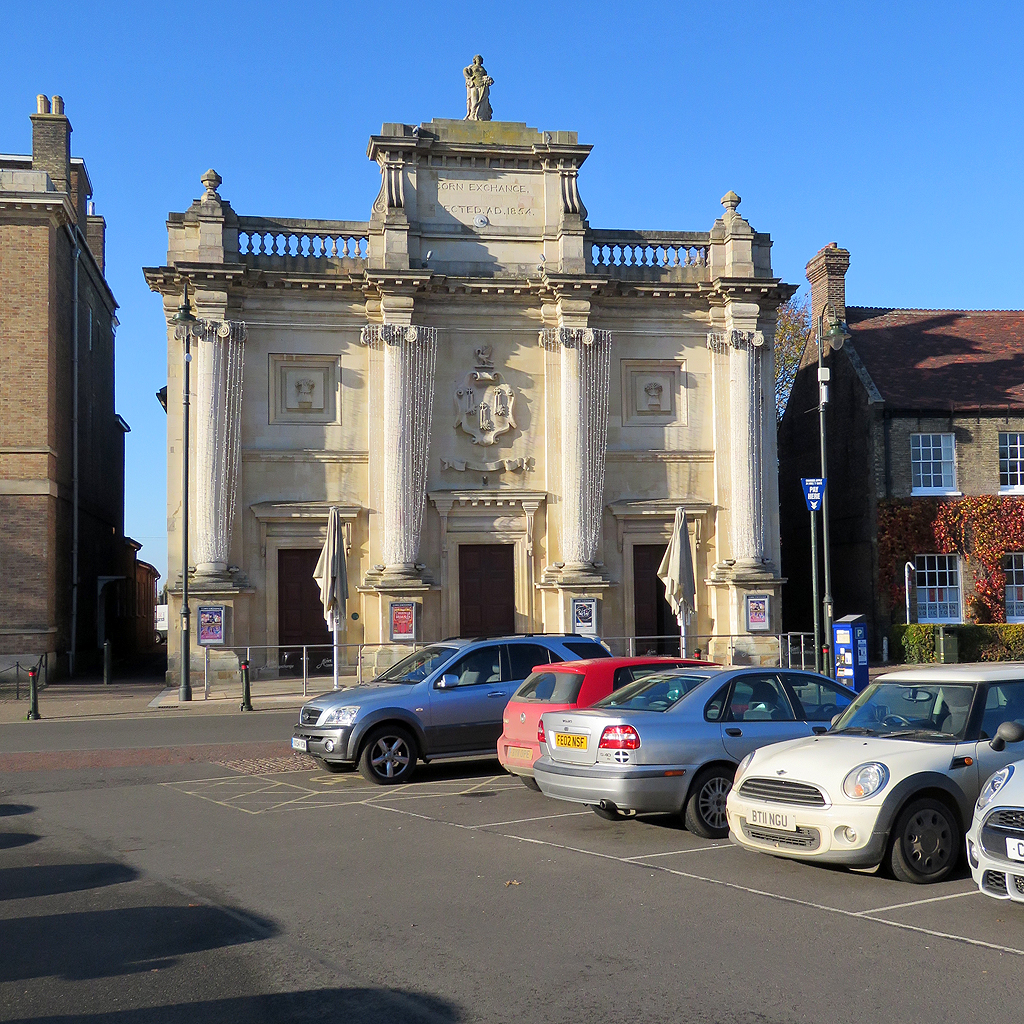
Corn Exchange, King's Lynn
The Corn Exchange is a commercial building in Tuesday Market Place, King's Lynn, Norfolk, England. The structure, which was commissioned as a corn exchange...

West Lynn, Norfolk
West Lynn is a suburb of King's Lynn in Norfolk, England. It is the part of the town lying on the west bank of the River Great Ouse, linked to the main...
Nearby Amenities
Located within 500m of 52.760978,0.39113259Have you been to Fisher Fleet?
Leave your review of Fisher Fleet below (or comments, questions and feedback).