Bentinck Dock
Lake, Pool, Pond, Freshwater Marsh in Norfolk King's Lynn and West Norfolk
England
Bentinck Dock
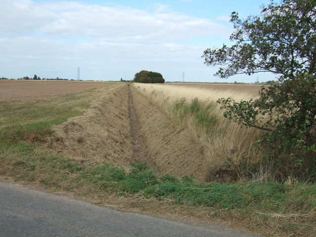
Bentinck Dock, located in Norfolk, is a freshwater marsh encompassing a lake, pool, and pond. This picturesque area is known for its serene beauty, diverse wildlife, and unique ecosystem.
The dock itself is an artificial water body that was created by human intervention. It serves as a habitat for various plant and animal species, making it a significant conservation area. The water in the dock is primarily sourced from rainfall and nearby streams, ensuring a constant supply of fresh, clean water.
The lake within Bentinck Dock is the main attraction, covering a substantial area with its calm waters. It provides a suitable environment for a range of aquatic plants, such as water lilies and reeds, to thrive. These plants, in turn, support an abundance of fish, including perch, pike, and carp. Anglers often visit the lake to enjoy a relaxing day of fishing.
Adjacent to the lake is a smaller pool, which is home to a variety of waterfowl species. Ducks, geese, and swans can be spotted gracefully gliding across the water's surface. The pool's shallow depth and plentiful vegetation make it an ideal feeding ground for these birds.
Surrounding the lake and pool are lush green meadows and woodlands, providing a haven for small mammals and birds. The pond within the dock acts as a watering hole for these animals, attracting them to the area.
Overall, Bentinck Dock in Norfolk is a haven for nature enthusiasts and those seeking tranquility. Its diverse range of habitats and the plethora of wildlife it supports make it a must-visit destination for anyone looking to appreciate the wonders of the natural world.
If you have any feedback on the listing, please let us know in the comments section below.
Bentinck Dock Images
Images are sourced within 2km of 52.761861/0.39592417 or Grid Reference TF6120. Thanks to Geograph Open Source API. All images are credited.


Bentinck Dock is located at Grid Ref: TF6120 (Lat: 52.761861, Lng: 0.39592417)
Administrative County: Norfolk
District: King's Lynn and West Norfolk
Police Authority: Norfolk
What 3 Words
///expect.vocal.salad. Near King's Lynn, Norfolk
Nearby Locations
Related Wikis
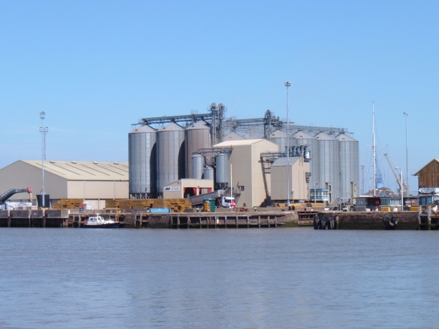
King's Lynn Docks
King's Lynn Docks are located to the north of the town of King's Lynn in the English county of Norfolk. They are on the River Great Ouse which provides...
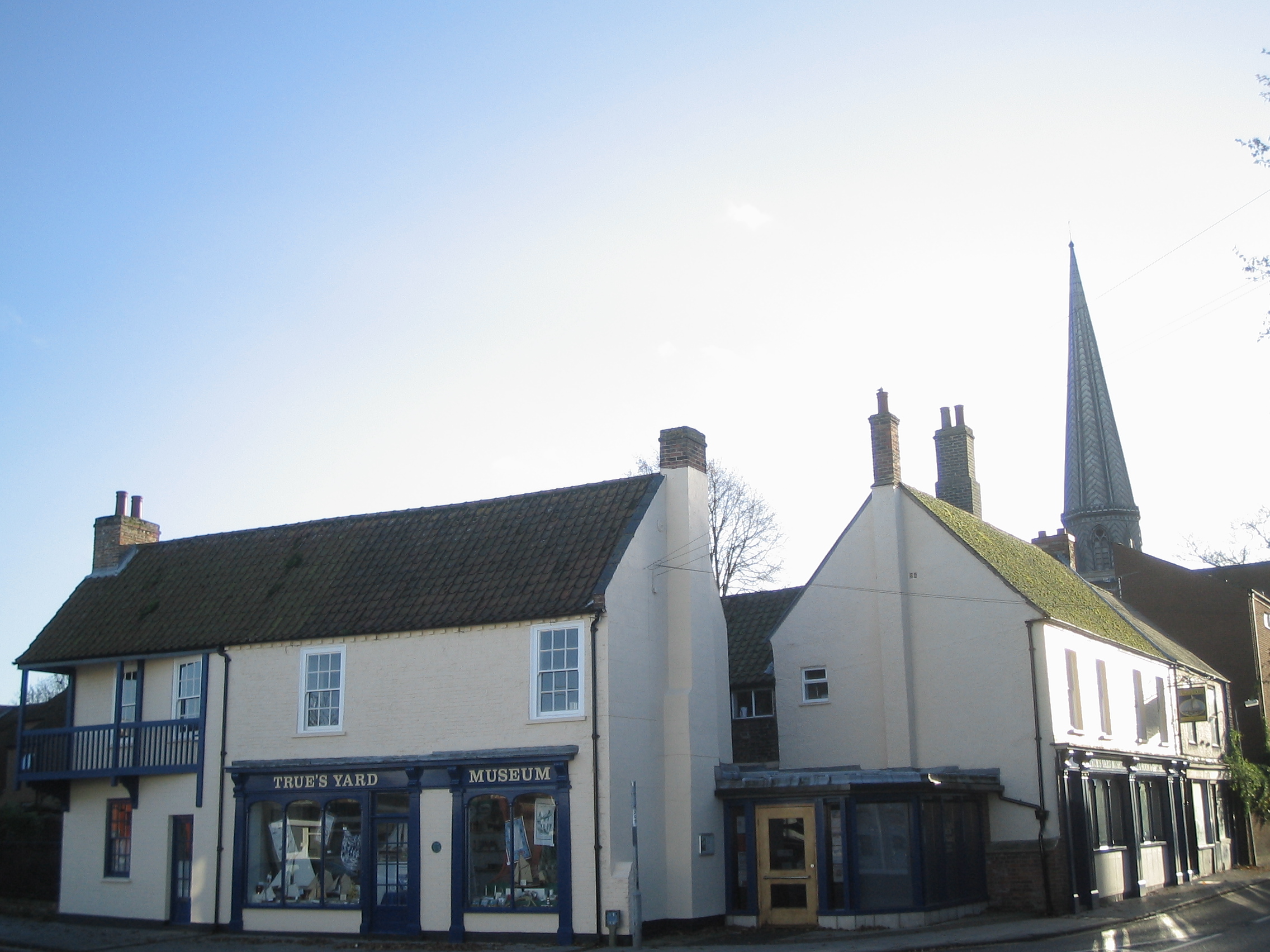
True's Yard Fisherfolk Museum
True’s Yard Fisherfolk Museum is a social history museum in King's Lynn, Norfolk. It is an independent museum run almost entirely by volunteers and depicts...
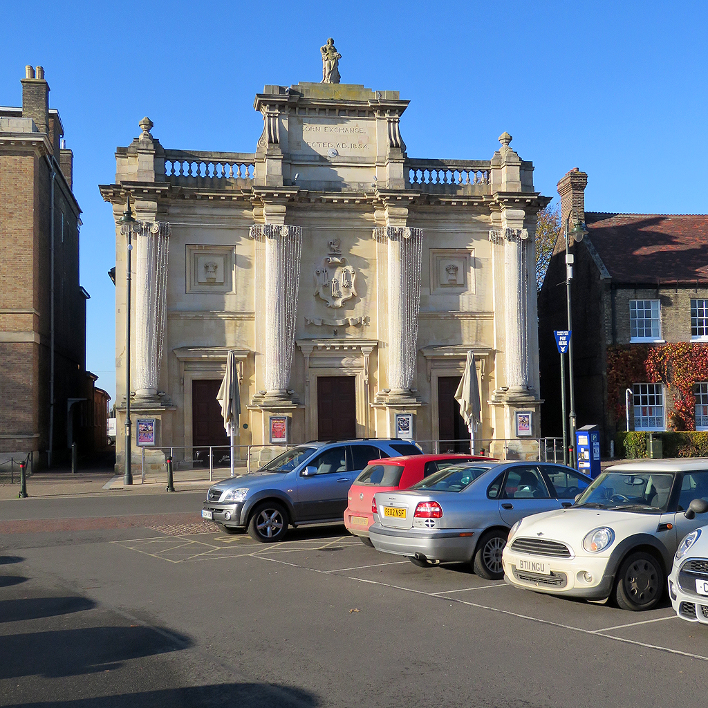
Corn Exchange, King's Lynn
The Corn Exchange is a commercial building in Tuesday Market Place, King's Lynn, Norfolk, England. The structure, which was commissioned as a corn exchange...
Guildhall of St George
The Guildhall of St George is a Grade I listed building in King’s Lynn, Norfolk, England. The Guild of St George was founded in 1376 and constructed the...

King's Lynn and West Norfolk
King's Lynn and West Norfolk is a local government district with borough status in Norfolk, England. Its council is based in the town of King's Lynn. The...

West Lynn, Norfolk
West Lynn is a suburb of King's Lynn in Norfolk, England. It is the part of the town lying on the west bank of the River Great Ouse, linked to the main...
King's Lynn
King's Lynn, known until 1537 as Bishop's Lynn and colloquially as Lynn, is a port and market town in the borough of King's Lynn and West Norfolk in the...

Clifton House, King's Lynn
Clifton House is a grade I listed building in King's Lynn, in Norfolk, England. A house has stood on the site since the 13th century. The current facade...
Nearby Amenities
Located within 500m of 52.761861,0.39592417Have you been to Bentinck Dock?
Leave your review of Bentinck Dock below (or comments, questions and feedback).