Whitton Channel

Sea, Estuary, Creek in Lincolnshire

England

Whitton Channel

On path between Alkborough & Whitton & the upper reaches of the River Humber
On path between Alkborough & Whitton & the upper reaches of the River Humber Credit: Colin Park

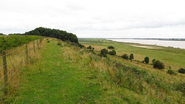
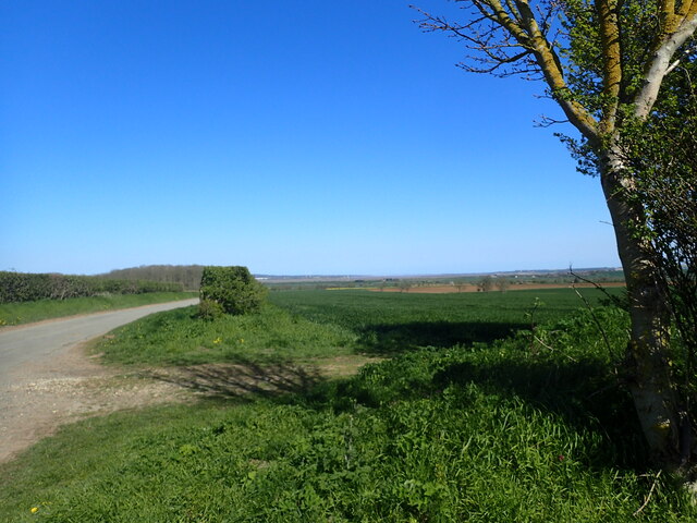
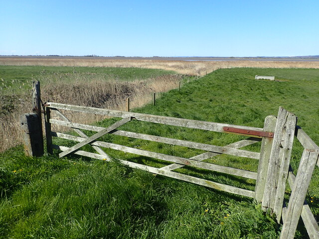
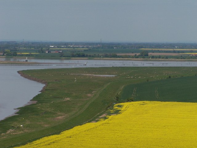
Whitton Channel is a small waterway located in Lincolnshire, England. It is a tidal channel that flows into the North Sea, making it an integral part of the coastal landscape. The channel begins at the mouth of the River Humber and stretches approximately 8 kilometers inland.

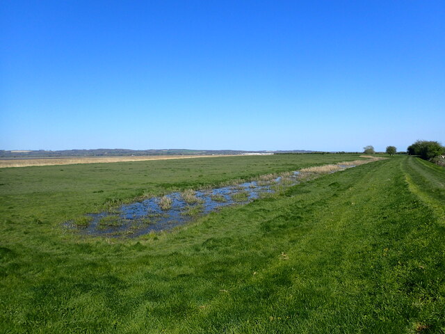
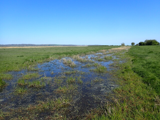
As an estuary, Whitton Channel is subject to the ebb and flow of tides, resulting in a dynamic environment that supports a diverse range of flora and fauna. The channel provides a vital habitat for various species of fish, crustaceans, and birds.

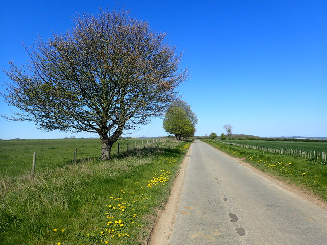
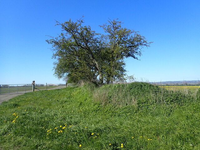
The surrounding landscape of the Whitton Channel is characterized by extensive salt marshes, mudflats, and reed beds. These habitats are important breeding grounds for wading birds such as avocets, redshanks, and oystercatchers. Additionally, the channel plays a crucial role in the migration patterns of numerous bird species.

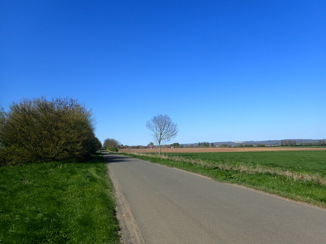
For centuries, the Whitton Channel has been used for transportation and trade. In the past, it served as a busy waterway for the shipping industry, facilitating the movement of goods and supplies. Today, it remains an important route for recreational boating and fishing activities.

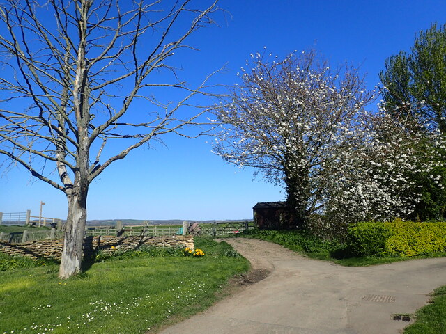
The channel is also popular among nature enthusiasts and birdwatchers who visit the area to observe the diverse wildlife and enjoy the tranquil surroundings. It offers picturesque views of the surrounding coastal landscape, with its winding waterway and abundant wildlife.

In summary, Whitton Channel in Lincolnshire is a tidal estuary that flows into the North Sea. It is a vital habitat for various species of fish, birds, and other wildlife. With its stunning landscape and rich biodiversity, the channel attracts visitors who seek to appreciate and explore the natural beauty of the area.

If you have any feedback on the listing, please let us know in the comments section below.

Whitton Channel Images

Images are sourced within 2km of 53.712004/-0.64732197 or Grid Reference SE8924. Thanks to Geograph Open Source API. All images are credited.

On path between Alkborough & Whitton & the upper reaches of the River Humber
Whitton Road This is north of Alkborough and heading towards the River Humber.
Whitton Road
This is north of Alkborough and heading towards the River Humber.
Ancient boundary This appears to be an ancient boundary feature and is in the form of a ditch and bank.
Ancient boundary
This appears to be an ancient boundary feature and is in the form of a ditch and bank.
Whitton Road This is north of Alkborough and heading towards the River Humber.
Whitton Road
This is north of Alkborough and heading towards the River Humber.
Looking along Whitton Road The Yorkshire Wolds are on the horizon, slightly left of centre.
Looking along Whitton Road
The Yorkshire Wolds are on the horizon, slightly left of centre.
Ancient boundary This appears to be an ancient boundary feature and is in the form of a ditch and bank. It continues on the opposite side of Whitton Road as seen at <a title="www.geograph.org.uk/photo/7468490" href="https://www.geograph.org.uk/photo/7468490">Link</a>
Ancient boundary
This appears to be an ancient boundary feature and is in the form of a ditch and bank. It continues on the opposite side of Whitton Road as seen at Link
Whitton - Church of St John the Baptist
Whitton Road The road from West Halton to Whitton is dead straight. Whitton can be seen in the distance.
Whitton Road
The road from West Halton to Whitton is dead straight. Whitton can be seen in the distance.
The entrance to Humber View Farm The farm is to the right and the view is from the bank on the far left.
The entrance to Humber View Farm
The farm is to the right and the view is from the bank on the far left.
Signpost on Whitton Road The road from West Halton to Whitton is dead straight as seen at <a title="www.geograph.org.uk/photo/7468494" href="https://www.geograph.org.uk/photo/7468494">Link</a>  The Yorkshire Wolds can be seen in the far distance.
Signpost on Whitton Road
The road from West Halton to Whitton is dead straight as seen at Link The Yorkshire Wolds can be seen in the far distance.
The flood plain of the River Humber This is near Humber View Farm at Whitton. The Yorkshire Wolds can be seen on the left on the far side of the River Humber.
The flood plain of the River Humber
This is near Humber View Farm at Whitton. The Yorkshire Wolds can be seen on the left on the far side of the River Humber.
Looking towards the River Humber This is near Humber View Farm at Whitton.
Looking towards the River Humber
This is near Humber View Farm at Whitton.
St John's Church, Whitton St John's Church is well placed above the river Humber at the end of the road. It has a Norman west tower but the nave and chancel date from the 1890s.
St John's Church, Whitton
St John's Church is well placed above the river Humber at the end of the road. It has a Norman west tower but the nave and chancel date from the 1890s.
The interior of St John's Church, Whitton St John's Church is well placed above the river Humber at the end of the road. It has a Norman west tower but the nave and chancel date from the 1890s. For the view outside see <a title="www.geograph.org.uk/photo/7474998" href="https://www.geograph.org.uk/photo/7474998">Link</a>
The interior of St John's Church, Whitton
St John's Church is well placed above the river Humber at the end of the road. It has a Norman west tower but the nave and chancel date from the 1890s. For the view outside see Link
Information about St John's Church, Whitton This is found in the church.
Information about St John's Church, Whitton
This is found in the church.
Show me another place!

Whitton Channel is located at Grid Ref: SE8924 (Lat: 53.712004, Lng: -0.64732197)

Unitary Authority: North Lincolnshire

Police Authority: Humberside

What 3 Words

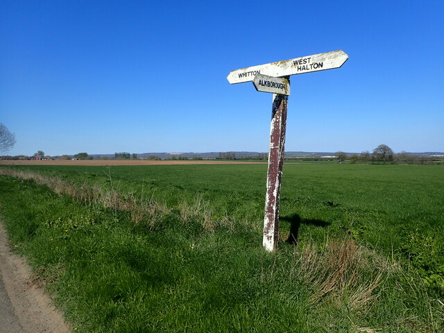
///shins.twig.retailing. Near Whitton, Lincolnshire

Related Wikis

Whitton railway station (Lincolnshire)

Whitton railway station was a railway station, built by the North Lindsey Light Railway in Whitton, Lincolnshire. It was the northern terminus of the line...

Whitton, Lincolnshire

Whitton is a village and civil parish in North Lincolnshire, England. The 2011 census found 212 inhabitants, in 92 households. It is situated at the northern...

Whitton Island

Whitton Island is an island situated at the western end of the Humber Estuary in northern England. The almond-shaped island straddles the county boundary...

Broomfleet

Broomfleet is a village and civil parish in the East Riding of Yorkshire, England. It is situated on the Humber Estuary approximately 4 miles (6 km) west...

Faxfleet

Faxfleet is a hamlet and former civil parish, now in the parish of Blacktoft, in the East Riding of Yorkshire, England. It is situated approximately 6...

River Trent

The Trent is third in the list of longest rivers in the United Kingdom. Its source is in Staffordshire, on the southern edge of Biddulph Moor. It flows...

Trent Falls

Trent Falls is the confluence of the River Ouse and the River Trent which forms the Humber between Lincolnshire and the East Riding of Yorkshire in England...

Alkborough

Alkborough is a parish of 471 people in 192 households (2021 census) in North Lincolnshire, England, located near the northern end of The Cliff range of...

Nearby Amenities

Located within 500m of 53.712004,-0.64732197
Whitton Scalp
Place: locality
Source: Bing
Lat/Long: 53.7088483/-0.6435513
Whitton Channel
Place: locality
Lat/Long: 53.7108062/-0.6538785
The data included in this document is from www.openstreetmap.org. The data is made available under ODbL.

Have you been to Whitton Channel?

Leave your review of Whitton Channel below (or comments, questions and feedback).