Cockle Rithe
Sea, Estuary, Creek in Hampshire Havant
England
Cockle Rithe

Cockle Rithe is a picturesque coastal area located in Hampshire, England. It is a unique combination of sea, estuary, and creek, making it a popular destination for nature enthusiasts and outdoor lovers.
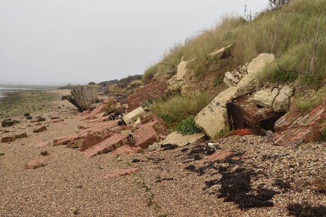
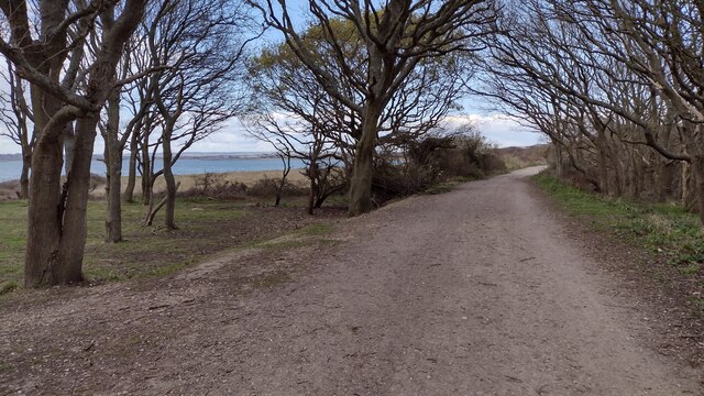
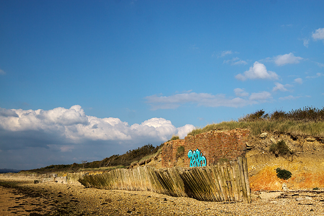
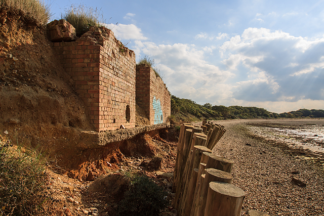
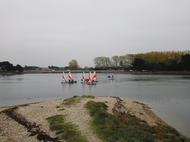
Situated along the Solent, a strait separating the Isle of Wight from the mainland, Cockle Rithe offers stunning views of the sea. The coastal area is known for its sandy beaches, which are perfect for sunbathing, picnicking, and leisurely walks. The clear blue waters are also ideal for swimming and various water sports like kayaking and paddleboarding.
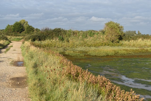
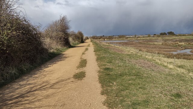
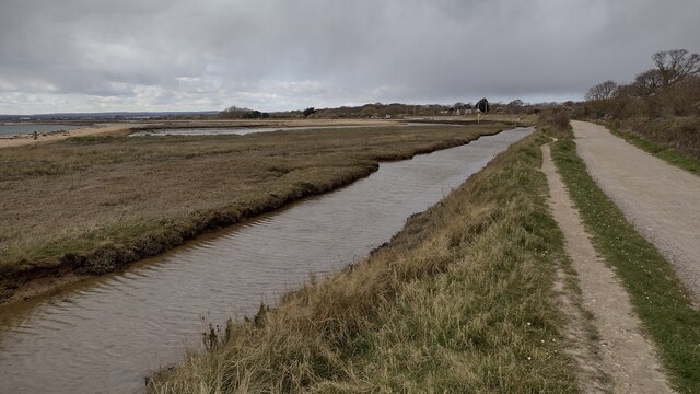
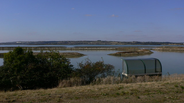
At Cockle Rithe, the sea meets the estuary of a river, creating a diverse ecosystem. The estuary provides a habitat for a wide variety of plants and animals, including migratory birds. Birdwatchers flock to this area to catch glimpses of rare species, especially during the annual migration season.
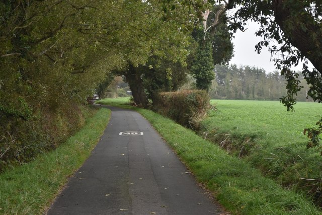
Additionally, Cockle Rithe boasts a tranquil creek that winds its way through the landscape. The creek is a haven for wildlife, such as crabs, fish, and other marine creatures. Visitors can explore the creek by boat or take a leisurely stroll along its banks, enjoying the peaceful atmosphere and abundant natural beauty.
Overall, Cockle Rithe offers a unique blend of sea, estuary, and creek, making it a haven for nature lovers and a perfect destination for those seeking a peaceful retreat in the heart of Hampshire.
If you have any feedback on the listing, please let us know in the comments section below.
Cockle Rithe Images
Images are sourced within 2km of 50.817409/-0.99486611 or Grid Reference SU7002. Thanks to Geograph Open Source API. All images are credited.


Cockle Rithe is located at Grid Ref: SU7002 (Lat: 50.817409, Lng: -0.99486611)
Administrative County: Hampshire
District: Havant
Police Authority: Hampshire
What 3 Words
///blizzard.distracts.drill. Near South Hayling, Hampshire
Nearby Locations
Related Wikis

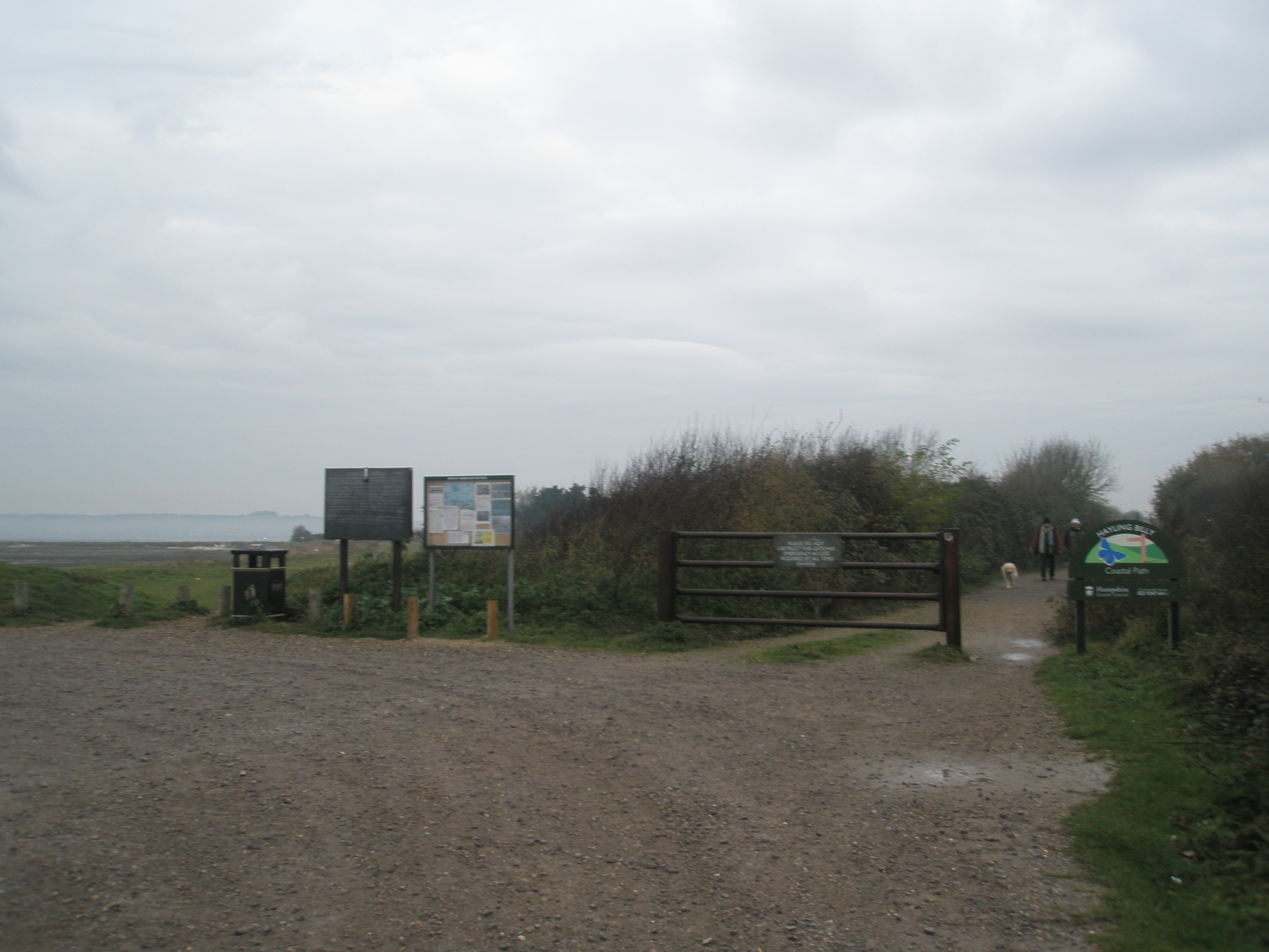
Hayling Billy
Hayling Billy is a 42-hectare (100-acre) Local Nature Reserve on Hayling Island in Hampshire. It is owned by Hampshire County Council and managed by Hampshire...

Langstone Harbour
Langstone Harbour is a 2,085.4-hectare (5,153-acre) biological Site of Special Scientific Interest in Hampshire. It is an inlet of the English Channel...
North Hayling railway station
North Hayling station was a halt on the single track Hayling Island branch, most often used to load oysters caught by local fishermen, but also ornithologists...

Stoke, Hayling Island
Stoke is a village on Hayling Island in the Havant district, in the county of Hampshire, England. The village lies on the Havant A3023 road between North...
Fleet, Hayling Island
Fleet is a hamlet near Stoke on Hayling Island in Hampshire, England. The hamlet lies approximately 5.1 miles (8.2 km) east from Portsmouth and 1.6 miles...
West Hayling
West Hayling is a 76.2-hectare (188-acre) Local Nature Reserve on Hayling Island in Hampshire. It is owned by Havant Borough Council and managed by the...

Havant (UK Parliament constituency)
Havant () is a constituency in Hampshire represented in the House of Commons of the UK Parliament since 2015 by Alan Mak, a member of the Conservative...

Staunton Way
The Staunton Way is a 20.5 mile recreational circular walk in Hampshire, southern England, that connects Queen Elizabeth Country Park to Staunton Country...
Nearby Amenities
Located within 500m of 50.817409,-0.99486611Have you been to Cockle Rithe?
Leave your review of Cockle Rithe below (or comments, questions and feedback).