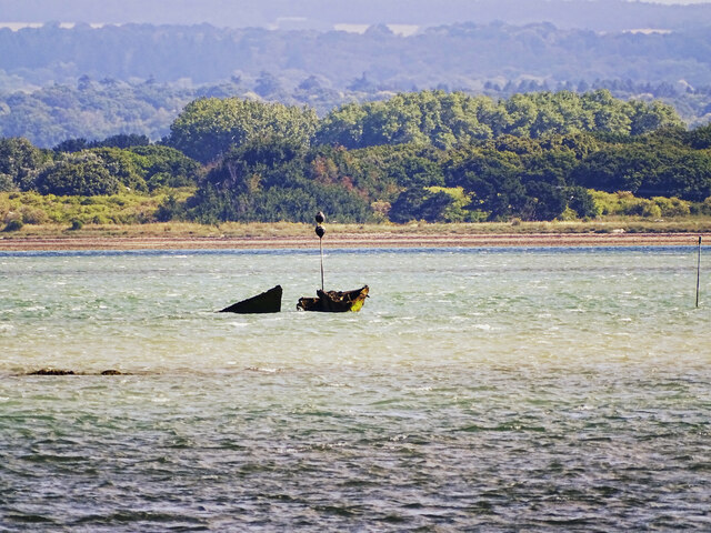
Goldring Lake

Sea, Estuary, Creek in Hampshire Havant

England

Goldring Lake

Groyne on Hayling beach
Groyne on Hayling beach Credit: Roger Cornfoot

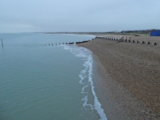
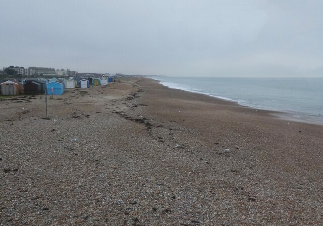
Goldring Lake is a picturesque body of water located in Hampshire, England. Situated near the coast, it is a unique combination of a sea, estuary, and creek. The lake is surrounded by stunning natural beauty, with lush greenery and rolling hills adding to its charm.

As a sea, Goldring Lake connects directly to the English Channel, providing a gateway to the vast ocean. Its proximity to the sea brings in tidal currents, making it an ideal spot for water activities such as sailing, boating, and fishing. The lake's expansive waters offer ample space for recreational pursuits, attracting both locals and tourists alike.

Goldring Lake also functions as an estuary, where freshwater from rivers and streams meets the saltwater from the sea. This merging of waters creates a unique ecosystem, supporting a diverse range of plant and animal species. The estuary provides an important breeding ground for various fish and bird species, making it a popular destination for birdwatchers and nature enthusiasts.

Furthermore, the lake features a creek, a narrow waterway that winds through the surrounding landscape. This creek offers opportunities for exploration and adventure, with its meandering path providing a tranquil and serene environment. Kayaking and paddleboarding are popular activities for visitors looking to immerse themselves in the natural beauty of the creek.

Overall, Goldring Lake in Hampshire offers a blend of sea, estuary, and creek experiences. Its stunning surroundings, diverse wildlife, and recreational opportunities make it a sought-after destination for those seeking a peaceful retreat or an adventurous outing.

If you have any feedback on the listing, please let us know in the comments section below.

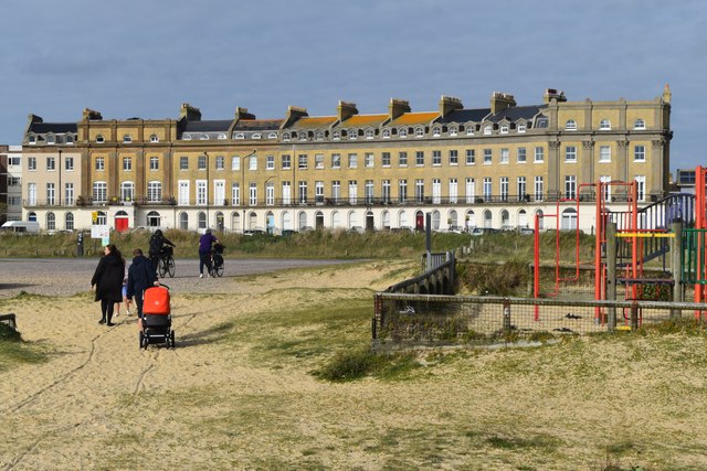
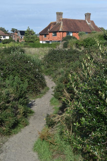
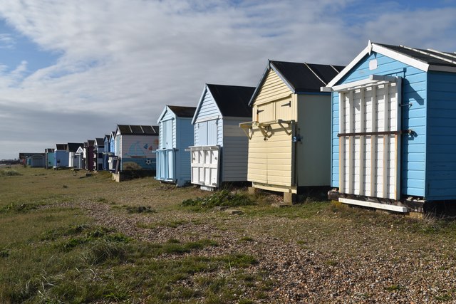
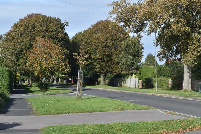
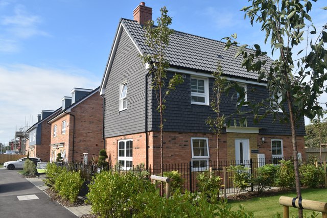
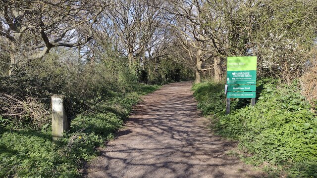
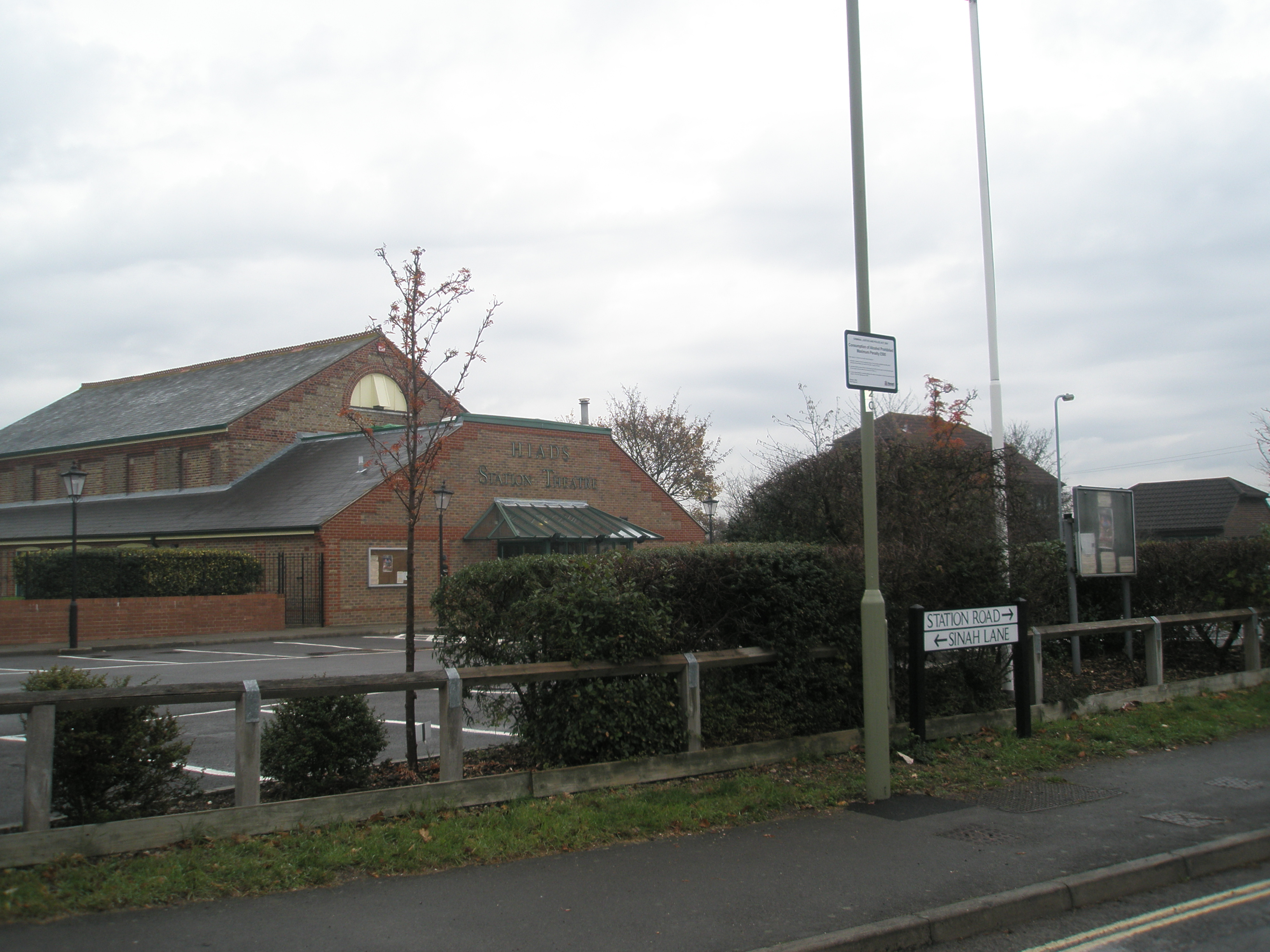
Goldring Lake Images

Images are sourced within 2km of 50.798387/-1.0103437 or Grid Reference SU6900. Thanks to Geograph Open Source API. All images are credited.

Groyne on Hayling beach
Public toilets at Hayling beach
Beach Huts, Hayling
Beach Huts, Hayling
Inn on the beach, Hayling
Crescent of terraced houses on Hayling seafront
Path through the dunes at Hayling
Beach huts on Hayling seafront
Staunton Avenue
Staunton Avenue
New housing west of the Hayling Billy route A substantial area of new housing is still under construction to the west of the former railway line.
New housing west of the Hayling Billy route
A substantial area of new housing is still under construction to the west of the former railway line.
Hayling Bill Line From Hayling the Hayling Billy Line path heading out North
Hayling Bill Line
From Hayling the Hayling Billy Line path heading out North
Beach Huts Beach Huts on the pebbly beach
Beach Huts
Beach Huts on the pebbly beach
Unidentified debris, Sinah Lake, Hayling Island The location of the debris is approximate. It is probably something left over from the second world war. It has been given a marker to minimise the risk of marine traffic colliding with it.
Unidentified debris, Sinah Lake, Hayling Island
The location of the debris is approximate. It is probably something left over from the second world war. It has been given a marker to minimise the risk of marine traffic colliding with it.
Coastal path on the western shore of Hayling Island This is not a public right of way but is a clearly marked and well-walked path.
Coastal path on the western shore of Hayling Island
This is not a public right of way but is a clearly marked and well-walked path.
Coastal path just north of Northshore Road This is not the marked coastal path or a public right of way.
Coastal path just north of Northshore Road
This is not the marked coastal path or a public right of way.
Hayling Billy Line Hayling Billy Line path heading past the turn to Saltmarsh Lane
Hayling Billy Line
Hayling Billy Line path heading past the turn to Saltmarsh Lane
Beach huts, Hayling Island Beach huts in the grasslands between the shingle beach and the Sea Front. The Inn On The Beach can be seen in the background.
Beach huts, Hayling Island
Beach huts in the grasslands between the shingle beach and the Sea Front. The Inn On The Beach can be seen in the background.
Beach huts, South Hayling A line of beach huts in the grasslands behind the shingle beach on Hayling Island.
Beach huts, South Hayling
A line of beach huts in the grasslands behind the shingle beach on Hayling Island.
Beach road, South Hayling The access road along the back of the beach at South Hayling. There are large areas of open grassland and scrub behind the shingle beach.
Beach road, South Hayling
The access road along the back of the beach at South Hayling. There are large areas of open grassland and scrub behind the shingle beach.
Show me another place!

Goldring Lake is located at Grid Ref: SU6900 (Lat: 50.798387, Lng: -1.0103437)

Administrative County: Hampshire

District: Havant

Police Authority: Hampshire

What 3 Words

///happy.clouds.outfit. Near South Hayling, Hampshire

Related Wikis

The Kench, Hayling Island

The Kench, Hayling Island is a 6-hectare (15-acre) Local Nature Reserve on Hayling Island in Hampshire. It is owned by Hampshire County Council and managed...

Sinah, Hayling Island

Sinah is the area at the southwestern end of Hayling Island. It incorporates the Ferrypoint, Sinah Beach, The Kench, Sinah Warren, and Sinah Common. It...

Hayling Island railway station

Hayling Island (called South Hayling until 1892) was a station on Hayling Island in southeastern Hampshire, England. It was opened for passengers in 1867...

Staunton Way

The Staunton Way is a 20.5 mile recreational circular walk in Hampshire, southern England, that connects Queen Elizabeth Country Park to Staunton Country...

Nearby Amenities

Located within 500m of 50.798387,-1.0103437
Remains of Hayling Billy railway embankment (original route)
Historic: archaeological_site
Lat/Long: 50.7973828/-1.0158444
Seamark Beacon Isolated Danger Colour: black;red;black
Seamark Beacon Isolated Danger Colour Pattern: horizontal
Seamark Beacon Isolated Danger Shape: stake
Seamark Topmark Colour: black
Seamark Topmark Shape: 2 spheres
Seamark Type: beacon_isolated_danger
Lat/Long: 50.8011579/-1.005013
Seamark Type: wreck
Seamark Wreck Category: hull_showing
Lat/Long: 50.8009782/-1.004557
Seamark Buoy Special Purpose Colour: yellow
Seamark Buoy Special Purpose Shape: spherical
Seamark Type: buoy_special_purpose
Lat/Long: 50.8007138/-1.0077703
Seamark Type: wreck
Seamark Wreck Category: hull_showing
Lat/Long: 50.796089/-1.0157633
The data included in this document is from www.openstreetmap.org. The data is made available under ODbL.

Have you been to Goldring Lake?

Leave your review of Goldring Lake below (or comments, questions and feedback).