Filla Wick
Sea, Estuary, Creek in Shetland
Scotland
Filla Wick

Filla Wick is a small coastal inlet located on the east coast of Shetland, an archipelago in the Northern Isles of Scotland. It is classified as a sea, estuary, and creek due to its unique geographical features and the presence of tidal movements.
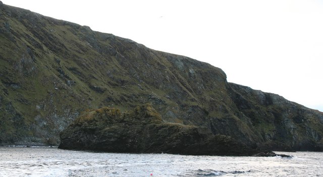
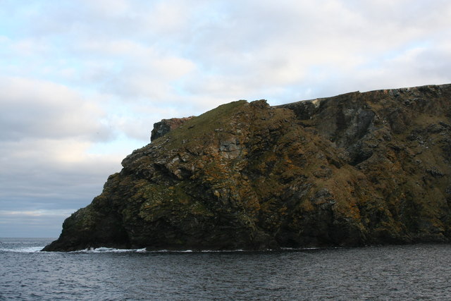
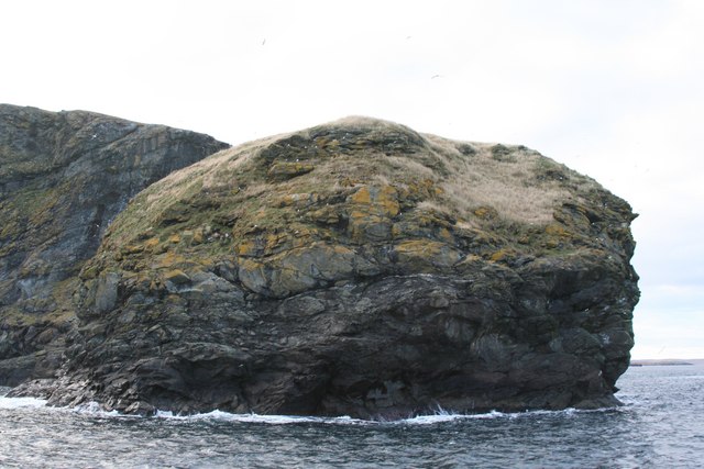
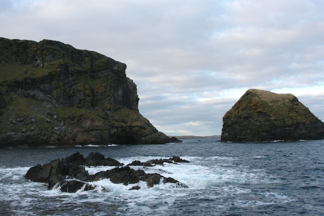
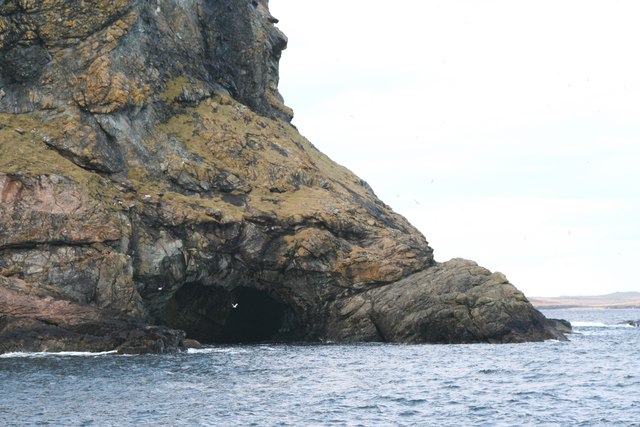
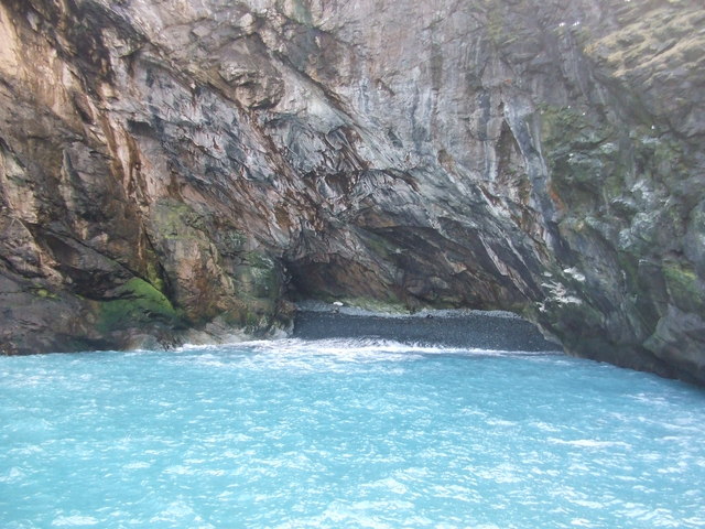
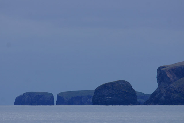
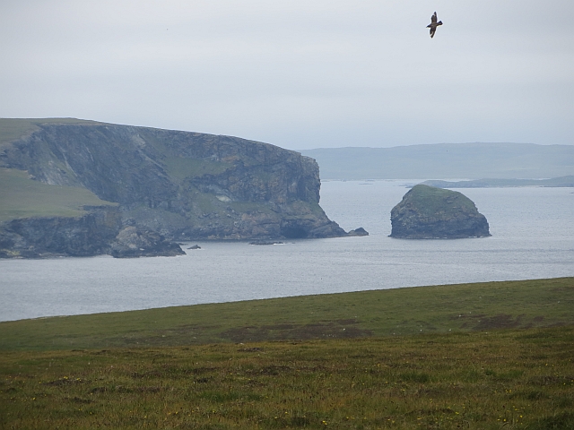
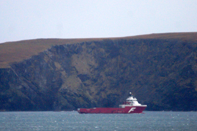
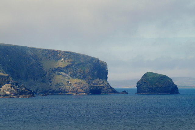
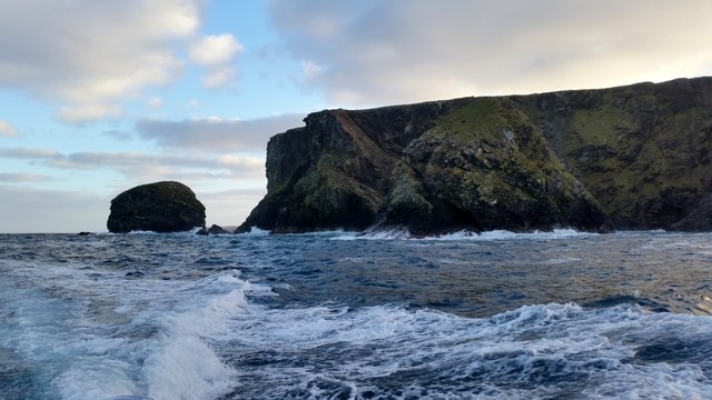
Situated between the villages of Cunningsburgh and Quarff, Filla Wick is characterized by its narrow entrance and sheltered waters. The inlet stretches approximately 1 kilometer inland and opens up into a small basin, surrounded by rocky cliffs and rolling green hills. The area is rich in marine life, with various species of fish, seabirds, and seals calling it home.
The tides play a crucial role in Filla Wick, causing significant fluctuations in water levels throughout the day. During high tide, the water reaches its peak, covering most of the creek and allowing boats to navigate freely. At low tide, the water recedes, revealing vast expanses of intertidal mudflats and rocky outcrops, which create an ideal habitat for wading birds and marine organisms.
Filla Wick offers picturesque views of the surrounding landscape, with its rugged coastline, towering cliffs, and vibrant flora. It is a popular spot for nature enthusiasts, birdwatchers, and photographers, who are drawn to its tranquil atmosphere and natural beauty.
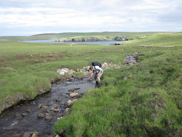
Access to Filla Wick is primarily by foot, with walking paths leading to viewpoints overlooking the inlet. Visitors can also explore the area from the water by kayaking or boating, taking in the stunning scenery and observing the diverse wildlife.
Overall, Filla Wick is a captivating coastal feature in Shetland, offering a unique blend of marine and terrestrial environments, making it a haven for both wildlife and nature enthusiasts alike.
If you have any feedback on the listing, please let us know in the comments section below.
Filla Wick Images
Images are sourced within 2km of 60.624325/-0.82823492 or Grid Reference HU6494. Thanks to Geograph Open Source API. All images are credited.


Filla Wick is located at Grid Ref: HU6494 (Lat: 60.624325, Lng: -0.82823492)
Unitary Authority: Shetland Islands
Police Authority: Highlands and Islands
What 3 Words
///blanking.flush.jars. Near Houbie, Shetland Islands
Nearby Locations
Related Wikis

Funzie Girt
Funzie Girt (; Scots: Funyie Girt "Finns' dyke") is an ancient dividing wall that was erected from north to south across the island of Fetlar in Shetland...

Haltadans
Haltadans, also known as Fairy Ring or Haltadans stone circle, is a stone circle on the island of Fetlar in Shetland, Scotland. This site is a ring of...

Fetlar
Fetlar (Scots: Fetlar) is one of the North Isles of Shetland, Scotland, with a usually resident population of 61 at the time of the 2011 census. Its main...

Haaf Gruney
Haaf Gruney is a small island in the north east of the Shetland Islands. == Geography and geology == The island is between Unst and Fetlar which are to...

Urie Lingey
For other islands with similar names, see Linga (disambiguation) Urie Lingey is one of the Shetland Islands. It is between Fetlar and Unst, and Yell is...

Hamars Ness
Hamars Ness is a headland on the island of Fetlar in Shetland, Scotland. The name is from the Old Norse Hamarsnes meaning "craggy headland". A ro-ro ferry...

Uyea, Unst
Uyea (Scots: Uyea) is an uninhabited island, lying south of Unst in Shetland, Scotland. == History == The island was inhabited as early as the Bronze Age...

Brough Lodge
Brough Lodge is a 19th-century Gothic mansion on Fetlar, one of the Shetland Islands, in northern Scotland. Built by the Nicolson family, who were responsible...
Have you been to Filla Wick?
Leave your review of Filla Wick below (or comments, questions and feedback).