Llangwm
Settlement in Denbighshire
Wales
Llangwm
The requested URL returned error: 429 Too Many Requests
If you have any feedback on the listing, please let us know in the comments section below.
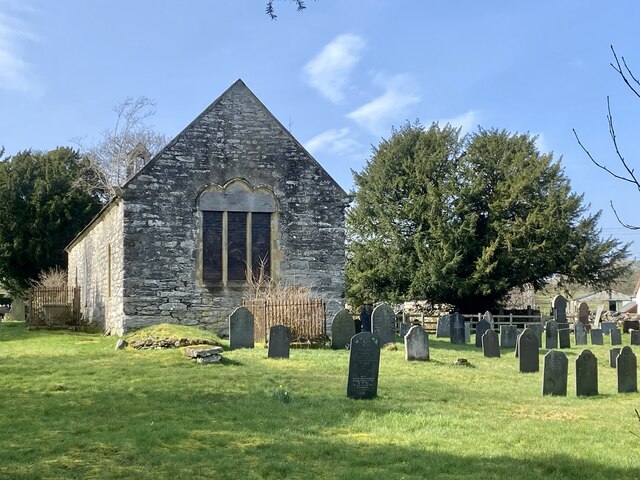
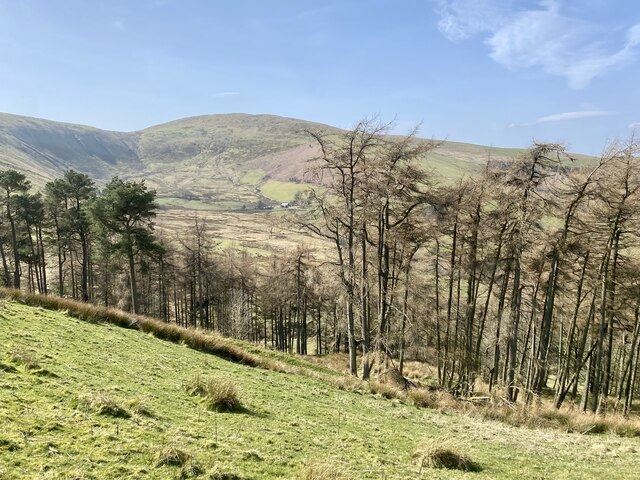
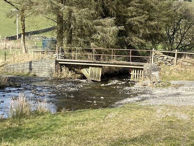
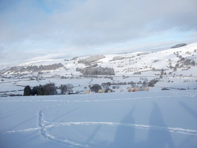
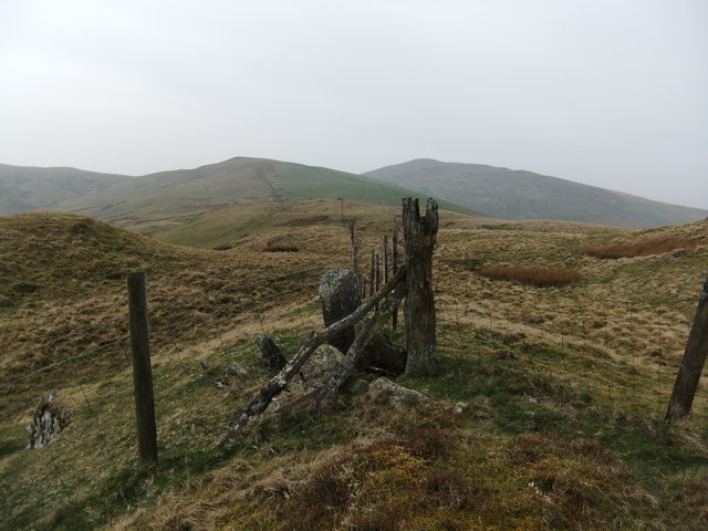
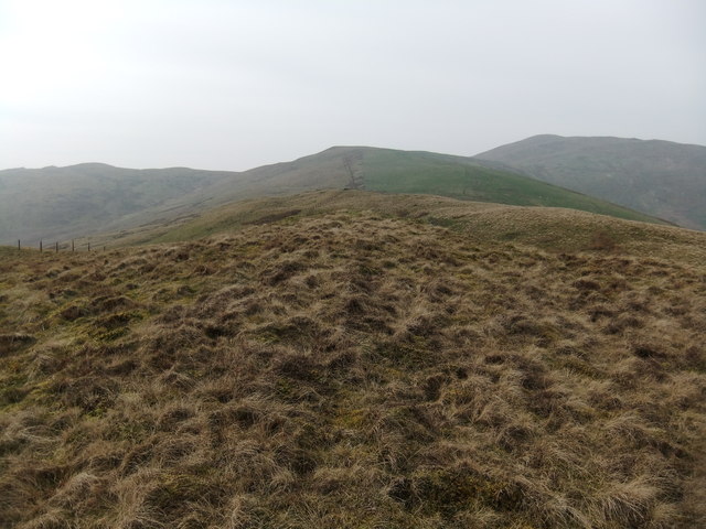
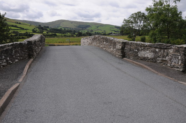
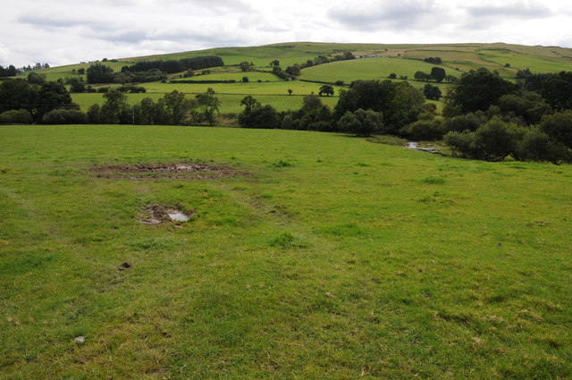
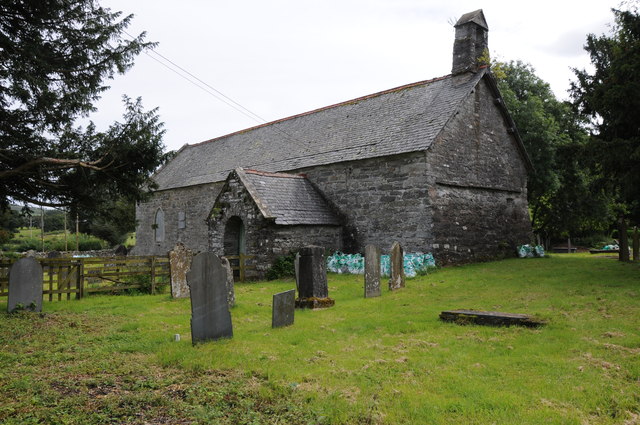
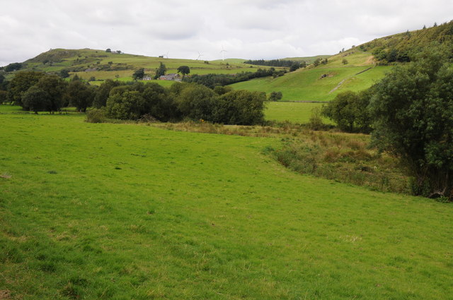
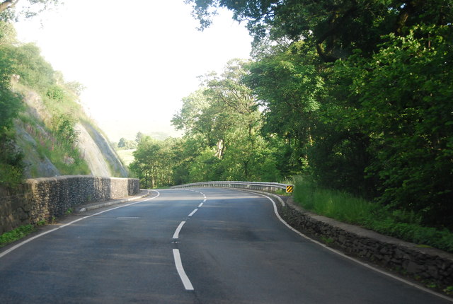
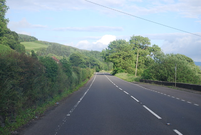
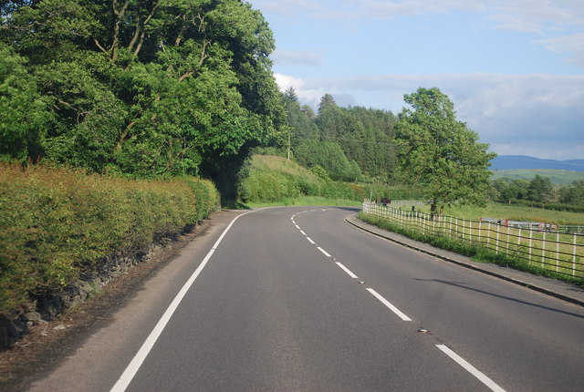
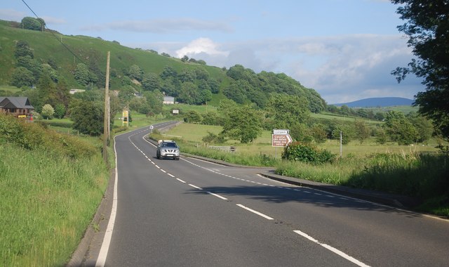
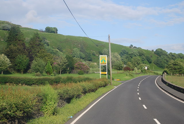
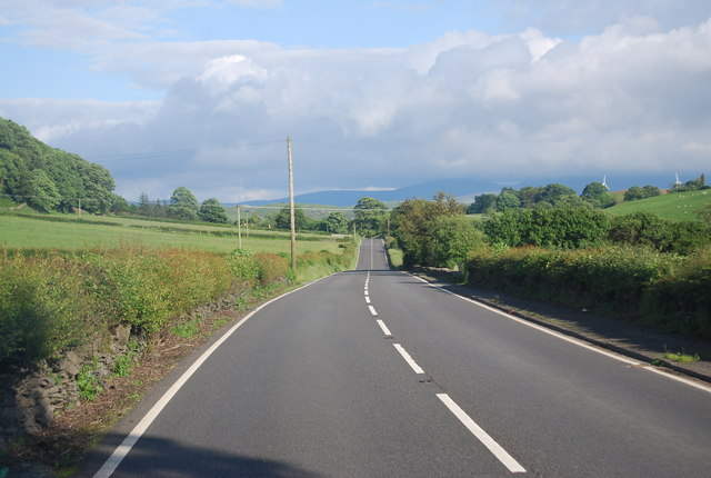
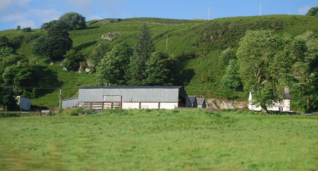
Llangwm Images
Images are sourced within 2km of 52.989056/-3.541269 or Grid Reference SH9644. Thanks to Geograph Open Source API. All images are credited.

Llangwm is located at Grid Ref: SH9644 (Lat: 52.989056, Lng: -3.541269)
Unitary Authority: Conwy
Police Authority: North Wales
What 3 Words
///veal.volunteered.shrug. Near Llangwm, Conwy
Related Wikis

Llangwm, Conwy
Llangwm is a village and community in Conwy County Borough, in Wales. It is located in the valley of the Afon Medrad, close to the borders with Denbighshire...

Uwchaled Rural District
Uwchaled (from Uwch Aled) was a rural district in the administrative county of Denbighshire, Wales, from 1894 to 1935. The name denoted the upper reaches...

Meirionnydd Nant Conwy (Assembly constituency)
Meirionnydd Nant Conwy was a constituency of the National Assembly for Wales between 1999 and 2007. It elected one Assembly Member by the first past the...

Cerrigydrudion
Cerrigydrudion, sometimes spelt Cerrig-y-drudion, () is a village and community in Conwy, Wales. Until 1974 it was part of the historic county Denbighshire...
Nearby Amenities
Located within 500m of 52.989056,-3.541269Have you been to Llangwm?
Leave your review of Llangwm below (or comments, questions and feedback).