Grunna Voe
Sea, Estuary, Creek in Shetland
Scotland
Grunna Voe
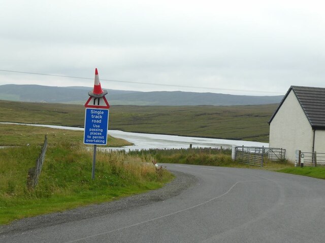
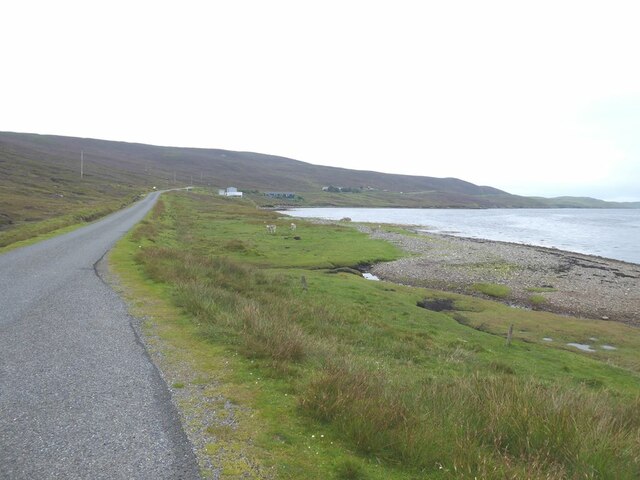
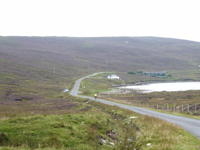
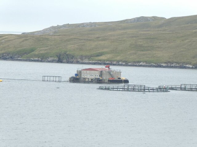
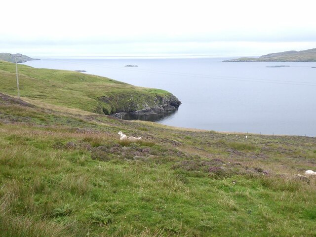
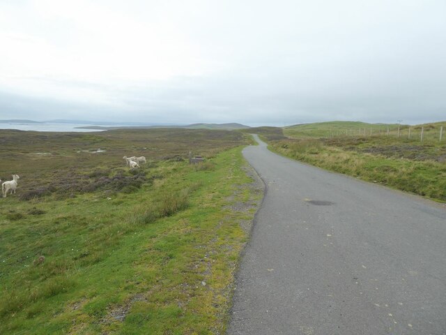
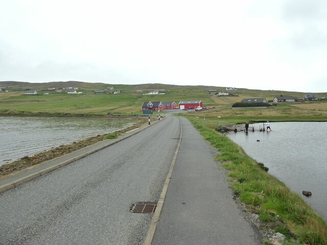
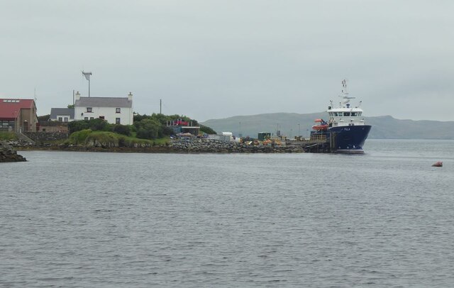
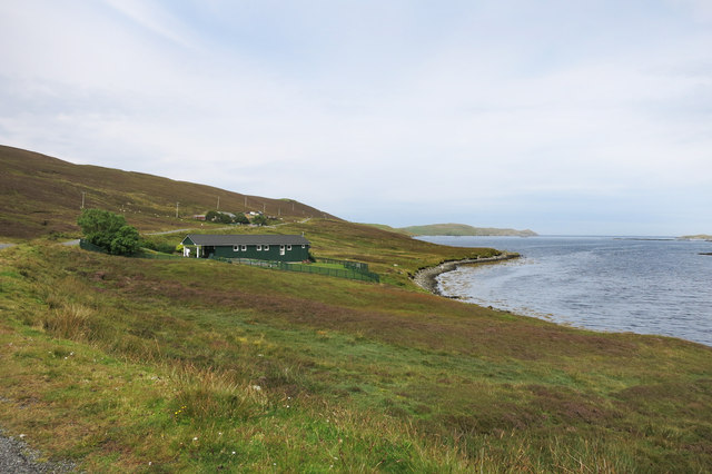
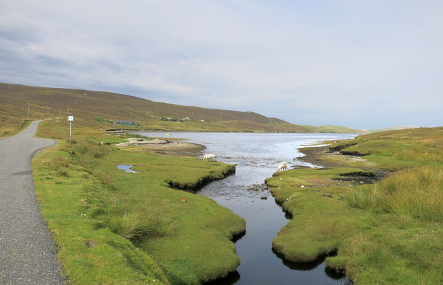
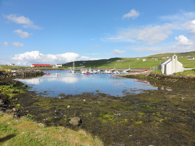
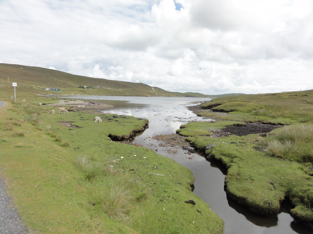
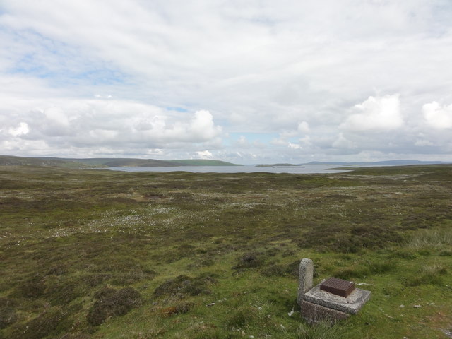
Grunna Voe is a picturesque sea inlet located on the east coast of the Shetland Islands in Scotland. It is a stunning example of a natural estuary, nestled between rolling hills and rugged cliffs. The Voe, as it is locally known, stretches approximately 4 kilometers inland, forming a deep and sheltered creek that is a haven for various marine life.
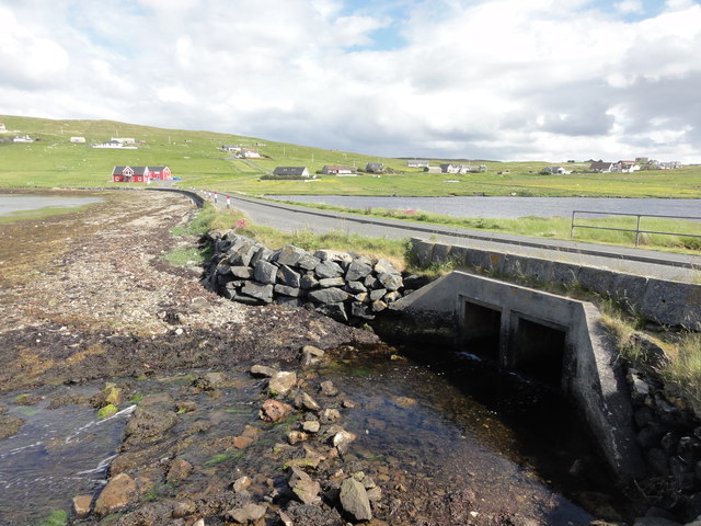
The waters of Grunna Voe are a mesmerizing blend of deep blues and greens, reflecting the ever-changing sky above. The inlet is influenced by the tidal movements of the North Sea, resulting in a fluctuating water level that adds to its dynamic character. During high tide, the Voe becomes an expansive body of water, while at low tide, vast mudflats are exposed, creating an important feeding ground for wading birds.
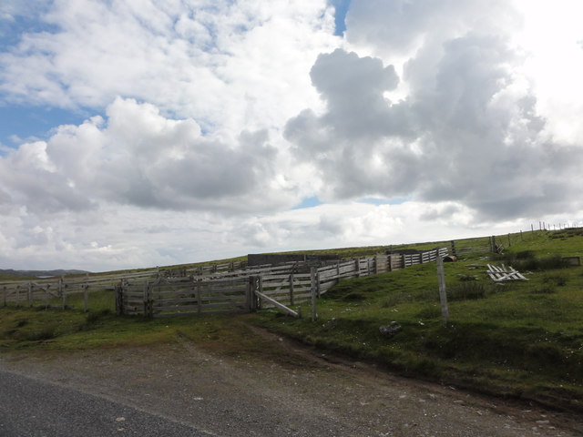
The surrounding landscape of Grunna Voe is a combination of grassy meadows and rocky shores, providing a diverse habitat for both terrestrial and marine fauna. Seals can often be spotted basking on the exposed rocks, while seabirds, such as puffins and kittiwakes, nest in the cliffs during the summer months.
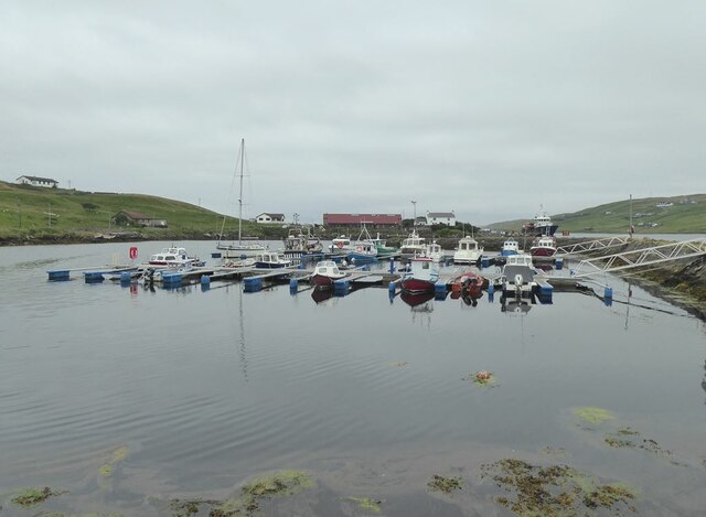
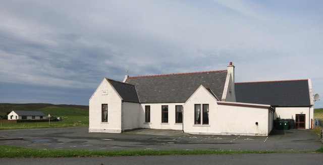
Grunna Voe also holds historical significance, as it was once a hub for the local fishing industry. Remnants of old fishing huts and boatyards can still be seen along the shoreline, serving as a reminder of the area's maritime heritage.
Overall, Grunna Voe is a breathtaking natural feature that showcases the beauty and diversity of the Shetland Islands. It provides a tranquil escape for visitors, offering opportunities for coastal walks, birdwatching, and simply appreciating the raw beauty of this unspoiled corner of Scotland.
If you have any feedback on the listing, please let us know in the comments section below.
Grunna Voe Images
Images are sourced within 2km of 60.382987/-1.1384968 or Grid Reference HU4766. Thanks to Geograph Open Source API. All images are credited.
Grunna Voe is located at Grid Ref: HU4766 (Lat: 60.382987, Lng: -1.1384968)
Unitary Authority: Shetland Islands
Police Authority: Highlands and Islands
What 3 Words
///passports.grumbles.debating. Near Vidlin, Shetland Islands
Nearby Locations
Related Wikis

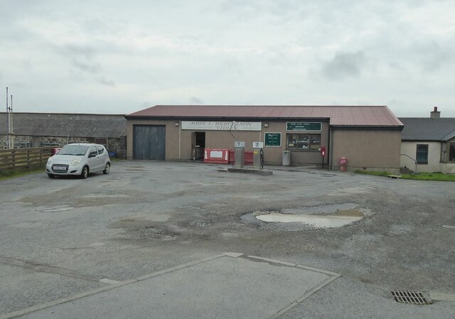
Vidlin
Vidlin (from Old Norse: Vaðill meaning a ford) is a small village located on Mainland, Shetland, Scotland. The settlement is within the parish of Nesting...

Lunna House
Lunna House is a 17th-century laird's house on Lunna Ness in the Shetland Islands. Lunna House is noted for having "the best historic designed landscape...

Laxo
Laxo is a small settlement at the end of Laxo Voe in Vidlin, Shetland, Scotland. A ferry from the Mainland to Symbister in Whalsay operates from the nearby...

Little Linga
Little Linga is a small island in the Shetland Islands. It is near West Linga and Vidlin on Mainland, Shetland. It is 20 metres (66 ft) at its highest...

Lunna Ness
Lunna Ness is a peninsula in the north east of Mainland, Shetland, Scotland , in the parish of Lunnasting near Vidlin. The island of Lunna Holm is nearby...

West Linga
West Linga is an uninhabited island located between Mainland and Whalsay in Shetland, Scotland. == Geography and geology == West Linga is a long narrow...
Linga, Yell Sound
Linga is one of the Shetland Islands, in Yell Sound. == Geography and geology == Linga is an extremely common name in Shetland, meaning heather island...

Billister
Billister is a settlement in the parish of Nesting, on the island of Mainland, in Shetland, Scotland. It is on Lax Firth. Billister was formerly the terminal...
Nearby Amenities
Located within 500m of 60.382987,-1.1384968Have you been to Grunna Voe?
Leave your review of Grunna Voe below (or comments, questions and feedback).