Vidlin Ness

Coastal Feature, Headland, Point in Shetland

Scotland

Vidlin Ness

Village store and filling station The trading premises of John I Herculson of Vidlin.
Village store and filling station Credit: Oliver Dixon

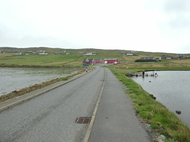
Vidlin Ness is a prominent coastal feature located on the northeastern coast of the Shetland Islands, Scotland. It is a headland or point that juts out into the North Sea, offering stunning views of the surrounding landscape.

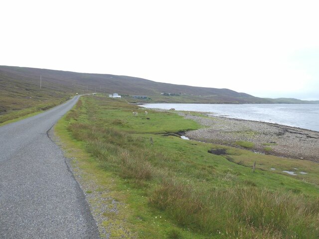
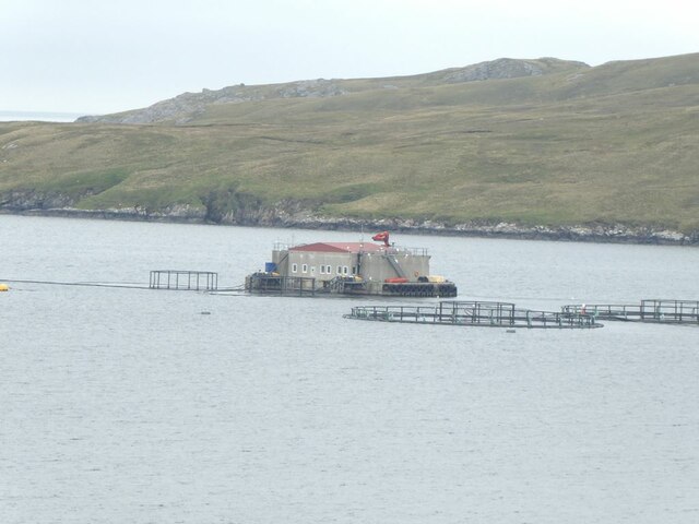
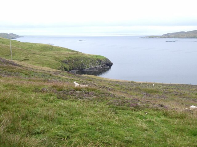
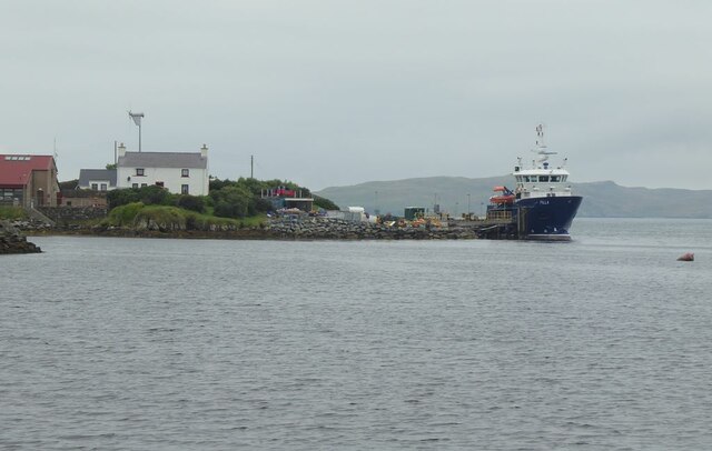
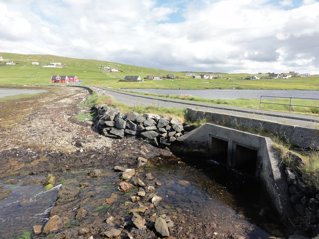
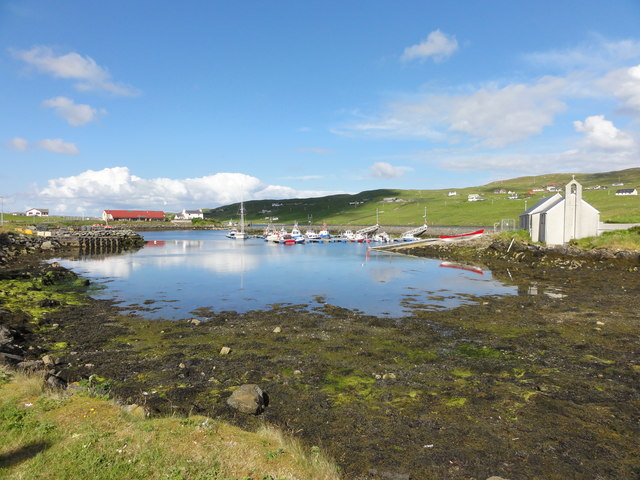
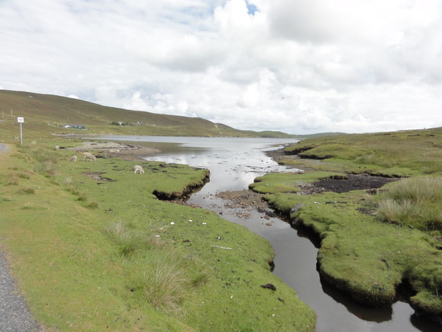
Situated approximately 12 miles northeast of the town of Lerwick, Vidlin Ness is known for its rugged and picturesque beauty. The headland is characterized by steep cliffs that are formed from layers of sedimentary rock, providing a striking contrast against the deep blue waters of the sea. The area is also home to a variety of seabirds, including puffins, fulmars, and guillemots, making it a popular spot for birdwatchers and nature enthusiasts.

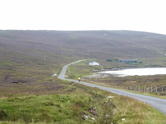
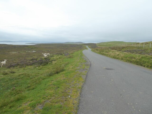
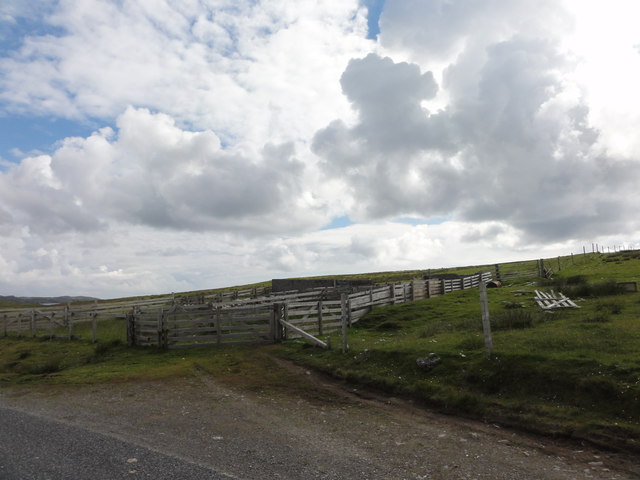
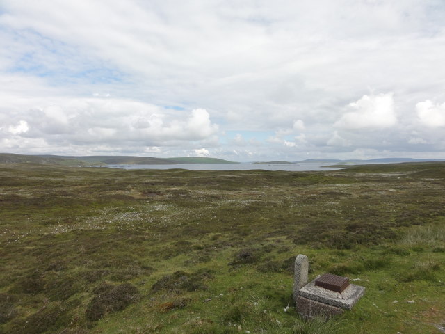
Vidlin Ness is easily accessible by road, with a small parking area available for visitors. From there, a short walk leads to the edge of the headland, where visitors can take in the breathtaking panoramic views of the coastline and the surrounding islands. On a clear day, it is even possible to see as far as the distant island of Mousa.

The headland also holds historical significance, with remnants of old settlements and structures dating back to the Iron Age. These archaeological sites add an extra layer of interest and intrigue to Vidlin Ness, making it a destination not only for natural beauty but also for history buffs.

Overall, Vidlin Ness is a must-visit coastal feature in Shetland, offering a blend of stunning scenery, abundant wildlife, and a glimpse into the island's rich past.

If you have any feedback on the listing, please let us know in the comments section below.
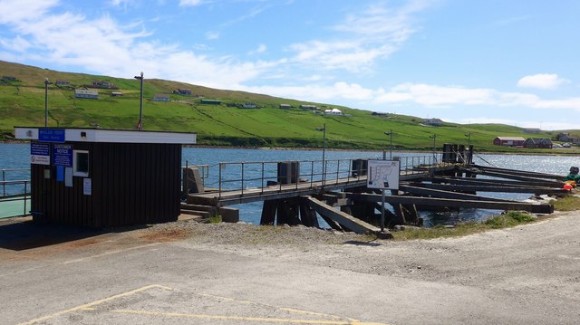
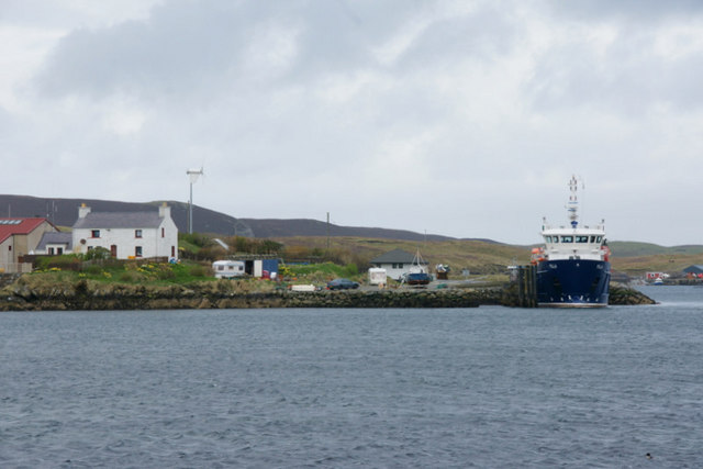
Vidlin Ness Images

Images are sourced within 2km of 60.38105/-1.1333605 or Grid Reference HU4766. Thanks to Geograph Open Source API. All images are credited.

Village store and filling station The trading premises of John I Herculson of Vidlin.
Village store and filling station
The trading premises of John I Herculson of Vidlin.
The road to Laxo B9071 at Vidlin. Kirkhouse Loch in the background.
The road to Laxo
B9071 at Vidlin. Kirkhouse Loch in the background.
Vidlin Marina The most distant boat, moored outside the Marina in Vidlin Voe, appears to be the Out Skerries ferry.
Vidlin Marina
The most distant boat, moored outside the Marina in Vidlin Voe, appears to be the Out Skerries ferry.
The road past Grunna Voe
Fish farm in Vidlin Voe The fish farm in Vidlin Voe appears to include a very substantial building.
Fish farm in Vidlin Voe
The fish farm in Vidlin Voe appears to include a very substantial building.
Mouth of Vidlin Voe
Mouth of Vidlin Voe
The road to Lunna
The road to Lunna
Causeway to Gillsbreck Road linking Vidlin with Gillsbreck and other townships on the east side of Vilin Voe.
Causeway to Gillsbreck
Road linking Vidlin with Gillsbreck and other townships on the east side of Vilin Voe.
MV Filla at Quee Ness The Outskerries ferry moored at Vidlin.
MV Filla at Quee Ness
The Outskerries ferry moored at Vidlin.
Vidlin road bridge Small bridge over the estuary at Vidlin
Vidlin road bridge
Small bridge over the estuary at Vidlin
Harbour at Vidlin Harbour at Vidlin with the Church and Marina.
Harbour at Vidlin
Harbour at Vidlin with the Church and Marina.
Sheep pens Sheep pens at Vidlin
Sheep pens
Sheep pens at Vidlin
Grunna Voe View from the road across Grunna Voe
Grunna Voe
View from the road across Grunna Voe
Road to Luna View across moorland on the road to Luna.
Road to Luna
View across moorland on the road to Luna.
The marina at Vidlin Shetlanders are described as 'fishermen with crofts' whereas Orkadians are 'farmers with a boat'.  On Shetland there are boats everywhere and there has been heavy investment in marinas and safe harbours.  There must be more boats per head of population in Shetland than anywhere else in the UK.
The marina at Vidlin
Shetlanders are described as 'fishermen with crofts' whereas Orkadians are 'farmers with a boat'. On Shetland there are boats everywhere and there has been heavy investment in marinas and safe harbours. There must be more boats per head of population in Shetland than anywhere else in the UK.
Quee Ness Pier This is the Shetland Mainland base for the daily ferry to Out Skerries;  another ferry runs twice a week to Out Skerries from Lerwick.
Quee Ness Pier
This is the Shetland Mainland base for the daily ferry to Out Skerries; another ferry runs twice a week to Out Skerries from Lerwick.
MV Filla at Vidlin The Filla operates the Out Skerries ferry service.
MV Filla at Vidlin
The Filla operates the Out Skerries ferry service.
Show me another place!

Vidlin Ness is located at Grid Ref: HU4766 (Lat: 60.38105, Lng: -1.1333605)

Unitary Authority: Shetland Islands

Police Authority: Highlands and Islands

What 3 Words

///daunting.veered.uttering. Near Vidlin, Shetland Islands

Related Wikis

Vidlin

Vidlin (from Old Norse: VaĆ°ill meaning a ford) is a small village located on Mainland, Shetland, Scotland. The settlement is within the parish of Nesting...

Lunna House

Lunna House is a 17th-century laird's house on Lunna Ness in the Shetland Islands. Lunna House is noted for having "the best historic designed landscape...

Laxo

Laxo is a small settlement at the end of Laxo Voe in Vidlin, Shetland, Scotland. A ferry from the Mainland to Symbister in Whalsay operates from the nearby...

Little Linga

Little Linga is a small island in the Shetland Islands. It is near West Linga and Vidlin on Mainland, Shetland. It is 20 metres (66 ft) at its highest...

Nearby Amenities

Located within 500m of 60.38105,-1.1333605
Barrier: cattle_grid
Lat/Long: 60.3770528/-1.1373768
Barrier: cattle_grid
Lat/Long: 60.37847/-1.134936
Power: pole
Lat/Long: 60.380576/-1.1418332
Power: pole
Lat/Long: 60.3813129/-1.1415908
Power: pole
Lat/Long: 60.3819384/-1.1419948
Power: pole
Lat/Long: 60.3799044/-1.1306841
Power: pole
Lat/Long: 60.3796201/-1.1316193
Power: pole
Lat/Long: 60.3792329/-1.1328654
Power: pole
Lat/Long: 60.3785661/-1.133289
Power: pole
Lat/Long: 60.377886/-1.1337272
Power: pole
Lat/Long: 60.3772084/-1.1341434
The data included in this document is from www.openstreetmap.org. The data is made available under ODbL.

Have you been to Vidlin Ness?

Leave your review of Vidlin Ness below (or comments, questions and feedback).