Ay Wick
Sea, Estuary, Creek in Shetland
Scotland
Ay Wick

Ay Wick is a picturesque coastal feature located in the Shetland Islands, an archipelago situated off the north coast of mainland Scotland. It is a small sea inlet, also known as a creek or estuary, that provides a natural harbor for fishing boats and other small watercraft. The name "Ay Wick" is derived from the Old Norse word "vík," meaning a bay or inlet.
Situated on the east coast of the Shetland Mainland, Ay Wick is surrounded by rugged cliffs and rolling hills, offering breathtaking views of the North Sea. It is characterized by its narrow entrance, which opens up into a sheltered basin, providing protection from the strong currents and waves of the open sea. The creek is only accessible during high tide, as the shallow water can become impassable at low tide.
Ay Wick is a popular spot for fishing, both recreationally and commercially. The area is teeming with a variety of fish species, including cod, haddock, and mackerel, attracting anglers from all over the region. The creek is also home to an abundance of marine life, such as seals and seabirds, adding to its natural beauty and charm.
Aside from its fishing activities, Ay Wick is a haven for wildlife enthusiasts and nature lovers. The surrounding cliffs provide nesting sites for seabird colonies, including puffins, guillemots, and razorbills. Visitors can enjoy scenic walks along the coastline, taking in the stunning panoramic views and observing the diverse flora and fauna.
In conclusion, Ay Wick is a picturesque sea inlet in Shetland, offering a tranquil and scenic setting for fishing, wildlife watching, and exploration of the natural beauty of the area.
If you have any feedback on the listing, please let us know in the comments section below.
Ay Wick Images
Images are sourced within 2km of 60.483878/-1.2506526 or Grid Reference HU4178. Thanks to Geograph Open Source API. All images are credited.


Ay Wick is located at Grid Ref: HU4178 (Lat: 60.483878, Lng: -1.2506526)
Unitary Authority: Shetland Islands
Police Authority: Highlands and Islands
What 3 Words
///boom.diplomats.messed. Near Toft, Shetland Islands
Nearby Locations
Related Wikis

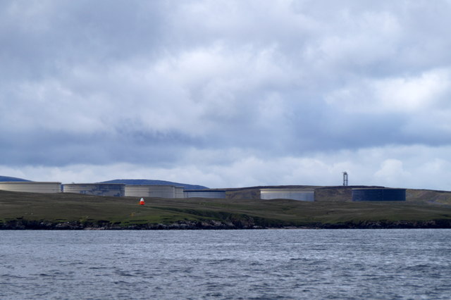
Shetland Gas Plant
The Shetland Gas Plant is a natural-gas processing plant in the Shetland Islands, Scotland. == History == The site is the collection point for the Laggan...

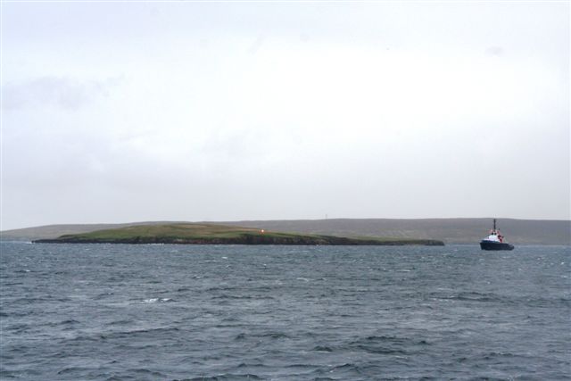
Little Roe
Little Roe is an island in Yell Sound in the Shetland Islands == History == The island's name is Norse in origin, from Rauðey Litla, meaning "small red...
RAF Sullom Voe
Royal Air Force Sullom Voe or more simply RAF Sullom Voe is a former Royal Air Force station near the village of Brae, in the Shetland Isles of Scotland...

Sullom Voe Terminal
The Sullom Voe Terminal is an oil and gas terminal at Sullom Voe in the Shetland Islands of Scotland. It handles production from oilfields in the North...

Toft, Shetland
Toft is a ferry port approximately one mile north of Mossbank on Mainland, Shetland, Scotland. From here, a car ferry service to Ulsta on the island of...

Bigga, Shetland
Bigga is an uninhabited island in the Yell Sound between the Mainland and Yell in Shetland, Scotland. == Geography and geology == Just over 1,000 metres...

Brother Isle
Brother Isle (Old Norse: breiðare øy meaning broad beach island) is a small, uninhabited island in Shetland, Scotland. It lies between the islands of Yell...
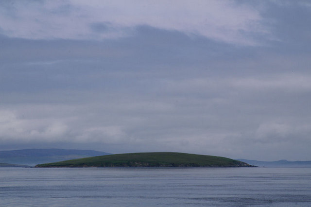
Uynarey
Uynarey is one of the Shetland islands in Yell Sound, just to the north of Bigga, and east of Brother Island. It is an RSPB reserve. The name comes from...
Have you been to Ay Wick?
Leave your review of Ay Wick below (or comments, questions and feedback).