Corbies' Hole
Sea, Estuary, Creek in Aberdeenshire
Scotland
Corbies' Hole
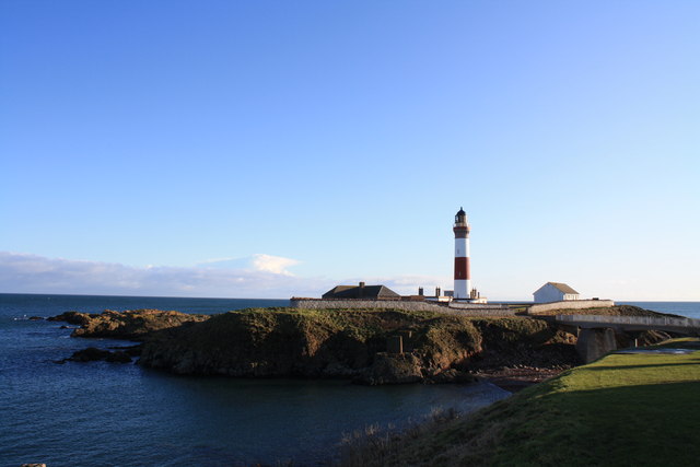
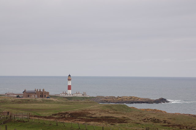
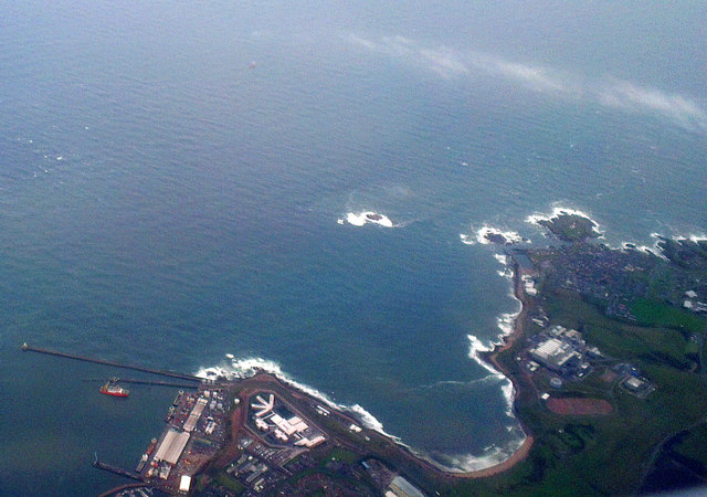
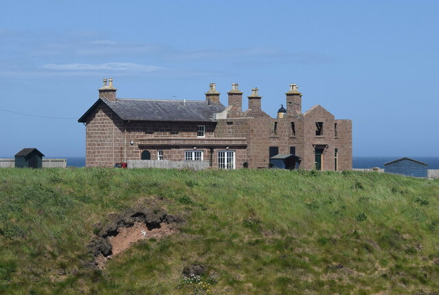
Corbies' Hole is a prominent feature located in Aberdeenshire, Scotland. This natural formation is a sea inlet that stretches inland, forming an estuary and creek. It is situated on the northeastern coast of Scotland, near the village of Cruden Bay.
The name "Corbies' Hole" is derived from the Old Scots term "corbie," meaning a crow or raven, and "hole," which refers to a hollow or cavity. This name reflects the area's association with the presence of crows and ravens, which are commonly seen in the region.
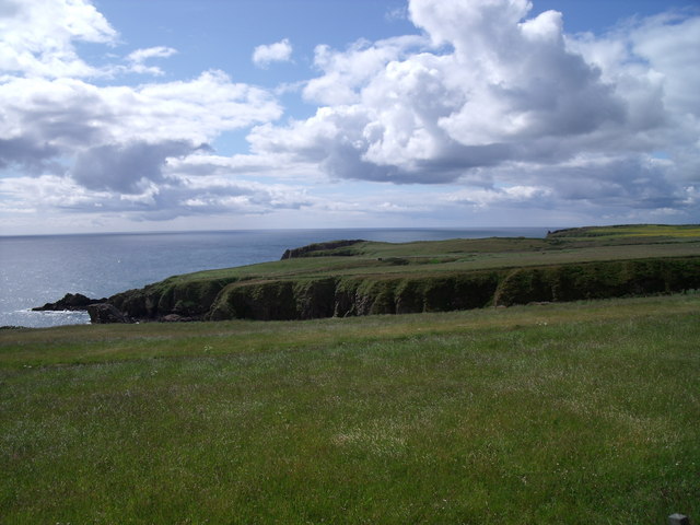
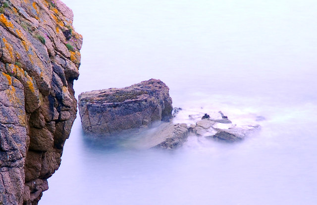
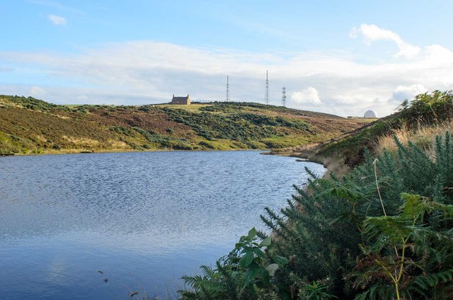
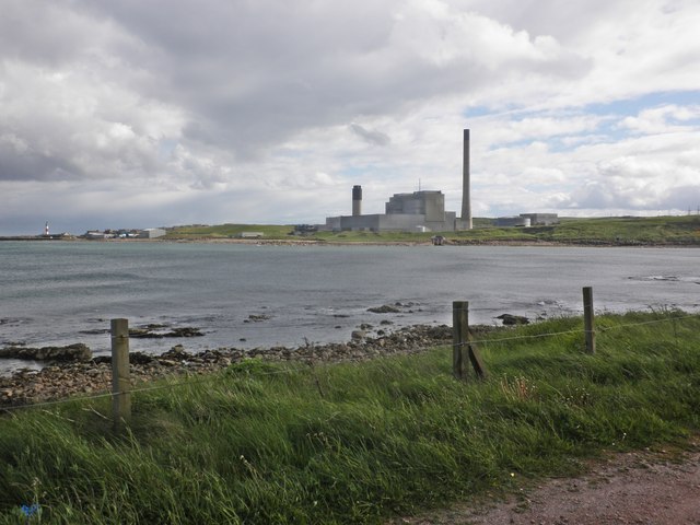
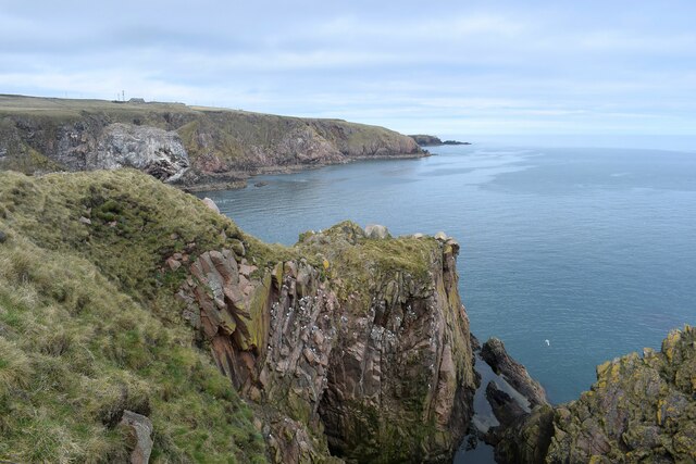
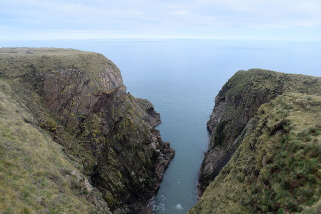
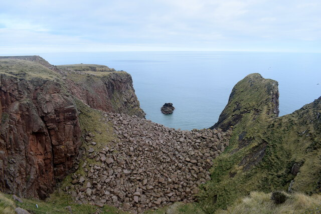
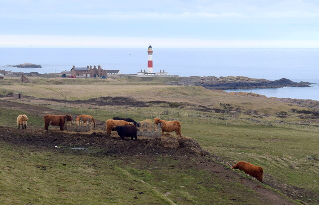
The inlet is characterized by its picturesque and rugged coastline, with steep cliffs and rocky outcrops. The surrounding landscape is rich in diverse flora and fauna, attracting nature enthusiasts and birdwatchers alike. The estuary of Corbies' Hole is known for its tidal movements, creating a dynamic ecosystem that is home to various marine and avian species.
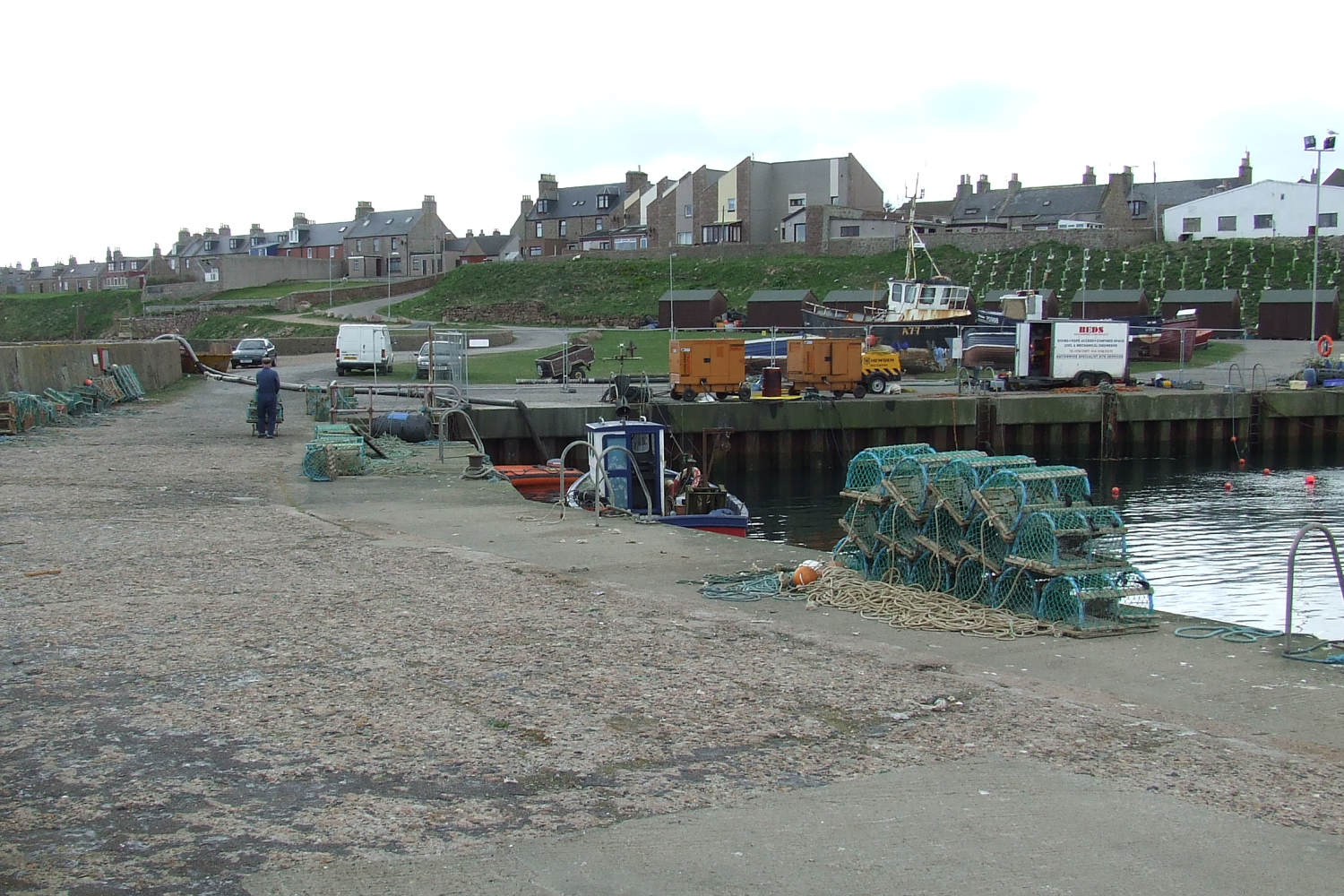
The creek within Corbies' Hole offers opportunities for recreational activities such as fishing and boating. Anglers can be found casting their lines in search of a variety of fish species that inhabit the area, including cod, mackerel, and haddock.
Corbies' Hole is also of historical significance, as it was once a strategic location for maritime trade. The area has witnessed the presence of ancient settlements, with archaeological finds suggesting human habitation dating back thousands of years.
With its captivating beauty, ecological importance, and historical significance, Corbies' Hole stands as a remarkable natural feature in Aberdeenshire that attracts both locals and visitors seeking to experience the enchantment of Scotland's coastal landscapes.
If you have any feedback on the listing, please let us know in the comments section below.
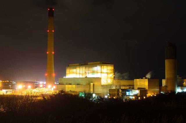
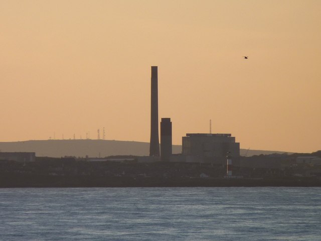
Corbies' Hole Images
Images are sourced within 2km of 57.465889/-1.7801594 or Grid Reference NK1341. Thanks to Geograph Open Source API. All images are credited.

Corbies' Hole is located at Grid Ref: NK1341 (Lat: 57.465889, Lng: -1.7801594)
Unitary Authority: Aberdeenshire
Police Authority: North East
What 3 Words
///birdcage.journey.mountain. Near Boddam, Aberdeenshire
Nearby Locations
Related Wikis

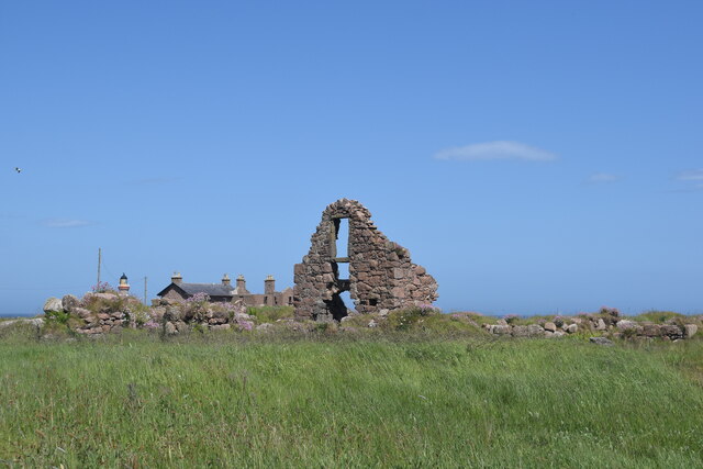
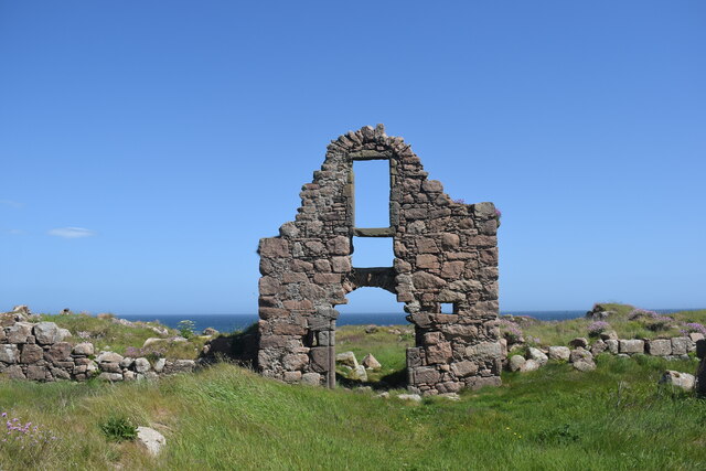
Boddam Castle
Boddam Castle is a ruined castle in Boddam, Aberdeenshire, Scotland. It was thought to have been built in the early 16th century as a seat for the Keiths...

Boddam Masonic Hall
Boddam Masonic Hall is an historic building in Boddam, Aberdeenshire, Scotland. It is a Category B listed structure, located a few hundred yards west of...
Boddam, Aberdeenshire
Boddam is a coastal village in Aberdeenshire, Scotland. It is 29 miles (47 km) north of Aberdeen and 3 miles (4.8 km) south of Peterhead. The settlement...
Boddam railway station
Boddam railway station was a railway station in Boddam, Aberdeenshire that served as the terminus of a now closed line from Ellon. == History == The station...
Nearby Amenities
Located within 500m of 57.465889,-1.7801594Have you been to Corbies' Hole?
Leave your review of Corbies' Hole below (or comments, questions and feedback).