South Castle Haven
Bay in Aberdeenshire
Scotland
South Castle Haven
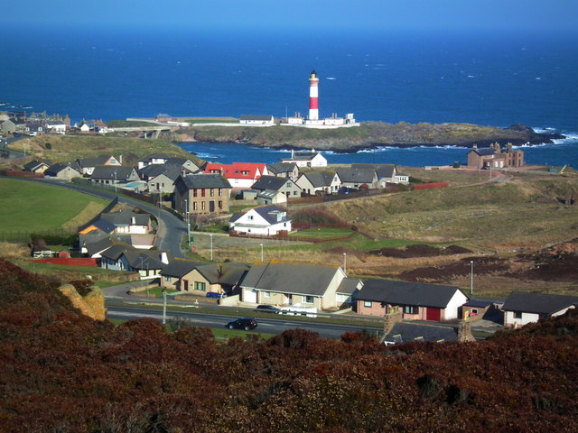
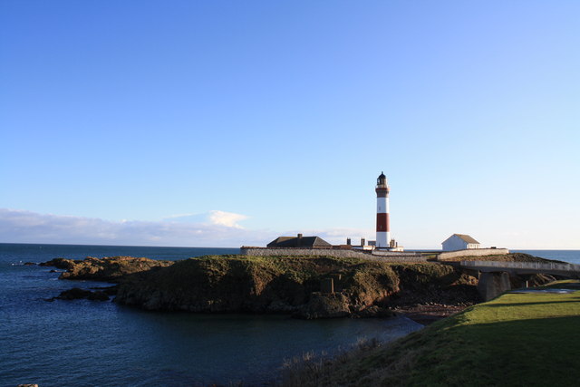
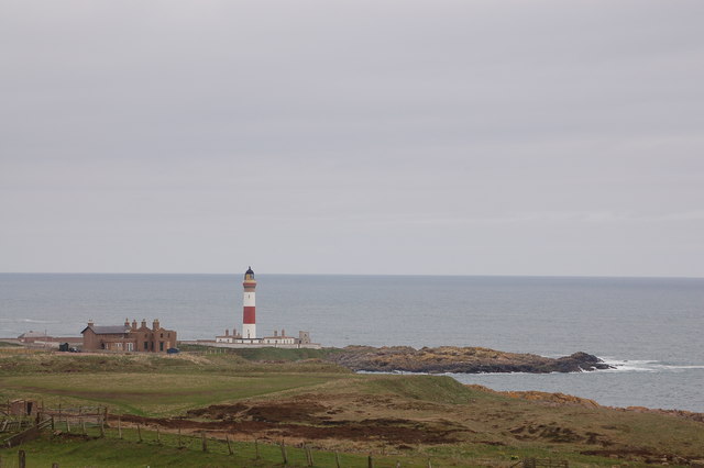
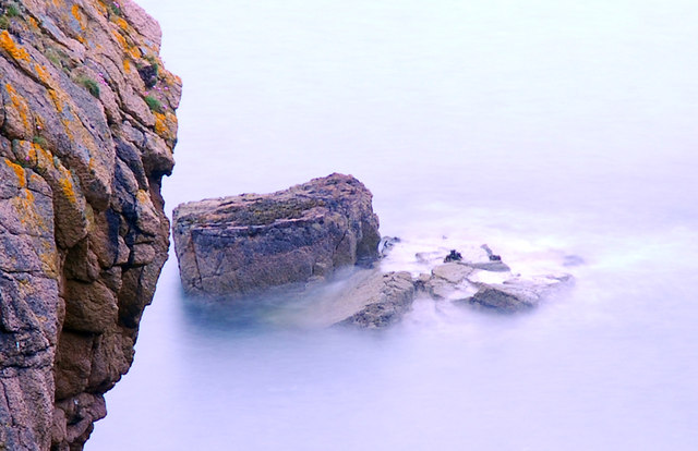
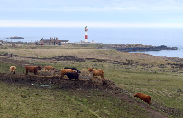
South Castle Haven is a picturesque bay located in Aberdeenshire, Scotland. Nestled along the stunning North Sea coastline, this idyllic bay offers visitors a peaceful escape from the hustle and bustle of city life.
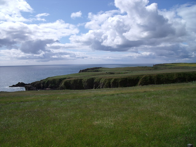
The bay is characterized by its pristine sandy beach, which stretches for approximately half a mile. The fine golden sand is perfect for leisurely walks, sunbathing, and building sandcastles. The crystal-clear waters of the North Sea are also inviting for a refreshing swim or a paddle.
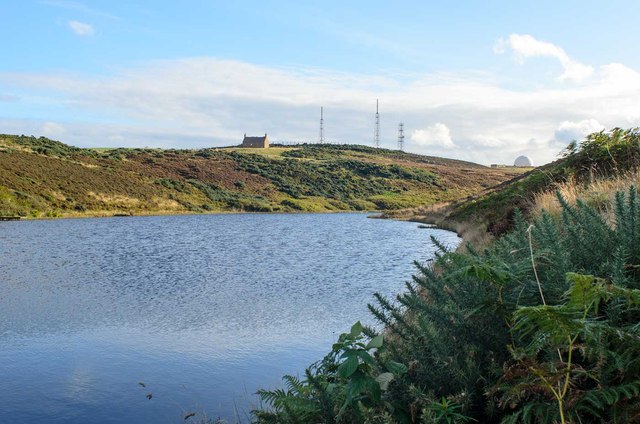
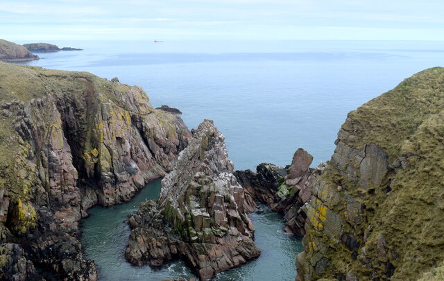
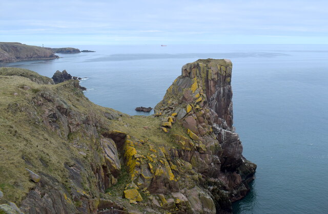
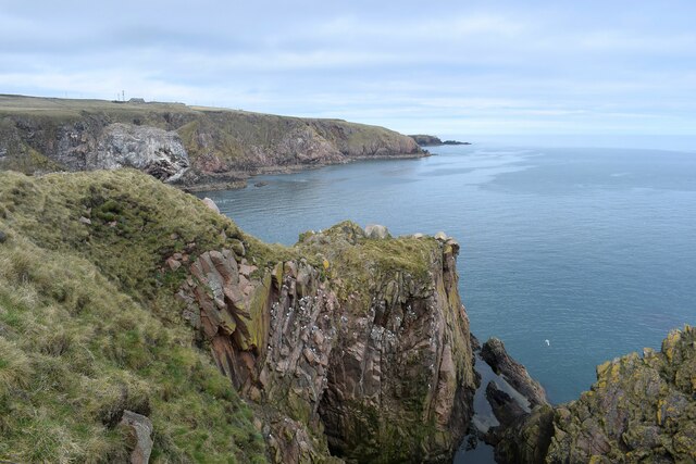
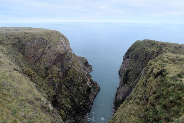
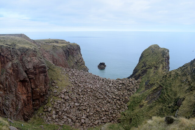
Surrounded by rolling green hills and dramatic cliffs, South Castle Haven provides breathtaking views of the rugged Scottish coastline. The bay is a haven for nature lovers, with a diverse range of wildlife to be spotted, including seals, dolphins, and a variety of seabirds.
South Castle Haven is also steeped in history, with the ruins of Dunnottar Castle perched on a rocky outcrop overlooking the bay. This medieval fortress adds a touch of intrigue and charm to the area, attracting history enthusiasts from near and far.
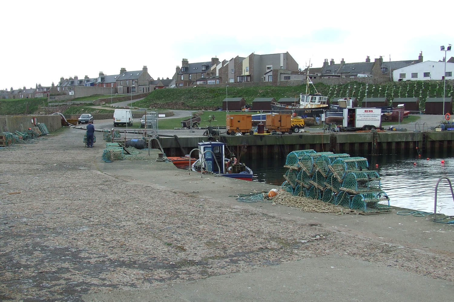
Facilities at South Castle Haven include a car park, public toilets, and a small café offering refreshments. The bay is easily accessible by road, with ample parking available. Visitors can enjoy leisurely strolls along the beach, explore the nearby cliffs, or simply relax and take in the stunning natural beauty of this hidden gem on the Aberdeenshire coastline.
If you have any feedback on the listing, please let us know in the comments section below.
South Castle Haven Images
Images are sourced within 2km of 57.460622/-1.7838578 or Grid Reference NK1341. Thanks to Geograph Open Source API. All images are credited.

South Castle Haven is located at Grid Ref: NK1341 (Lat: 57.460622, Lng: -1.7838578)
Unitary Authority: Aberdeenshire
Police Authority: North East
What 3 Words
///provide.taps.templates. Near Boddam, Aberdeenshire
Nearby Locations
Related Wikis

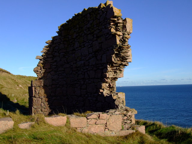
Boddam Castle
Boddam Castle is a ruined castle in Boddam, Aberdeenshire, Scotland. It was thought to have been built in the early 16th century as a seat for the Keiths...
Boddam railway station
Boddam railway station was a railway station in Boddam, Aberdeenshire that served as the terminus of a now closed line from Ellon. == History == The station...

Boddam Masonic Hall
Boddam Masonic Hall is an historic building in Boddam, Aberdeenshire, Scotland. It is a Category B listed structure, located a few hundred yards west of...
Boddam, Aberdeenshire
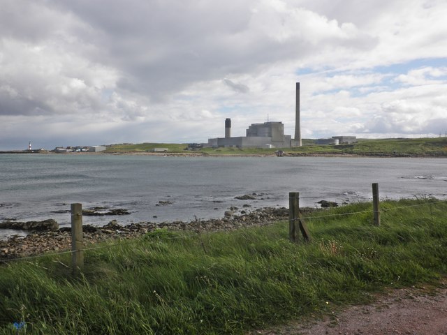
Boddam is a coastal village in Aberdeenshire, Scotland. It is 29 miles (47 km) north of Aberdeen and 3 miles (4.8 km) south of Peterhead. The settlement...

Stirling Village
Stirling Village is a settlement in the Buchan area of Aberdeenshire, Scotland, located on the A90 road immediately to the west of Boddam and 3 miles...

Brethren Meeting House
Brethren Meeting House is a Category C listed building at 26 Gordon Street in Boddam, Aberdeenshire, Scotland. It was formerly a late-Victorian-era Wesleyan...

Longhaven
Longhaven is a village in Aberdeenshire, Scotland, located two miles southwest of Boddam.Longhaven railway station closed in 1948. The village had a primary...

RAF Buchan
Royal Air Force Buchan or more simply RAF Buchan is a former Royal Air Force station near Peterhead in Aberdeenshire, Scotland. Buchan opened in 1952 as...
Nearby Amenities
Located within 500m of 57.460622,-1.7838578Have you been to South Castle Haven?
Leave your review of South Castle Haven below (or comments, questions and feedback).