Bollow Pool

Sea, Estuary, Creek in Gloucestershire Forest of Dean

England

Bollow Pool

The Severn at Bollow Bank, 1 A fine wooden garden construction belonging to the property off camera to the left.
The Severn at Bollow Bank, 1 Credit: Jonathan Billinger

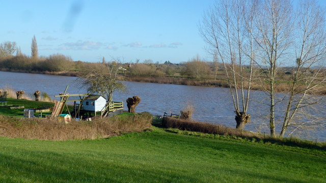
Bollow Pool is a picturesque body of water located in Gloucestershire, England. The pool is part of a larger estuarine system formed by the River Severn and is situated near the village of Bollow.

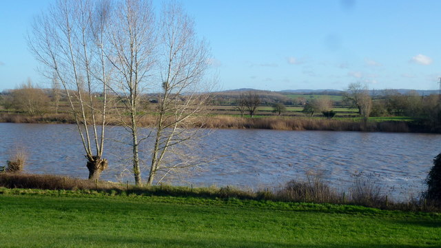
The pool is surrounded by lush, green landscape, offering a tranquil and serene atmosphere for visitors. It is a popular destination for nature lovers, birdwatchers, and those seeking a peaceful retreat. The pool is home to a diverse range of wildlife, including various species of birds, fish, and plant life.

The pool is connected to the River Severn and is influenced by the rise and fall of the tides. During high tides, water from the river flows into the pool, creating a brackish environment. This unique mix of fresh and saltwater attracts a variety of marine and estuarine species.

Bollow Pool provides opportunities for recreational activities such as fishing, boating, and kayaking. Anglers can try their luck at catching different fish species, including perch, pike, and roach.

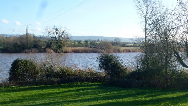
The pool is also an important site for conservation and research. It serves as a habitat for various bird species, including herons, swans, and ducks, making it a haven for birdwatchers. Additionally, the pool's ecosystem contributes to scientific studies on estuarine ecology and supports efforts to protect and preserve the area's natural resources.

Overall, Bollow Pool is a stunning natural feature in Gloucestershire, offering a unique blend of river, estuary, and creek environments. Its tranquil surroundings, diverse wildlife, and recreational opportunities make it a must-visit destination for nature enthusiasts and those seeking a peaceful escape.

If you have any feedback on the listing, please let us know in the comments section below.
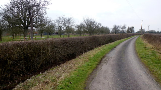
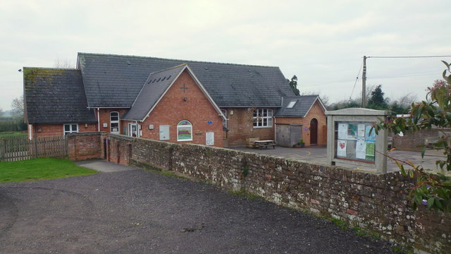
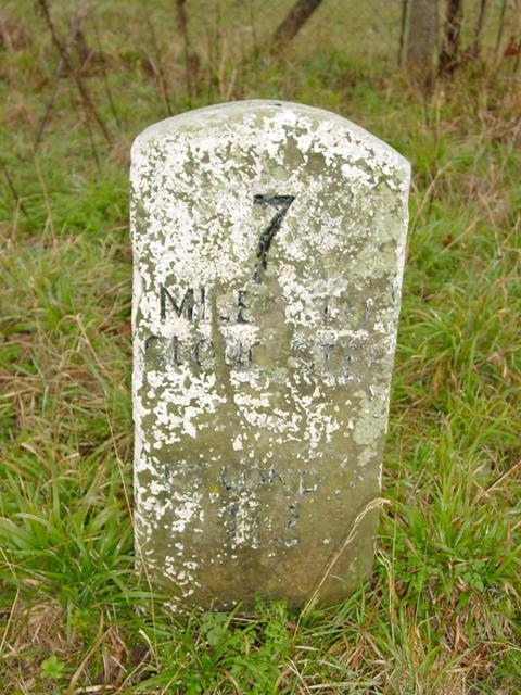
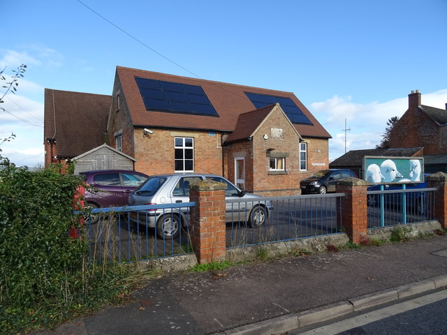
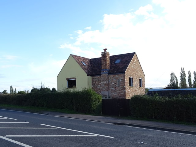
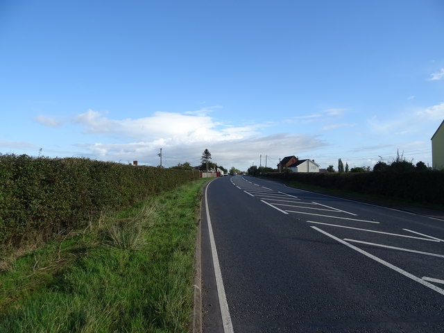
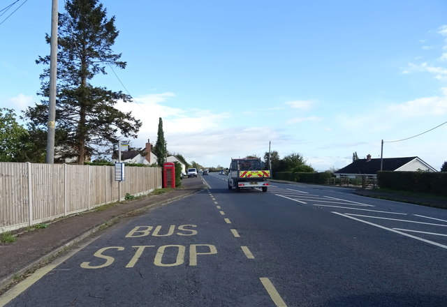
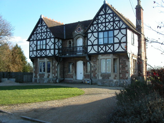
Bollow Pool Images

Images are sourced within 2km of 51.81699/-2.3610331 or Grid Reference SO7513. Thanks to Geograph Open Source API. All images are credited.

The Severn at Bollow Bank, 1 A fine wooden garden construction belonging to the property off camera to the left.
The Severn at Bollow Bank, 1
A fine wooden garden construction belonging to the property off camera to the left.
The Severn at Bollow Bank, 2 Looking east, straight across the big river in its tidal phase.
The Severn at Bollow Bank, 2
Looking east, straight across the big river in its tidal phase.
The Severn at Bollow Bank, 3 Beyond the river in the far distance is the Cotswold scarp.
The Severn at Bollow Bank, 3
Beyond the river in the far distance is the Cotswold scarp.
Severn and Wye Smokery, new building under construction
Waterend Lane A dead-end lane, and the landowners around make sure you know it!
Old orchard to the left.
Waterend Lane
A dead-end lane, and the landowners around make sure you know it! Old orchard to the left.
Private track to Waterend Cottage Note the barrier; up as it happens...
Private track to Waterend Cottage
Note the barrier; up as it happens...
Lane to Castle End, Longney One of many scattered farms hereabouts.
Lane to Castle End, Longney
One of many scattered farms hereabouts.
View to Monk's Hill A 41m mountain with a trig point yet to be photographed for Geograph. It lies well away from public access so permission would need to be sought.
See Phil's identical shot from 2008; <a href="https://www.geograph.org.uk/photo/784586">SO7613 : Monks' Hill, Longney</a>.
View to Monk's Hill
A 41m mountain with a trig point yet to be photographed for Geograph. It lies well away from public access so permission would need to be sought. See Phil's identical shot from 2008; SO7613 : Monks' Hill, Longney.
Westbury-on-Severn: Stantway 1-km square visited as part of the Gloucestershire Winter Bird Survey. S Barker.
Westbury-on-Severn: Stantway
1-km square visited as part of the Gloucestershire Winter Bird Survey. S Barker.
C. of E. Primary School, Longney, 2018 A revisit to this square has the photographer inadvertently taking almost the same shot, ten years on. Notice the changes to the entrance and the signage in the decade since <a href="https://www.geograph.org.uk/photo/759253">SO7612 : C. of E. Primary School, Longney, Gloucestershire.</a>.
Again, the photographer chooses school holidays to photograph a school.
C. of E. Primary School, Longney, 2018
A revisit to this square has the photographer inadvertently taking almost the same shot, ten years on. Notice the changes to the entrance and the signage in the decade since SO7612 : C. of E. Primary School, Longney, Gloucestershire.. Again, the photographer chooses school holidays to photograph a school.
Old Milestone by the A48, Chaxhill, Westbury on Severn Parish Carved stone post by the A48, in parish of WESTBURY ON SEVERN (FOREST OF DEAN District), 300m West of school, on grass verge, on South side of road. Elton stone, erected by the Elton (District of Huntley & Mitcheldean) turnpike trust in the 19th century. 

Inscription reads:-
7
MILES TO
GLOUCESTER
TO LONDON
112 
Carved benchmark on top.

Milestone Society National ID: GL_GLNH07.
Old Milestone by the A48, Chaxhill, Westbury on Severn Parish
Carved stone post by the A48, in parish of WESTBURY ON SEVERN (FOREST OF DEAN District), 300m West of school, on grass verge, on South side of road. Elton stone, erected by the Elton (District of Huntley & Mitcheldean) turnpike trust in the 19th century. Inscription reads:- 7 MILES TO GLOUCESTER TO LONDON 112 Carved benchmark on top. Milestone Society National ID: GL_GLNH07.
Service station on the A48, Chaxhill
House on the A48, Chaxhill
A48, Chaxhill Towards Gloucester.
A48, Chaxhill
Towards Gloucester.
Walmore Hill Primary School
House on the A48
House on the A48
A48 towards Gloucester
Bus top on the A48
Bus top on the A48
Show me another place!

Bollow Pool is located at Grid Ref: SO7513 (Lat: 51.81699, Lng: -2.3610331)

Administrative County: Gloucestershire

District: Forest of Dean

Police Authority: Gloucestershire

What 3 Words

///navy.greed.venturing. Near Frampton on Severn, Gloucestershire

Nearby Locations

Wicks Green Bollow Pool

Related Wikis

Longney

Longney is a village on the River Severn 5 miles south-west of Gloucester, Gloucestershire, England, within the parish of Longney and Epney. The parish...

Rodley, Gloucestershire

Rodley is a settlement in Westbury-on-Severn parish, Forest of Dean District, Gloucestershire, England. It lies to the south east of Westbury-on-Severn...

Walmore Common

Walmore Common (grid reference SO740162 & grid reference SO745150) is a 57.78-hectare (142.8-acre) nature reserve on the flood-plain of the River Severn...

Epney

Epney is a small village on the River Severn. It is 8 miles (13 km) South-West of Gloucester, Gloucestershire, England within the parish of Longney and...

River Frome, Stroud

The River Frome, once also known as the Stroudwater, is a small river in Gloucestershire, England. It is to be distinguished from another River Frome...

Priding

Priding is a hamlet in the civil parish of Arlingham, in the Stroud district, in the county of Gloucestershire, England. == References ==

Framilode

Framilode is a village on the banks of the River Severn in Gloucestershire, England, in the parish of Fretherne with Saul. It consists of two settlements...

Wick Court, Arlingham

Wick Court, Arlingham, Gloucestershire, England is a country house constructed between the late 14th and the mid-17th centuries. Now a base for the charity...

Nearby Amenities

Located within 500m of 51.81699,-2.3610331
Created By: almien_coastlines
Source: PGS
Lat/Long: 51.812955/-2.362024
Created By: almien_coastlines
Source: PGS
Lat/Long: 51.8135887/-2.3620004
Created By: almien_coastlines
Source: PGS
Lat/Long: 51.814268/-2.3621454
Source: PGS
Lat/Long: 51.8151341/-2.3623082
Source: PGS
Lat/Long: 51.8173414/-2.3622902
Created By: almien_coastlines
Source: PGS
Lat/Long: 51.818082/-2.362365
Created By: almien_coastlines
Source: PGS
Lat/Long: 51.81885/-2.362354
Created By: almien_coastlines
Source: PGS
Lat/Long: 51.819365/-2.3625194
Created By: almien_coastlines
Source: PGS
Lat/Long: 51.819878/-2.362753
Source: PGS
Lat/Long: 51.8203602/-2.3629644
Source: PGS
Lat/Long: 51.8212134/-2.3631659
Created By: almien_coastlines
Source: PGS
Lat/Long: 51.8213528/-2.3616079
Source: PGS
Lat/Long: 51.8209813/-2.3614499
Created By: almien_coastlines
Source: PGS
Lat/Long: 51.8206286/-2.361317
Source: PGS
Lat/Long: 51.8203546/-2.3611934
Created By: almien_coastlines
Source: PGS
Lat/Long: 51.819869/-2.3611121
Created By: almien_coastlines
Source: PGS
Lat/Long: 51.8194018/-2.3609351
Created By: almien_coastlines
Source: PGS
Lat/Long: 51.818841/-2.3607131
Created By: almien_coastlines
Source: PGS
Lat/Long: 51.81807/-2.3603111
Created By: almien_coastlines
Source: PGS
Lat/Long: 51.8175694/-2.3600776
Created By: almien_coastlines
Source: PGS
Lat/Long: 51.8171533/-2.3601371
Created By: almien_coastlines
Source: PGS
Lat/Long: 51.816531/-2.3599191
Created By: almien_coastlines
Source: PGS
Lat/Long: 51.816018/-2.3599261
Created By: almien_coastlines
Source: PGS
Lat/Long: 51.815505/-2.3597261
Created By: almien_coastlines
Source: PGS
Lat/Long: 51.8147642/-2.3597561
Created By: almien_coastlines
Source: PGS
Lat/Long: 51.8140191/-2.3596561
Created By: almien_coastlines
Source: PGS
Lat/Long: 51.8134946/-2.3598481
Created By: almien_coastlines
Source: PGS
Lat/Long: 51.8132/-2.3599661
Created By: almien_coastlines
Source: PGS
Lat/Long: 51.812687/-2.3599731
Power: tower
Lat/Long: 51.8172644/-2.3538566
Power: tower
Lat/Long: 51.8150065/-2.3548185
Power: tower
Lat/Long: 51.8141261/-2.3581591
Building: residential
Source: Bing
Lat/Long: 51.8194649/-2.363242
Bollow Pool
Place: locality
Lat/Long: 51.8176941/-2.3613473
The data included in this document is from www.openstreetmap.org. The data is made available under ODbL.

Have you been to Bollow Pool?

Leave your review of Bollow Pool below (or comments, questions and feedback).