Cove Haven
Sea, Estuary, Creek in Angus
Scotland
Cove Haven
The requested URL returned error: 429 Too Many Requests
If you have any feedback on the listing, please let us know in the comments section below.
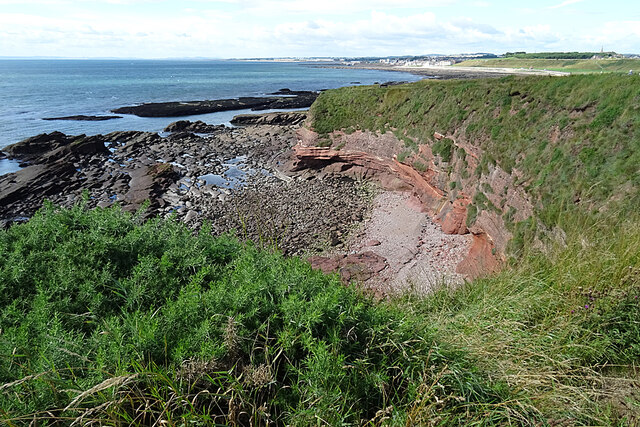
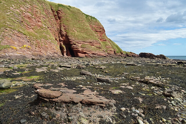
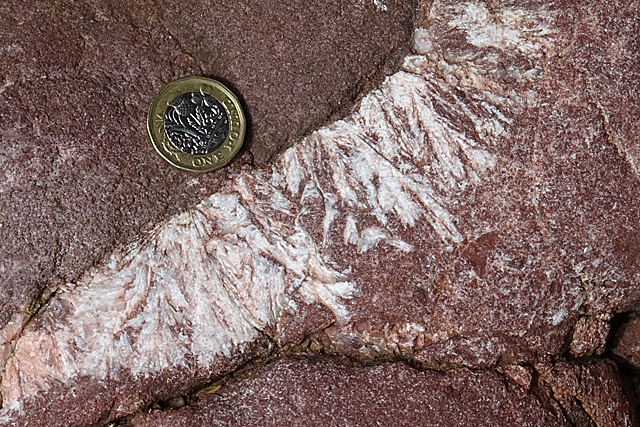
Cove Haven Images
Images are sourced within 2km of 56.569494/-2.5387668 or Grid Reference NO6642. Thanks to Geograph Open Source API. All images are credited.


Cove Haven is located at Grid Ref: NO6642 (Lat: 56.569494, Lng: -2.5387668)
Unitary Authority: Angus
Police Authority: Tayside
What 3 Words
///slogans.cemented.growl. Near Arbroath, Angus
Nearby Locations
Related Wikis
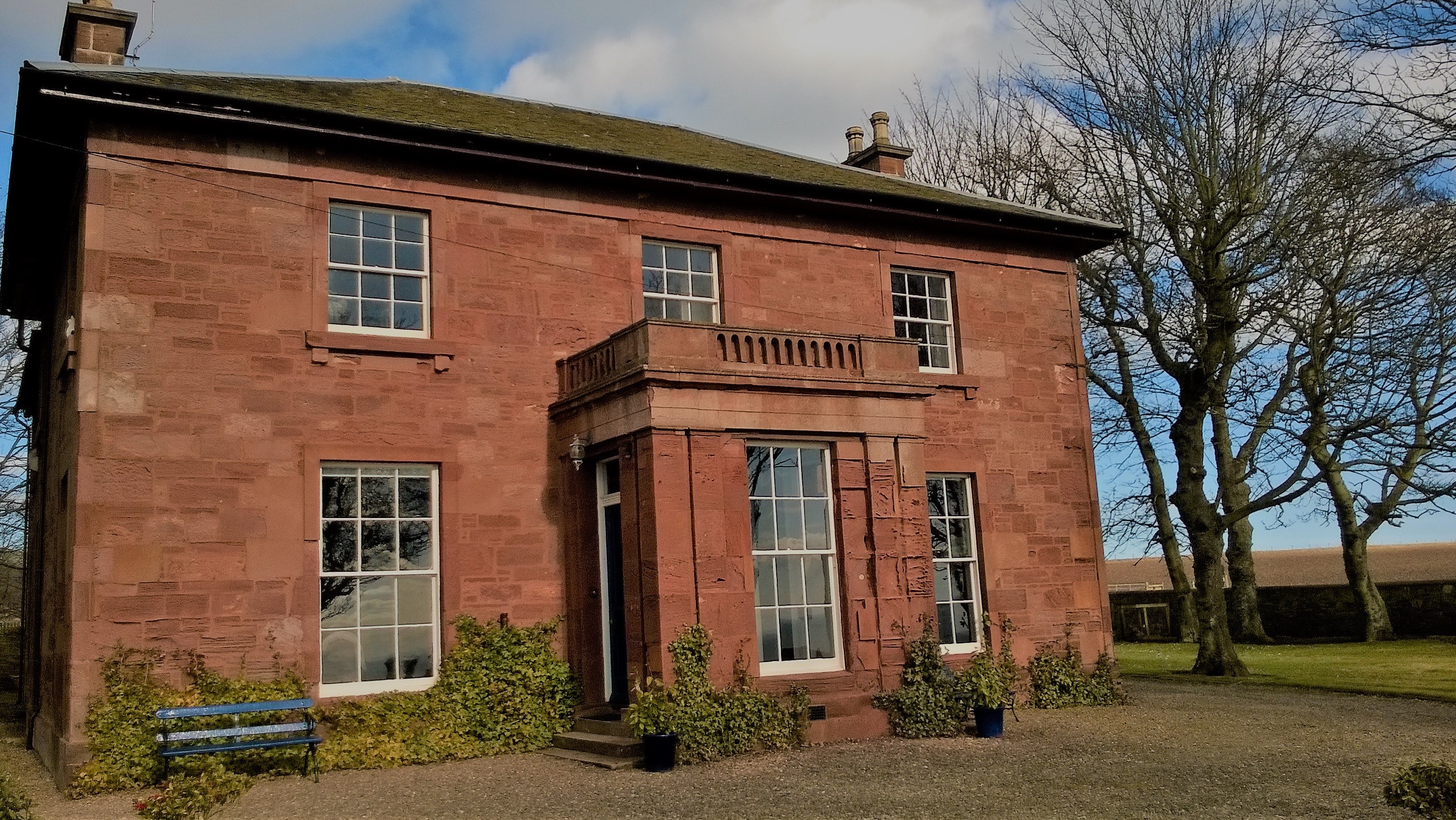
West Seaton House
West Seaton House is a listed building of late Regency design, situated approximately one mile (1.6 km) to the east of Arbroath in the parish of St. Vigeans...

Auchmithie
Auchmithie is a small fishing village in Angus, Scotland, three miles north east of the town of Arbroath. It sits atop a cliff of red sandstone conglomerate...

Church of St Mary the Virgin, Arbroath
The Church of St Mary the Virgin is a Scottish Episcopal Church, in Arbroath, Angus, Scotland. It is part of the Diocese of Brechin. == Church building... ==
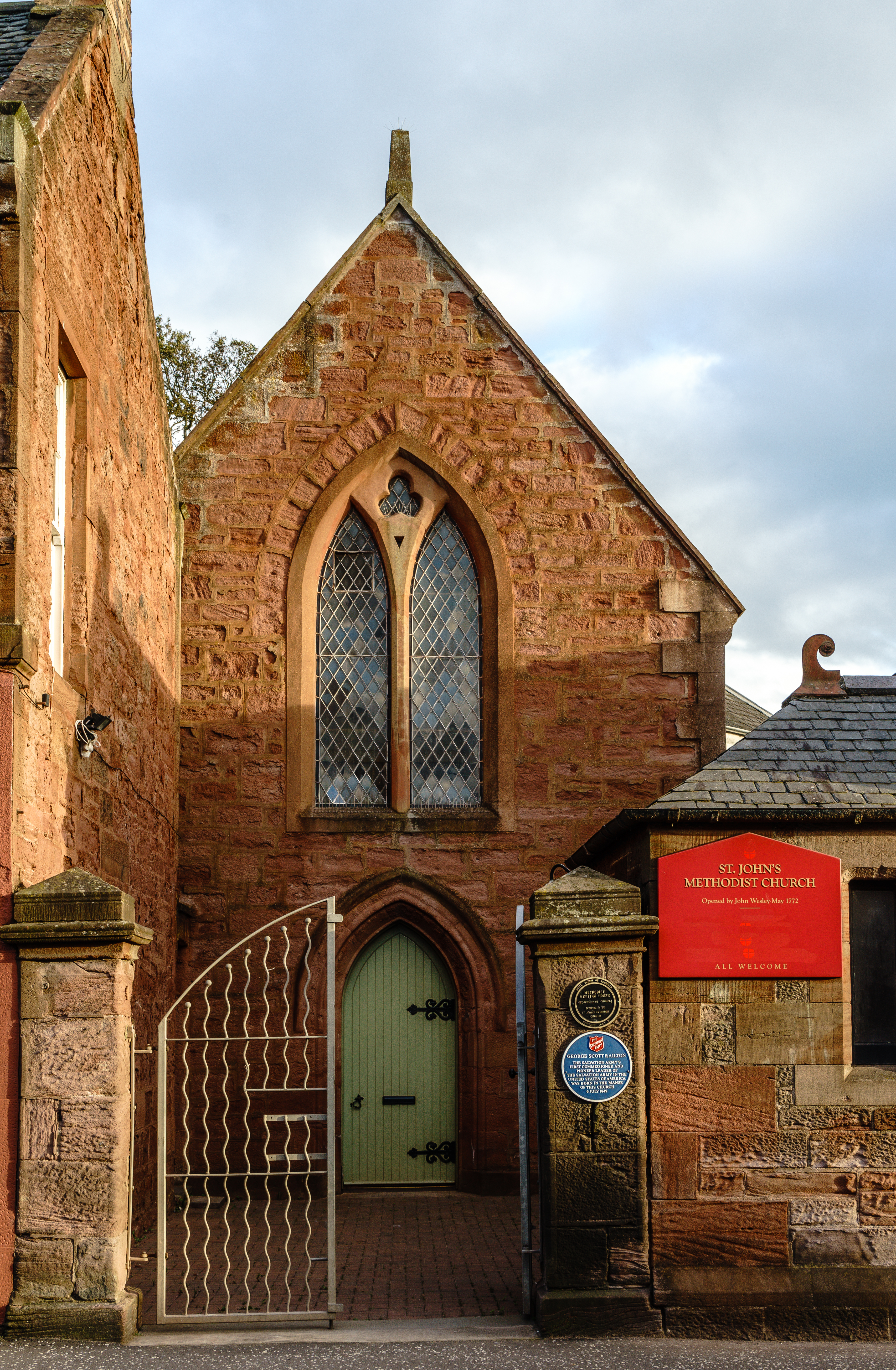
St John's Methodist Church, Arbroath
St John's Methodist Church, on Ponderlaw Street, Arbroath, Scotland, was founded by John Wesley on 6 May 1772. The nave is octagonal and the church has...
Nearby Amenities
Located within 500m of 56.569494,-2.5387668Have you been to Cove Haven?
Leave your review of Cove Haven below (or comments, questions and feedback).