Horse Pill

Sea, Estuary, Creek in Gloucestershire Forest of Dean

England

Horse Pill

A48 at Stroat Looking north-east towards Lydney and Gloucester.
A48 at Stroat Credit: Jonathan Billinger

Horse Pill is a small coastal village located in Gloucestershire, England. Situated on the banks of the River Severn, it is surrounded by picturesque landscapes of sea, estuary, and creek. The village is renowned for its natural beauty and is a popular destination for nature enthusiasts and outdoor enthusiasts alike.

The sea in Horse Pill offers stunning views and provides opportunities for various water activities such as sailing, boating, and fishing. The coastal area is characterized by sandy beaches and rocky cliffs, attracting visitors who enjoy sunbathing, beachcombing, and exploring the diverse marine life.

The estuary, formed by the River Severn, creates a unique ecosystem that supports a rich variety of flora and fauna. The tidal nature of the estuary makes it an ideal spot for birdwatching, as it serves as a stopover point for migratory birds. It is not uncommon to spot species such as curlews, dunlins, and oystercatchers in the area.

A creek runs through Horse Pill, creating a tranquil and serene atmosphere. The creek is lined with lush vegetation and provides a peaceful setting for walks and picnics. Boating and kayaking are also popular activities in the creek, offering visitors a chance to explore the winding waterways.

Horse Pill, Gloucestershire offers a perfect blend of seaside charm and natural beauty. Whether it is enjoying the sea, observing the estuary's wildlife, or exploring the peaceful creek, visitors are sure to find an array of activities and sights to experience in this idyllic coastal village.

If you have any feedback on the listing, please let us know in the comments section below.
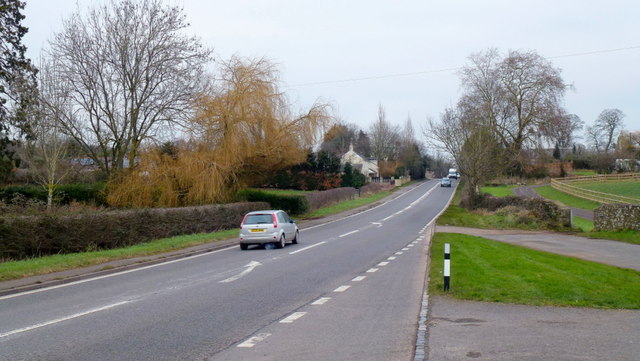
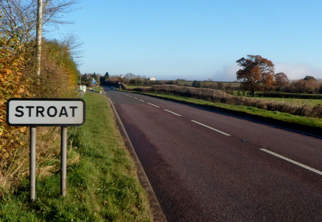
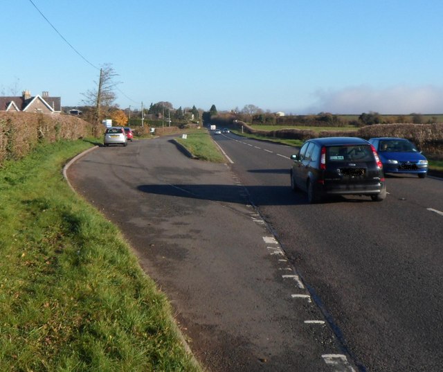
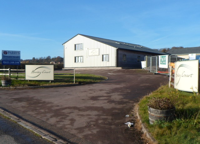
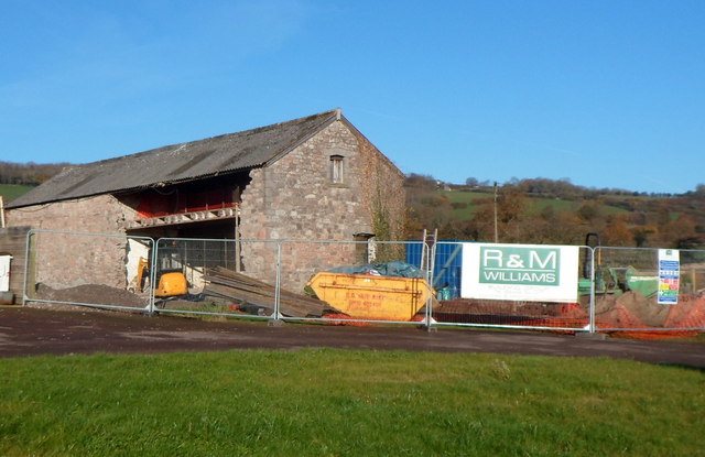
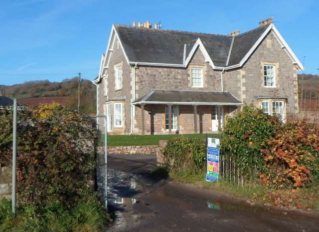
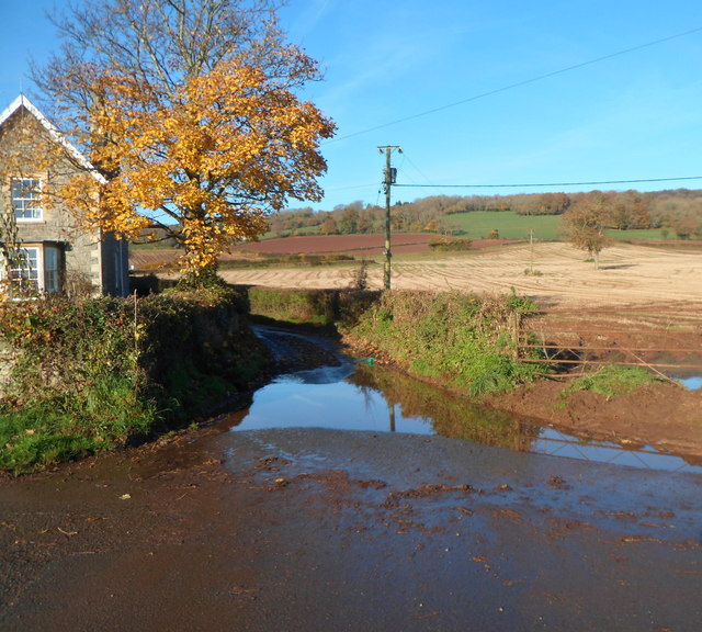
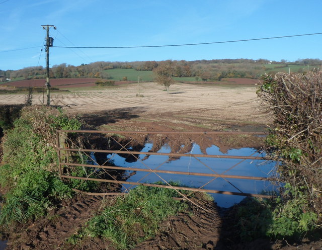
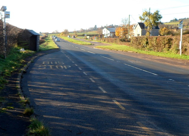
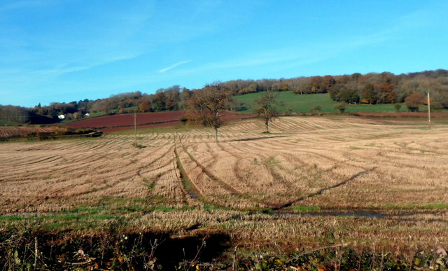
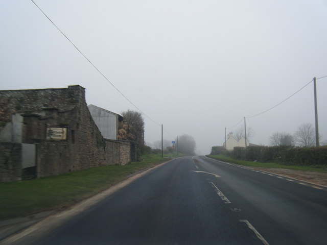
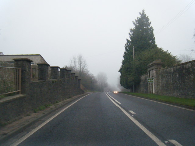
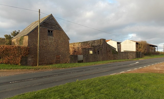
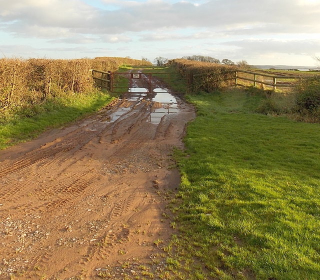
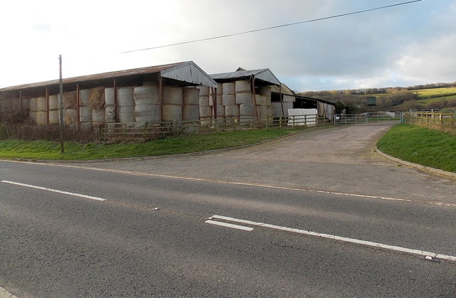
Horse Pill Images

Images are sourced within 2km of 51.672762/-2.6075583 or Grid Reference ST5897. Thanks to Geograph Open Source API. All images are credited.

A48 at Stroat Looking north-east towards Lydney and Gloucester.
A48 at Stroat
Looking north-east towards Lydney and Gloucester.
SW boundary of Stroat The A48 between Chepstow and Lydney reaches the SW edge of the Gloucestershire hamlet of Stroat.
SW boundary of Stroat
The A48 between Chepstow and Lydney reaches the SW edge of the Gloucestershire hamlet of Stroat.
Stroat layby This 200-metre long layby is adjacent to Hanley Court in the SW of Stroat, Gloucestershire.
It is alongside the A48. Lydney is about 6 miles ahead. Chepstow is about 3 miles behind the camera.
Stroat layby
This 200-metre long layby is adjacent to Hanley Court in the SW of Stroat, Gloucestershire. It is alongside the A48. Lydney is about 6 miles ahead. Chepstow is about 3 miles behind the camera.
Hanley Court Business Centre, Stroat Located on the north side of the A48, about 6 miles from Lydney and 3 miles from Chepstow. Opened in 2008, Hanley Court Business Centre provides modern business accommodation in a secure environment with active management from the on-site team. There are also conference and meeting rooms available for hire.
Hanley Court Business Centre, Stroat
Located on the north side of the A48, about 6 miles from Lydney and 3 miles from Chepstow. Opened in 2008, Hanley Court Business Centre provides modern business accommodation in a secure environment with active management from the on-site team. There are also conference and meeting rooms available for hire.
Half a side wall, Hanley Court, Stroat Is this stone building in a fenced-off area next to 
Hanley Court Business Centre <a title="https://www.geograph.org.uk/photo/3230187" href="https://www.geograph.org.uk/photo/3230187">Link</a> being demolished or repaired?
Half a side wall, Hanley Court, Stroat
Is this stone building in a fenced-off area next to Hanley Court Business Centre Link being demolished or repaired?
Hanley House, Stroat Former farmhouse, converted into flats. Located alongside the A48, about 6 miles from Lydney and 3 miles from Chepstow. Hanley Court Business Centre <a title="https://www.geograph.org.uk/photo/3230187" href="https://www.geograph.org.uk/photo/3230187">Link</a> is nearby.
Hanley House, Stroat
Former farmhouse, converted into flats. Located alongside the A48, about 6 miles from Lydney and 3 miles from Chepstow. Hanley Court Business Centre Link is nearby.
Surface water on Hanley Lane, Stroat Viewed from the edge of the A48. Hanley House <a title="https://www.geograph.org.uk/photo/3230220" href="https://www.geograph.org.uk/photo/3230220">Link</a> is on the left.
There is also surface water <a title="https://www.geograph.org.uk/photo/3230236" href="https://www.geograph.org.uk/photo/3230236">Link</a> at the field entrance just out of shot on the right.
Surface water on Hanley Lane, Stroat
Viewed from the edge of the A48. Hanley House Link is on the left. There is also surface water Link at the field entrance just out of shot on the right.
Flooded field entrance, Stroat The field entrance is alongside Hanley Lane, which also has standing water. <a title="https://www.geograph.org.uk/photo/3230232" href="https://www.geograph.org.uk/photo/3230232">Link</a>
Flooded field entrance, Stroat
The field entrance is alongside Hanley Lane, which also has standing water. Link
Stroat bus stop The bus stop on this side is for services from Lydney (about 6 miles away) towards Chepstow (about 3 miles ahead). Hanley Court Business Centre <a title="https://www.geograph.org.uk/photo/3230187" href="https://www.geograph.org.uk/photo/3230187">Link</a> is on the opposite side of the road, ahead.
Stroat bus stop
The bus stop on this side is for services from Lydney (about 6 miles away) towards Chepstow (about 3 miles ahead). Hanley Court Business Centre Link is on the opposite side of the road, ahead.
Mid November in rural Gloucestershire A view from the A48 in Stroat, near Hanley Lane. <a title="https://www.geograph.org.uk/photo/3230232" href="https://www.geograph.org.uk/photo/3230232">Link</a>
Mid November in rural Gloucestershire
A view from the A48 in Stroat, near Hanley Lane. Link
A48 at Wibdon
A48 at Wibdon
A48 at Stroat
A48 at Stroat
A48 at Ashwell Lodge
A48 at Woolaston village boundary
Wibdon Farm buildings, Wibdon Viewed across the A48 in Gloucestershire, between Chepstow and Lydney.
Wibdon Farm buildings, Wibdon
Viewed across the A48 in Gloucestershire, between Chepstow and Lydney.
Puddles at a gate to a private road opposite Wibdon Farm, Wibdon Viewed from the A48 opposite Wibdon Farm buildings. <a title="https://www.geograph.org.uk/photo/3278390" href="https://www.geograph.org.uk/photo/3278390">Link</a>
The notice on the gate shows PRIVATE ROAD KEEP OUT.
"Road" appears somewhat optimistic. "Track" would be a better description.
Puddles at a gate to a private road opposite Wibdon Farm, Wibdon
Viewed from the A48 opposite Wibdon Farm buildings. Link The notice on the gate shows PRIVATE ROAD KEEP OUT. "Road" appears somewhat optimistic. "Track" would be a better description.
A corner of Wibdon Farm, Wibdon Viewed across the A48 in Gloucestershire.
A corner of Wibdon Farm, Wibdon
Viewed across the A48 in Gloucestershire.
Farmhouse, High Hall Farm, Stroat Viewed across the A48 between Chepstow and Lydney.
Farmhouse, High Hall Farm, Stroat
Viewed across the A48 between Chepstow and Lydney.
Show me another place!

Horse Pill is located at Grid Ref: ST5897 (Lat: 51.672762, Lng: -2.6075583)

Administrative County: Gloucestershire

District: Forest of Dean

Police Authority: Gloucestershire

What 3 Words

///propelled.ripen.heartened. Near Tintern, Monmouthshire

Nearby Locations

Horse Pill

Related Wikis

Ridley Bottom, Tidenham

Ridley Bottom (grid reference ST563985) is a 1.1-hectare (2.7-acre) nature reserve in Gloucestershire. The site is listed in the 'Forest of Dean Local...

Boughspring

Boughspring is a hamlet in Gloucestershire, England. == History == Settlement at Boughspring dates back to Roman times when a villa was built nearby. Boughspring...

Poor's Allotment

Poor's Allotment (grid reference ST560990) is a 28.57-hectare (70.6-acre) biological Site of Special Scientific Interest in Gloucestershire, notified in...

Tidenham

Tidenham () is a village and civil parish in the Forest of Dean of west Gloucestershire, England, adjoining the Welsh border. Tidenham is bounded by the...

Nearby Amenities

Located within 500m of 51.672762,-2.6075583
Source: PGS
Lat/Long: 51.6697846/-2.6122298
Source: PGS
Lat/Long: 51.6703977/-2.6123991
Source: PGS
Lat/Long: 51.6703139/-2.6115576
Source: PGS
Lat/Long: 51.6706272/-2.6111369
Source: PGS
Lat/Long: 51.6709308/-2.6107206
Source: PGS
Lat/Long: 51.671497/-2.6100418
Source: PGS
Lat/Long: 51.672202/-2.608927
Source: PGS
Lat/Long: 51.6723477/-2.6088038
Source: PGS
Lat/Long: 51.6724376/-2.6100065
Source: PGS
Lat/Long: 51.6725891/-2.6097304
Source: PGS
Lat/Long: 51.672934/-2.608567
Source: PGS
Lat/Long: 51.6733181/-2.6077862
Source: PGS
Lat/Long: 51.6734283/-2.6072254
Source: PGS
Lat/Long: 51.673649/-2.6068748
Source: PGS
Lat/Long: 51.6738913/-2.6065207
Source: PGS
Lat/Long: 51.6741541/-2.6061159
Source: PGS
Lat/Long: 51.6744348/-2.6056576
Source: PGS
Lat/Long: 51.6746649/-2.6051641
Source: PGS
Lat/Long: 51.6748231/-2.6049469
Source: PGS
Lat/Long: 51.6751559/-2.6041379
Source: PGS
Lat/Long: 51.6753907/-2.6034504
Source: PGS
Lat/Long: 51.6756333/-2.6028678
Source: Landsat photo
Lat/Long: 51.6753899/-2.6058138
Source: Landsat photo
Lat/Long: 51.6727808/-2.6100923
The data included in this document is from www.openstreetmap.org. The data is made available under ODbL.

Have you been to Horse Pill?

Leave your review of Horse Pill below (or comments, questions and feedback).