Hunger Pill
Sea, Estuary, Creek in Monmouthshire
Wales
Hunger Pill
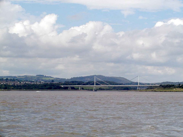
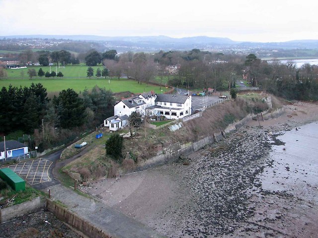
Hunger Pill is a small coastal area located in Monmouthshire, Wales, known for its picturesque sea views, estuary, and creek. Situated on the southern bank of the River Severn, it offers a tranquil and idyllic setting for visitors seeking a peaceful retreat.
The main attraction of Hunger Pill is its stunning seafront, which provides breathtaking views of the vast Atlantic Ocean. Visitors can enjoy long walks along the sandy shoreline, basking in the fresh sea breeze and listening to the soothing sound of crashing waves. The area is also popular among birdwatchers, as it serves as a sanctuary for various bird species, including gulls, terns, and waders.
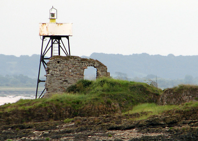
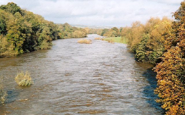
The estuary at Hunger Pill is a unique feature that adds to its charm. It is formed by the convergence of the River Severn and the Bristol Channel, creating a rich and diverse ecosystem. The estuary is home to numerous species of fish, crustaceans, and mollusks, making it a haven for anglers and seafood enthusiasts.
A small creek runs through Hunger Pill, providing a haven for small boats and sailing enthusiasts. The calm waters of the creek offer an ideal environment for leisurely boat rides and kayaking adventures. It is also a popular spot for fishing and crabbing, attracting both locals and tourists alike.
Hunger Pill, Monmouthshire, is a hidden gem that offers a peaceful and serene coastal experience. Whether it's enjoying the sea views, exploring the estuary's diverse ecosystem, or engaging in water activities in the creek, visitors are sure to find solace and tranquility in this beautiful coastal area.
If you have any feedback on the listing, please let us know in the comments section below.
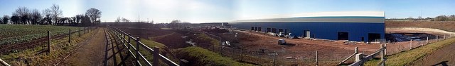
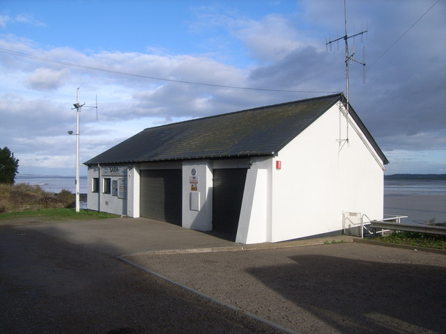
Hunger Pill Images
Images are sourced within 2km of 51.614992/-2.6641817 or Grid Reference ST5490. Thanks to Geograph Open Source API. All images are credited.


Hunger Pill is located at Grid Ref: ST5490 (Lat: 51.614992, Lng: -2.6641817)
Unitary Authority: Monmouthshire
Police Authority: Gwent
What 3 Words
///bungalows.contoured.forkful. Near Chepstow, Monmouthshire
Nearby Locations
Related Wikis
River Wye
The River Wye (; Welsh: Afon Gwy [ɡʊɨ̯]) is the fourth-longest river in the UK, stretching some 250 kilometres (155 miles) from its source on Plynlimon...

Beachley Barracks
Beachley Barracks is a British Army base at Beachley in Gloucestershire, England, close to the England–Wales border at Chepstow. The barracks is the home...
Beachley
Beachley is a village in Gloucestershire, England, near the border with Monmouthshire, Wales. It is located on a peninsula at the confluence of the rivers...
Severn Area Rescue Association
Severn Area Rescue Association (SARA) or Severn Rescue is an independent, marine and land based, search and rescue organisation covering the Severn Estuary...
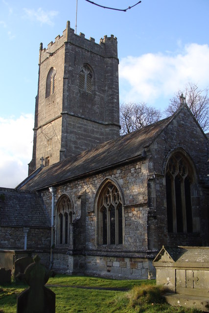
St Tewdric's Church
St Tewdric's Church is a Church in Wales parish church in Mathern, Monmouthshire, Wales. It is purportedly built over the resting place of Saint Tewdrig...

Mathern Palace
Mathern Palace is a Grade I listed building in the village of Mathern, Monmouthshire, Wales, located some 3 miles (4.8 km) south-west of Chepstow close...
Bulwark, Chepstow
Bulwark is a predominantly residential area of Chepstow, Monmouthshire, Wales, largely developed during the twentieth century. The area is so named because...
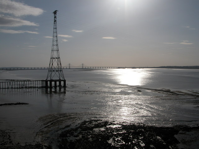
Aust Severn Powerline Crossing
Aust Severn Powerline Crossing is the longest overhead power line span in the United Kingdom with a length of 1,618 m (5,308 ft). == History == The crossing...
Nearby Amenities
Located within 500m of 51.614992,-2.6641817Have you been to Hunger Pill?
Leave your review of Hunger Pill below (or comments, questions and feedback).