Ironstone Cove
Sea, Estuary, Creek in East Lothian
Scotland
Ironstone Cove
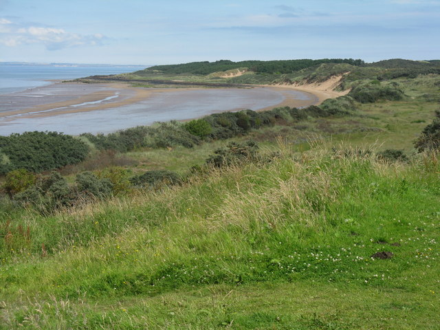
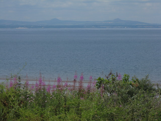
Ironstone Cove is a picturesque coastal area located in East Lothian, Scotland. Situated along the southern shore of the Firth of Forth, this cove is renowned for its stunning sea views, estuary, and creek. It offers visitors a serene and natural setting to relax and enjoy the beauty of the Scottish coast.
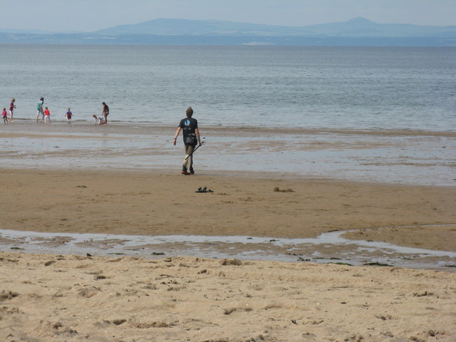
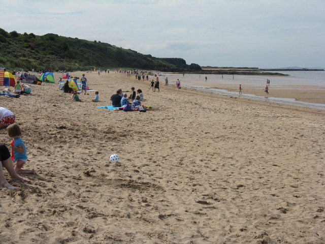
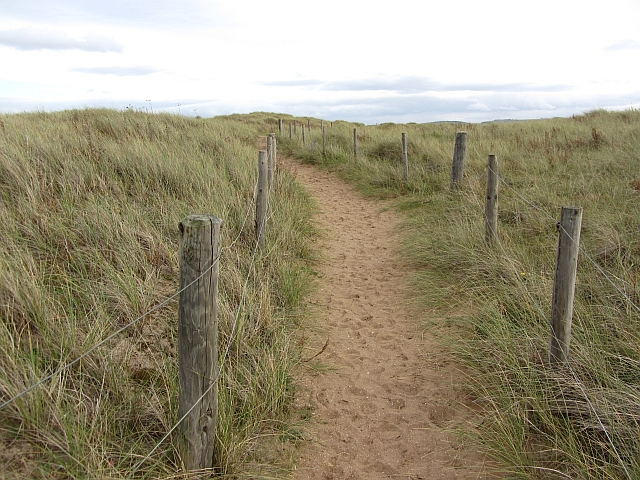
With its pristine sandy beach, Ironstone Cove attracts both locals and tourists alike. The soft golden sand provides the perfect spot for sunbathing, building sandcastles, or enjoying a leisurely stroll along the shore. The cove's calm waters make it an ideal destination for swimming, paddleboarding, and other water-based activities, while the surrounding cliffs offer a dramatic backdrop to the coastal scene.
The estuary at Ironstone Cove is a haven for wildlife enthusiasts and bird watchers. The area is home to a diverse range of bird species, including waders, gulls, and terns. During low tide, the estuary reveals a rich diversity of marine life, such as crabs, shellfish, and small fish, making it an excellent spot for rock pooling and exploring the coastal ecosystem.
A small creek meanders through the cove, adding to its charm. Visitors can enjoy peaceful walks along the creek, taking in the tranquil surroundings and the soothing sound of the water flowing. The creek is also a popular spot for kayaking and canoeing, providing an opportunity to explore the area from a different perspective.
Ironstone Cove is a true gem along the East Lothian coast, offering a delightful blend of natural beauty, recreational activities, and wildlife. Whether you seek relaxation, adventure, or a chance to connect with nature, Ironstone Cove is a must-visit destination for all.
If you have any feedback on the listing, please let us know in the comments section below.
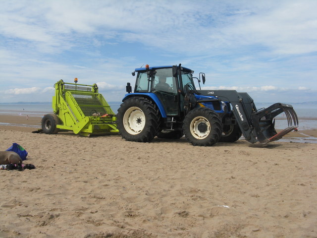
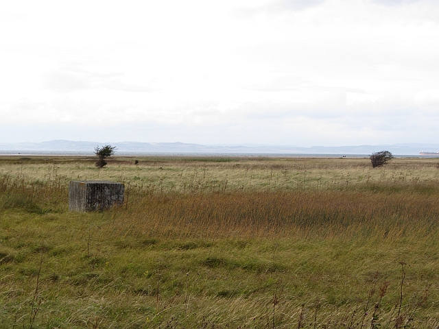
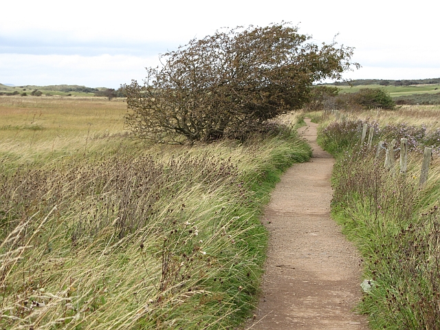
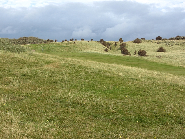
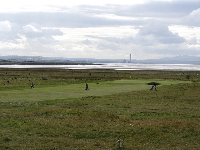
Ironstone Cove Images
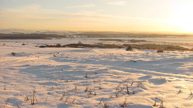
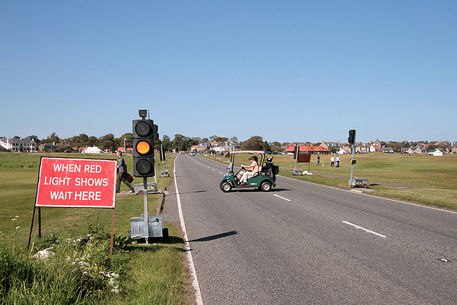
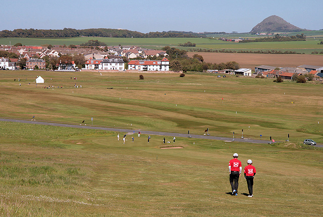
Images are sourced within 2km of 56.038127/-2.8633248 or Grid Reference NT4683. Thanks to Geograph Open Source API. All images are credited.


Ironstone Cove is located at Grid Ref: NT4683 (Lat: 56.038127, Lng: -2.8633248)
Unitary Authority: East Lothian
Police Authority: The Lothians and Scottish Borders
What 3 Words
///joints.loudness.bluffs. Near Gullane, East Lothian
Nearby Locations
Related Wikis
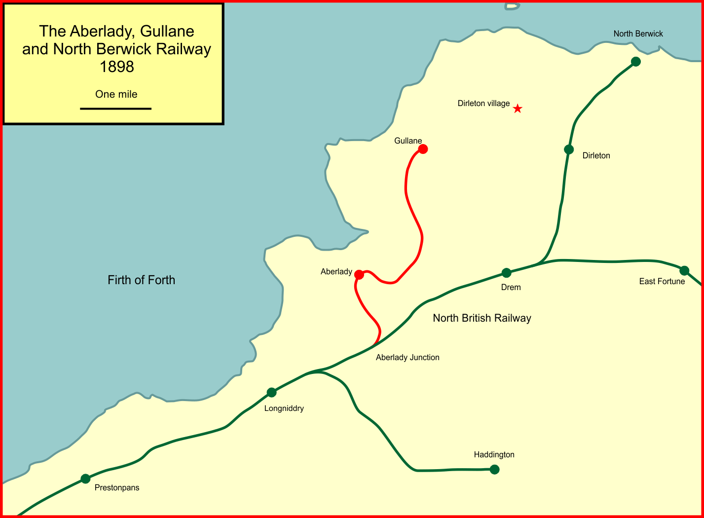
Aberlady, Gullane and North Berwick Railway
The Aberlady, Gullane and North Berwick Railway was promoted independently to develop settlements between Longniddry and North Berwick in East Lothian...
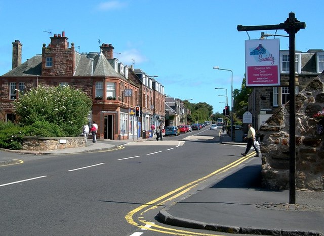
Gullane
Gullane ( GUL-ən or GIL-ən) is a town on the southern shore of the Firth of Forth in East Lothian on the east coast of Scotland. There has been a church...

Aberlady Bay
Aberlady Bay in East Lothian, Scotland lies between Aberlady and Gullane. In 1952, Aberlady Bay became the UK's first Local Nature Reserve (LNR) and is...
Gullane railway station
Gullane railway station served the village of Gullane in Scotland. It was served by the Aberlady, Gullane and North Berwick railway. This line diverged...
Nearby Amenities
Located within 500m of 56.038127,-2.8633248Have you been to Ironstone Cove?
Leave your review of Ironstone Cove below (or comments, questions and feedback).