Baughton

Settlement in Worcestershire Malvern Hills

England

Baughton

Earl's Croome church Earl's Croome church is dedicated to St Nicholas.  The church is Grade II* listed, see: <span class="nowrap"><a title="https://historicengland.org.uk/listing/the-list/list-entry/1302545?section=comments-and-photos" rel="nofollow ugc noopener" href="https://historicengland.org.uk/listing/the-list/list-entry/1302545?section=comments-and-photos">Link</a><img style="margin-left:2px;" alt="External link" title="External link - shift click to open in new window" src="https://s1.geograph.org.uk/img/external.png" width="10" height="10"/></span>
Earl's Croome church Credit: Philip Halling

Baughton is a small village located in the county of Worcestershire, England. Situated approximately 6 miles southeast of the city of Worcester, Baughton is nestled amidst the picturesque countryside that characterizes this region.

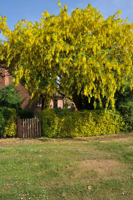
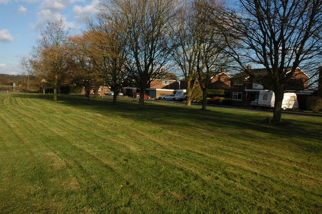
The village is known for its tranquil and idyllic setting, with rolling hills, lush green fields, and charming rural landscapes. It is a place that appeals to those seeking a peaceful and close-knit community away from the hustle and bustle of urban life.

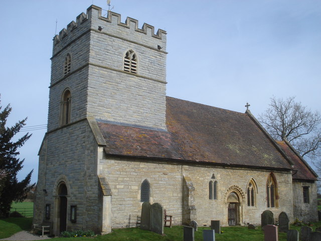
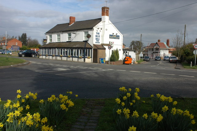
Baughton is home to a small population, with a tight-knit community spirit. The village boasts a range of amenities to cater to the needs of its residents, including a local pub, a village hall, and a primary school. The pub serves as a central hub for socializing and gathering, offering a cozy atmosphere and a place to unwind after a long day.

Although small, Baughton offers excellent access to the surrounding areas. The nearby city of Worcester provides all the amenities and services one might need, including shopping centers, restaurants, and leisure facilities. Additionally, the village is well-connected by road, making it easy to reach other towns and cities in Worcestershire and beyond.

Baughton is also known for its natural beauty, with numerous walking and cycling routes that allow residents and visitors to explore the stunning countryside that surrounds the village. The area is renowned for its scenic views, making it a popular destination for outdoor enthusiasts and nature lovers.

In conclusion, Baughton is a charming village in Worcestershire, offering a peaceful and close-knit community, beautiful countryside, and convenient access to nearby amenities. It is a place where residents can enjoy a relaxed lifestyle amidst stunning natural surroundings.

If you have any feedback on the listing, please let us know in the comments section below.

Baughton Images

Images are sourced within 2km of 52.075741/-2.177979 or Grid Reference SO8741. Thanks to Geograph Open Source API. All images are credited.

Earl's Croome church Earl's Croome church is dedicated to St Nicholas.  The church is Grade II* listed, see: <span class="nowrap"><a title="https://historicengland.org.uk/listing/the-list/list-entry/1302545?section=comments-and-photos" rel="nofollow ugc noopener" href="https://historicengland.org.uk/listing/the-list/list-entry/1302545?section=comments-and-photos">Link</a><img style="margin-left:2px;" alt="External link" title="External link - shift click to open in new window" src="https://s1.geograph.org.uk/img/external.png" width="10" height="10"/></span>
Earl's Croome church
Earl's Croome church is dedicated to St Nicholas. The church is Grade II* listed, see: LinkExternal link
Road approaching Earl's Croome The large house in the background is Earl's Croome Court which until 2002 was home to the late Earl of Coventry.
Road approaching Earl's Croome
The large house in the background is Earl's Croome Court which until 2002 was home to the late Earl of Coventry.
Toad in the road This sign warning of frogs and toads crossing the road first appeared last spring and then were removed at the end of the spawning season.  It is one of a pair <a href="https://www.geograph.org.uk/photo/2310293">SO8742 : Toad in the road</a> on this road out of Earl's Croome; the road is low lying with ditches and a pond nearby.
Toad in the road
This sign warning of frogs and toads crossing the road first appeared last spring and then were removed at the end of the spawning season. It is one of a pair SO8742 : Toad in the road on this road out of Earl's Croome; the road is low lying with ditches and a pond nearby.
Toad in the road This sign is one of a pair <a href="https://www.geograph.org.uk/photo/2310285">SO8742 : Toad in the road</a> on this road out of Earl's Croome.  The signs warning of frogs and toads crossing the road first appeared last spring and then were removed at the end of the spawning season.   The road is low lying with ditches and a pond nearby.
Toad in the road
This sign is one of a pair SO8742 : Toad in the road on this road out of Earl's Croome. The signs warning of frogs and toads crossing the road first appeared last spring and then were removed at the end of the spawning season. The road is low lying with ditches and a pond nearby.
Houses on Quay Lane Houses on Quay Lane, Earl's Croome.
Houses on Quay Lane
Houses on Quay Lane, Earl's Croome.
Earls Grange, Earl's Croome These four houses in Earls Grange were built in 1997 on land which used to be the play area of the former village school in Earl's Croome.
Earls Grange, Earl's Croome
These four houses in Earls Grange were built in 1997 on land which used to be the play area of the former village school in Earl's Croome.
Play area, Earl's Croome Formerly part of school play area this land was set-aside as a play area after to the school was closed and redeveloped.
Play area, Earl's Croome
Formerly part of school play area this land was set-aside as a play area after to the school was closed and redeveloped.
Hawthorn blossom Hawthorn blossom in Earl's Croome.
Hawthorn blossom
Hawthorn blossom in Earl's Croome.
Hawthorn blossom This Hawthorn tree Earl's Croome is heavy in blossom.
Hawthorn blossom
This Hawthorn tree Earl's Croome is heavy in blossom.
Apple tree in blossom Apple tree in blossom in Earl's Croome.
Apple tree in blossom
Apple tree in blossom in Earl's Croome.
Laburnum in flower Laburnum in flower in Orchard Close, Earl's Croome.
Laburnum in flower
Laburnum in flower in Orchard Close, Earl's Croome.
Orchard Close, Earl's Croome
Silver birch trees Silver birch trees in Earl's Croome.
Silver birch trees
Silver birch trees in Earl's Croome.
Road junction in Earl's Croome Road junction of Quay Lane and the road to Dunstall in Earl's Croome.
Road junction in Earl's Croome
Road junction of Quay Lane and the road to Dunstall in Earl's Croome.
Blank road sign, Earl's Croome Each Spring during the breeding season a sign warning of frogs and toads in the road appears here for a couple of months.  See: <a href="https://www.geograph.org.uk/photo/2310285">SO8742 : Toad in the road</a>
Blank road sign, Earl's Croome
Each Spring during the breeding season a sign warning of frogs and toads in the road appears here for a couple of months. See: SO8742 : Toad in the road
Parking area, Earl's Croome Parking area beside the Village Hall and opposite these cottages in Earl's Croome.
Parking area, Earl's Croome
Parking area beside the Village Hall and opposite these cottages in Earl's Croome.
Cottages in Earl's Croome These cottages are built in a familiar architectural style and can be found in a number of villages in south Worcestershire as they were built by the Croome Estate. They were built over a period of years through the late nineteenth and early twentieth centuries during the life of the 9th Earl of Coventry.
Cottages in Earl's Croome
These cottages are built in a familiar architectural style and can be found in a number of villages in south Worcestershire as they were built by the Croome Estate. They were built over a period of years through the late nineteenth and early twentieth centuries during the life of the 9th Earl of Coventry.
Earls Grange Private road to houses in Earls Grange in the village of Earl's Croome.
Earls Grange
Private road to houses in Earls Grange in the village of Earl's Croome.
Show me another place!

Baughton is located at Grid Ref: SO8741 (Lat: 52.075741, Lng: -2.177979)

Administrative County: Worcestershire

District: Malvern Hills

Police Authority: West Mercia

What 3 Words

///nerd.soaks.bleaker. Near Upton upon Severn, Worcestershire

Nearby Locations

Baughton Smithmoor Common

Related Wikis

Baughton

Baughton is a hamlet in Worcestershire, England. The Population of Baughton is 193. The population as a whole is older than the national average and the...

Earls Croome

Earl's Croome is a village and civil parish in the Malvern Hills District in the county of Worcestershire, England. It had a population of 243 in 2021...

Dunstall Common

Dunstall Common is a village in Worcestershire, England.

Ryall, Worcestershire

Ryall is a village in the south of Worcestershire, England, on the east bank of the River Severn, near Upton-upon-Severn on the opposite bank. The village...

Hill Croome

Hill Croome is a village, and a civil parish which covers 1000 acres, in the Malvern Hills District in the county of Worcestershire, England. Historically...

Naunton, Worcestershire

Naunton is a village in the parish of Ripple, near Upton-upon-Severn in Worcestershire, England. Records for Naunton date back to the 12th Century, where...
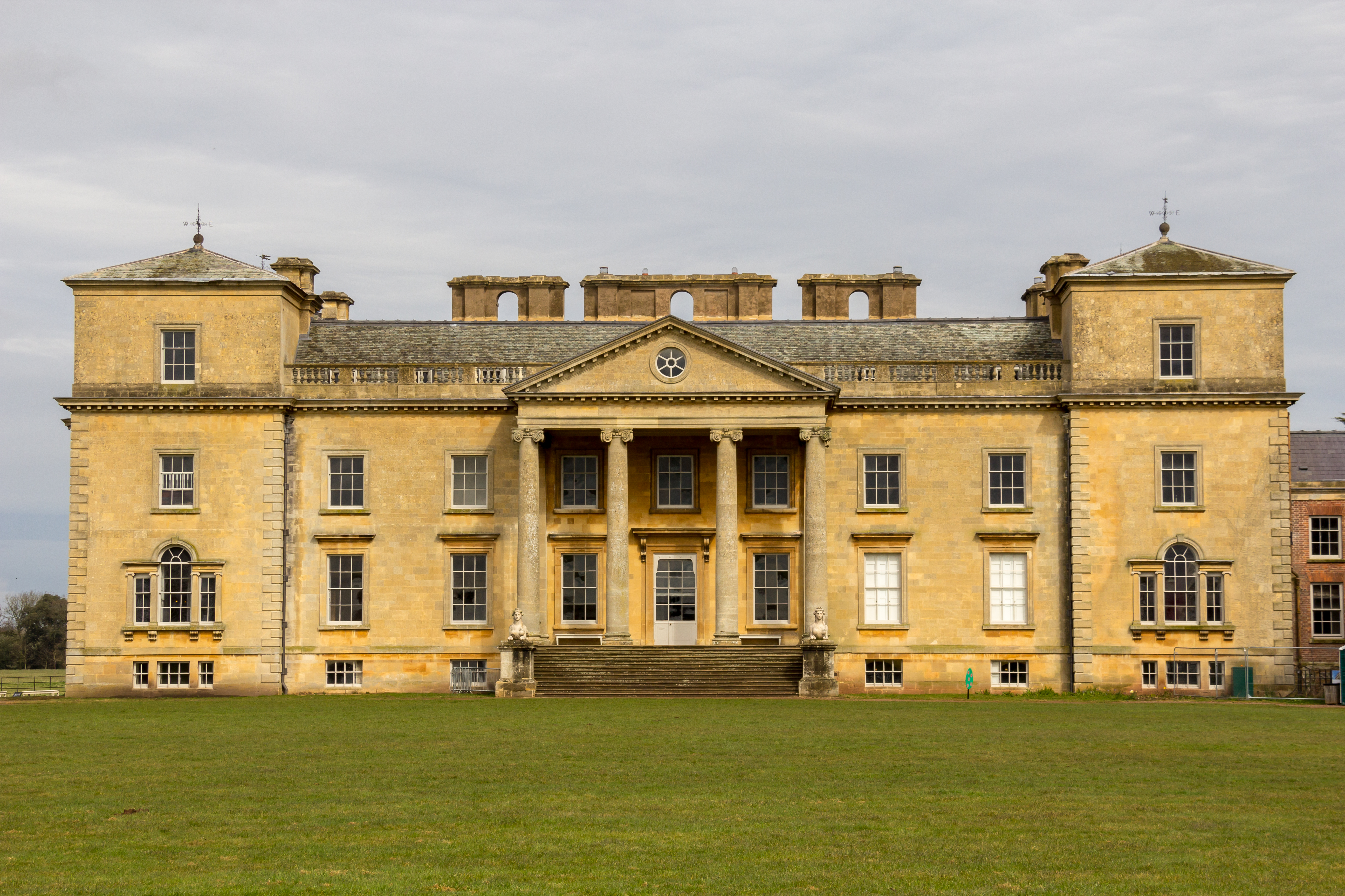
Croome Court

Croome Court is a mid-18th-century Neo-Palladian mansion surrounded by extensive landscaped parkland at Croome D'Abitot, near Upton-upon-Severn in south...

Horewell Forest

Horewell Forest was a royal forest, i. e. a royal game preserve. In the west, it bordered the river Severn, and Strensham in the south and extended to...

Nearby Amenities

Located within 500m of 52.075741,-2.177979
Telephone Box
Naptan AtcoCode: 2000G061700
Naptan Bearing: NE
Naptan BusStopType: CUS
Naptan CommonName: Telephone Box
Naptan Indicator: Adj
Naptan Landmark: Parish notice Board
Naptan NaptanCode: wocdatdt
Naptan Street: A4104
Naptan Verified: no
Source: naptan_import
Lat/Long: 52.0769433/-2.1778576
Telephone Box
Naptan AtcoCode: 2000G061701
Naptan Bearing: SW
Naptan BusStopType: CUS
Naptan CommonName: Telephone Box
Naptan Indicator: Opp
Naptan Landmark: Parish Notice Board
Naptan NaptanCode: wocdatdw
Naptan Street: A4104
Naptan Verified: no
Source: naptan_import
Lat/Long: 52.0768747/-2.1777685
Fixme: This speed-limit sign-pair also forms the Village Limits of "Baughton". How to draw a polygon connecting these signs to form village boundary ?
Lat/Long: 52.0768704/-2.172253
Fixme: 30mph E of here; NSL W of here. Village Limits sign.
Fixme2: Again, I wish someone would come up with a method of saying which way a sign is pointing.
Maxspeed: 30 mph
Lat/Long: 52.0754515/-2.1834256
Post Box
Collection Plate: CP7
Collection Times: Mo-Fr 16:30; Sa 08:00
Historic Operator: Post Office
Post Box Type: lamp
Ref: WR8 219
Royal Cypher: EIIR
Royal Cypher Wikidata: Q33102113
Source: GPS Survey
Lat/Long: 52.0769985/-2.1782281
Board Type: notice
Information: board
Source: Walking Survey
Lat/Long: 52.0769725/-2.1782093
Booth: K6
Covered: booth
Description: This is an old red phone box adopted and converted into some sort of leaflet distribution thing
Disused Amenity: telephone
Man Made: telephone_box
Tourism: information
Lat/Long: 52.0766575/-2.1783329
Fixme: There is a street name plate style sign here saying "Elmfield". Not obvious as to which section of road is being referred to thereby
Lat/Long: 52.0752743/-2.1781987
Recycling
Recycling Clothes: yes
Recycling Shoes: yes
Source: Walking Survey; Bing
Lat/Long: 52.0770378/-2.1731626
Fixme: This is a Severn-Trent Water Pumping Stn.
Lat/Long: 52.0757182/-2.1818042
Barrier: entrance
Lat/Long: 52.0786174/-2.1750643
Baughton
Place: village
Wikidata: Q4873481
Lat/Long: 52.0767375/-2.1779083
Power: pole
Lat/Long: 52.0753444/-2.1851447
Moat Farm
Power: pole
Transformer: distribution
Voltage Primary: 11000
Lat/Long: 52.0763808/-2.1851087
Baughton
Location Transition: yes
Power: pole
Transformer: distribution
Voltage Primary: 11000
Lat/Long: 52.0771907/-2.1777445
Power: pole
Lat/Long: 52.0786909/-2.1781589
Power: pole
Lat/Long: 52.0775806/-2.1778531
Power: pole
Lat/Long: 52.0778724/-2.1779296
Power: pole
Lat/Long: 52.0797335/-2.1792009
Baughton Coach House
Location Transition: yes
Power: pole
Transformer: distribution
Lat/Long: 52.0759907/-2.1773073
Location Transition: yes
Power: pole
Lat/Long: 52.0752142/-2.1851521
Power: pole
Lat/Long: 52.0792752/-2.1787456
The data included in this document is from www.openstreetmap.org. The data is made available under ODbL.

Have you been to Baughton?

Leave your review of Baughton below (or comments, questions and feedback).