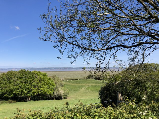
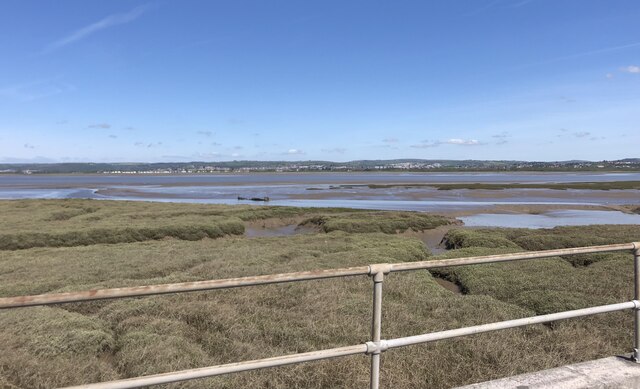
Salthouse Pill
Sea, Estuary, Creek in Glamorgan
Wales
Salthouse Pill
The requested URL returned error: 429 Too Many Requests
If you have any feedback on the listing, please let us know in the comments section below.
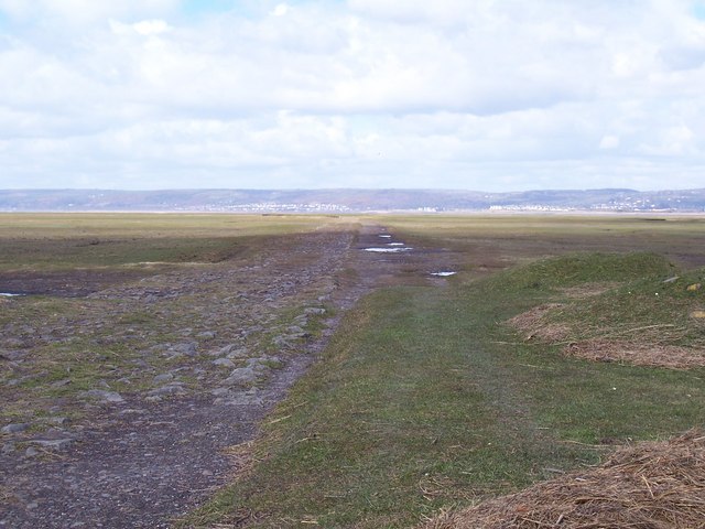
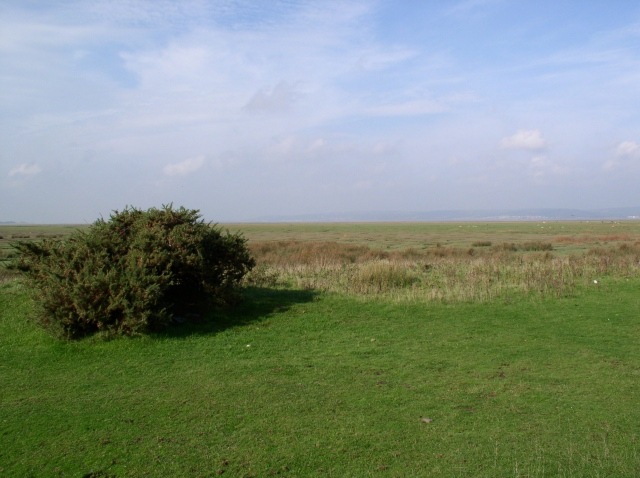
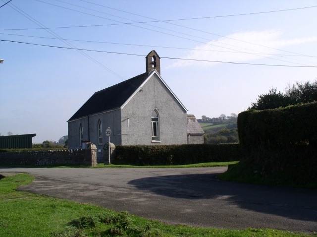
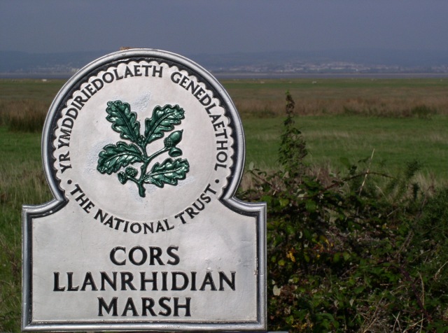
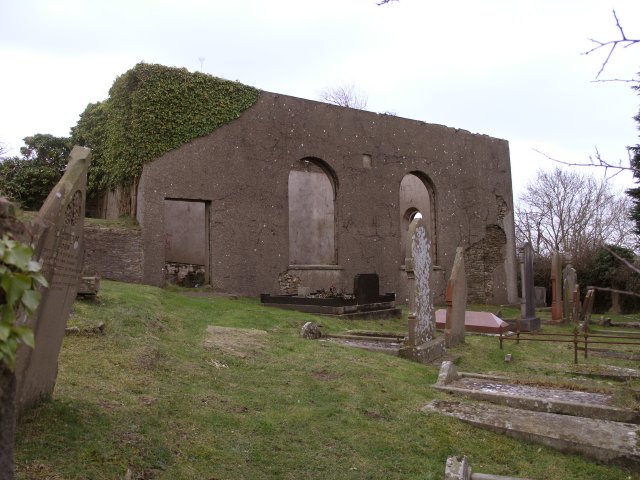
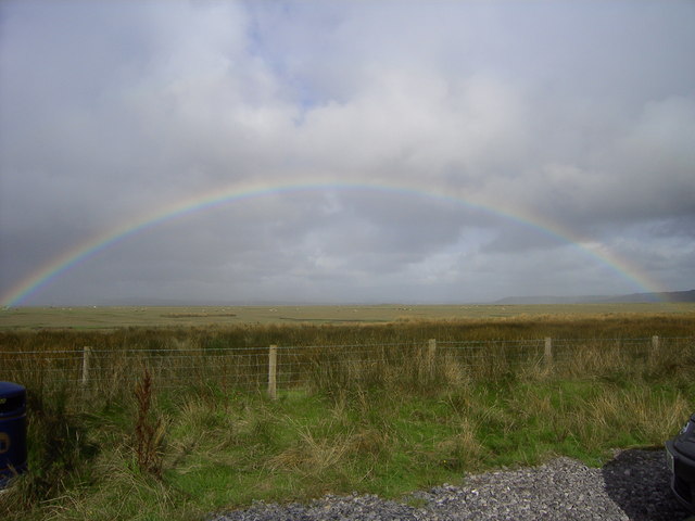
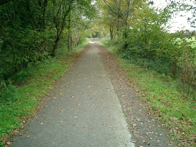
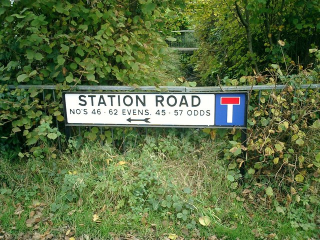
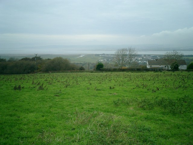
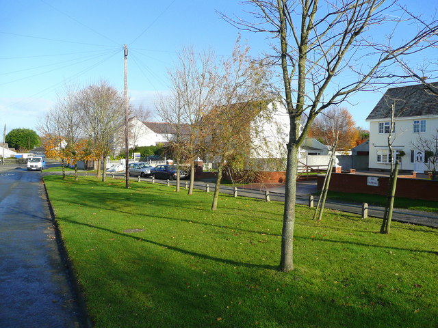
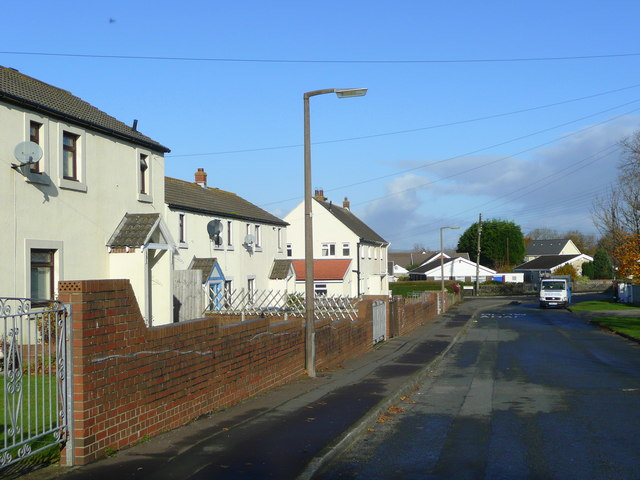
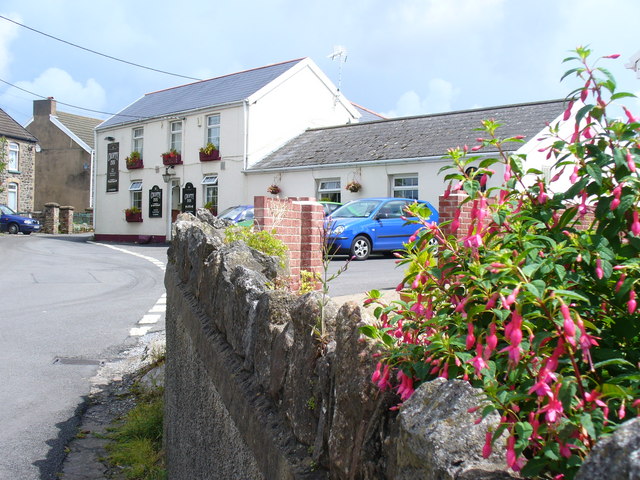
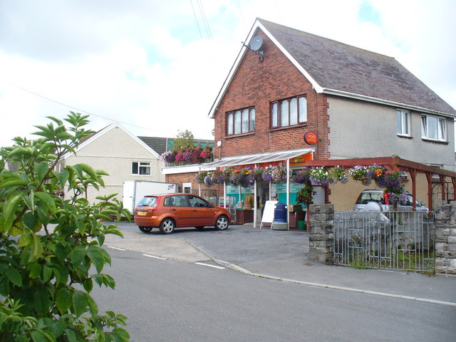
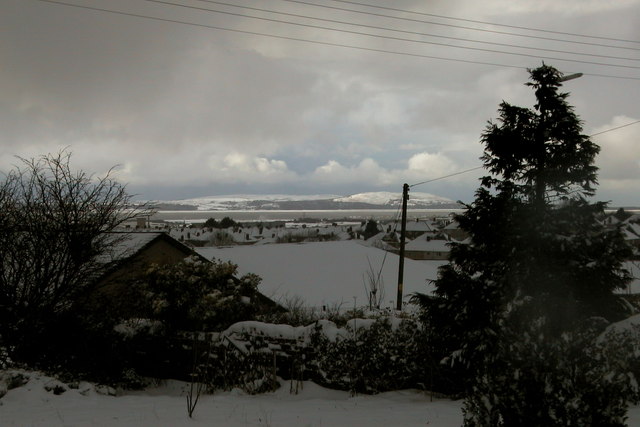
Salthouse Pill Images
Images are sourced within 2km of 51.636262/-4.1379672 or Grid Reference SS5295. Thanks to Geograph Open Source API. All images are credited.


Salthouse Pill is located at Grid Ref: SS5295 (Lat: 51.636262, Lng: -4.1379672)
Unitary Authority: Swansea
Police Authority: South Wales
What 3 Words
///bookings.plunger.reefs. Near Crofty, Swansea
Nearby Locations
Related Wikis

Wernffrwd
Wernffrwd (Gwernffrwd) is a village in the south of Wales. It is located approximately 8.5 miles (13.7 km) from Swansea, and is within the Community of...
Llanmorlais railway station
Llanmorlais railway station served the village of Llanmorlais, in the historical county of West Glamorgan, Wales, from 1884 to 1957 on the Llanmorlais...

Gower (UK Parliament constituency)
Gower (Welsh: Gŵyr) is a constituency created in 1885 and represented in the House of Commons of the UK Parliament by one Member of Parliament (MP). Tonia...

Lordship of Gower
Gower was an ancient marcher lordship of Deheubarth in South Wales. == Creation of Lordship == Prior to the Norman invasion, the district was the commote...
Nearby Amenities
Located within 500m of 51.636262,-4.1379672Have you been to Salthouse Pill?
Leave your review of Salthouse Pill below (or comments, questions and feedback).