Tamar Canal
Sea, Estuary, Creek in Devon
England
Tamar Canal
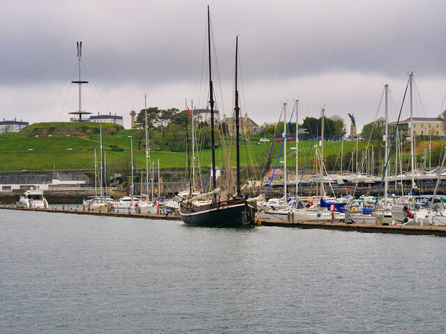
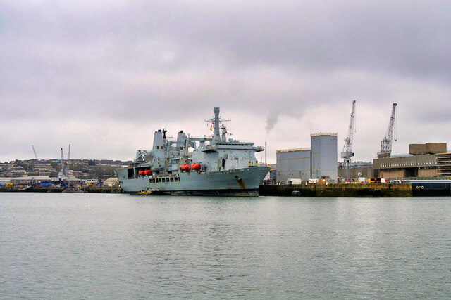
Tamar Canal in Devon is a man-made waterway that connects the River Tamar to the Tamar Estuary. The canal was constructed in the early 19th century to provide a direct route for ships to travel between the estuary and the river, avoiding the treacherous waters of the estuary. The canal is around 1.7 miles long and runs parallel to the river for much of its length.
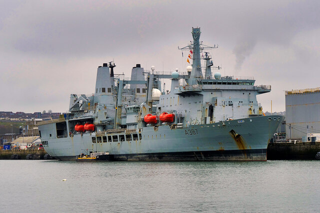
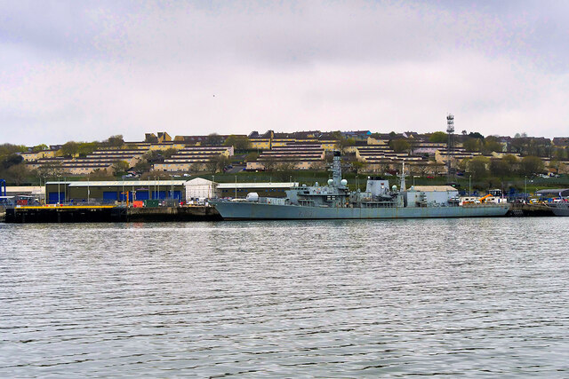
The Tamar Canal is an important part of the local maritime history and is still in use today by recreational boaters and small commercial vessels. The canal is surrounded by picturesque countryside, with rolling hills and lush greenery lining its banks.
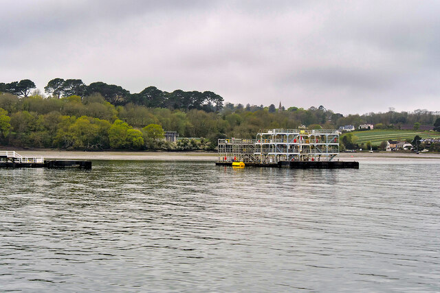
The Tamar Canal is a popular spot for fishing, with a variety of fish species to be found in its waters. Birdwatchers also frequent the canal, as it is home to a wide array of bird species, including herons, kingfishers, and swans.
Overall, Tamar Canal is a tranquil and scenic waterway that offers visitors a chance to explore the natural beauty of Devon while learning about its rich maritime heritage.
If you have any feedback on the listing, please let us know in the comments section below.
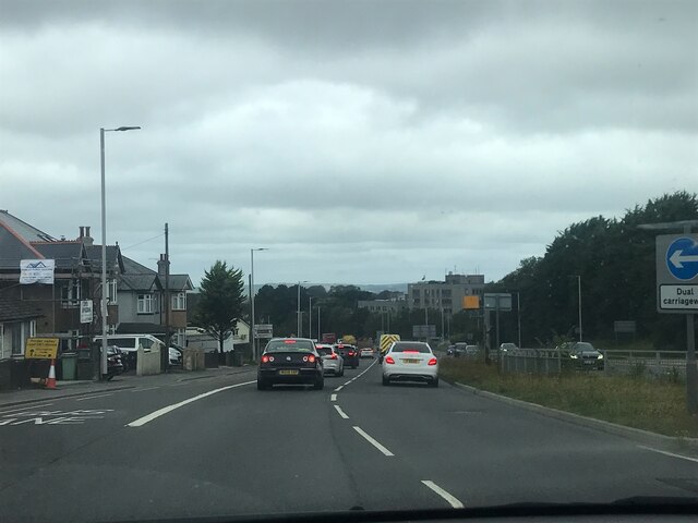
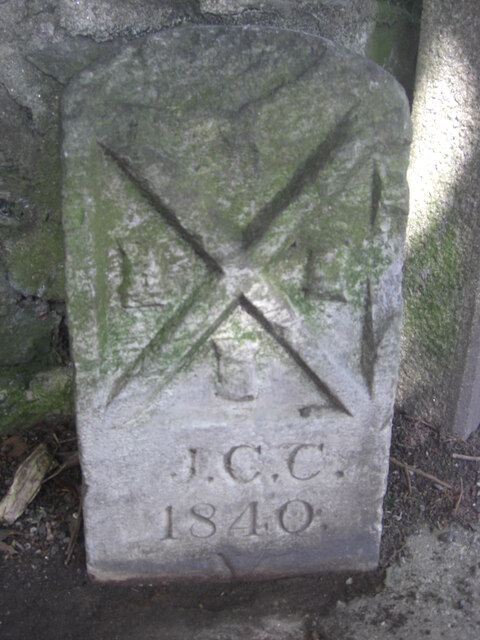
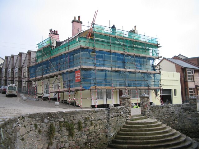
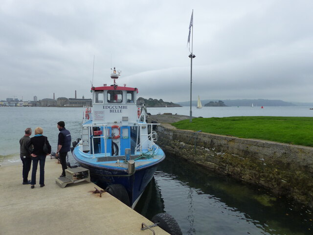
Tamar Canal Images
Images are sourced within 2km of 50.376809/-4.1839086 or Grid Reference SX4455. Thanks to Geograph Open Source API. All images are credited.


Tamar Canal is located at Grid Ref: SX4455 (Lat: 50.376809, Lng: -4.1839086)
Unitary Authority: Plymouth
Police Authority: Devon and Cornwall
What 3 Words
///tribune.ashes.doors. Near Torpoint, Cornwall
Nearby Locations
Related Wikis
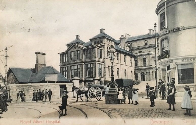
Plymouth General Hospital
Plymouth General Hospital was an acute general hospital in Plymouth, Devon. == History == The hospital has it origins in the Dock and Stonehouse Public...
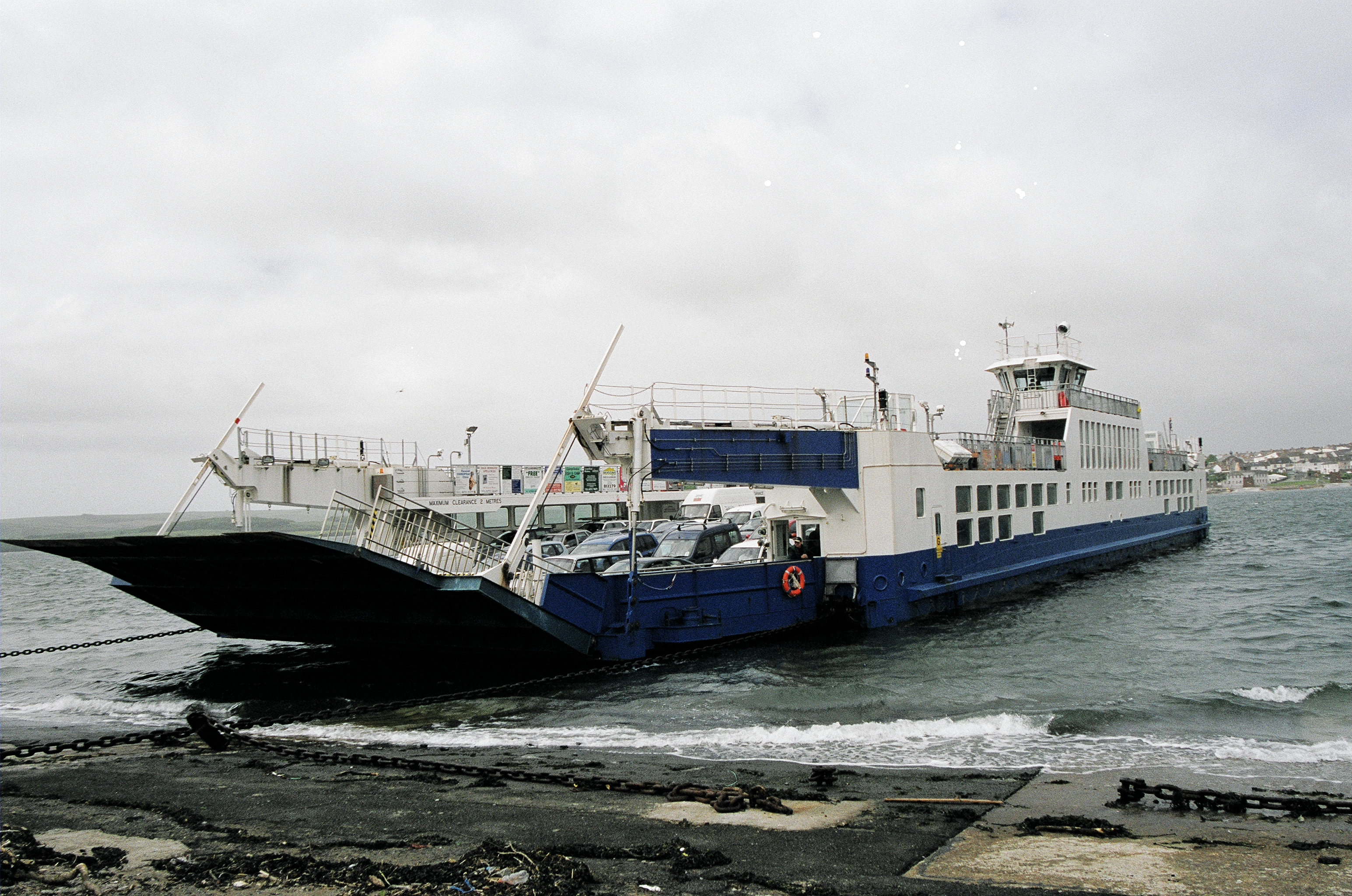
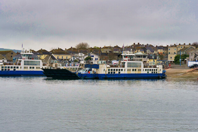
Torpoint Ferry
The Torpoint Ferry is a car and pedestrian chain ferry connecting the A374 which crosses the Hamoaze, a stretch of water at the mouth of the River Tamar...

HMS Courageous (S50)
HMS Courageous (S50) is a decommissioned Churchill-class nuclear fleet submarine in service with the Royal Navy from 1971. She is now a museum ship managed...

Morice Town
Morice Town is a suburb of Plymouth in the English county of Devon. It named after Sir William Morice who owned the land at the time that it was being...
Nearby Amenities
Located within 500m of 50.376809,-4.1839086Have you been to Tamar Canal?
Leave your review of Tamar Canal below (or comments, questions and feedback).