Porth Ogo'r-geifr
Sea, Estuary, Creek in Anglesey
Wales
Porth Ogo'r-geifr
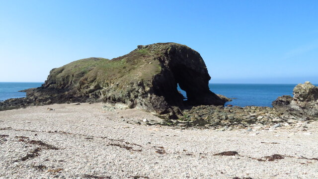
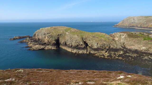
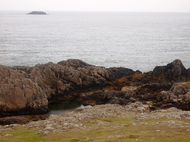
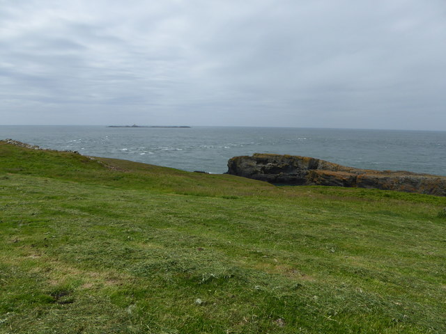
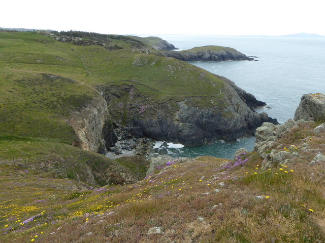
Porth Ogo'r-geifr is a picturesque coastal area located on the northwest coast of the island of Anglesey in Wales. It is a small bay that features a sea, estuary, and creek, making it a diverse and unique natural attraction.
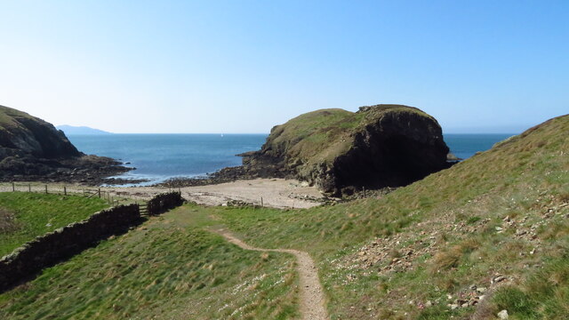
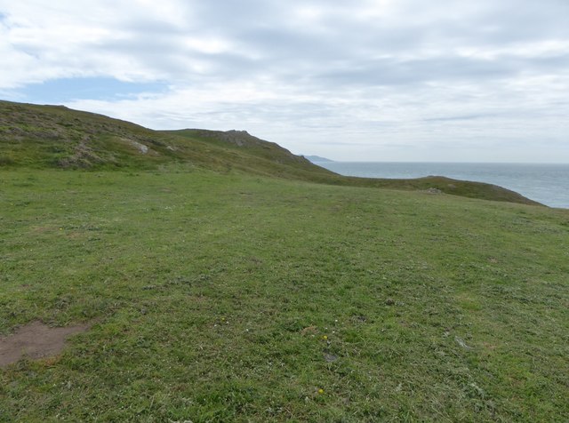
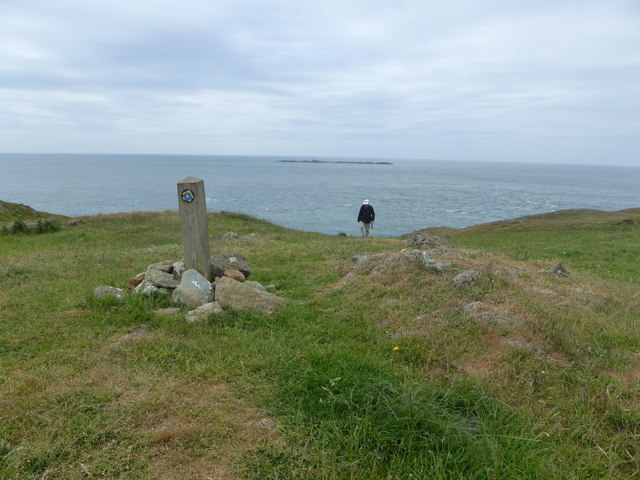
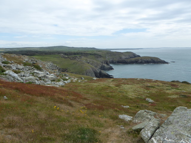
The bay is nestled between rocky cliffs and offers stunning views of the Irish Sea. The clear blue waters of the sea are a popular spot for swimming and water sports during the summer months. The bay's sandy beach also attracts visitors who enjoy sunbathing and picnicking.
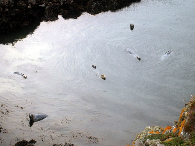
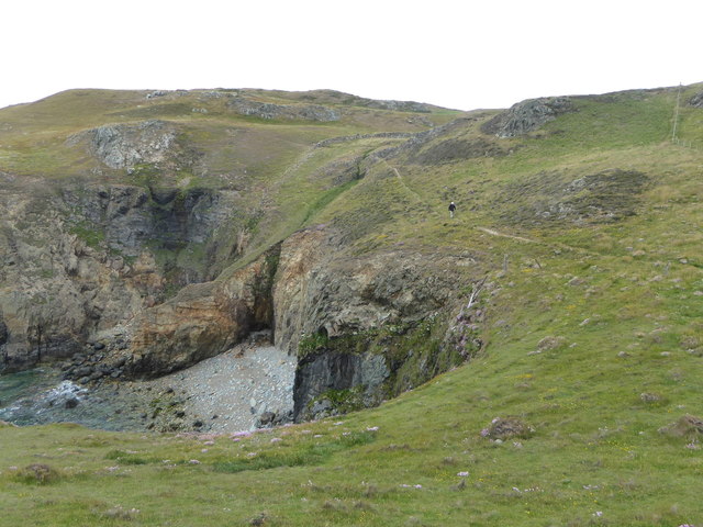
At low tide, Porth Ogo'r-geifr reveals a hidden estuary and creek that meander through the surrounding landscape. These calm and shallow waters provide a sanctuary for various bird species, making it a haven for birdwatchers and nature enthusiasts. Common sightings include herons, curlews, and oystercatchers.
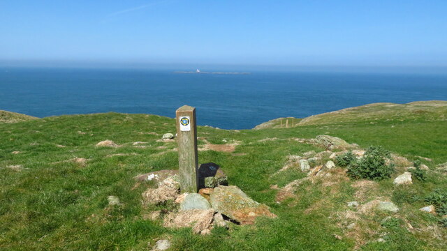
The area surrounding Porth Ogo'r-geifr is rich in natural beauty and wildlife. The cliffs and hillsides are covered in lush vegetation, providing a habitat for a variety of flora and fauna. Visitors can take leisurely walks along the coastal path that winds through the area, offering breathtaking views of the bay and its surroundings.
Porth Ogo'r-geifr is a tranquil and secluded spot, perfect for those looking to escape the hustle and bustle of city life. Its combination of sea, estuary, and creek make it a hidden gem on the island of Anglesey, offering a unique and diverse coastal experience for all who visit.
If you have any feedback on the listing, please let us know in the comments section below.
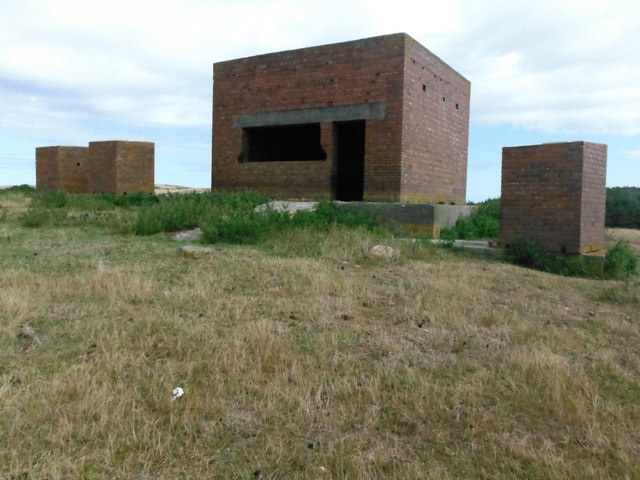
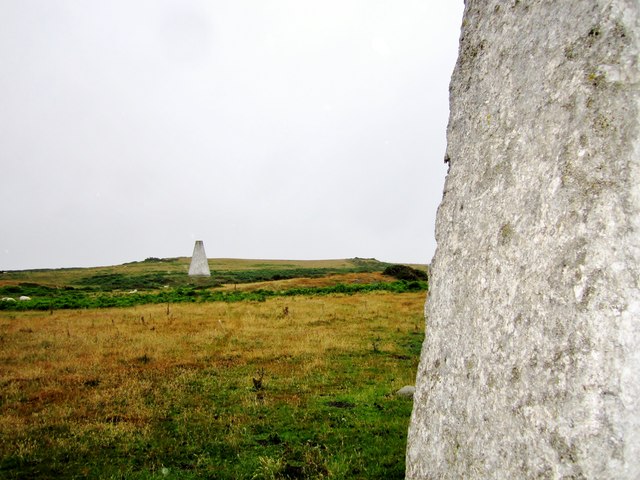
Porth Ogo'r-geifr Images
Images are sourced within 2km of 53.404218/-4.5718259 or Grid Reference SH2992. Thanks to Geograph Open Source API. All images are credited.
Porth Ogo'r-geifr is located at Grid Ref: SH2992 (Lat: 53.404218, Lng: -4.5718259)
Unitary Authority: Isle of Anglesey
Police Authority: North Wales
What 3 Words
///stepping.slugs.fictional. Near Llanfaethlu, Isle of Anglesey
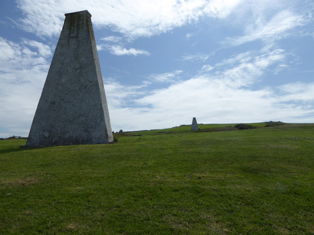
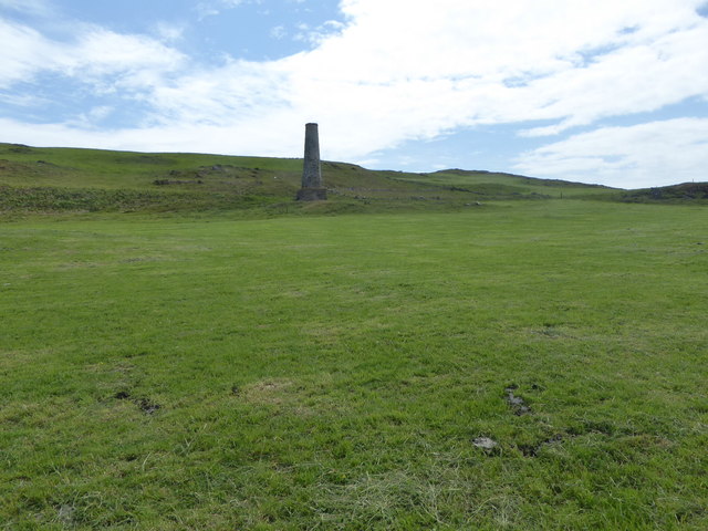
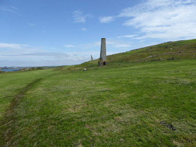
Nearby Locations
Related Wikis
Carmel Head
Carmel Head (Welsh: Trwyn y Gadair) is a prominent coastal headland on the northwest tip of the island of Anglesey. It is a designated SSSI because of...
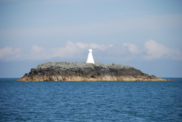
West Mouse
West Mouse (Welsh: Maen y Bugail) is an islet lying 1.1 kilometres (0.68 mi) off the north-west coast of Anglesey, Wales. Its maximum dimensions are 92...
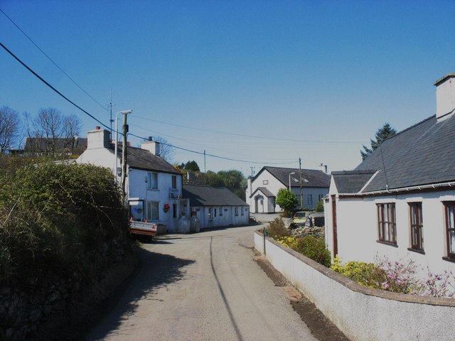
Llanfair-yng-Nghornwy
Llanfair-yng-Nghornwy () is a village in Anglesey, in north-west Wales. == See also == St Mary's Church, Llanfair-yng-Nghornwy == References ==

SS Castilian (1919)
SS Castilian was a British cargo steamship and is now a dangerous wreck in the Irish Sea off the coast of North Wales. She was built in 1919 to a standard...

Clegir Mawr
Clegir Mawr is a Site of Special Scientific Interest (SSSI) in the community of Cylch-y-Garn in the north-west of the island of Anglesey, Wales. It is...
Henborth
Henborth is a Site of Special Scientific Interest (or SSSI) in Anglesey, North Wales. It has been designated as a Site of Special Scientific Interest since...
Caerau, Anglesey
Caerau, Cylch-y-Garn is an area in the community of Cylch-y-Garn, Isle of Anglesey, Wales. == Caerau Mansion == There is a group of buildings at Caerau...
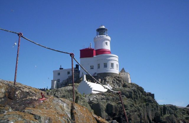
Skerries Lighthouse
The Skerries Lighthouse was first lit on the highest point of the largest island in The Skerries, Isle of Anglesey after 1716. A patent for the lighthouse...
Nearby Amenities
Located within 500m of 53.404218,-4.5718259Have you been to Porth Ogo'r-geifr?
Leave your review of Porth Ogo'r-geifr below (or comments, questions and feedback).