Penbrynyreglwys

Hill, Mountain in Anglesey

Wales

Penbrynyreglwys

Gunnery Range Marker Shelter Seen this structure from a distance previously, lucky enough to get close whilst walking Anglesey Coastal Path.
Gunnery Range Marker Shelter Credit: Arthur C Harris

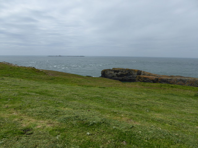
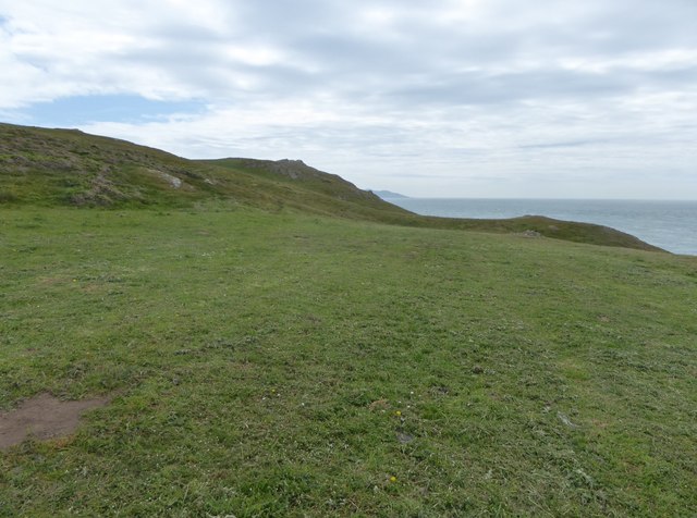
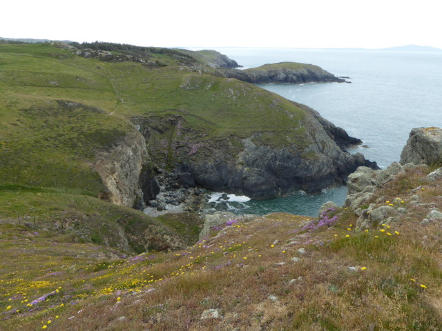
Penbrynyreglwys, located in Anglesey, Wales, is a prominent hill/mountain that offers breathtaking views and a rich natural environment. Rising to a height of 440 meters (1,444 feet), it is a popular destination for hikers and nature enthusiasts.

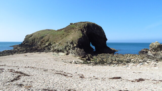
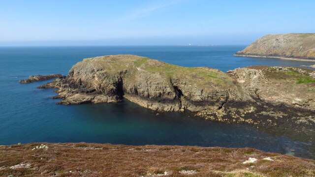
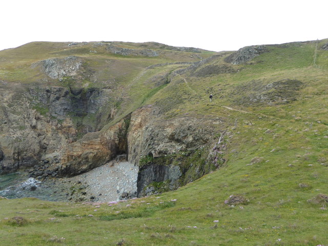
The hill/mountain is characterized by its distinct shape and rugged terrain. It is covered in heather and grasses, creating a colorful landscape that changes with the seasons. The slopes are moderately steep, providing a challenging but rewarding climb for visitors.

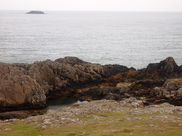
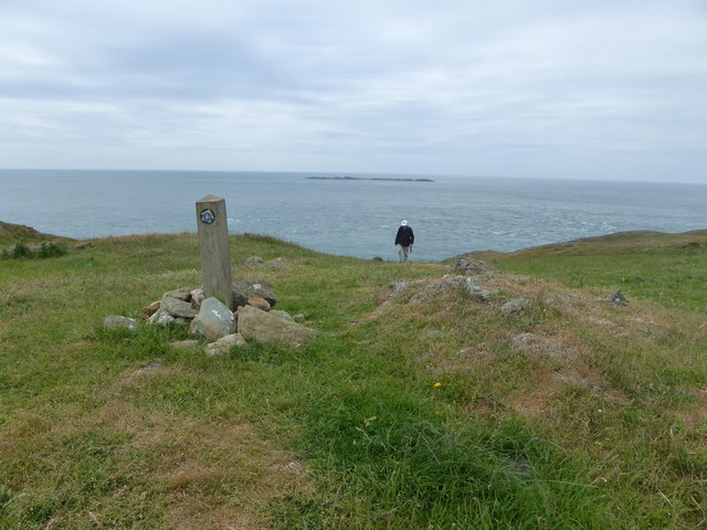
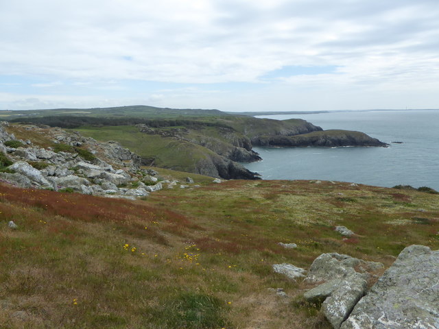
At the summit, hikers are rewarded with panoramic views of the surrounding countryside, including the Irish Sea and the Snowdonia mountain range. On clear days, it is even possible to see the Isle of Man in the distance.

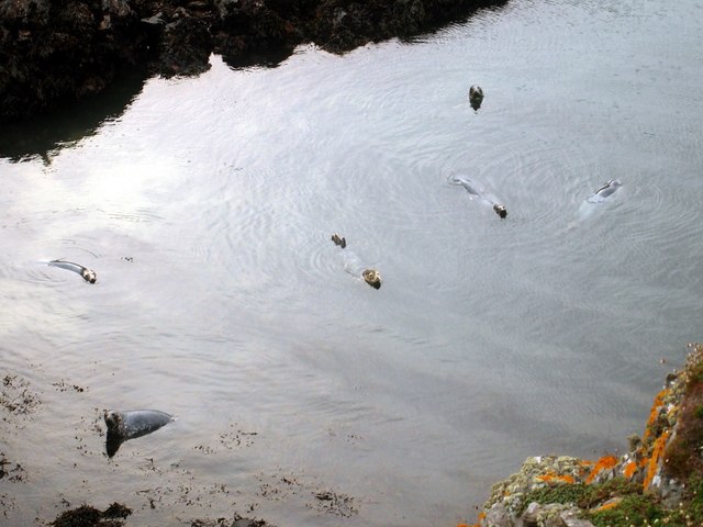
Penbrynyreglwys is home to a variety of wildlife, including several species of birds, such as skylarks and meadow pipits. The hill/mountain is also known for its diverse plant life, with rare species of mosses and lichens found in the rocky crevices.

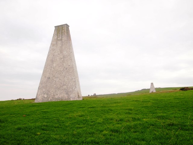
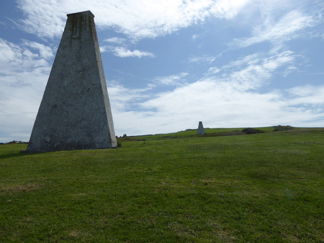
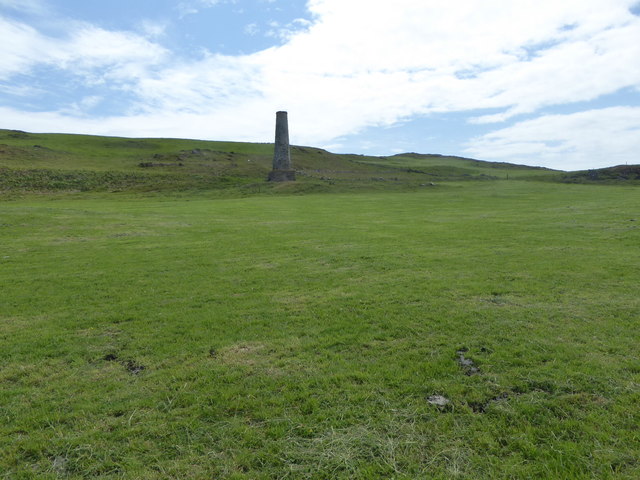
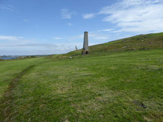
Visitors to Penbrynyreglwys can explore the area through a network of well-maintained footpaths. Additionally, there are several designated viewpoints and picnic areas, allowing visitors to relax and take in the natural beauty of the surroundings.

Overall, Penbrynyreglwys is a stunning hill/mountain that offers both a challenging climb and a rewarding natural experience. Its diverse wildlife, breathtaking views, and tranquil atmosphere make it a must-visit destination for nature lovers and outdoor enthusiasts.

If you have any feedback on the listing, please let us know in the comments section below.

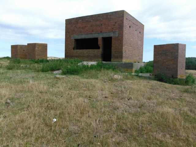
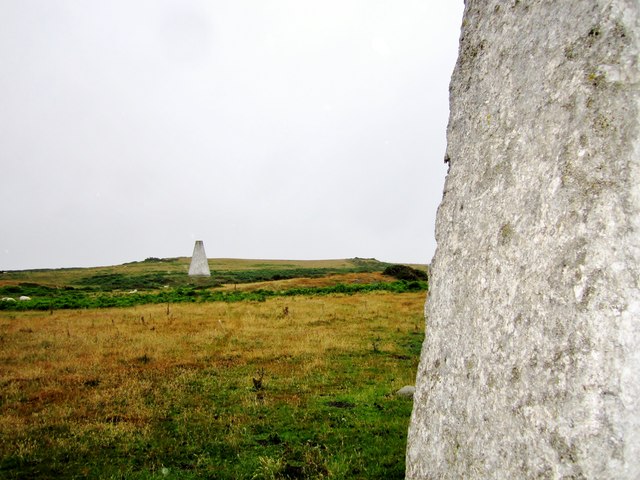
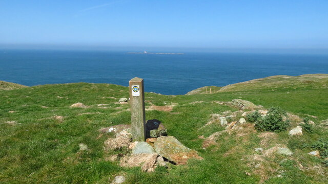
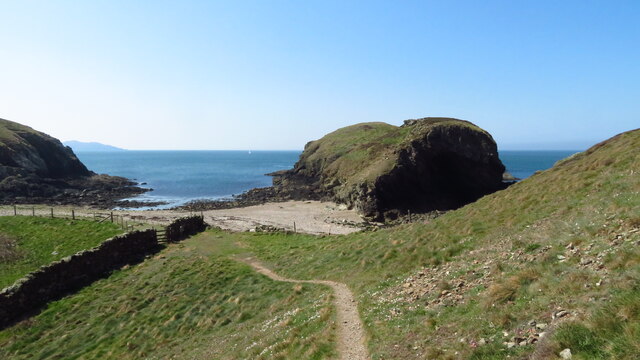
Penbrynyreglwys Images

Images are sourced within 2km of 53.401079/-4.5689285 or Grid Reference SH2992. Thanks to Geograph Open Source API. All images are credited.

Gunnery Range Marker Shelter Seen this structure from a distance previously, lucky enough to get close whilst walking Anglesey Coastal Path.
Gunnery Range Marker Shelter
Seen this structure from a distance previously, lucky enough to get close whilst walking Anglesey Coastal Path.
Navigation markers The Coal Rock Beacons known locally as the White Ladies.
<span class="nowrap"><a title="http://en.wikipedia.org/wiki/Carmel_Head" rel="nofollow ugc noopener" href="http://en.wikipedia.org/wiki/Carmel_Head">Link</a><img style="margin-left:2px;" alt="External link" title="External link - shift click to open in new window" src="https://s1.geograph.org.uk/img/external.png" width="10" height="10"/></span>
Navigation markers
The Coal Rock Beacons known locally as the White Ladies. LinkExternal link
Anglesey Coast Path at Carmel Head
Ynys y Fydlyn, S of Carmel Head
Coal Rock Pilot Beacons, Carmel Head Also known as the 'White Ladies'.  They were erected by Trinity House in the 1830's as an aid to navigation into the harbour at Holyhead and probably used in conjuction with the marker on West Mouse
Coal Rock Pilot Beacons, Carmel Head
Also known as the 'White Ladies'. They were erected by Trinity House in the 1830's as an aid to navigation into the harbour at Holyhead and probably used in conjuction with the marker on West Mouse
Grey Seals, Porth y Dyfn
Carmel Head
Carmel Head
White Lady beacon The beacons were erected on Carmel Head by Trinity House in the 1830's as an aid to navigation into the harbour at Holyhead and probably used in conjuction with the marker on West Mouse.
White Lady beacon
The beacons were erected on Carmel Head by Trinity House in the 1830's as an aid to navigation into the harbour at Holyhead and probably used in conjuction with the marker on West Mouse.
Chimney on Carmel Head The remains of copper workings on the headland.
Chimney on Carmel Head
The remains of copper workings on the headland.
Chimney, Carmel Head The remains of copper workings on the headland. Just to the left of the chimney is one of the White Ladies, marker to aid navigation at sea.
Chimney, Carmel Head
The remains of copper workings on the headland. Just to the left of the chimney is one of the White Ladies, marker to aid navigation at sea.
Anglesey Coast Path at Carmel Head Out to sea are the Skerries, a group of sparsely vegetated rocky islets lying 3 kilometres offshore from Carmel Head. They are important as a breeding site for seabirds, and they attract divers, who come to visit the numerous shipwrecks. The Skerries Lighthouse sits atop the highest point in the islands.
Anglesey Coast Path at Carmel Head
Out to sea are the Skerries, a group of sparsely vegetated rocky islets lying 3 kilometres offshore from Carmel Head. They are important as a breeding site for seabirds, and they attract divers, who come to visit the numerous shipwrecks. The Skerries Lighthouse sits atop the highest point in the islands.
The western end of Carmel Head The Anglesey Coast Path reaches the westernmost part of its journey along the north coast of Anglesey.
The western end of Carmel Head
The Anglesey Coast Path reaches the westernmost part of its journey along the north coast of Anglesey.
Anglesey Coast Path marker On Carmel Head, where the path turns eastwards. The Skerries are on the horizon.
Anglesey Coast Path marker
On Carmel Head, where the path turns eastwards. The Skerries are on the horizon.
North-west coast of Anglesey
Porth yr Hwch
Porth yr Hwch
Porth yr Hwch From the south. The Anglesey Coast path is quite well defined here.
Porth yr Hwch
From the south. The Anglesey Coast path is quite well defined here.
Show me another place!

Penbrynyreglwys is located at Grid Ref: SH2992 (Lat: 53.401079, Lng: -4.5689285)

Unitary Authority: Isle of Anglesey

Police Authority: North Wales

What 3 Words

///secure.reports.outs. Near Llanfaethlu, Isle of Anglesey

Related Wikis

Carmel Head

Carmel Head (Welsh: Trwyn y Gadair) is a prominent coastal headland on the northwest tip of the island of Anglesey. It is a designated SSSI because of...

Llanfair-yng-Nghornwy

Llanfair-yng-Nghornwy () is a village in Anglesey, in north-west Wales. == See also == St Mary's Church, Llanfair-yng-Nghornwy == References ==
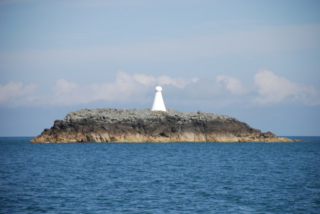
West Mouse

West Mouse (Welsh: Maen y Bugail) is an islet lying 1.1 kilometres (0.68 mi) off the north-west coast of Anglesey, Wales. Its maximum dimensions are 92...

Clegir Mawr

Clegir Mawr is a Site of Special Scientific Interest (SSSI) in the community of Cylch-y-Garn in the north-west of the island of Anglesey, Wales. It is...

Nearby Amenities

Located within 500m of 53.401079,-4.5689285
Porth-y-Dyfn
Created By: Potlatch 0.8b
Place: locality
Lat/Long: 53.4051021/-4.5695721
Penbrynyreglwys
Alt Name: Pen Bryn-yr-Eglwys
Ele: 81
Natural: peak
Note: http://vici.org/vici/12528
Source: npe
Website: http://www.coflein.gov.uk/en/site/43547/
Wikidata: Q106710328
Lat/Long: 53.4011108/-4.5687138
Barrier: stile
Lat/Long: 53.4038716/-4.5658842
Barrier: kissing_gate
Lat/Long: 53.3985281/-4.5696861
Historic: monument
Lat/Long: 53.4039359/-4.5649491
Carmel Head
Name Cy: Trwyn y Gadair
Tourism: information
Website: https://en.wikipedia.org/wiki/Carmel_Head
Wikidata: Q5043281
Lat/Long: 53.4033169/-4.5736067
Porth yr Hwch Fach
Natural: bay
Lat/Long: 53.3988062/-4.5738648
Porth yr Hwch
Natural: bay
Lat/Long: 53.3979745/-4.5718906
The data included in this document is from www.openstreetmap.org. The data is made available under ODbL.

Have you been to Penbrynyreglwys?

Leave your review of Penbrynyreglwys below (or comments, questions and feedback).