Port Shuchan
Sea, Estuary, Creek in Ayrshire
Scotland
Port Shuchan
Port Shuchan is a small coastal town located in Ayrshire, Scotland. Situated on the western coast of the country, it is bordered by the vast expanse of the sea, an estuary, and a creek, making it an ideal location for both maritime activities and natural exploration.
The town is characterized by its picturesque coastal setting, with stunning views of the sea stretching out towards the horizon. The sea surrounding Port Shuchan is known for its vibrant blue hues and its calming waves, attracting both locals and tourists alike. It offers opportunities for activities such as swimming, sailing, and fishing.
Adjacent to the sea is the estuary, which is formed by the convergence of a river and the sea. This estuary is a significant feature of Port Shuchan, providing a unique ecosystem that supports a diverse range of plants and wildlife. It serves as a haven for birds, with various species flocking to the area throughout the year.
Inland from the estuary, a picturesque creek winds through the town, adding to the natural beauty of the area. The creek is not only visually appealing but also offers recreational opportunities such as kayaking and canoeing.
Overall, Port Shuchan's sea, estuary, and creek contribute to its natural charm and appeal. The combination of these water bodies provides an array of leisure activities, scenic landscapes, and diverse ecosystems, making it an attractive destination for nature enthusiasts and those seeking a coastal retreat.
If you have any feedback on the listing, please let us know in the comments section below.
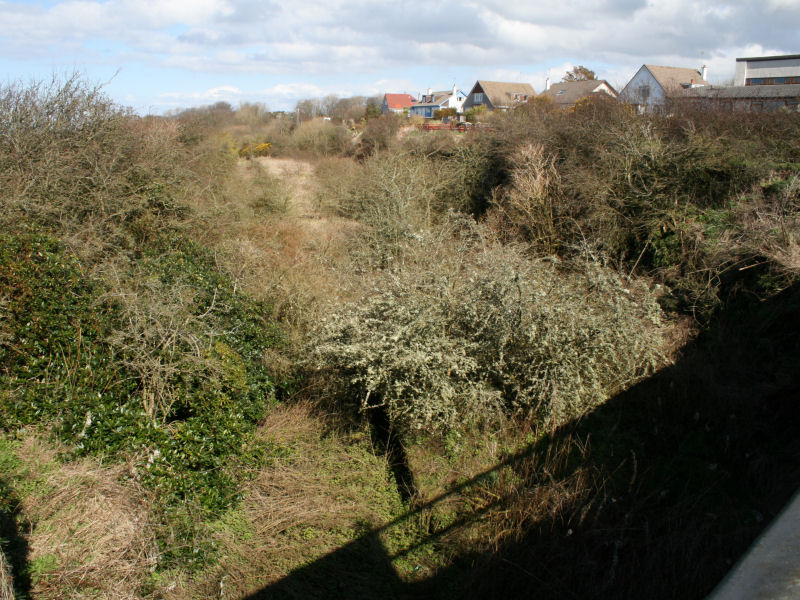
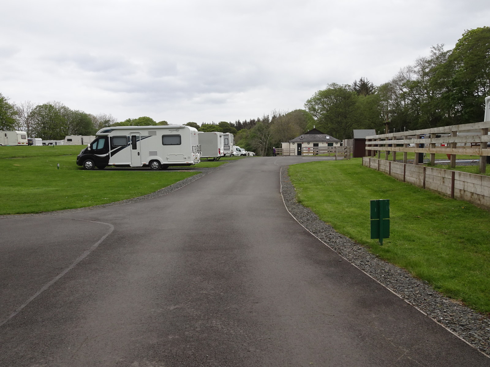
Port Shuchan Images
Images are sourced within 2km of 55.398236/-4.7697431 or Grid Reference NS2415. Thanks to Geograph Open Source API. All images are credited.


Port Shuchan is located at Grid Ref: NS2415 (Lat: 55.398236, Lng: -4.7697431)
Unitary Authority: South Ayrshire
Police Authority: Ayrshire
What 3 Words
///buggy.guises.format. Near Maybole, South Ayrshire
Nearby Locations
Related Wikis
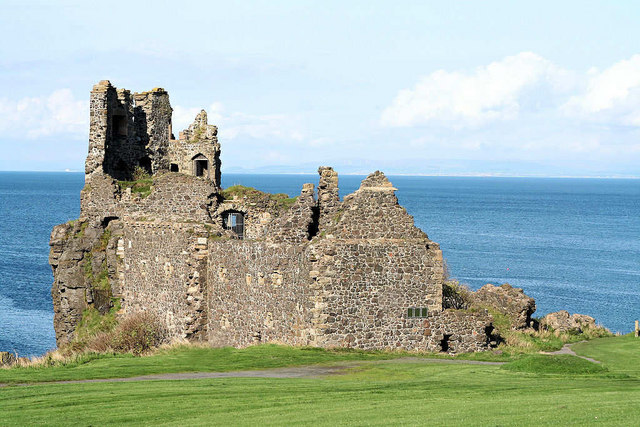
Dunure Castle
Dunure Castle is located on the west coast of Scotland, in South Ayrshire, about five miles (eight kilometres) south of Ayr and close to the village of...
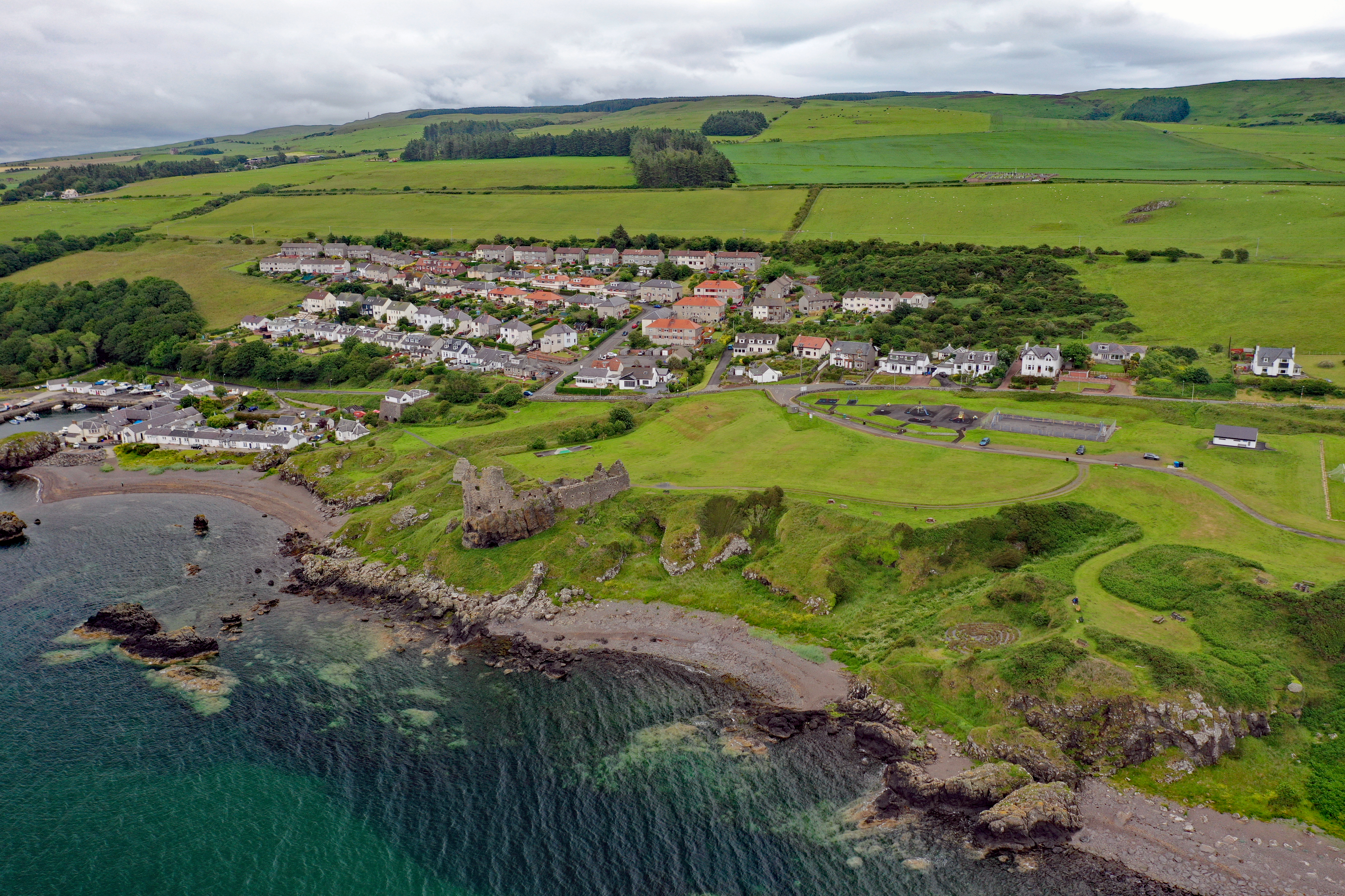
Dunure
Dunure (Scottish Gaelic: Dùn Iùbhair, meaning Yew Hill) is a small village in the South Ayrshire area of Scotland about five miles (eight kilometres) from...
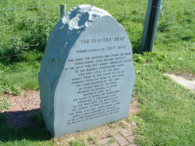
Electric Brae
The Electric Brae is a gravity hill in South Ayrshire, Scotland, where a freewheeling vehicle will appear to be drawn uphill by some mysterious attraction...
Dunure railway station
Dunure railway station was a railway station serving the village of Dunure, South Ayrshire, Scotland. The station was part of the Maidens and Dunure Light...

Knoweside railway station
Knoweside railway station was a railway station serving the village of Knoweside, South Ayrshire, Scotland. The station was part of the Maidens and Dunure...
Balchriston Level Crossing Halt railway station
Balchriston Level Crossing Halt was a railway halt near Culzean Castle, South Ayrshire, Scotland. The halt was part of the Maidens and Dunure Light Railway...
Heads of Ayr railway station
Heads of Ayr railway station was a railway station serving the Heads of Ayr, South Ayrshire, Scotland. The station was part of the Maidens and Dunure Light...
Glenside railway station
Glenside railway station was a railway station near Culzean Castle, South Ayrshire, Scotland. The station was part of the Maidens and Dunure Light Railway...
Nearby Amenities
Located within 500m of 55.398236,-4.7697431Have you been to Port Shuchan?
Leave your review of Port Shuchan below (or comments, questions and feedback).