Broad Craig
Island in Ayrshire
Scotland
Broad Craig

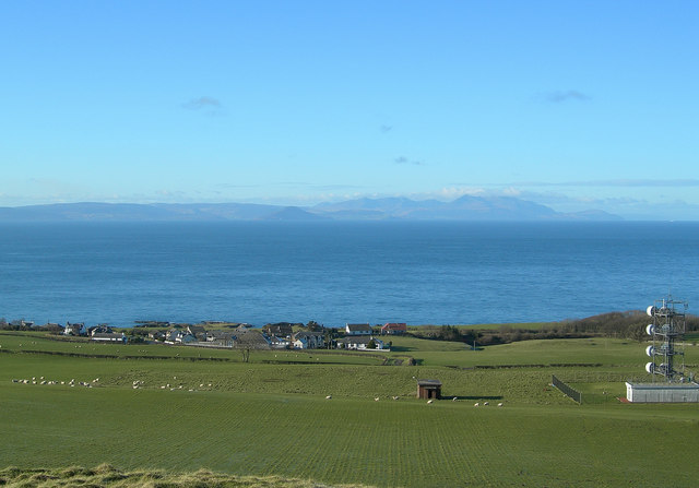
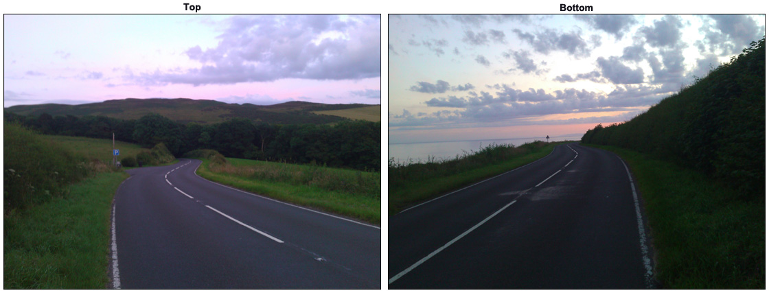
Broad Craig is a small uninhabited island located off the southwestern coast of Scotland, in the region of Ayrshire. Situated in the Firth of Clyde, it is part of the Ailsa Craig archipelago. With an area of around 1.6 hectares, Broad Craig is characterized by its rugged and rocky terrain, with cliffs rising up to 40 meters above sea level.
The island is home to a diverse range of bird species, including the black-legged kittiwake, herring gull, and cormorant. These birds use the cliffs as nesting sites during the breeding season, creating a vibrant and lively atmosphere on the island. Additionally, seals can often be spotted swimming in the waters surrounding Broad Craig.
Access to Broad Craig is limited due to its remote location and lack of amenities. However, the island can be visited by boat, making it a popular destination for birdwatchers and nature enthusiasts. The breathtaking views of the surrounding sea and coastline make it a picturesque spot for photography and relaxation.
Broad Craig also has historical significance, as it was once used as a quarry for its granite. The stone from the island was renowned for its quality and was used in the construction of various buildings, including the Ailsa Craig Lighthouse.
Overall, Broad Craig offers a unique and tranquil experience for those seeking to explore the beauty of Scotland's coastal landscapes and observe its rich wildlife.
If you have any feedback on the listing, please let us know in the comments section below.
Broad Craig Images
Images are sourced within 2km of 55.403875/-4.7668202 or Grid Reference NS2415. Thanks to Geograph Open Source API. All images are credited.


Broad Craig is located at Grid Ref: NS2415 (Lat: 55.403875, Lng: -4.7668202)
Unitary Authority: South Ayrshire
Police Authority: Ayrshire
What 3 Words
///adventure.dignity.distanced. Near Maybole, South Ayrshire
Nearby Locations
Related Wikis
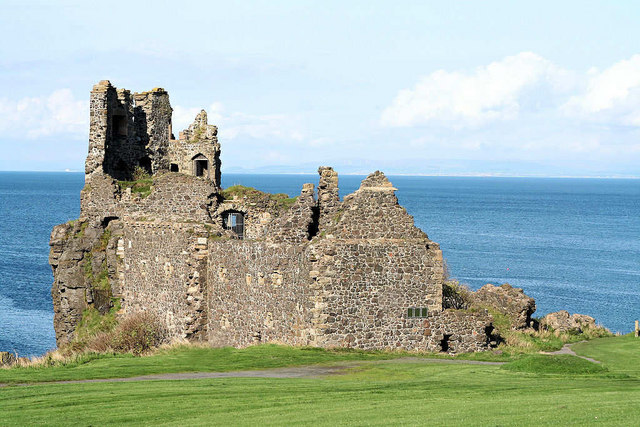
Dunure Castle
Dunure Castle is located on the west coast of Scotland, in South Ayrshire, about five miles (eight kilometres) south of Ayr and close to the village of...
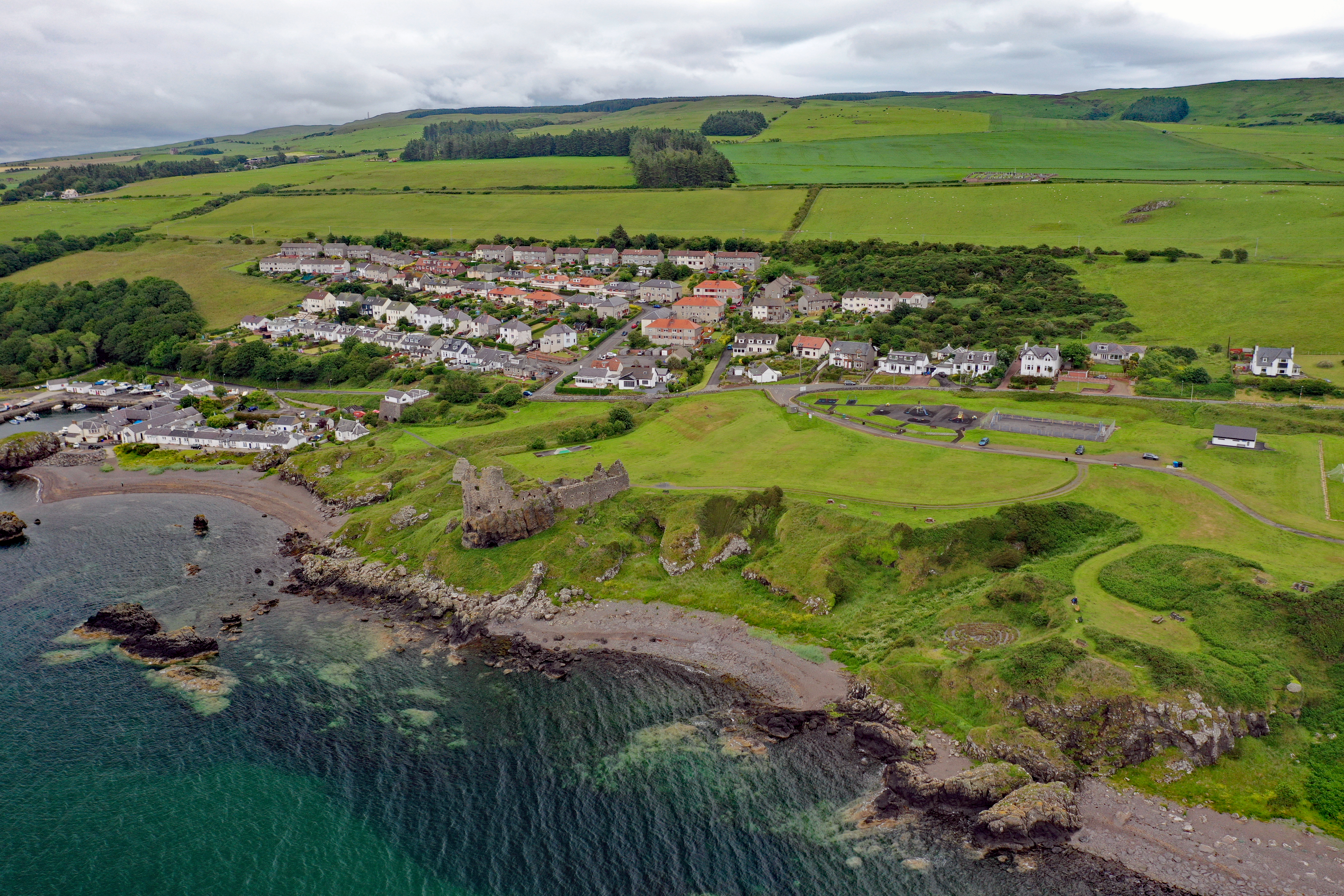
Dunure
Dunure (Scottish Gaelic: Dùn Iùbhair, meaning Yew Hill) is a small village in the South Ayrshire area of Scotland about five miles (eight kilometres) from...
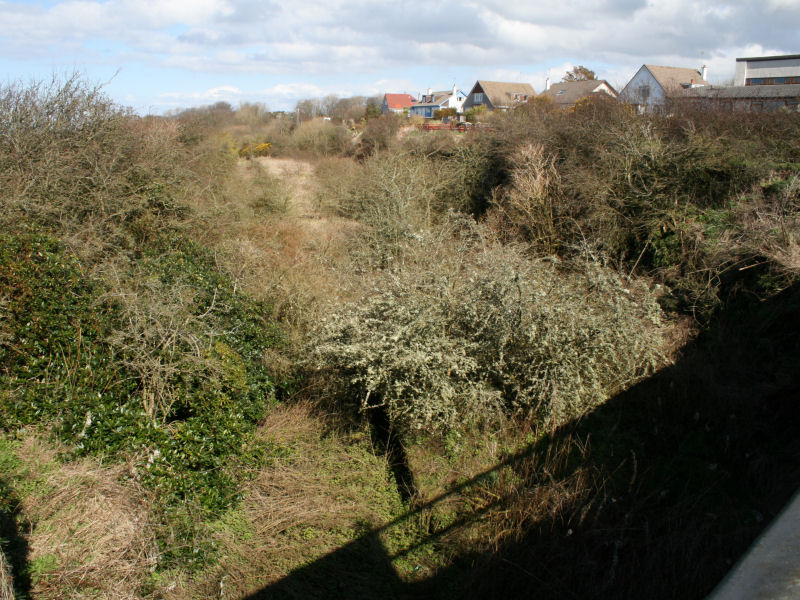
Dunure railway station
Dunure railway station was a railway station serving the village of Dunure, South Ayrshire, Scotland. The station was part of the Maidens and Dunure Light...
Electric Brae
The Electric Brae is a gravity hill in South Ayrshire, Scotland, where a freewheeling vehicle will appear to be drawn uphill by some mysterious attraction...

Knoweside railway station
Knoweside railway station was a railway station serving the village of Knoweside, South Ayrshire, Scotland. The station was part of the Maidens and Dunure...
Heads of Ayr railway station
Heads of Ayr railway station was a railway station serving the Heads of Ayr, South Ayrshire, Scotland. The station was part of the Maidens and Dunure Light...
Balchriston Level Crossing Halt railway station
Balchriston Level Crossing Halt was a railway halt near Culzean Castle, South Ayrshire, Scotland. The halt was part of the Maidens and Dunure Light Railway...
Glenside railway station
Glenside railway station was a railway station near Culzean Castle, South Ayrshire, Scotland. The station was part of the Maidens and Dunure Light Railway...
Nearby Amenities
Located within 500m of 55.403875,-4.7668202Have you been to Broad Craig?
Leave your review of Broad Craig below (or comments, questions and feedback).