Quarter Wall Bay
Sea, Estuary, Creek in Devon
England
Quarter Wall Bay
Quarter Wall Bay is a picturesque coastal feature located in Devon, England. Nestled along the South West Coast Path, this bay offers stunning views of the sea, estuary, and creek, making it a popular destination for nature enthusiasts and outdoor adventurers.
Situated near the village of Newton Ferrers, Quarter Wall Bay is accessible via a steep footpath that leads down to the shoreline. The bay is characterized by its rocky cliffs, sandy beaches, and crystal-clear waters. During low tide, a wide expanse of sand is revealed, providing ample space for beachcombing, sunbathing, and picnicking.
The bay's unique geographical position at the confluence of a river estuary and a creek creates a diverse ecosystem, attracting a wide variety of wildlife. Visitors can expect to spot wading birds, such as herons and oystercatchers, as well as seals and dolphins frolicking in the water.
For those seeking adventure, Quarter Wall Bay also offers excellent opportunities for water sports, including kayaking, paddleboarding, and sailing. The sheltered nature of the bay makes it an ideal location for beginners and experienced enthusiasts alike.
The surrounding area of Quarter Wall Bay boasts stunning coastal walks, with breathtaking views of the rugged cliffs and the sparkling sea. The bay is also conveniently located near several quaint villages and charming pubs, providing visitors with an opportunity to immerse themselves in the local culture and enjoy delicious seafood dishes.
Overall, Quarter Wall Bay is a hidden gem on the Devon coastline, offering a perfect blend of natural beauty, outdoor activities, and tranquility for visitors to enjoy.
If you have any feedback on the listing, please let us know in the comments section below.
Quarter Wall Bay Images
Images are sourced within 2km of 51.173331/-4.6619237 or Grid Reference SS1444. Thanks to Geograph Open Source API. All images are credited.


Quarter Wall Bay is located at Grid Ref: SS1444 (Lat: 51.173331, Lng: -4.6619237)
Administrative County: Devon
Police Authority: Devon and Cornwall
What 3 Words
///estimate.towel.sedated. Near Northam, Devon
Nearby Locations
Related Wikis
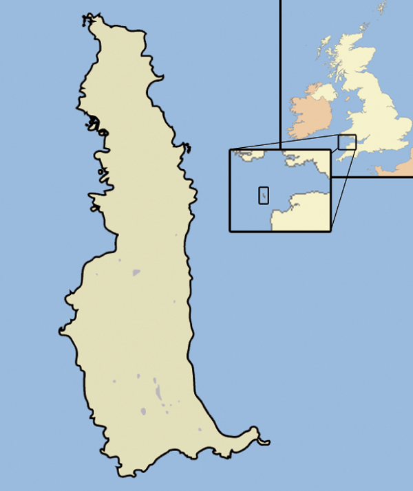
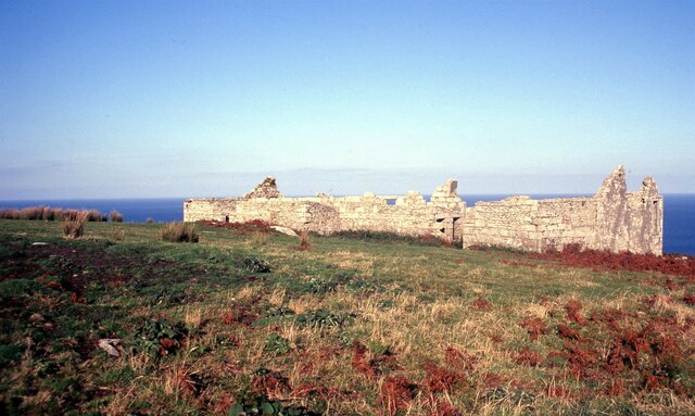
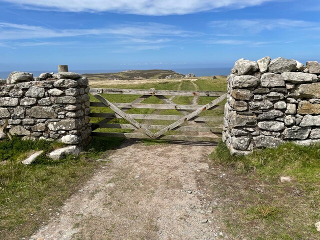
Lundy
Lundy is an English island in the Bristol Channel. It forms part of the district of Torridge in the county of Devon. About 3 miles (5 kilometres) long...
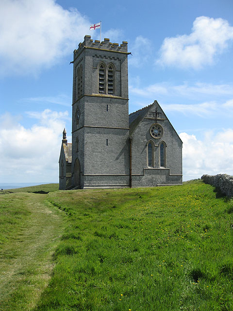
St Helen's Church, Lundy
Saint Helen's Church, also often incorrectly known as Saint Helena's Church, is an Anglican church on the 445 ha (1,100 acres) island of Lundy, lying at...

Jenny (1783 ship)
Jenny was built at Newfoundland in 1783. She sailed to Britain and traded between Britain and Newfoundland and then between Bristol and Africa until 1790...
Nearby Amenities
Located within 500m of 51.173331,-4.6619237Have you been to Quarter Wall Bay?
Leave your review of Quarter Wall Bay below (or comments, questions and feedback).