Norway Hole
Sea, Estuary, Creek in Wigtownshire
Scotland
Norway Hole
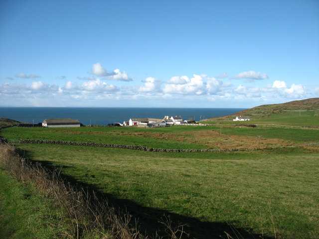
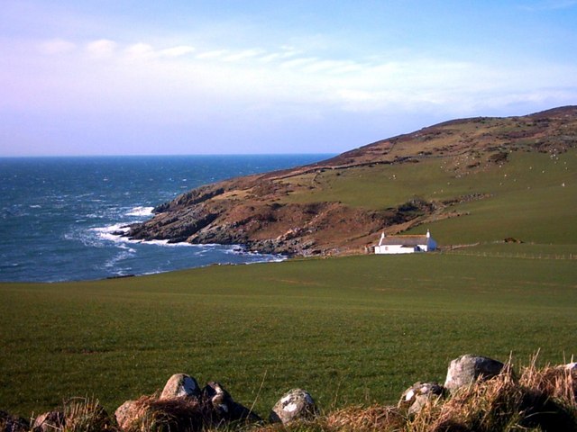
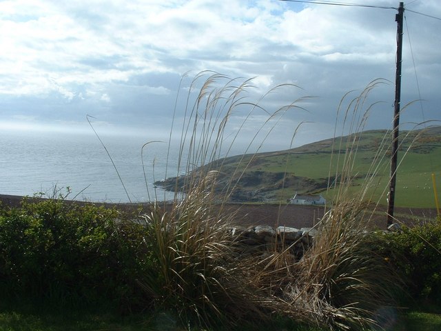
Norway Hole is a fascinating geographical feature located in Wigtownshire, Scotland. Situated along the coast, this natural wonder is a combination of a sea, estuary, and creek, providing an array of unique ecosystems and scenic beauty.
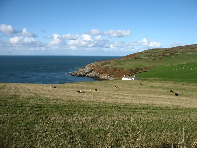
The Norway Hole gets its name from the influx of cold-water currents from the Norwegian Sea, which mix with the warmer waters of the Atlantic Ocean. This convergence creates a diverse marine environment that supports a plethora of marine life. The area is a haven for various species of fish, crustaceans, and marine birds, making it a popular spot for fishing and birdwatching enthusiasts.
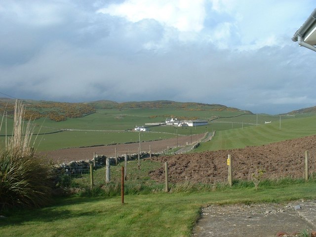
The estuary portion of the Norway Hole is formed where the Cree and Bladnoch rivers meet the sea. This estuarine habitat is a vital breeding ground for many species of fish, including salmon and sea trout. It also serves as a feeding and resting area for migratory birds during their annual journeys.
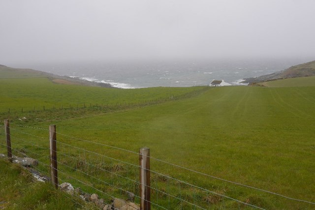
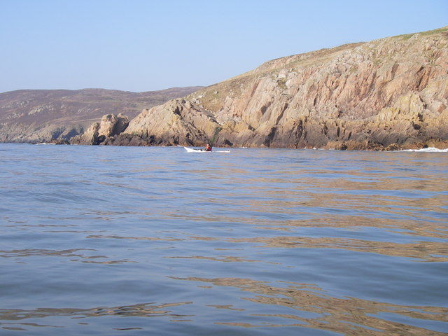
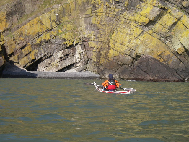
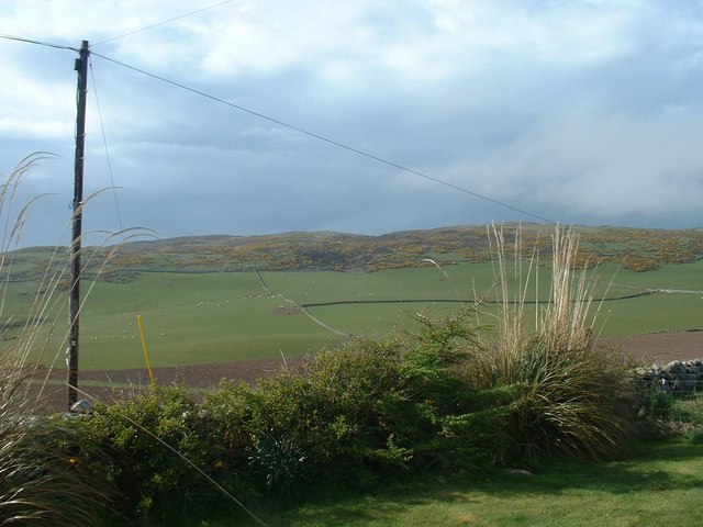
The creek aspect of the Norway Hole is formed by the meandering path of the Cree River as it flows through the surrounding countryside. This winding watercourse provides a serene and picturesque setting, attracting visitors who enjoy kayaking, canoeing, and wildlife spotting.
Overall, the Norway Hole in Wigtownshire is a captivating and diverse natural landscape. Its unique combination of sea, estuary, and creek provides a rich and thriving ecosystem that supports a wide range of flora and fauna. Whether you are interested in fishing, birdwatching, or simply immersing yourself in the tranquility of nature, the Norway Hole is a must-visit destination.
If you have any feedback on the listing, please let us know in the comments section below.
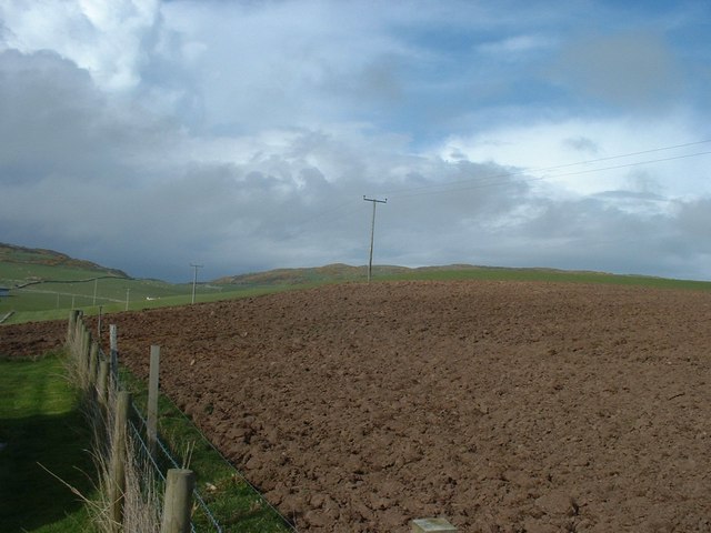
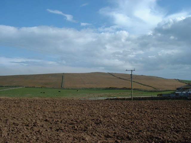
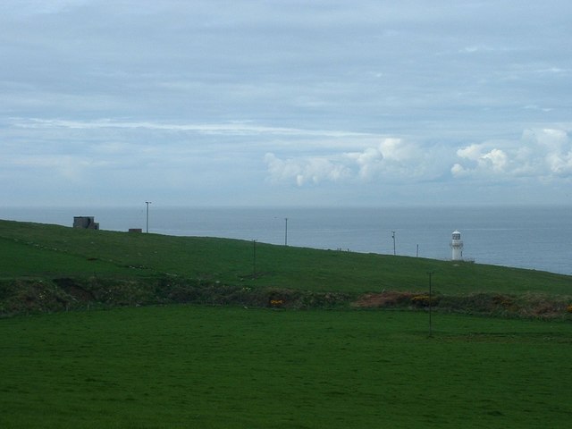
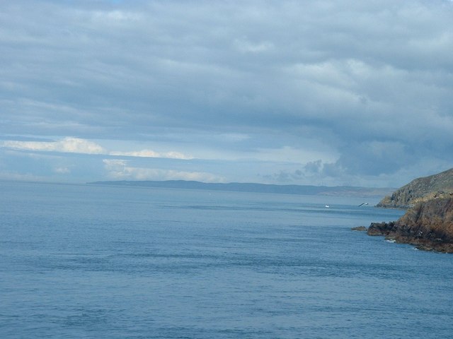
Norway Hole Images
Images are sourced within 2km of 54.669033/-4.9649655 or Grid Reference NX0834. Thanks to Geograph Open Source API. All images are credited.


Norway Hole is located at Grid Ref: NX0834 (Lat: 54.669033, Lng: -4.9649655)
Unitary Authority: Dumfries and Galloway
Police Authority: Dumfries and Galloway
What 3 Words
///mango.cutlets.loafing. Near Drummore, Dumfries & Galloway
Nearby Locations
Related Wikis

Kirkmaiden (village)
Kirkmaiden (sometimes Maidenkirk; Scottish Gaelic: Cill M'Eudan) is a small settlement in Galloway, Scotland, located approximately 17 miles (27 km) south...
Kirkmaiden
Kirkmaiden is a parish in the Rhins of Galloway, the most southerly in Scotland; the present Church of Scotland parish has the same name as and is approximately...
Cairngaan
Cairngaan, Wigtownshire, is the southmost settlement in Scotland. The hamlet of Cairngaan lies just north of the Mull of Galloway (which contains Scotland...
Drummore
Drummore (drum-ORE; (from Gaelic An Druim Mòr meaning "the great ridge") is the southernmost village in Scotland, located at the southern end of the Rhins...

Port Logan
Port Logan, formerly Port Nessock, is a small village in the parish of Kirkmaiden in the Rhins of Galloway in Wigtownshire. The Gaelic name is Port Neasaig...

Mull of Galloway
The Mull of Galloway (Scottish Gaelic: Maol nan Gall, pronounced [mɯːlˠ̪ nəŋ ˈkaulˠ̪]; grid reference NX158303) is the southernmost point of Scotland....

Logan Botanic Garden
Logan Botanic Garden is a botanical garden near Port Logan on the Rhins of Galloway, at the south-western tip of Scotland. The Botanic Garden was established...
Nearby Amenities
Located within 500m of 54.669033,-4.9649655Have you been to Norway Hole?
Leave your review of Norway Hole below (or comments, questions and feedback).