Pwll Cornel
Sea, Estuary, Creek in Pembrokeshire
Wales
Pwll Cornel
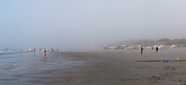
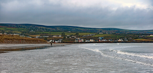
Pwll Cornel is a picturesque location situated in Pembrokeshire, Wales. It is known for its stunning sea views, estuary, and creek, making it a popular destination for nature lovers and outdoor enthusiasts.
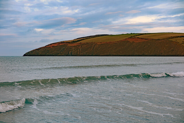
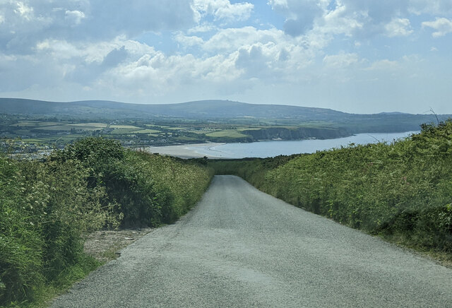
The area is characterized by its rugged coastline, with dramatic cliffs and rocky outcrops. The sea at Pwll Cornel is a vibrant turquoise color, creating a striking contrast against the dark cliffs. This makes it an idyllic spot for photographers and artists seeking inspiration from the natural beauty of the landscape.
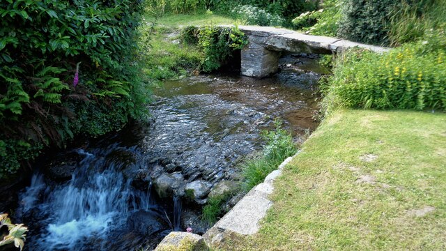
The estuary at Pwll Cornel is formed by the convergence of several small rivers, creating a unique ecosystem that is home to a variety of flora and fauna. The estuary is a haven for birdwatchers, as it attracts a wide range of bird species, including herons, oystercatchers, and curlews. Visitors can observe these beautiful creatures in their natural habitat while strolling along the estuary's banks.
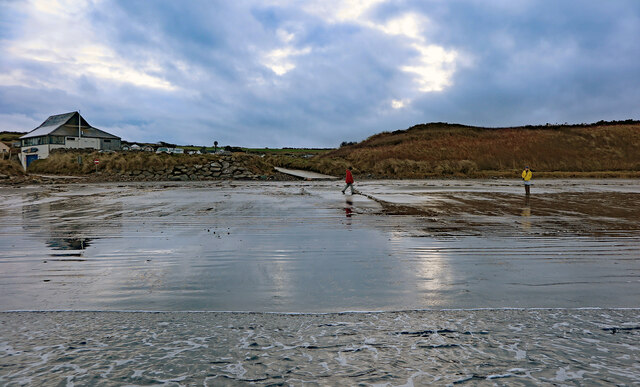
For those looking to explore further, there is a small creek at Pwll Cornel that offers opportunities for kayaking and canoeing. The calm waters of the creek provide a peaceful setting for water-based activities, allowing visitors to immerse themselves in the tranquility of their surroundings.
Overall, Pwll Cornel in Pembrokeshire offers a unique blend of natural beauty, diverse wildlife, and recreational opportunities. Whether you are seeking a peaceful escape or an adventure-filled day out, this coastal gem has something to offer for everyone.
If you have any feedback on the listing, please let us know in the comments section below.
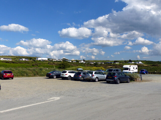
Pwll Cornel Images
Images are sourced within 2km of 52.018994/-4.8171935 or Grid Reference SN0639. Thanks to Geograph Open Source API. All images are credited.


Pwll Cornel is located at Grid Ref: SN0639 (Lat: 52.018994, Lng: -4.8171935)
Unitary Authority: Pembrokeshire
Police Authority: Dyfed Powys
What 3 Words
///seasons.uses.footpath. Near Newport, Pembrokeshire
Nearby Locations
Related Wikis

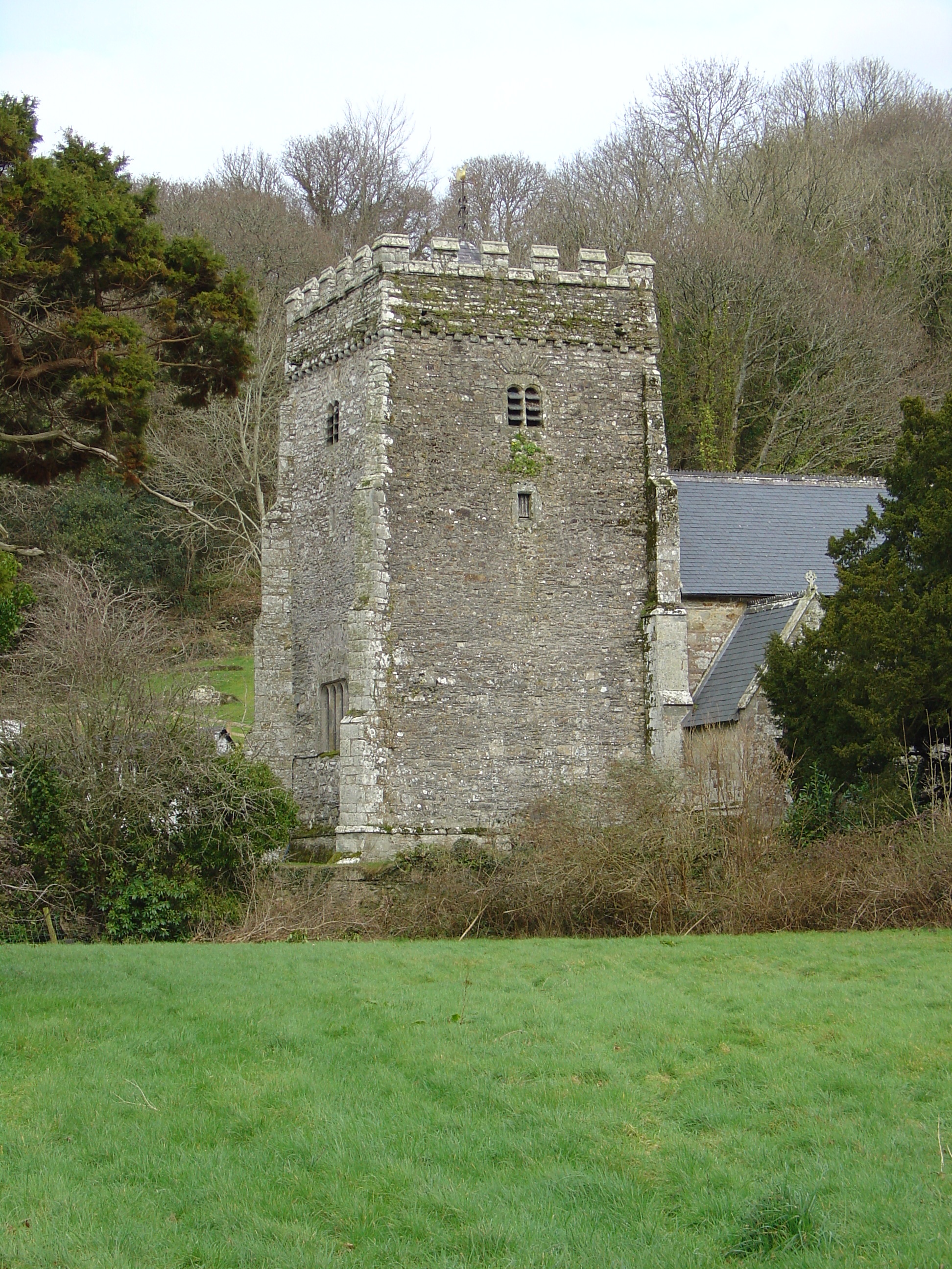
Felin Llwyngwair
Felin Llwyngwair is a Site of Special Scientific Interest (or SSSI) near Newport in Pembrokeshire, South Wales. It was designated a SSSI (ID2580, code...

Carreg Coetan Arthur
Carreg Coetan Arthur is a neolithic dolmen near Newport in North Pembrokeshire, Wales.Carreg Coetan Arthur dates from around 3000 BC and is the remains...

Cnapan Hotel
Cnapan, also known variously as Cnapan Country House or Cnapan Restaurant and Bed & Breakfast, is a Grade II listed hotel and restaurant in Newport, Pembrokeshire...
Nevern
Nevern (Welsh: Nanhyfer) is both a parish and a community in Pembrokeshire, Wales. The community includes the settlements of Felindre Farchog, Monington...

Newport, Pembrokeshire
Newport (Welsh: Trefdraeth, meaning: "town by the beach") is a town, community, electoral ward and ancient port of Parrog, on the Pembrokeshire coast in...

Nevern Bridge
Nevern Bridge (Welsh: Pont Nanhyfer) spans the River Nevern (Welsh: Afon Nyfer) in the centre of Nevern, Pembrokeshire, Wales. This Grade II listed bridge...
River Nevern
The River Nevern (Welsh: Afon Nyfer) is a river in Pembrokeshire, Wales. Its source is north of the village of Crymych and its length is about 11 miles...
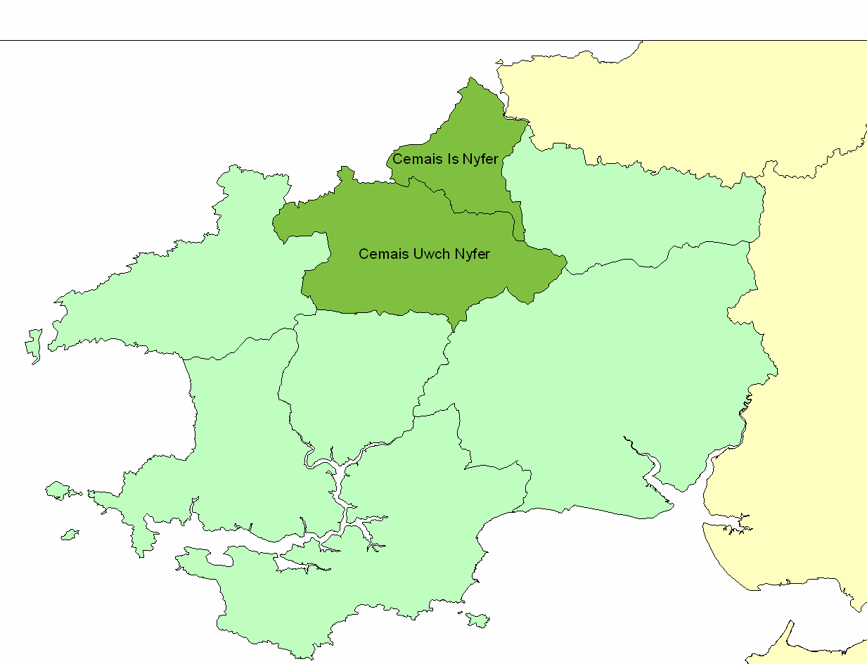
Cemais Is Nyfer
Cemais Is Nyfer was a mediaeval commote in the Dyfed cantref of Cemais, Wales. It consisted of the territory between the rivers Nyfer and Teifi, and comprised...
Nearby Amenities
Located within 500m of 52.018994,-4.8171935Have you been to Pwll Cornel?
Leave your review of Pwll Cornel below (or comments, questions and feedback).