Dunder Hole
Sea, Estuary, Creek in Cornwall
England
Dunder Hole

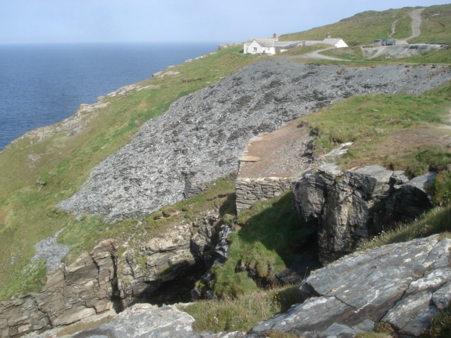
Dunder Hole is a picturesque coastal area located in Cornwall, England. Situated along the southwestern coast of the county, it is renowned for its stunning sea views, estuary, and creek.
The area is characterized by its rugged cliffs, golden sandy beaches, and crystal-clear waters. Dunder Hole offers visitors a unique blend of natural beauty and tranquility, making it a popular destination for nature lovers and outdoor enthusiasts.
The sea at Dunder Hole is a sight to behold, with its deep blue hues and crashing waves creating a mesmerizing spectacle. The estuary, formed by the convergence of the sea and a river, provides a peaceful and sheltered environment for a variety of wildlife. Birdwatchers can often spot a range of coastal birds, including gulls, cormorants, and herons, feeding and nesting along the estuary's banks.
The creek at Dunder Hole is a narrow waterway that meanders through the landscape, cutting its way through the cliffs and forming small pools and lagoons along its course. These pools are teeming with marine life, such as crabs, shrimps, and small fish, making it a fascinating spot for exploring and observing aquatic creatures.
Visitors to Dunder Hole can enjoy a range of activities, including swimming, sunbathing, and picnicking on the sandy beaches. The area is also popular with hikers, who can follow the scenic coastal paths and enjoy breathtaking views of the sea and surrounding cliffs.
In summary, Dunder Hole in Cornwall is a captivating coastal area that offers a blend of natural beauty, diverse wildlife, and outdoor activities, making it a must-visit destination for those seeking a peaceful and scenic retreat.
If you have any feedback on the listing, please let us know in the comments section below.
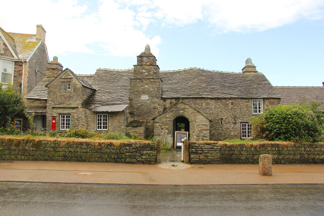
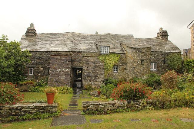
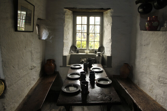
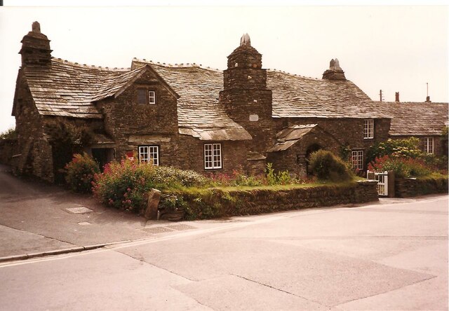
Dunder Hole Images
Images are sourced within 2km of 50.659969/-4.7657757 or Grid Reference SX0488. Thanks to Geograph Open Source API. All images are credited.


Dunder Hole is located at Grid Ref: SX0488 (Lat: 50.659969, Lng: -4.7657757)
Unitary Authority: Cornwall
Police Authority: Devon and Cornwall
What 3 Words
///overpower.fuzzy.passions. Near Tintagel, Cornwall
Nearby Locations
Related Wikis

Long Grass Quarry
Long Grass Quarry (also known as Cliff Quarry) is a small, disused slate quarry between Tintagel and Trebarwith on the north coast of Cornwall, South West...
Lambshouse and Gull Point Quarry
Lambshouse and Gull Point Quarries are two disused slate quarries between Tintagel and Trebarwith at Lambshouse Cove on the north coast of Cornwall, South...
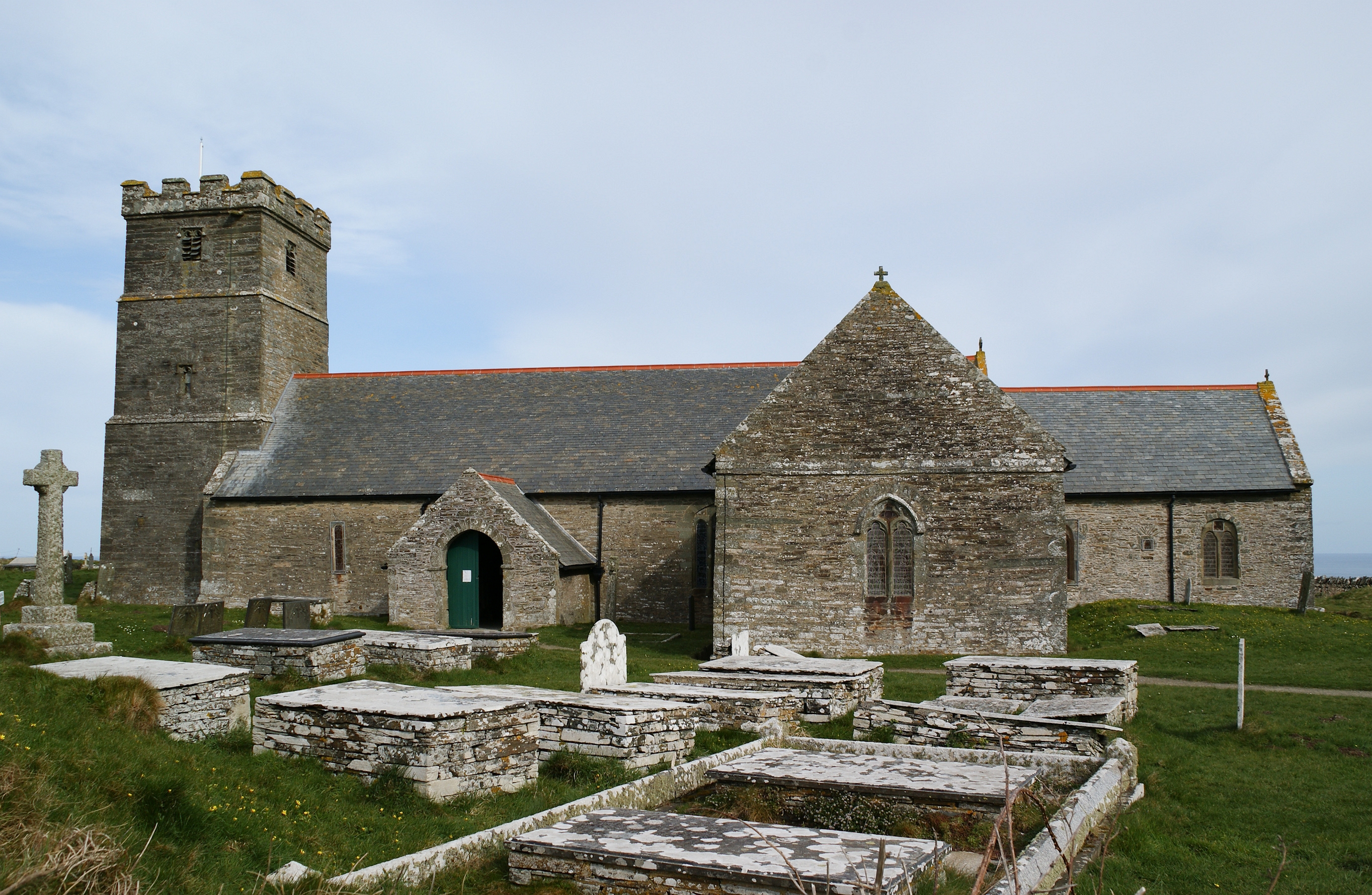
St Materiana's Church, Tintagel
The Parish Church of Saint Materiana at Tintagel is a Church of England parish church in the Church of England Diocese of Truro in Cornwall, England, UK...
Gillow Slate Quarry
Gillow State Quarry is a small, disused slate quarry between Tintagel and Trebarwith on the north coast of Cornwall, South West England. The quarry was...
Nearby Amenities
Located within 500m of 50.659969,-4.7657757Have you been to Dunder Hole?
Leave your review of Dunder Hole below (or comments, questions and feedback).