An Eoghail

Sea, Estuary, Creek in Ross-shire

Scotland

An Eoghail

Boardwalk to the beach at Mellon Udrigle What a splendid name - Mellon Udrigle!  According to Google, the name means 'little hill of Udrigle'.
Boardwalk to the beach at Mellon Udrigle Credit: Gordon Brown

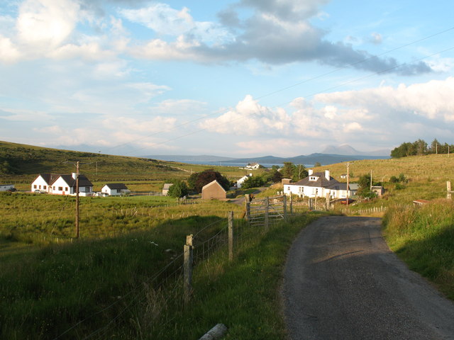
An Eoghail, located in Ross-shire, Scotland, is a picturesque coastal area that encompasses a sea, estuary, and creek. Nestled along the western coast of the Highlands, this natural beauty spot is a haven for nature enthusiasts and those seeking tranquility.

The sea surrounding An Eoghail offers breathtaking views and is known for its vibrant blue waters. It provides a range of recreational activities such as fishing, swimming, and boating. The area is rich in marine life, including various species of fish, seals, and seabirds, making it a popular spot for wildlife enthusiasts and birdwatchers.

The estuary, formed where a river meets the sea, is a unique feature of An Eoghail. It provides a diverse habitat for a wide variety of plants and animals, including wading birds, otters, and numerous species of fish. The estuary is also an important stopping point for migratory birds, which adds to the area's ecological significance.

Connected to the estuary, the creek at An Eoghail is a narrow waterway that winds its way through the surrounding landscape. It is a tranquil and peaceful spot, ideal for leisurely walks and enjoying the surrounding natural beauty. The creek is also home to a range of plant and animal species, including waterfowl and small fish.

Overall, An Eoghail in Ross-shire is a stunning coastal area that offers a diverse range of landscapes, from the open sea to the estuary and creek. With its abundant wildlife, beautiful views, and opportunities for outdoor activities, it is a must-visit destination for nature lovers and those seeking a peaceful retreat along Scotland's western coast.

If you have any feedback on the listing, please let us know in the comments section below.
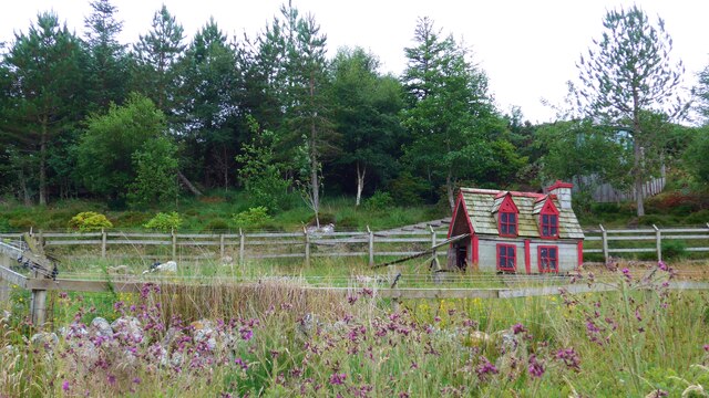
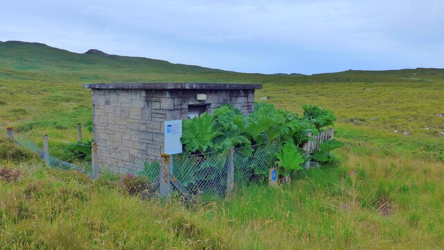
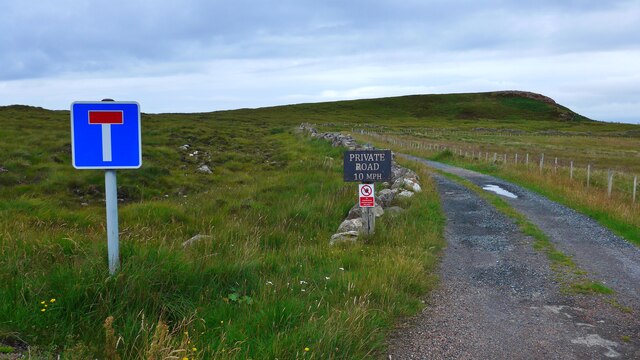
An Eoghail Images

Images are sourced within 2km of 57.914071/-5.5729476 or Grid Reference NG8897. Thanks to Geograph Open Source API. All images are credited.

Boardwalk to the beach at Mellon Udrigle What a splendid name - Mellon Udrigle!  According to Google, the name means 'little hill of Udrigle'.
Boardwalk to the beach at Mellon Udrigle
What a splendid name - Mellon Udrigle! According to Google, the name means 'little hill of Udrigle'.
The beach at Mellon Udrigle What a splendid name - Mellon Udrigle! According to Google, the name means 'little hill of Udrigle'.
The beach at Mellon Udrigle
What a splendid name - Mellon Udrigle! According to Google, the name means 'little hill of Udrigle'.
The road to Opinan Confusingly, there is another Opinan in this part of NW Scotland.  It is on the road to Red Point.
The road to Opinan
Confusingly, there is another Opinan in this part of NW Scotland. It is on the road to Red Point.
On the left, Mallie's Cottage, on the road to Opinan
Duck (or hen?) house by the road to Opinan
Distant view of Opinan House
Small covered reservoir at Opinan The sign still reads 'North of Scotland Water Authority' although in 2002 Scottish Water was founded by a merger of West of Scotland Water Authority, East of Scotland Water Authority and North of Scotland Water Authority under the Water Industry (Scotland) Act 2002, an Act of the Scottish Parliament.
Small covered reservoir at Opinan
The sign still reads 'North of Scotland Water Authority' although in 2002 Scottish Water was founded by a merger of West of Scotland Water Authority, East of Scotland Water Authority and North of Scotland Water Authority under the Water Industry (Scotland) Act 2002, an Act of the Scottish Parliament.
The end of the public road at Opinan
House at Camas Rainich, Opinan
An Eoghail Where the Allt Loch a' Choire meets the sea.
An Eoghail
Where the Allt Loch a' Choire meets the sea.
End of the road,  Mellon Udrigle
End of the road, Mellon Udrigle
Signs at Mellon Udrigle road end One discourages parking in the area reserved for turning, the other indicates a circular walking route which heads up the coast from here.
Signs at Mellon Udrigle road end
One discourages parking in the area reserved for turning, the other indicates a circular walking route which heads up the coast from here.
Distinctive rock, Mellon Udrigle
Simple pleasures; enjoying the shore at Opinan
Crofthouses old and new at Opinan
Mellon  Udrigle  calm  sea  and  empty  sand On very rocky shorelines these beaches are little gems
Mellon Udrigle calm sea and empty sand
On very rocky shorelines these beaches are little gems
Seaward  view  from  rocks  Mellon  Udrigle  beach
Seaward view from rocks Mellon Udrigle beach
Rocks  above  and  below  the  water  Mellon  Udrigle  beach These rocks are at the southern end of the beach, which can be seen sweeping round from the left
Rocks above and below the water Mellon Udrigle beach
These rocks are at the southern end of the beach, which can be seen sweeping round from the left
Show me another place!

An Eoghail is located at Grid Ref: NG8897 (Lat: 57.914071, Lng: -5.5729476)

Unitary Authority: Highland

Police Authority: Highlands and Islands

What 3 Words

///movie.eliminate.fresh. Near Gairloch, Highland

Related Wikis

Opinan, Laide, Highland

Opinan is a remote scattered crofting hamlet, in Achnasheen, Ross-shire, Scottish Highlands and is in the Scottish council area of Highland. The village...

Mellon Udrigle

Mellon Udrigle (Scottish Gaelic: Meallan Ùdraigil or Na Meall) is a small remote coastal tourist, fishing and crofting hamlet on the north west coast of...

Rubha Mòr

Rubha Mòr is a remote peninsula in west Scotland, in the western region of Ross and Cromarty. The peninsula stretches from Greenstone Point in the north...

Achgarve

Achgarve (Scottish Gaelic: An t-Achadh Garbh - the rough field) is a small coastal crofting and fishing hamlet, situated between Gruinard Bay and Loch...

Nearby Amenities

Located within 500m of 57.914071,-5.5729476
Source: PGS
Lat/Long: 57.917327/-5.5674719
Source: PGS
Lat/Long: 57.917134/-5.5678429
Source: PGS
Lat/Long: 57.9171391/-5.5682385
Source: PGS
Lat/Long: 57.9170505/-5.5685927
Source: PGS
Lat/Long: 57.9163677/-5.5693252
Source: PGS
Lat/Long: 57.9164003/-5.5697225
Source: PGS
Lat/Long: 57.9159511/-5.5704216
Source: PGS
Lat/Long: 57.9157219/-5.5709227
Source: PGS
Lat/Long: 57.9154101/-5.5716111
Source: PGS
Lat/Long: 57.9155198/-5.5703737
Source: PGS
Lat/Long: 57.9148915/-5.5714959
Source: PGS
Lat/Long: 57.9144484/-5.5719063
Source: PGS
Lat/Long: 57.9139392/-5.5721833
Created By: almien_coastlines
Source: PGS
Lat/Long: 57.913965/-5.573446
Source: PGS
Lat/Long: 57.9140713/-5.5741766
Source: PGS
Lat/Long: 57.9147294/-5.5746854
Source: PGS
Lat/Long: 57.9155143/-5.5738489
Source: PGS
Lat/Long: 57.9154939/-5.5746953
Source: PGS
Lat/Long: 57.9148983/-5.5755709
Source: PGS
Lat/Long: 57.9144895/-5.5761809
Created By: almien_coastlines
Source: PGS
Lat/Long: 57.91429/-5.576356
Created By: almien_coastlines
Source: PGS
Lat/Long: 57.914024/-5.576819
Created By: almien_coastlines
Source: PGS
Lat/Long: 57.913759/-5.577281
Source: PGS
Lat/Long: 57.9140219/-5.5771537
Created By: almien_coastlines
Source: PGS
Lat/Long: 57.913739/-5.578242
Source: PGS
Lat/Long: 57.913244/-5.5787426
Source: PGS
Lat/Long: 57.9130559/-5.5790591
Source: PGS
Lat/Long: 57.9130205/-5.5796921
Source: PGS
Lat/Long: 57.9132545/-5.5804324
Source: PGS
Lat/Long: 57.9139646/-5.5803439
Source: PGS
Lat/Long: 57.9146365/-5.580469
Source: PGS
Lat/Long: 57.9147023/-5.5798477
Source: PGS
Lat/Long: 57.9149413/-5.5792539
Source: PGS
Lat/Long: 57.9156794/-5.57934
Source: PGS
Lat/Long: 57.9157515/-5.5799105
Source: PGS
Lat/Long: 57.915597/-5.5805071
Power: pole
Lat/Long: 57.9124592/-5.5785059
Power: pole
Lat/Long: 57.9122865/-5.5794676
Power: pole
Lat/Long: 57.9121293/-5.5803573
The data included in this document is from www.openstreetmap.org. The data is made available under ODbL.

Have you been to An Eoghail?

Leave your review of An Eoghail below (or comments, questions and feedback).