Ob nan Ròn

Bay in Ross-shire

Scotland

Ob nan Ròn

Boardwalk to the beach at Mellon Udrigle What a splendid name - Mellon Udrigle!  According to Google, the name means 'little hill of Udrigle'.
Boardwalk to the beach at Mellon Udrigle Credit: Gordon Brown

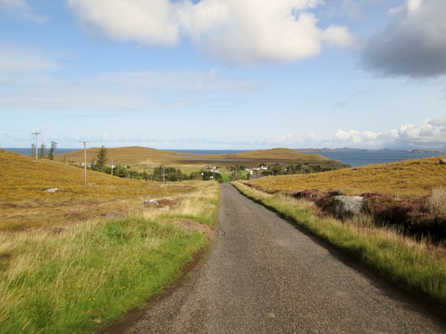
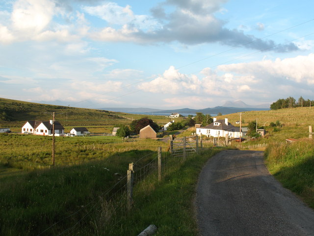
Ob nan Ròn, also known as Bay of Seals, is a picturesque bay located in Ross-shire, Scotland. It is situated on the west coast of Scotland, near the village of Gairloch, and is known for its stunning natural beauty and abundant wildlife.

The bay is surrounded by rugged and dramatic cliffs, offering visitors breathtaking views of the rugged coastline and the vast expanse of the North Atlantic Ocean. The area is characterized by its sandy beaches, clear turquoise waters, and rocky outcrops, making it a popular destination for beachgoers, nature enthusiasts, and photographers.

Ob nan Ròn is named after the seals that inhabit the bay. Visitors often have the opportunity to observe these playful marine mammals swimming and basking in the sun on the rocks or bobbing in the water.

The bay is also a haven for a wide variety of bird species, including gannets, puffins, and cormorants. Birdwatchers can witness these beautiful creatures in their natural habitat, soaring overhead or nesting on the cliffs.

For those seeking outdoor activities, Ob nan Ròn offers excellent opportunities for hiking, with many scenic trails along the coastline and surrounding hills. The bay is also ideal for water sports such as kayaking, paddleboarding, and sailing.

Overall, Ob nan Ròn, Ross-shire, is a hidden gem on Scotland's west coast, offering visitors a chance to immerse themselves in the region's natural beauty and experience the rich wildlife that inhabits this stunning bay.

If you have any feedback on the listing, please let us know in the comments section below.
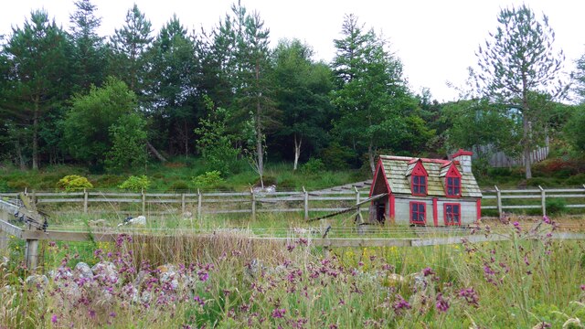
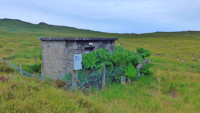
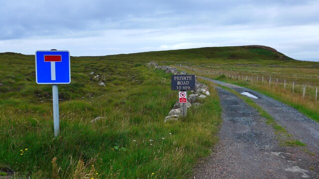
Ob nan Ròn Images

Images are sourced within 2km of 57.914085/-5.5791481 or Grid Reference NG8897. Thanks to Geograph Open Source API. All images are credited.

Boardwalk to the beach at Mellon Udrigle What a splendid name - Mellon Udrigle!  According to Google, the name means 'little hill of Udrigle'.
Boardwalk to the beach at Mellon Udrigle
What a splendid name - Mellon Udrigle! According to Google, the name means 'little hill of Udrigle'.
The beach at Mellon Udrigle What a splendid name - Mellon Udrigle! According to Google, the name means 'little hill of Udrigle'.
The beach at Mellon Udrigle
What a splendid name - Mellon Udrigle! According to Google, the name means 'little hill of Udrigle'.
The road to Opinan Confusingly, there is another Opinan in this part of NW Scotland.  It is on the road to Red Point.
The road to Opinan
Confusingly, there is another Opinan in this part of NW Scotland. It is on the road to Red Point.
On the left, Mallie's Cottage, on the road to Opinan
Duck (or hen?) house by the road to Opinan
Distant view of Opinan House
Small covered reservoir at Opinan The sign still reads 'North of Scotland Water Authority' although in 2002 Scottish Water was founded by a merger of West of Scotland Water Authority, East of Scotland Water Authority and North of Scotland Water Authority under the Water Industry (Scotland) Act 2002, an Act of the Scottish Parliament.
Small covered reservoir at Opinan
The sign still reads 'North of Scotland Water Authority' although in 2002 Scottish Water was founded by a merger of West of Scotland Water Authority, East of Scotland Water Authority and North of Scotland Water Authority under the Water Industry (Scotland) Act 2002, an Act of the Scottish Parliament.
The end of the public road at Opinan
House at Camas Rainich, Opinan
An Eoghail Where the Allt Loch a' Choire meets the sea.
An Eoghail
Where the Allt Loch a' Choire meets the sea.
End of the road,  Mellon Udrigle
End of the road, Mellon Udrigle
Signs at Mellon Udrigle road end One discourages parking in the area reserved for turning, the other indicates a circular walking route which heads up the coast from here.
Signs at Mellon Udrigle road end
One discourages parking in the area reserved for turning, the other indicates a circular walking route which heads up the coast from here.
Distinctive rock, Mellon Udrigle
Simple pleasures; enjoying the shore at Opinan
Crofthouses old and new at Opinan
To  Mellon  Udrigle  with  a  view  of  the  coastline Moorland and freshwater lochs around this crofting community
To Mellon Udrigle with a view of the coastline
Moorland and freshwater lochs around this crofting community
Mellon  Udrigle  and village  sign  in  sight A small crofting community with a wonderful beach, more than five people on the beach you have picked a busy day
Mellon Udrigle and village sign in sight
A small crofting community with a wonderful beach, more than five people on the beach you have picked a busy day
The  ascent  out  of  Mellon  Udrigle  toward  Laide The junction to the right goes to Opinan
The ascent out of Mellon Udrigle toward Laide
The junction to the right goes to Opinan
Show me another place!

Ob nan Ròn is located at Grid Ref: NG8897 (Lat: 57.914085, Lng: -5.5791481)

Unitary Authority: Highland

Police Authority: Highlands and Islands

What 3 Words

///inherits.zoned.modes. Near Gairloch, Highland

Related Wikis

Opinan, Laide, Highland

Opinan is a remote scattered crofting hamlet, in Achnasheen, Ross-shire, Scottish Highlands and is in the Scottish council area of Highland. The village...

Mellon Udrigle

Mellon Udrigle (Scottish Gaelic: Meallan Ùdraigil or Na Meall) is a small remote coastal tourist, fishing and crofting hamlet on the north west coast of...

Rubha Mòr

Rubha Mòr is a remote peninsula in west Scotland, in the western region of Ross and Cromarty. The peninsula stretches from Greenstone Point in the north...

Achgarve

Achgarve (Scottish Gaelic: An t-Achadh Garbh - the rough field) is a small coastal crofting and fishing hamlet, situated between Gruinard Bay and Loch...

Nearby Amenities

Located within 500m of 57.914085,-5.5791481
Source: PGS
Lat/Long: 57.9154101/-5.5716111
Source: PGS
Lat/Long: 57.9148915/-5.5714959
Source: PGS
Lat/Long: 57.9144484/-5.5719063
Source: PGS
Lat/Long: 57.9139392/-5.5721833
Created By: almien_coastlines
Source: PGS
Lat/Long: 57.913965/-5.573446
Source: PGS
Lat/Long: 57.9140713/-5.5741766
Source: PGS
Lat/Long: 57.9147294/-5.5746854
Source: PGS
Lat/Long: 57.9155143/-5.5738489
Source: PGS
Lat/Long: 57.9154939/-5.5746953
Source: PGS
Lat/Long: 57.9148983/-5.5755709
Source: PGS
Lat/Long: 57.9144895/-5.5761809
Created By: almien_coastlines
Source: PGS
Lat/Long: 57.91429/-5.576356
Created By: almien_coastlines
Source: PGS
Lat/Long: 57.914024/-5.576819
Created By: almien_coastlines
Source: PGS
Lat/Long: 57.913759/-5.577281
Source: PGS
Lat/Long: 57.9140219/-5.5771537
Created By: almien_coastlines
Source: PGS
Lat/Long: 57.913739/-5.578242
Source: PGS
Lat/Long: 57.913244/-5.5787426
Source: PGS
Lat/Long: 57.9130559/-5.5790591
Source: PGS
Lat/Long: 57.9130205/-5.5796921
Source: PGS
Lat/Long: 57.9132545/-5.5804324
Source: PGS
Lat/Long: 57.9139646/-5.5803439
Source: PGS
Lat/Long: 57.9146365/-5.580469
Source: PGS
Lat/Long: 57.9147023/-5.5798477
Source: PGS
Lat/Long: 57.9149413/-5.5792539
Source: PGS
Lat/Long: 57.9156794/-5.57934
Source: PGS
Lat/Long: 57.9157515/-5.5799105
Source: PGS
Lat/Long: 57.915597/-5.5805071
Source: PGS
Lat/Long: 57.9159064/-5.5807932
Source: PGS
Lat/Long: 57.9160557/-5.5813428
Source: PGS
Lat/Long: 57.9161365/-5.5823768
Created By: almien_coastlines
Source: PGS
Lat/Long: 57.916863/-5.582076
Source: PGS
Lat/Long: 57.9169257/-5.5816571
Source: PGS
Lat/Long: 57.916976/-5.5812403
Source: PGS
Lat/Long: 57.9174189/-5.5817522
Source: PGS
Lat/Long: 57.9178284/-5.5806826
Source: PGS
Lat/Long: 57.918114/-5.5802393
Bases of two WWII buildings
Historic: ruins
Lat/Long: 57.9136062/-5.5825392
Reportedly WWII RAF Observation Post
Historic: ruins
Lat/Long: 57.9139154/-5.582747
Building: residential
Lat/Long: 57.9127524/-5.5829806
Building: residential
Lat/Long: 57.9132171/-5.5828257
Power: pole
Lat/Long: 57.9124592/-5.5785059
Power: pole
Lat/Long: 57.9122865/-5.5794676
Power: pole
Lat/Long: 57.9121293/-5.5803573
Power: pole
Lat/Long: 57.9119421/-5.5813676
Power: pole
Lat/Long: 57.9117529/-5.5823702
Power: pole
Lat/Long: 57.911212/-5.5824228
Power: pole
Lat/Long: 57.9105429/-5.5828491
The data included in this document is from www.openstreetmap.org. The data is made available under ODbL.

Have you been to Ob nan Ròn?

Leave your review of Ob nan Ròn below (or comments, questions and feedback).