Port Chuile

Sea, Estuary, Creek in Argyllshire

Scotland

Port Chuile

Trig point at Eascairt Point looking over to Arran
Trig point at Eascairt Point looking over to Arran Credit: John Ferguson

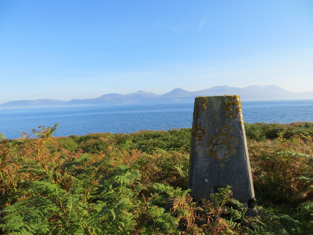
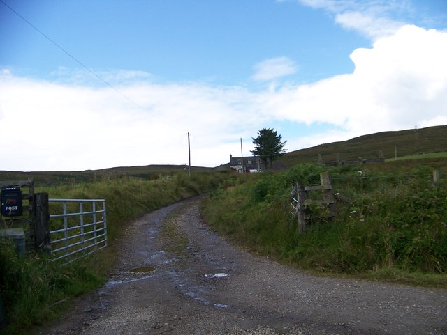
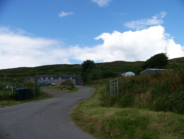
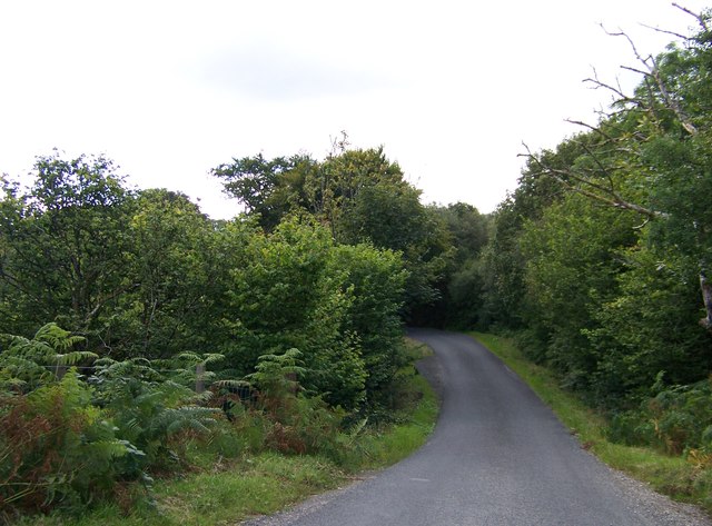
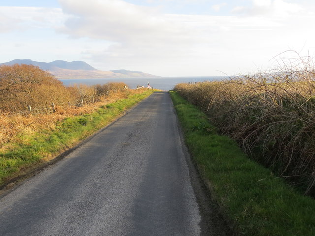
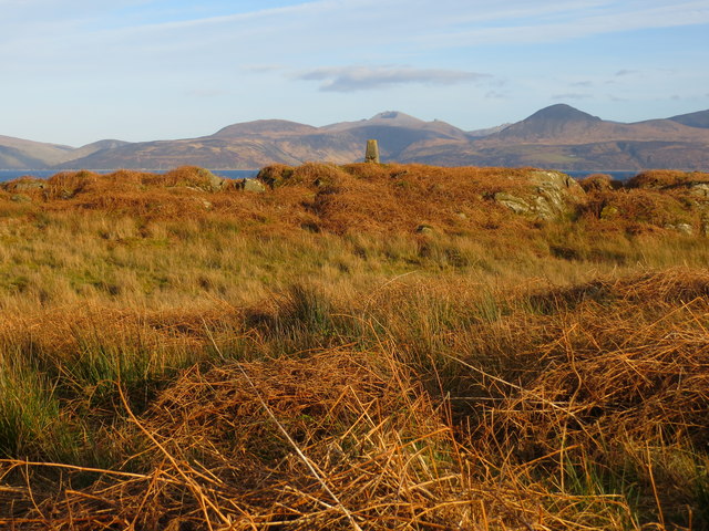
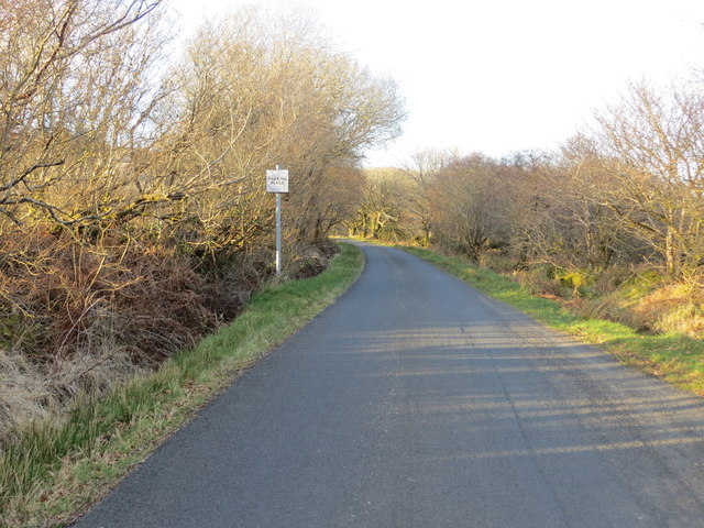
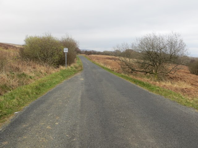
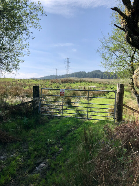
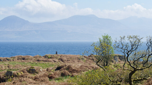
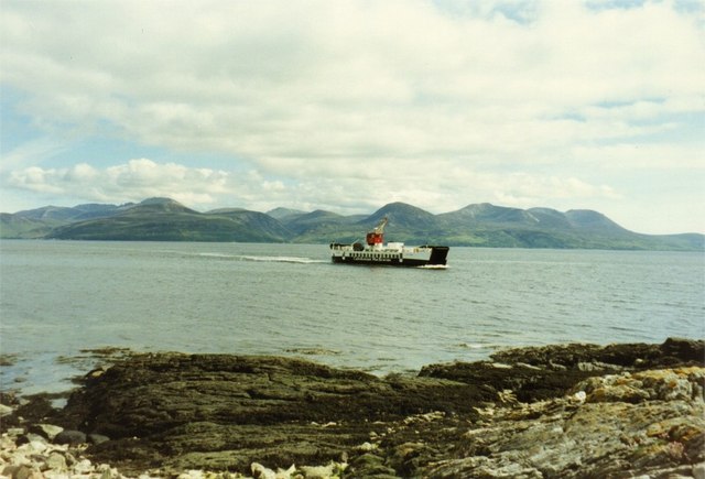
Port Chuile is a small coastal village located in Argyllshire, Scotland. Situated on the banks of a picturesque estuary, Port Chuile offers stunning views of the surrounding mountains and the sea. The village is a popular destination for tourists looking to experience the beauty of the Scottish coastline.

The estuary at Port Chuile is home to a variety of wildlife, including seals, otters, and a variety of seabirds. The calm waters of the estuary make it an ideal spot for kayaking, paddleboarding, and other water sports. The village also has a small marina where visitors can moor their boats and explore the surrounding area.

In addition to its natural beauty, Port Chuile is known for its charming cottages, local shops, and traditional Scottish pubs. The village is a great place to relax and unwind, away from the hustle and bustle of city life.

Overall, Port Chuile is a hidden gem in Argyllshire, offering visitors a peaceful retreat by the sea with plenty of opportunities for outdoor activities and exploration.

If you have any feedback on the listing, please let us know in the comments section below.

Port Chuile Images

Images are sourced within 2km of 55.725175/-5.4281655 or Grid Reference NR8453. Thanks to Geograph Open Source API. All images are credited.

Trig point at Eascairt Point looking over to Arran
Road to Oragaig Farm
Escart Farm
Escart Farm
B842 to Carradale
B842 to Carradale
B842 to Carradale
B842 to Carradale
Road (B842) from Claonaig to Carradale Looking southward from near to Oragaig.
Road (B842) from Claonaig to Carradale
Looking southward from near to Oragaig.
Eascairt Point and its Triangulation Pillar Looking south-eastward.
Eascairt Point and its Triangulation Pillar
Looking south-eastward.
Road (B842) between Carradale and Claonaig Looking north-eastward in the direction of Claonaig.
Road (B842) between Carradale and Claonaig
Looking north-eastward in the direction of Claonaig.
Road (B842) between Ravensbay and Allt Romain Looking north-eastward.
Road (B842) between Ravensbay and Allt Romain
Looking north-eastward.
View across the Kilbrannan Sound to Arran
Gate with view west
Gate with view west
Trig. Point, Eascairt Point
View across the Kilbrannan Sound to Arran
Early spring sunset over Arran from Kintyre One of those special moments when you have to stop the car and capture the view with an incredible quality of light
Early spring sunset over Arran from Kintyre
One of those special moments when you have to stop the car and capture the view with an incredible quality of light
Oragaig farmland near to Clonaig, Kintyre.
Oragaig farm buildings B842, Kintyre. Pretty run down out buildings.
Oragaig farm buildings B842, Kintyre.
Pretty run down out buildings.
Old sheep shelter at Oragaig.
Show me another place!

Port Chuile is located at Grid Ref: NR8453 (Lat: 55.725175, Lng: -5.4281655)

Unitary Authority: Argyll and Bute

Police Authority: Argyll and West Dunbartonshire

What 3 Words

///doctors.dozens.elect. Near Lochranza, North Ayrshire

Related Wikis

Claonaig

Claonaig (Scottish Gaelic: Claonaig, pronounced [ˈkʰl̪ˠɯːnɛkʲ]) is a hamlet on the east coast of the Kintyre peninsula in western Scotland, linked to Lochranza...

HMS Vandal

HMS Vandal (P64) was a Royal Navy U-class submarine built by Vickers-Armstrong at Barrow-in-Furness, yard number 838. The submarine had the shortest career...

Skipness

Skipness (Scottish Gaelic: Sgibinis, pronounced [ˈs̪kʲipɪnɪʃ]) is a village on the east coast of Kintyre in Scotland, located just over 7 miles (11 km...

Catacol Bay

Catacol Bay (Scottish Gaelic: Catagal bhàigh) is a small shallow-curved tidal, 310° facing, rocky coastal embayment located on the northwest tip of the...

Nearby Amenities

Located within 500m of 55.725175,-5.4281655
Created By: dmgroom_coastlines
Source: PGS
Lat/Long: 55.721973/-5.43234
Created By: dmgroom_coastlines
Source: PGS
Lat/Long: 55.722741/-5.432387
Created By: dmgroom_coastlines
Source: PGS
Lat/Long: 55.722895/-5.431036
Created By: dmgroom_coastlines
Source: PGS
Lat/Long: 55.723169/-5.430145
Created By: dmgroom_coastlines
Source: PGS
Lat/Long: 55.723315/-5.429246
Created By: dmgroom_coastlines
Source: PGS
Lat/Long: 55.724083/-5.429294
Created By: dmgroom_coastlines
Source: PGS
Lat/Long: 55.724109/-5.427934
Created By: dmgroom_coastlines
Source: PGS
Lat/Long: 55.724361/-5.428177
Created By: dmgroom_coastlines
Source: PGS
Lat/Long: 55.725124/-5.428451
Created By: dmgroom_coastlines
Source: PGS
Lat/Long: 55.725278/-5.427099
Created By: dmgroom_coastlines
Source: PGS
Lat/Long: 55.725411/-5.426881
Created By: dmgroom_coastlines
Source: PGS
Lat/Long: 55.725543/-5.426661
Created By: dmgroom_coastlines
Source: PGS
Lat/Long: 55.725676/-5.426443
Created By: dmgroom_coastlines
Source: PGS
Lat/Long: 55.726704/-5.426279
Created By: dmgroom_coastlines
Source: PGS
Lat/Long: 55.726722/-5.425373
Created By: dmgroom_coastlines
Source: PGS
Lat/Long: 55.727485/-5.425648
Created By: dmgroom_coastlines
Source: PGS
Lat/Long: 55.727732/-5.426117
Created By: dmgroom_coastlines
Source: PGS
Lat/Long: 55.728243/-5.426149
Created By: dmgroom_coastlines
Source: PGS
Lat/Long: 55.728375/-5.425929
Created By: dmgroom_coastlines
Source: PGS
Lat/Long: 55.728508/-5.425711
Created By: dmgroom_coastlines
Source: PGS
Lat/Long: 55.72928/-5.425531
Power: pole
Lat/Long: 55.7263795/-5.4357495
Power: pole
Lat/Long: 55.7272128/-5.4351135
Power: pole
Lat/Long: 55.7274578/-5.4342743
Power: pole
Lat/Long: 55.7277193/-5.433377
Power: pole
Lat/Long: 55.7282597/-5.4323593
Power: pole
Lat/Long: 55.7288052/-5.4313639
Power: pole
Lat/Long: 55.7293418/-5.4303662
Power: pole
Lat/Long: 55.7252482/-5.4350577
The data included in this document is from www.openstreetmap.org. The data is made available under ODbL.

Have you been to Port Chuile?

Leave your review of Port Chuile below (or comments, questions and feedback).