Port a' Ghlas Eilean

Sea, Estuary, Creek in Inverness-shire

Scotland

Port a' Ghlas Eilean

Looking down on Eilean Chlamail
Looking down on Eilean Chlamail Credit: David Medcalf

The requested URL returned error: 429 Too Many Requests

If you have any feedback on the listing, please let us know in the comments section below.

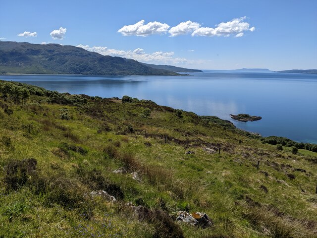
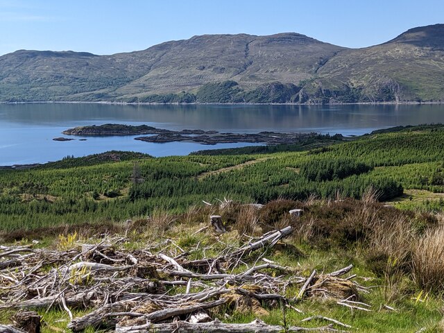
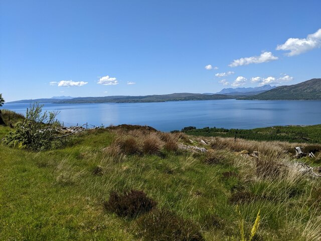
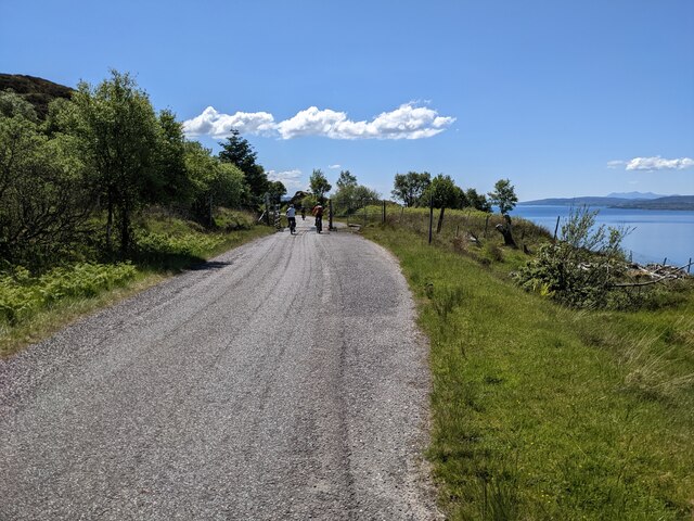
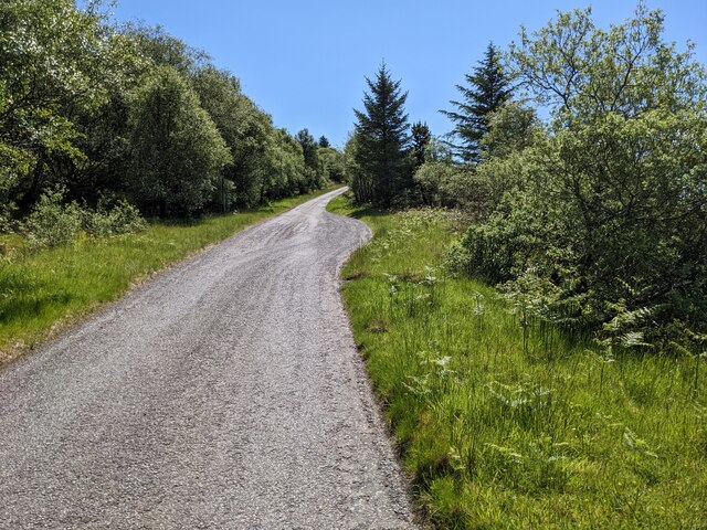
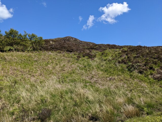
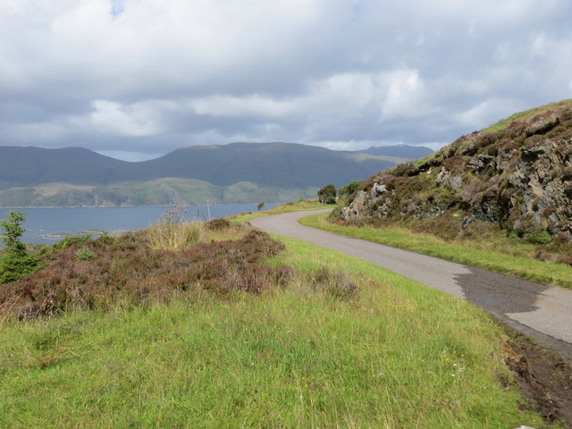
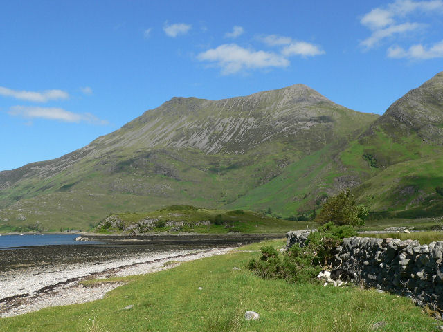
Port a' Ghlas Eilean Images

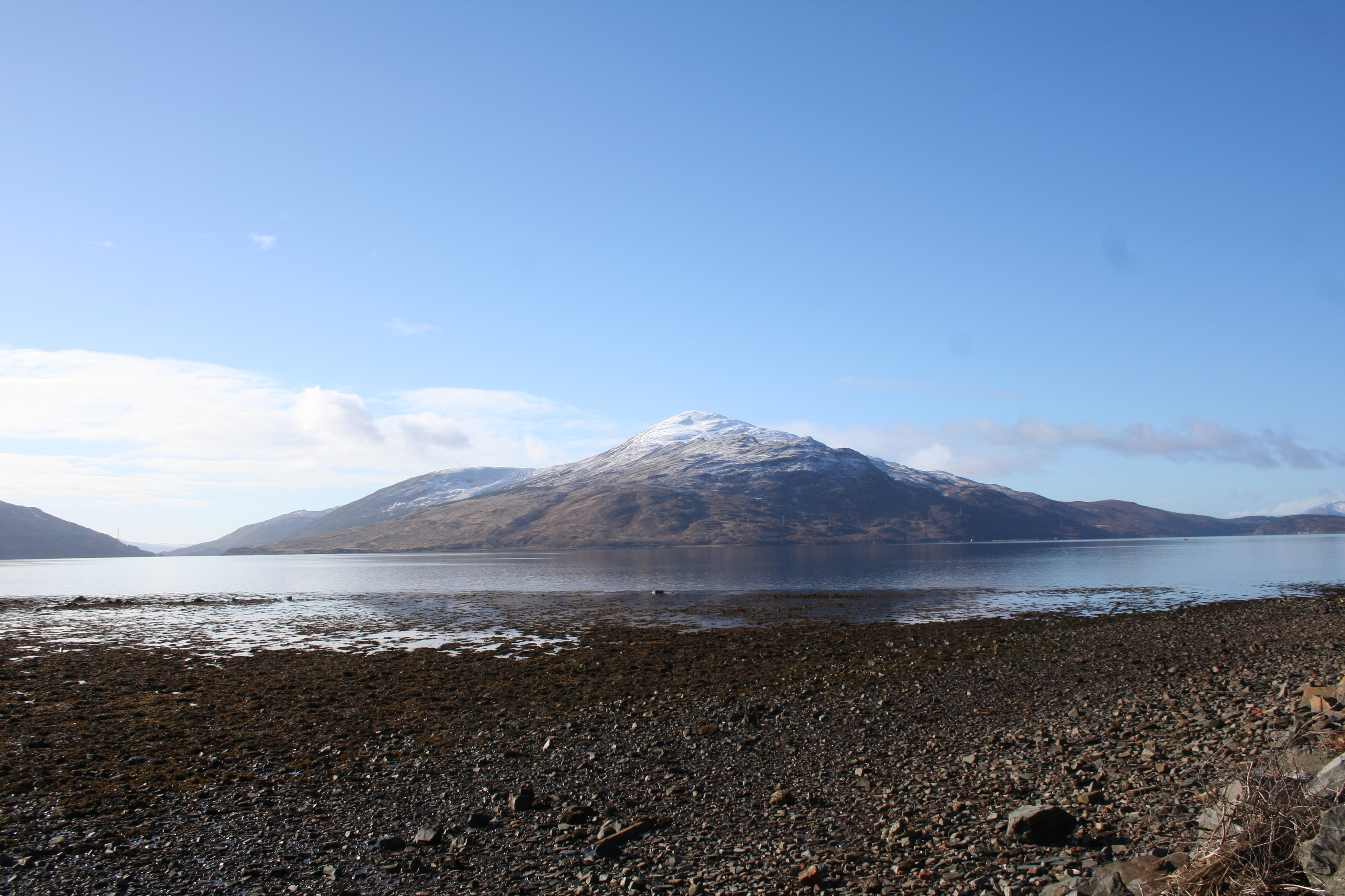
Images are sourced within 2km of 57.143863/-5.6632542 or Grid Reference NG7811. Thanks to Geograph Open Source API. All images are credited.

Looking down on Eilean Chlamail
Forestry clearance near Sandaig
Looking down on the Sound of Sleat
The road to Arnisdale
Rocks, conifer and heather above the Arnisdale road
Scrub below the road
A stand of trees below the road
A passing-place on the Arnisdale road
Moorland above the road
The road to Arnisdale
The rocky sides of the road
The road to Arnisdale
Thick vegetation above the road
Trees above the Arnisdale road
Trees and rocks above the road
Minor road to the west of Mam an Staing Looking north-westward across the Sound of Sleat to Skye
Minor road to the west of Mam an Staing
Looking north-westward across the Sound of Sleat to Skye
Minor road near to Creag a' Chaise Looking north-westward.
Minor road near to Creag a' Chaise
Looking north-westward.
Show me another place!

Port a' Ghlas Eilean is located at Grid Ref: NG7811 (Lat: 57.143863, Lng: -5.6632542)

Unitary Authority: Highland

Police Authority: Highlands and Islands

What 3 Words

///tastier.motivations.villas. Near Glenelg, Highland

Related Wikis

Loch Hourn

Loch Hourn (Scottish Gaelic: Loch Shubhairne) is a sea loch which separates the peninsulas of Glenelg to the north and Knoydart to the south, on the west...

Beinn Sgritheall

Beinn Sgritheall or Beinn an Sgrithill (Scottish Gaelic for 'scree mountain'), also anglicized Ben Sgriol, is the highest mountain on the Glenelg peninsula...

Beinn na Caillich (Knoydart)

Beinn na Caillich (Scottish Gaelic for 'mountain of the old woman or Cailleach') is a mountain with a height of 732 metres (2,402 ft) in Knoydart, in the...

Beinn a' Chapuill

Beinn a' Chapuill (759 m) is a mountain in the Northwest Highlands of Scotland. It is located in Ross and Cromarty, close to the community of Glenelg....

Nearby Amenities

Located within 500m of 57.143863,-5.6632542
Created By: almien_coastlines
Source: PGS
Lat/Long: 57.146565/-5.668811
Source: PGS
Lat/Long: 57.1465816/-5.6682572
Source: PGS
Lat/Long: 57.1464481/-5.6680777
Source: PGS
Lat/Long: 57.1460832/-5.6676678
Source: PGS
Lat/Long: 57.1456177/-5.6682119
Source: PGS
Lat/Long: 57.1450625/-5.6681252
Source: PGS
Lat/Long: 57.1447901/-5.6673795
Created By: almien_coastlines
Source: PGS
Lat/Long: 57.144683/-5.667027
Created By: almien_coastlines
Source: PGS
Lat/Long: 57.14456/-5.666782
Created By: almien_coastlines
Source: PGS
Lat/Long: 57.144324/-5.665822
Source: PGS
Lat/Long: 57.1448213/-5.6641622
Source: PGS
Lat/Long: 57.1445097/-5.6626703
Source: PGS
Lat/Long: 57.1441547/-5.6620036
Source: PGS
Lat/Long: 57.1436103/-5.6610626
Source: PGS
Lat/Long: 57.1434543/-5.6608848
Source: PGS
Lat/Long: 57.1433155/-5.6608964
Source: PGS
Lat/Long: 57.1432272/-5.6606759
Source: PGS
Lat/Long: 57.1427876/-5.6600305
Source: PGS
Lat/Long: 57.1426665/-5.6597603
Source: PGS
Lat/Long: 57.142913/-5.6587166
Source: PGS
Lat/Long: 57.1428579/-5.6581735
Source: PGS
Lat/Long: 57.1426366/-5.658068
Source: PGS
Lat/Long: 57.1424129/-5.6565625
Source: PGS
Lat/Long: 57.1422685/-5.6563827
Source: PGS
Lat/Long: 57.1421206/-5.6558591
Port Luinge
Natural: bay
Lat/Long: 57.1459324/-5.6690303
Rubha Buidhe
Natural: cape
Lat/Long: 57.145036/-5.6675497
Port a' Ghlas Eilean
Natural: bay
Lat/Long: 57.1437227/-5.6629714
The data included in this document is from www.openstreetmap.org. The data is made available under ODbL.

Have you been to Port a' Ghlas Eilean?

Leave your review of Port a' Ghlas Eilean below (or comments, questions and feedback).