Port Thairbeirt Dheas
Sea, Estuary, Creek in Inverness-shire
Scotland
Port Thairbeirt Dheas

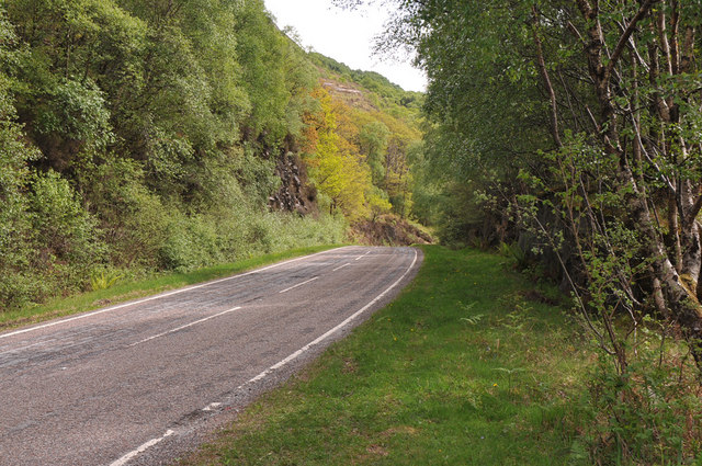
Port Thairbeirt Dheas, also known as Port of Inverness, is a scenic coastal settlement located in Inverness-shire, Scotland. Situated on the eastern bank of the River Ness, it serves as a key gateway to the Scottish Highlands. The port encompasses a diverse range of features including a seafront, estuary, and creek, making it a popular destination for marine enthusiasts and nature lovers alike.
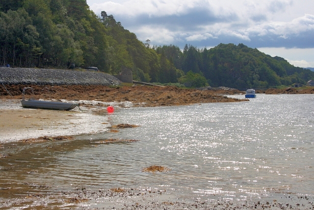
The seafront of Port Thairbeirt Dheas offers breathtaking views of the Moray Firth, a vast expanse of water that stretches along the northeastern coast of Scotland. This picturesque coastline is renowned for its stunning beaches, rugged cliffs, and diverse marine life, making it a haven for activities such as sailing, yachting, and fishing.
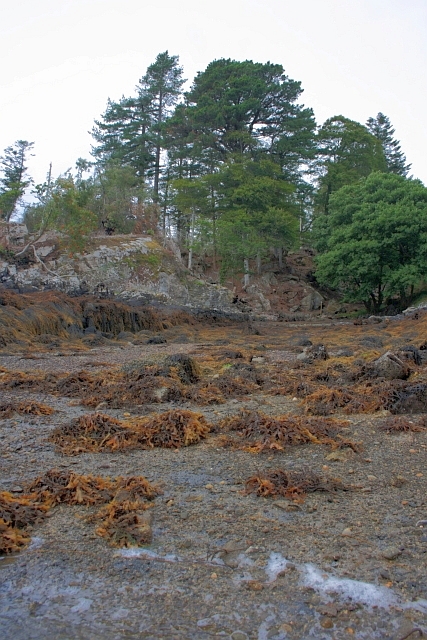
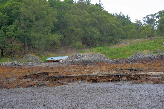
The estuary of the River Ness, which flows into the sea at Port Thairbeirt Dheas, provides a unique habitat for various bird species and marine creatures. It is a designated Special Protection Area due to its importance as a feeding ground for migratory birds. Visitors can witness a rich tapestry of birdlife, including gulls, herons, and even the occasional osprey, as they explore the estuary's marshy tidal flats.
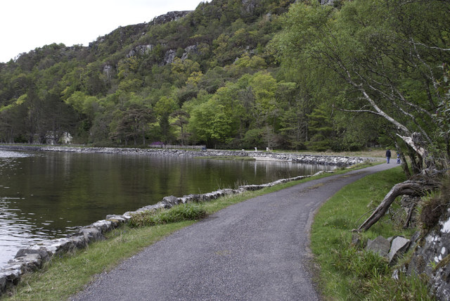
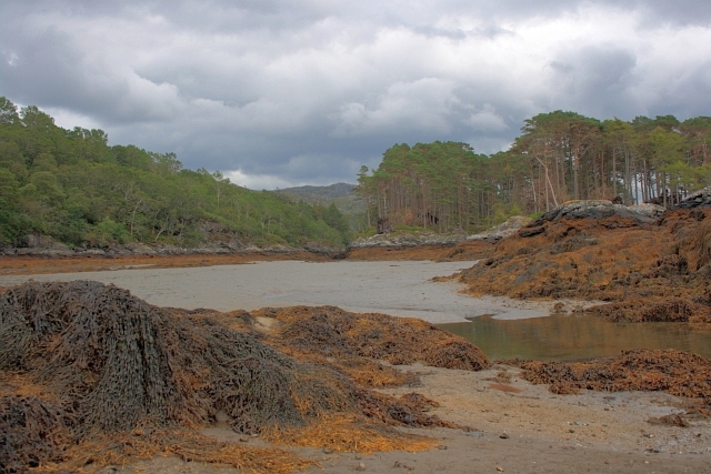
A highlight of Port Thairbeirt Dheas is the winding creek that meanders through the town, offering a serene and tranquil setting. The creek provides a natural harbor for small boats and creates an idyllic backdrop for leisurely walks along its banks.
Overall, Port Thairbeirt Dheas is a captivating coastal settlement that showcases the beauty of Scotland's marine landscape. Its seafront, estuary, and creek offer a unique blend of recreational activities, wildlife encounters, and scenic vistas, making it an enchanting destination for both locals and tourists to explore.
If you have any feedback on the listing, please let us know in the comments section below.
Port Thairbeirt Dheas Images
Images are sourced within 2km of 56.792732/-5.8323807 or Grid Reference NM6673. Thanks to Geograph Open Source API. All images are credited.


Port Thairbeirt Dheas is located at Grid Ref: NM6673 (Lat: 56.792732, Lng: -5.8323807)
Unitary Authority: Highland
Police Authority: Highlands and Islands
What 3 Words
///screaming.mailboxes.shaver. Near Arisaig, Highland
Nearby Locations
Related Wikis

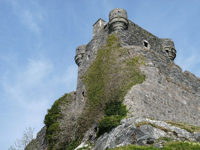
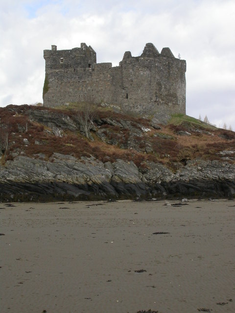
Castle Tioram
Castle Tioram (; Scottish Gaelic: Caisteal Tioram, meaning "dry castle") is a ruined castle that sits on the tidal island Eilean Tioram in Loch Moidart...

Eilean Shona
Eilean Shona (Scottish Gaelic: Eilean Seòna) is a tidal island in Loch Moidart, Scotland. The modern name may be from the Old Norse for "sea island". The...

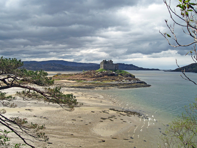
Loch Moidart
Loch Moidart is a sea loch (sea inlet) in the district of Moidart in Highland, Scotland. It is on the west coast of Scotland, and runs about 8 km (5 miles...
Newton of Ardtoe
Newton of Ardtoe is a scattered crofting hamlet near Acharacle in Lochaber, Scottish Highlands and is in the council area of Highland.
Nearby Amenities
Located within 500m of 56.792732,-5.8323807Have you been to Port Thairbeirt Dheas?
Leave your review of Port Thairbeirt Dheas below (or comments, questions and feedback).